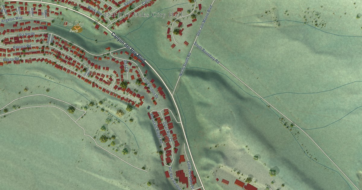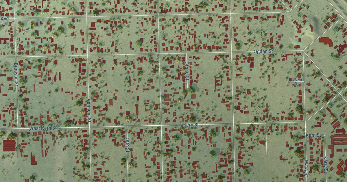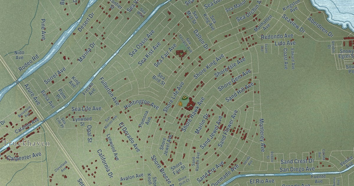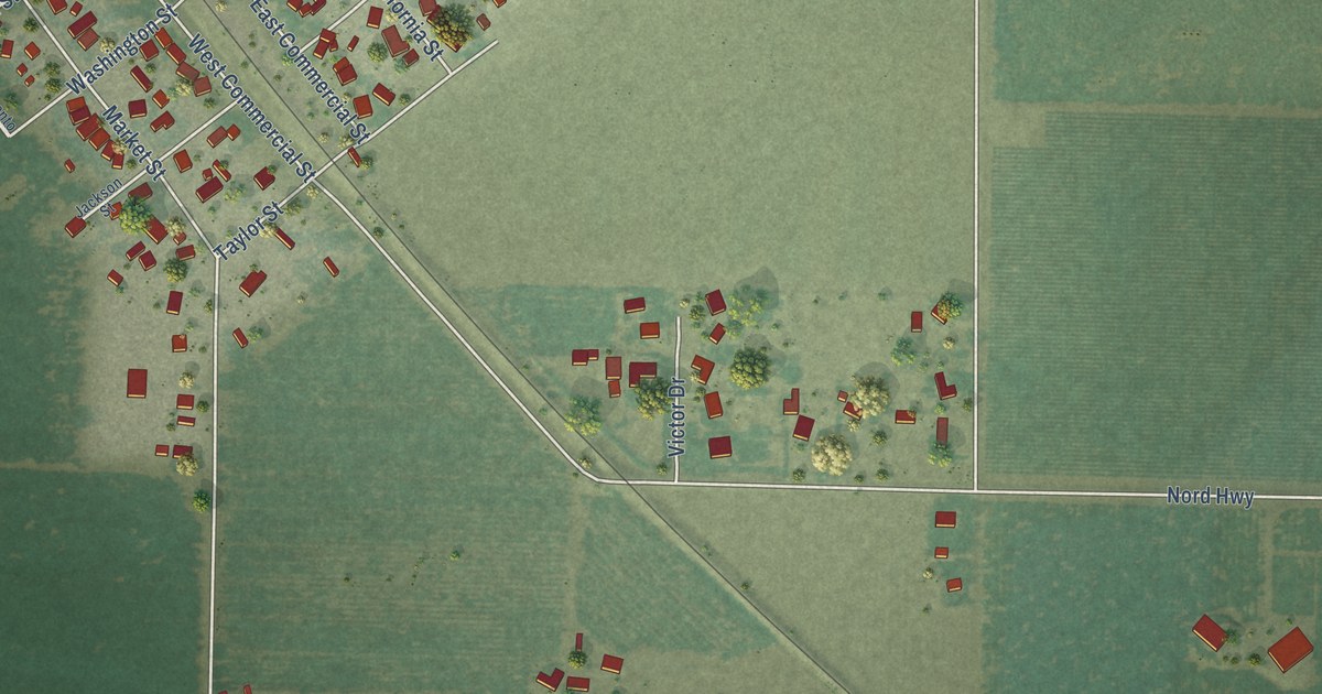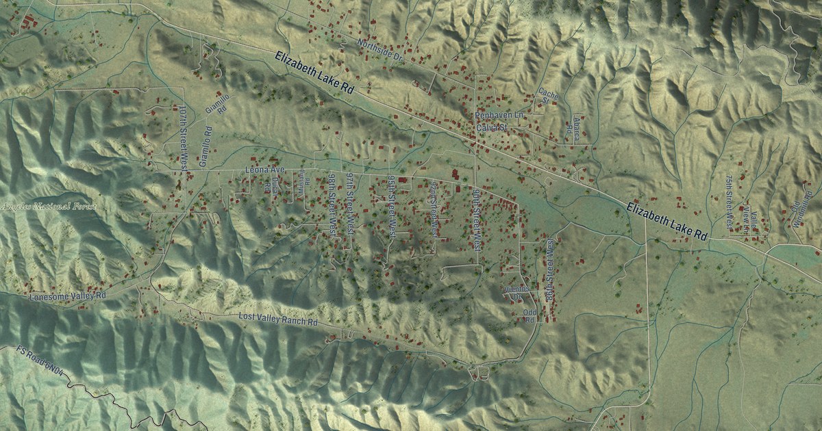
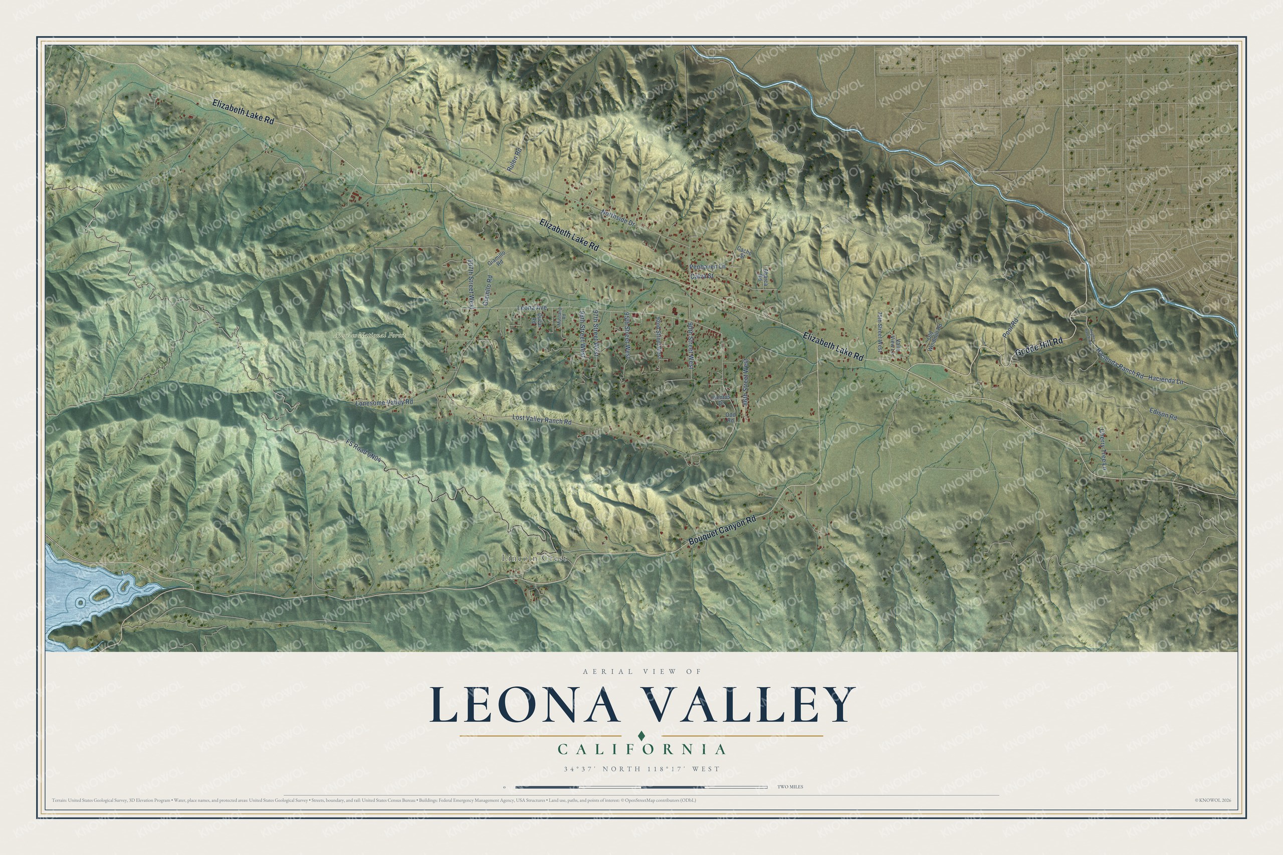
This beautifully detailed map of Leona Valley, California was created in 2026 using aerial imagery combined with modern topographical, census, street and landmark data. It's a modern aerial view of Leona Valley in Los Angeles County, California, that combines modern data with a vintage aesthetic. The roads feature printed names, and if you look closely you can find your exact house accurately shown in its correct location.
Explore an aerial view of Leona Valley, California
On this map you'll find Lincoln Crest, Angeles National Forest, Godde Hill Road, Elizabeth Lake Road, Bouquet Canyon Road, Leona Avenue, Lost Valley Ranch Road, FS Road 6N04, Northside Drive, Edison Road, Hacienda Lane, Hacienda Ranch Road, and more. Each red shape is a building, so zoom in on the preview and look for yours.
Here is a piece of Leona Valley history. Leona Valley is named for Miguel Leonis, a Basque sheepherder who grazed his sheep and cattle from Calabasas up through the valley and gained vast holdings there. The name changed from Leonis to Leona Valley in 1924, when Frank D. Hall had the middle of the valley divided into lots. Long before that, the Kitanemuk people lived in the valley for centuries, in communal houses made of tule. That's from the 1954 Leona Valley history by Elise Johnson.
Leona Valley is a community in Los Angeles County. The Census Bureau counted 1,555 people here in 2020.
Take a closer look at the Leona Valley map
Names on this map
These names are printed on this map.
Places: Lincoln Crest and Angeles National Forest.
Streets and roads: Godde Hill Road, Elizabeth Lake Road, Bouquet Canyon Road, Leona Avenue, Lost Valley Ranch Road, Northside Drive, Edison Road, Hacienda Lane, Hacienda Ranch Road, 90th Street West, Lonesome Valley Road, 86th Street West.
More street names, A to Z
75th Street West, 92nd Street West, 95th Street West, 97th Street West, 98th Street West, 107th Street West, Abarca Road, Cache Street, Calva Street, Cherry Tree Lane, Ducal Road, Giamillo Road, Giamllo Road, Hughes Ranch Road, Mustang Road, Odd Road, Old Windmill Road, Penhaven Lane, Poor Road, Rulen Road, Valle View Lane, Vientos Drive.
See it on a wall
The Leona Valley map as a framed print. Swipe for more.


Created by KNOWOL in 2026. The buildings are small red shapes, the roads carry their printed names, and shaded relief shows the shape of the land. The title panel reads "AERIAL VIEW OF LEONA VALLEY, CALIFORNIA" with 34°37' NORTH 118°17' WEST.
It suits a den, a classroom or a front hall, and it makes a gift for anyone with Leona Valley roots. Open the preview and find the block you know. See sizes and frames for the Leona Valley map.