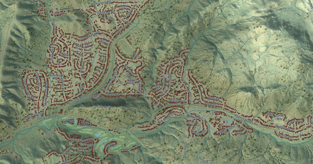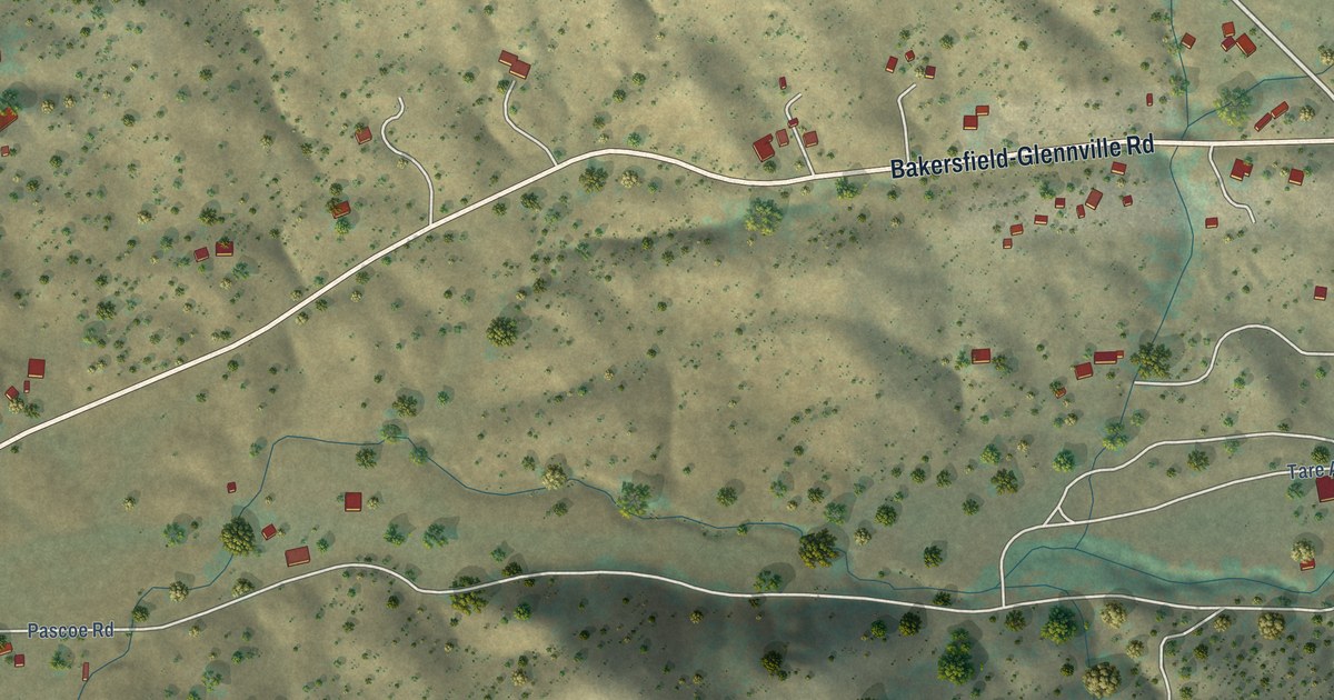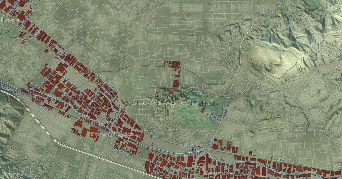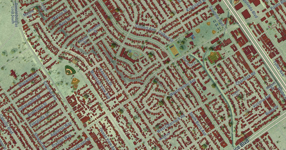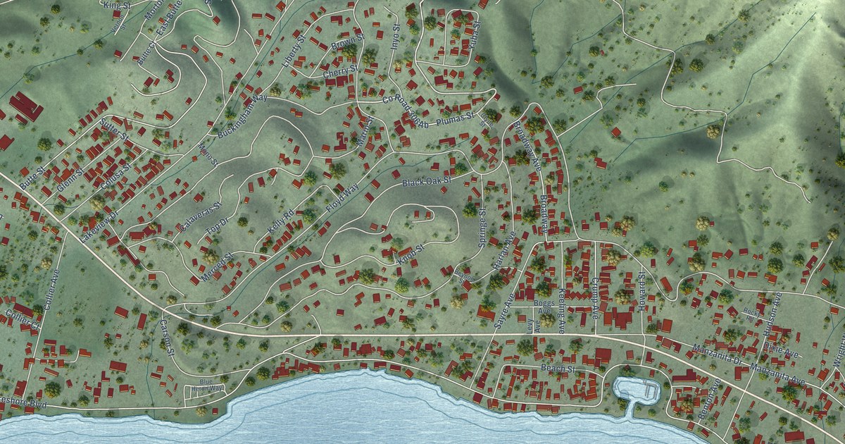
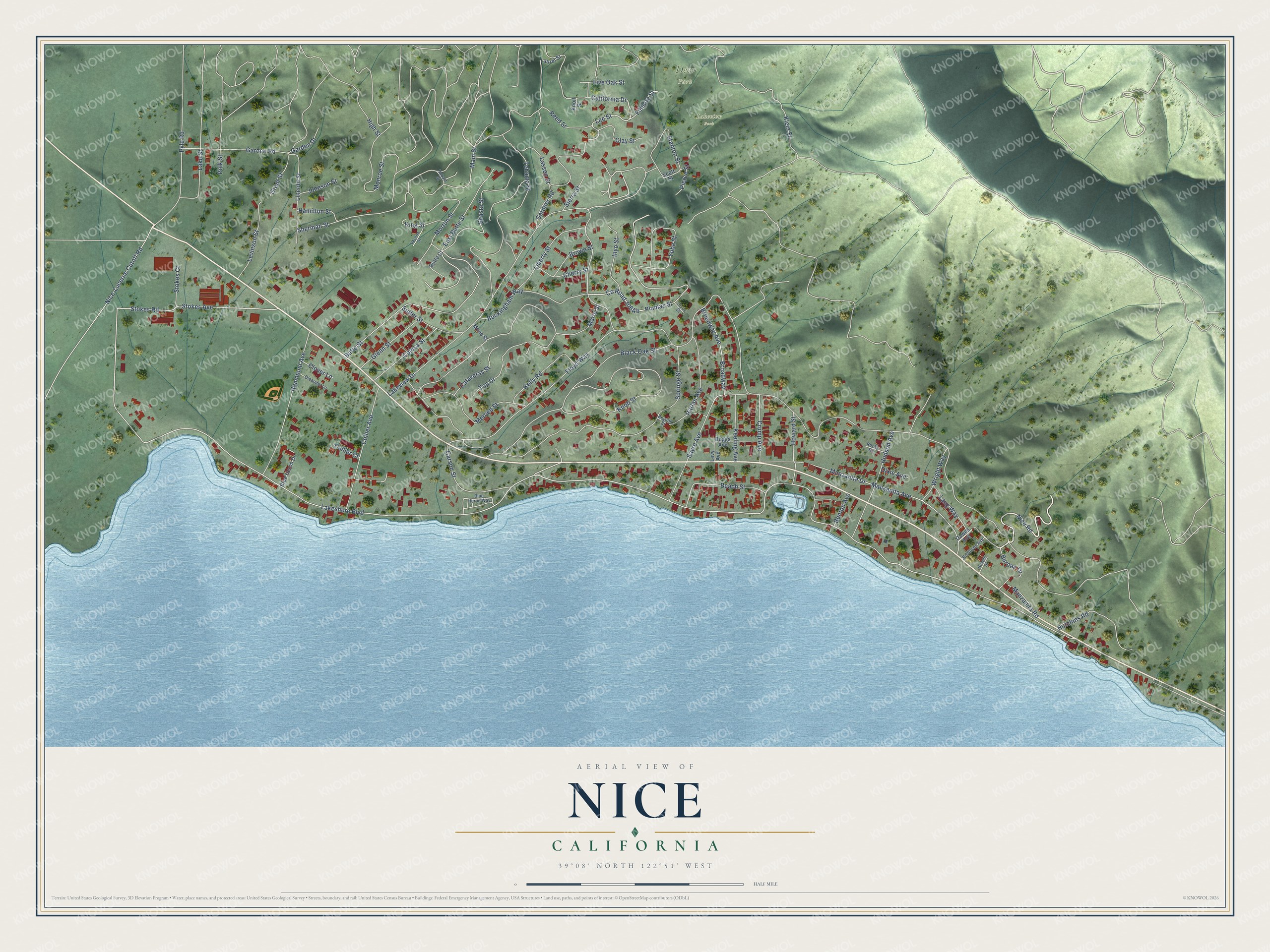
This beautifully detailed map of Nice, California was created in 2026 using aerial imagery combined with modern topographical, census, street and landmark data. It's a modern aerial view of Nice in Lake County, California, that combines modern data with a vintage aesthetic. The roads feature printed names, and if you look closely you can find your exact house accurately shown in its correct location.
Explore an aerial view of Nice, California
On this map you'll find Deer Park, Lakeview Park, Nice Road, High Street, Lee Street, Plumas Street, Lakeview Drive, Lakeshore Boulevard, Marin Street, Butte Street, Springe Street, Manzanita Avenue, and more. Each red shape is a building, so zoom in on the preview and look for yours.
Nice is a community in Lake County. The Census Bureau counted 2,929 people here in 2020. Nice sits about 4 miles southeast of Upper Lake, 4 miles northeast of North Lakeport and 7 miles northwest of Lucerne. The map prints the town name in its title panel, with the coordinates below it.
Take a closer look at the Nice map
Names on this map
These names are printed on this map.
Places: Deer Park and Lakeview Park.
Streets and roads: Nice Road, High Street, Lee Street, Plumas Street, Lakeview Drive, Lakeshore Boulevard, Marin Street, Butte Street, Springe Street, Manzanita Avenue, Tehama Street, Knob Street.
More street names, A to Z
Beach Street, Benton Avenue, Beynon Street, Black Oak Street, Blue Heron Drive, Blue Heron Way, Boggs Avenue, Broadway, Broadway Avenue, Brown Street, Buckingham Way, Burpee Drive, Butte Court, Calaveras Street, California Drive, Carson Street, Cherry Street, Clay Street, Clover Lane, Clyde Street, Collier Avenue, Collier Court, Colusa Street, Crump Avenue, Dawes Avenue, Dixie Avenue, East Butte Street, Filmore Street, Floyd Way, Garden Drive, Garden Road, Gardner Road, Glenn Street, Grant Street, Hamilton Street, Hammond Avenue, Harlan Avenue, Hobart Street, Howard Street, Howes Street, Hudson Avenue, Hutchins Road, Inyo Street, Johnson Street, Keeling Avenue, Kelly Road, King Street, Klein Street, Knoll Street, Lake Street, Lang Way, Lassen Street, Laurel Street, Levinson Street, Levy Avenue, Liberty Street, Lincoln Street, Live Oak Street, Main Street, Manzanita Drive, Manzanita Road, Merced Street, Mono Street, Monroe Street, Morton Street, Nice-Lucerne Cutoff Road, Oleander Lane, Pierce Street, Polk Street, Pyle Road, Reed Street, Robinson Avenue, Rocky Road, Sayre Avenue, Scott Street, Shasta Street, Sherman Street, Sierra Street, Stanton Street, Stokes Avenue, Stokes Court, Stokes Road, Sutter Street, Top Drive, Vernon Street, Wright Way, Yuba Street.
See it on a wall
The Nice map as a framed print. Swipe for more.


Created by KNOWOL in 2026. The buildings are small red shapes, the roads carry their printed names, and shaded relief shows the shape of the land. The title panel reads "AERIAL VIEW OF NICE, CALIFORNIA" with 39°08' NORTH 122°51' WEST.
It suits a den, a classroom or a front hall, and it makes a gift for anyone with Nice roots. Open the preview and find the block you know. See sizes and frames for the Nice map.