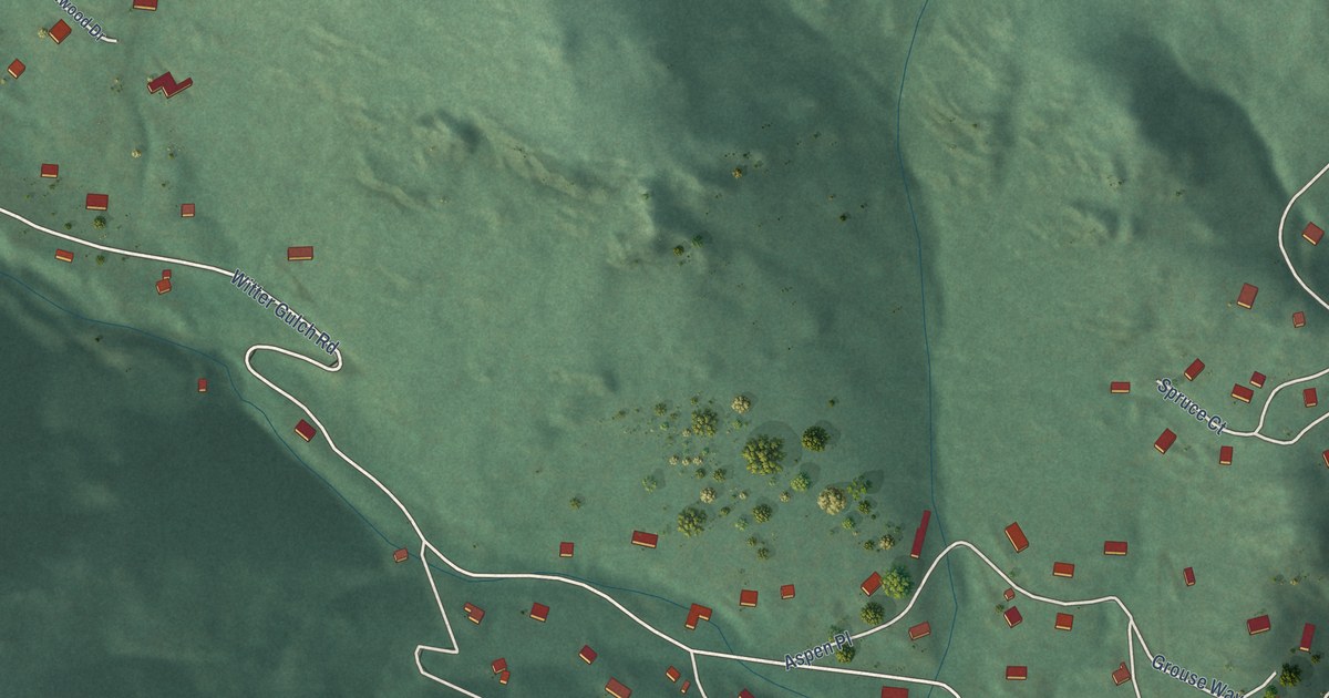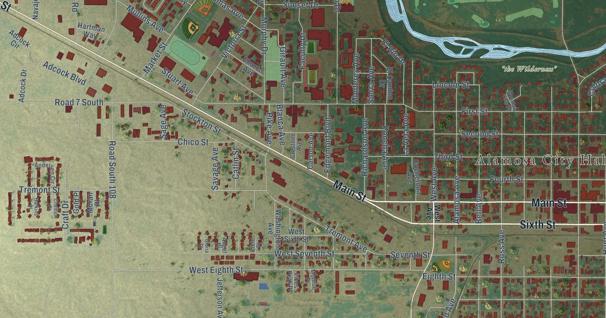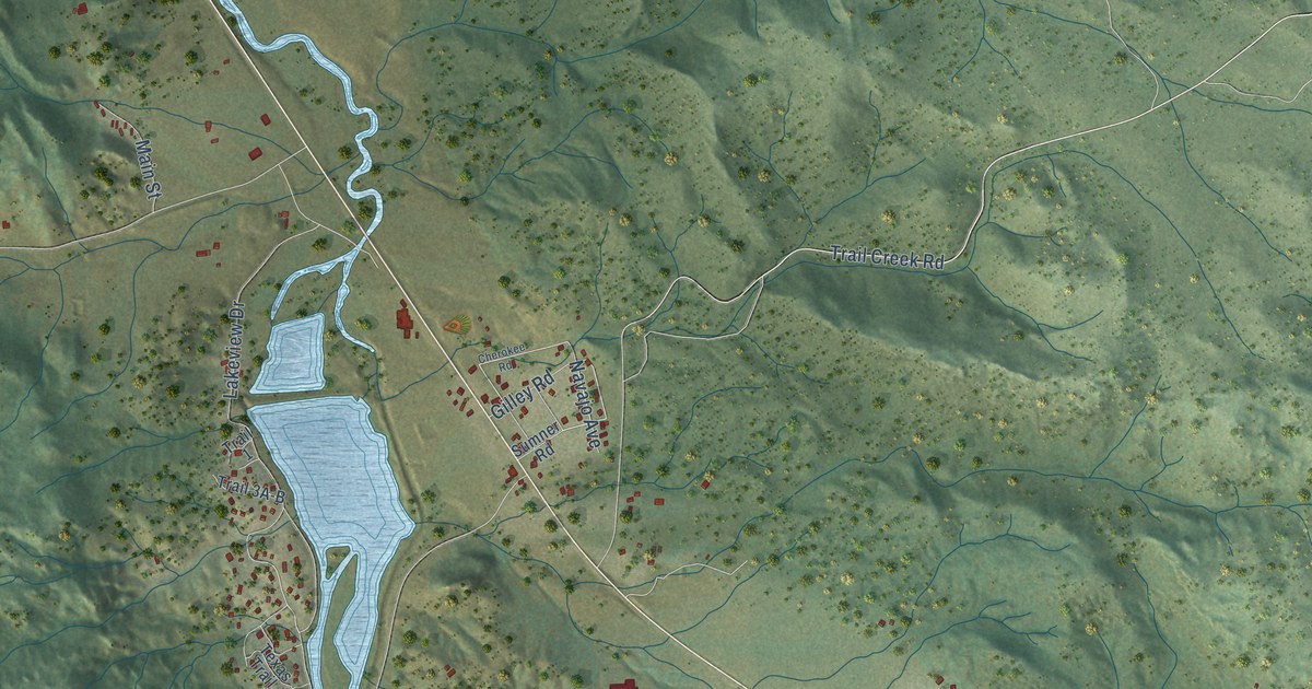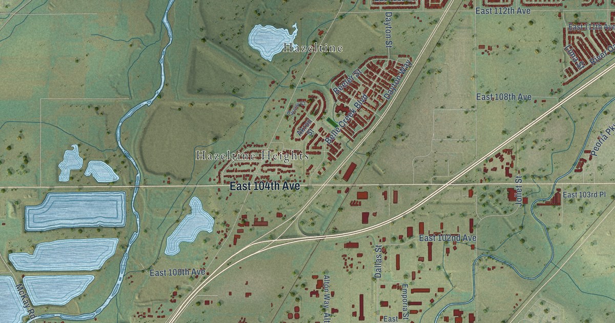
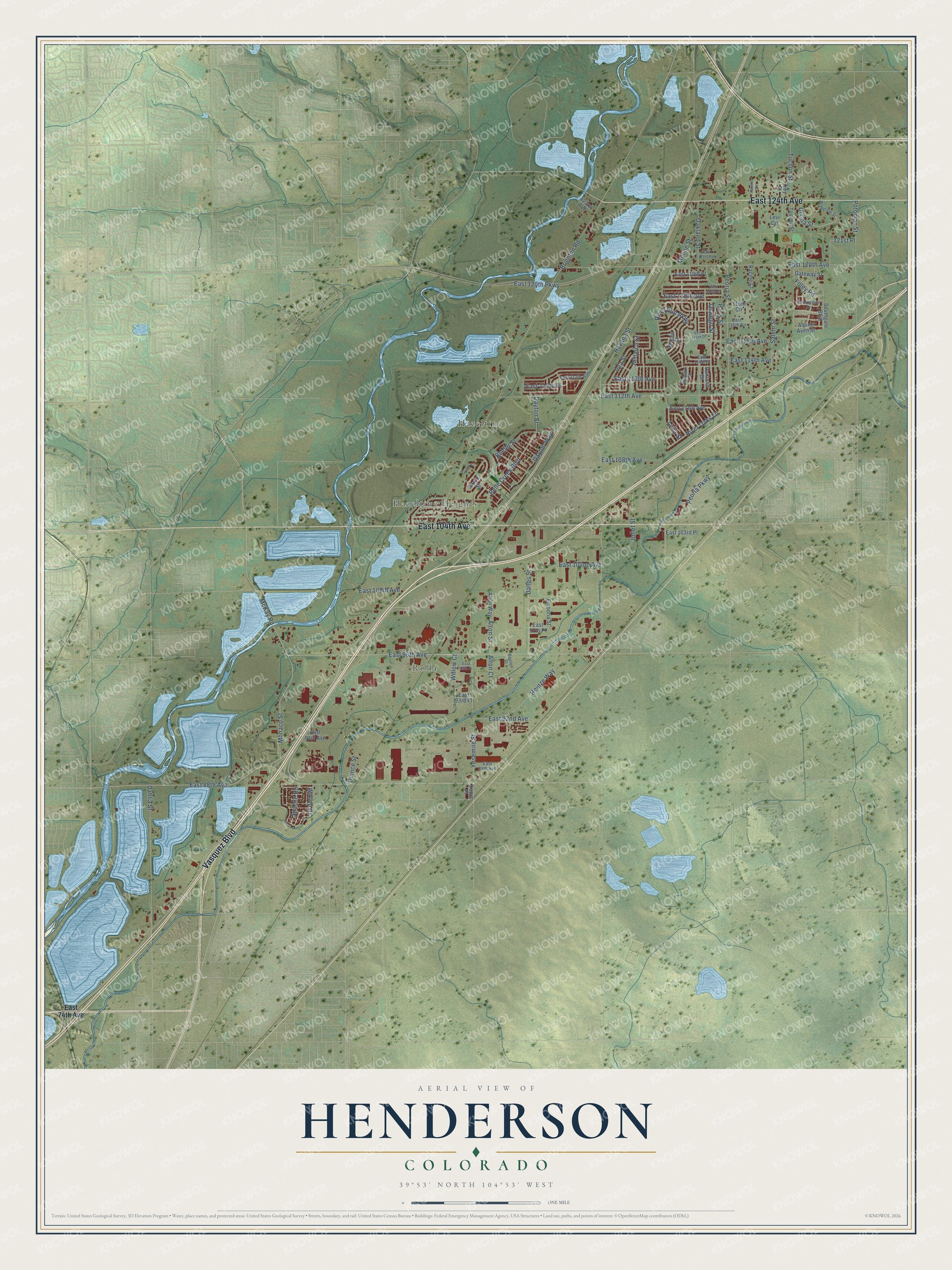
This beautifully detailed map of Henderson, Colorado was created in 2026 using aerial imagery combined with modern topographical, census, street and landmark data. It’s a one-of-a-kind view of Henderson that combines accurate data with a vintage aesthetic. The map shows every building in its true location, many of the roads carry their names, and the shaded topographic relief shows the shape of the land.
Explore an aerial view of Henderson, Colorado
On the map you’ll find Hazeltine Heights, Rolla, and Hazeltine, along with East 104th Avenue, East 124th Avenue, Vasquez Boulevard, Brighton Road, East 88th Avenue, East 96th Avenue, Monaco Street, McKay Road, Dallas Street, and more. If you look closely you can even find your house accurately drawn in its correct location. Zoom in on the preview to look for yours.
Did You Know?
From Internet Archive: "Sarah Henderson (Miller) Church was born in Toulon, Stark county, Illinois, October 30, 1838."
Henderson is a community in Adams County.
Take a closer look at the Henderson map
Names on this map
These names are printed on this map.
Places: Hazeltine Heights, Rolla and Hazeltine.
Streets and roads: East 104th Avenue, East 124th Avenue, Vasquez Boulevard, Brighton Road, East 88th Avenue, East 96th Avenue, Monaco Street, McKay Road, Dallas Street, East 112th Place, Lima Street, Havana Street.
More street names, A to Z
116th Circle, 121st Place, 123rd Avenue, Akron Street, Alpine Aven Street, Alton Court, Alton Street, Alton Way, Apache Road, Barclay Court, Beeler Street, Belle Creek Boulevard, Boston Street, Dahlia Street, Dayton Street, Dayton Way, East 74th Avenue, East 89th Avenue, East 91st Avenue, East 92nd Avenue, East 93rd Place, East 95th Place, East 97th Place, East 100th Avenue, East 102nd Avenue, East 103rd Place, East 108th Avenue, East 111th Avenue, East 112th Avenue, East 112th Way, East 113th Avenue, East 114th Avenue, East 114th Place, East 115th Avenue, East 115th Drive, East 116th Circle, East 118th Avenue, East 118th Place, East 119th Place, East 120th Avenue, East 120th Parkway, East 121st Avenue, Emporia Street, Foley Road, Gateway Street, Heinze Way, Iola Street, Jamaica Street, Joliet Street, Levi Circle, Macon Street, Moline Street, Newark Street, Oakland Drive, Oakland Street, Oswego Street, Paris Street, Penstemon Drive, Peoria Parkway, Peoria Street, Potomac Street, Quince Street, Racine Court, Racine Street, River Oaks Lane, River Run Parkway, Salem Street, Southgate Boulevard, Troy Street, Tucson Street, Tuscon Street, Ursula Street, Wheeling Street, Wikiup Drive, Willow Court, Xenia Place, Yosemite Street.
See it on a wall
The Henderson map as a framed print. Swipe for more.


This beautifully detailed map of Henderson makes an attractive addition to your office, library, or den, and it can even be used to teach children the geography and history of the area. It also makes a great gift for anyone with Henderson roots. When you’re done exploring, click here to get your copy of the Henderson map.