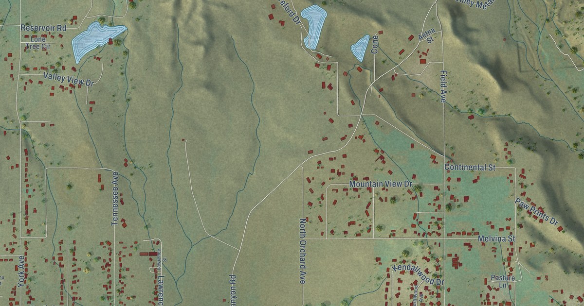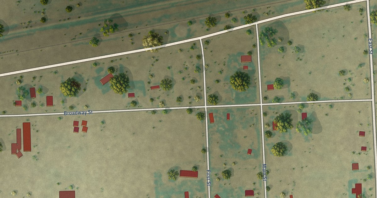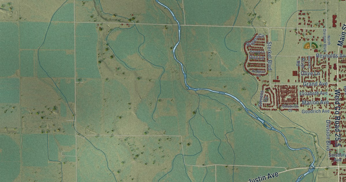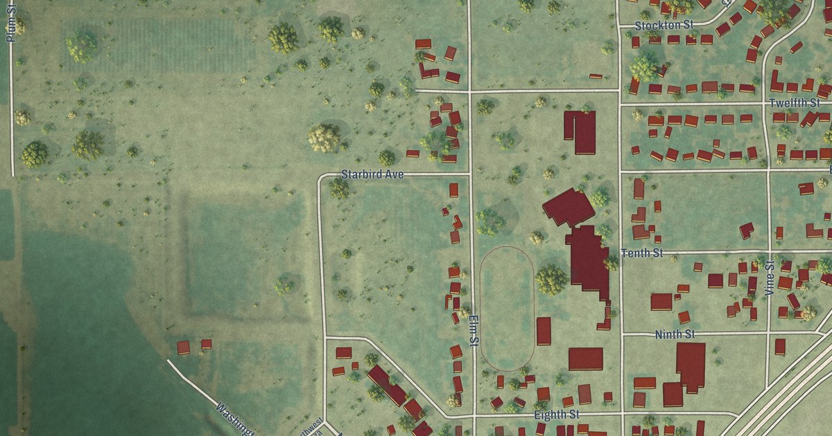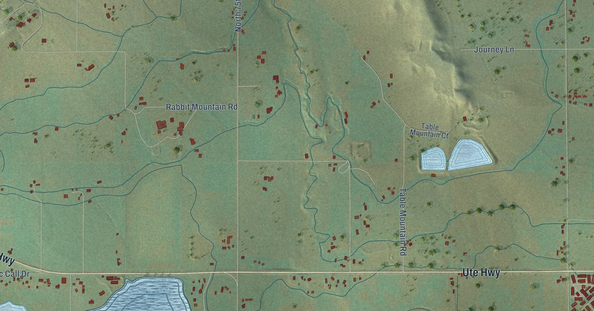
This beautifully detailed map of Hygiene, Colorado was created in 2026 using aerial imagery combined with modern topographical, census, street and landmark data. It’s a one-of-a-kind view of Hygiene that combines accurate data with a vintage aesthetic. The map shows every building in its true location, many of the roads carry their names, and the shaded topographic relief shows the shape of the land.
Explore an aerial view of Hygiene, Colorado
On the map you’ll find Agricultural Preserve, along with Ute Road, Ute Highway, Lakeshore Drive, 22nd Drive, 24th Avenue, Airport Road, North 85th Street, North 75th Street, Hygiene Road, North 95th Street, Woodland Road, and more. If you look closely you can even find your house accurately drawn in its correct location. Zoom in on the preview to look for yours.
Did You Know?
From Internet Archive: "Bond came to Boulder and Barclay settled on a farm near where Hygiene is now located."
Hygiene is a community in Boulder County.
Take a closer look at the Hygiene map
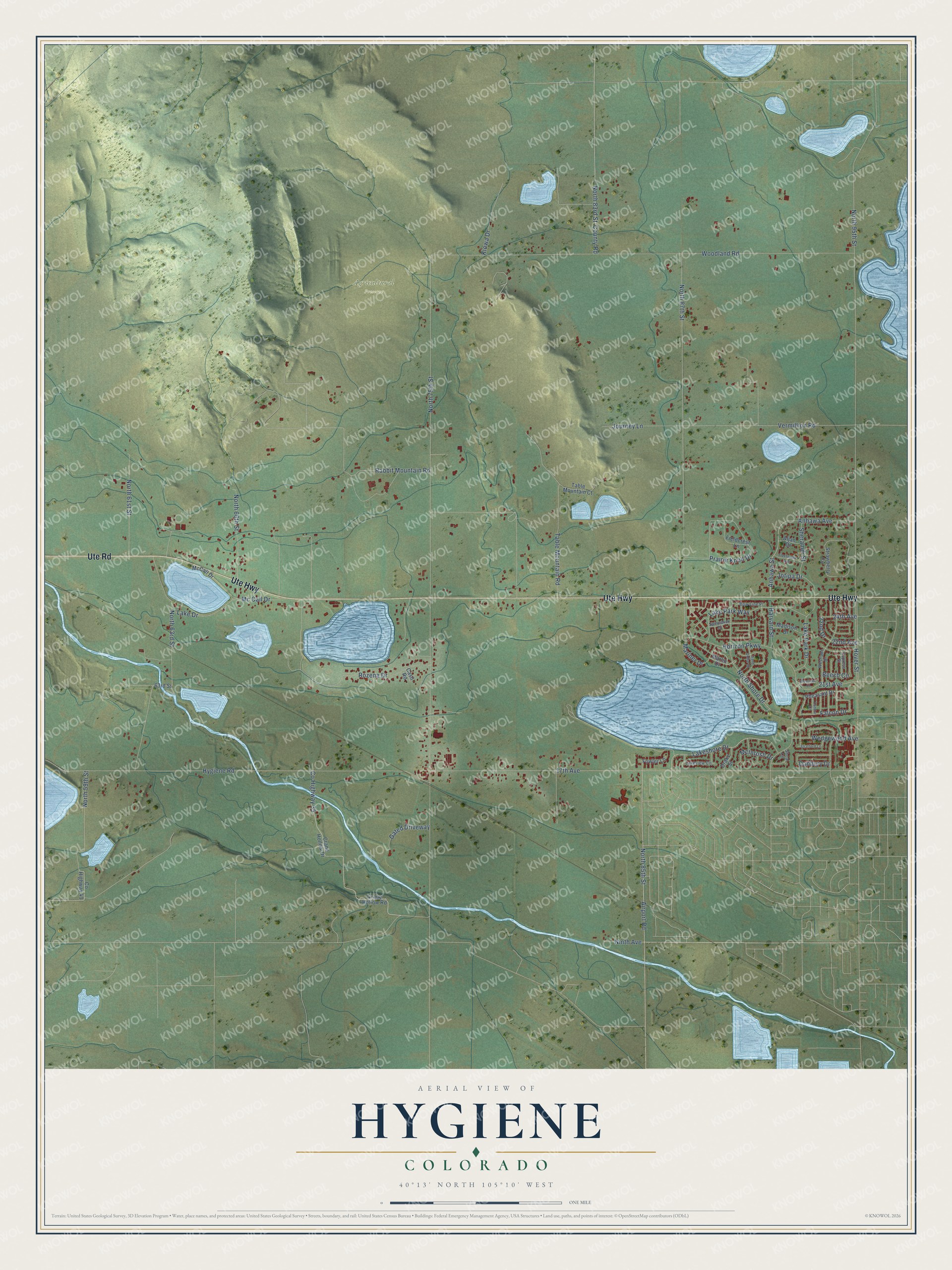
Names on this map
These names are printed on this map.
Places: Agricultural Preserve.
Streets and roads: Ute Road, Ute Highway, Lakeshore Drive, 22nd Drive, 24th Avenue, Airport Road, North 85th Street, North 75th Street, Hygiene Road, North 95th Street, Woodland Road, North 87th Street.
More street names, A to Z
17th Avenue, 21st Avenue, 22nd Avenue, 63rd Street, Aljan Drive, Anhawa Avenue, Anhawa Street, Beech Circle, Bow Line Place, Cash Road, Condor Court, County Highway 35, County Highway 41, County Road, Crane Hollow Drive, Crane Hollow Road, Cypress Street, Danbury Drive, Drake Street, Falcon Drive, Fieldcrest Lane, Fleetwood Avenue, Fowler Lane, Gated Driveway, Harvard Street, Horizon Parkway, Hover Street, Jotipa Drive, Journey Lane, Kiowa Drive, Lake Drive, Lake Park Drive, Lake Park Way, Lakeview Circle, Madison Drive, Mariner Drive, Marlin Drive, Mc Call Drive, McCall Drive, McIntosh Drive, Ninth Avenue, North 59th Street, North 61st Street, North 63rd Street, North 66th Street, North 83rd Street, North Shore Drive, Pheasant Drive, Prairie Knoll Drive, Rabbit Mountain Road, Rozena Drive, Sand Dollar Drive, Sheramdi Street, Shoal Circle, Spinnaker Drive, Stratford Lane, Strawberry Circle, Table Mountain Court, Table Mountain Road, Vermillion Road, Wedgewood Avenue, Westlake Court, Westlake Drive.
See it on a wall
The Hygiene map as a framed print. Swipe for more.


This beautifully detailed map of Hygiene makes an attractive addition to your office, library, or den, and it can even be used to teach children the geography and history of the area. It also makes a great gift for anyone who grew up in Hygiene or moved away. When you’re done exploring, click here to get your copy of the Hygiene map.