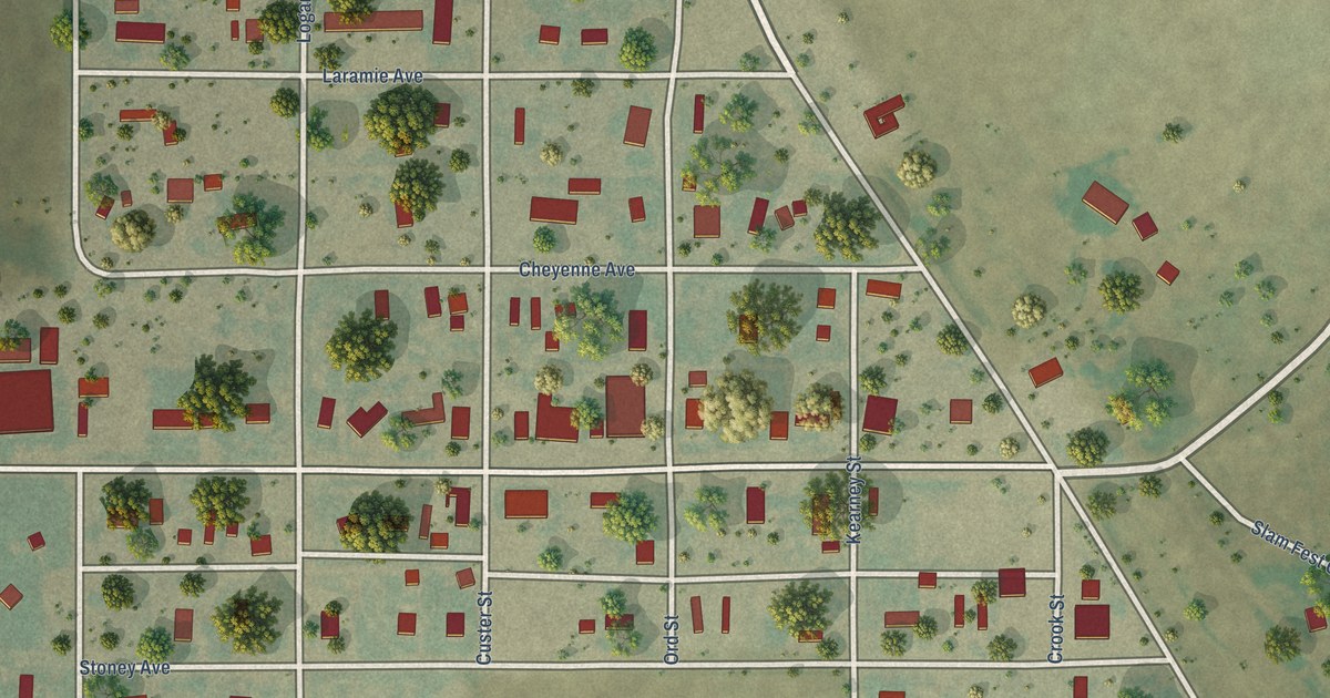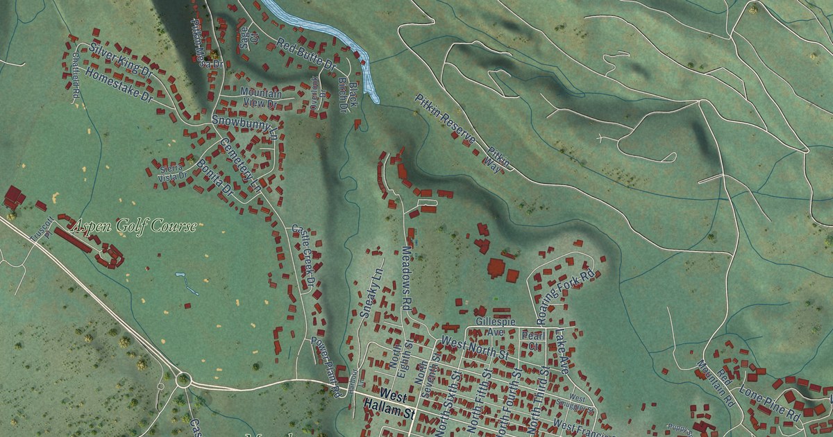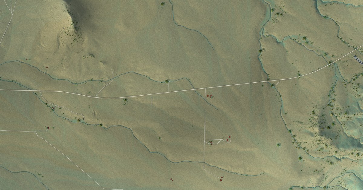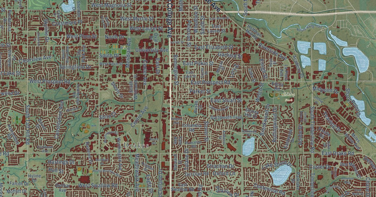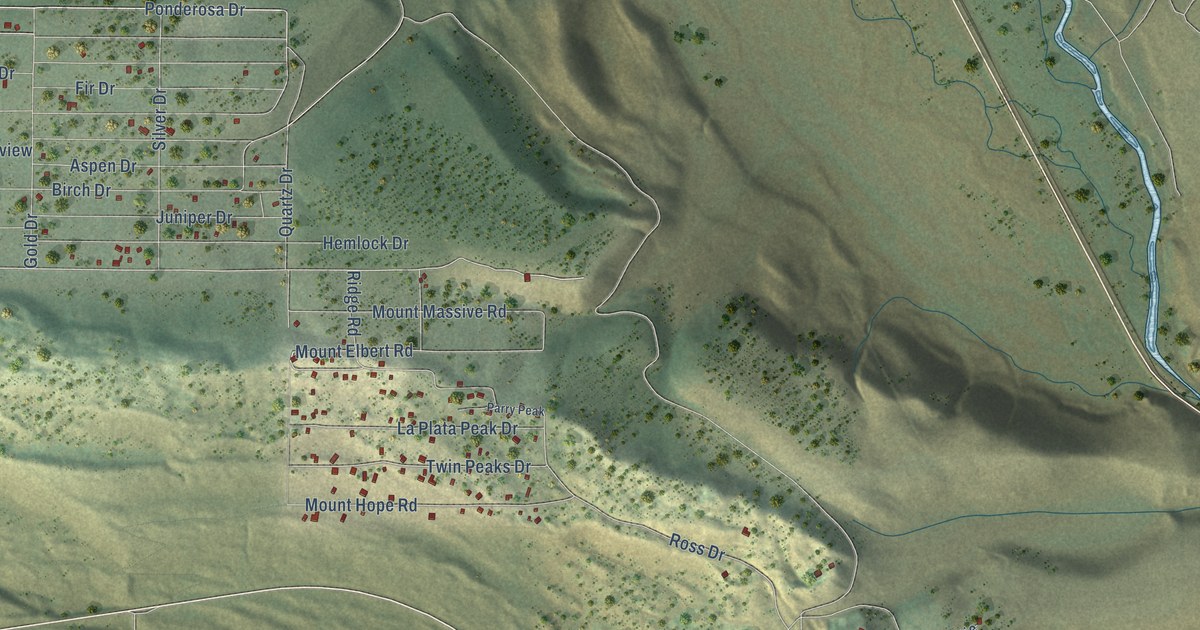
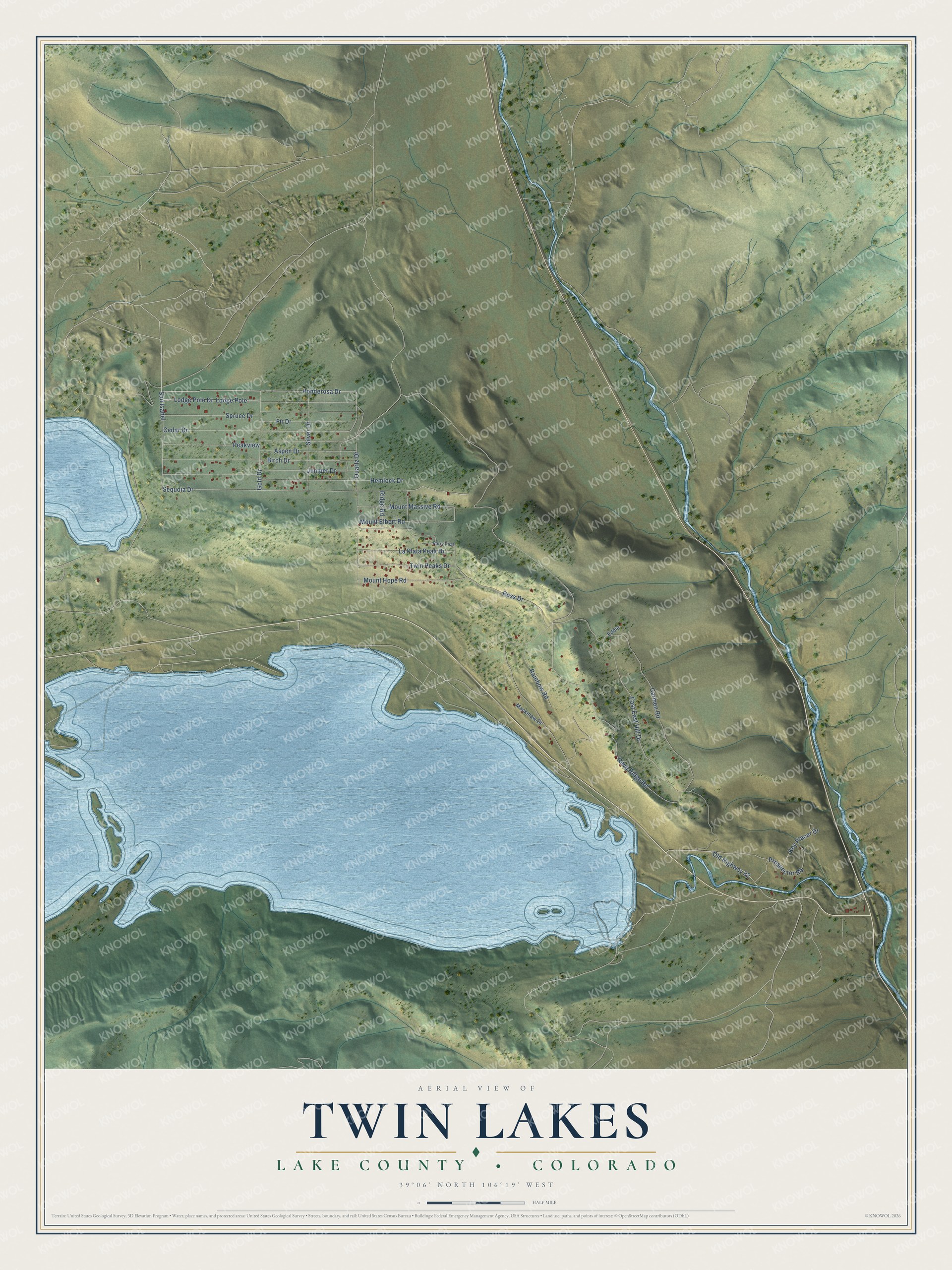
This beautifully detailed map of Twin Lakes, Colorado was created in 2026 using aerial imagery combined with modern topographical, census, street and landmark data. It's a modern aerial view of Twin Lakes in Lake County, Colorado, that combines modern data with a vintage aesthetic. The roads feature printed names, and if you look closely you can find your exact house accurately shown in its correct location.
Explore an aerial view of Twin Lakes, Colorado
On this map you'll find Ponderosa Drive, Quartz Drive, San Isabel, Mount Elbert Road, Sequoia Drive, Twin Peaks Drive, Cedar Drive, Reva Ridge Road, Carmen Road, Birch Drive, Lodge Pole Drive, Juniper Drive, and more. Each red shape is a building, so zoom in on the preview and look for yours.
Here is a piece of Twin Lakes history. Placer miners first named the town of Twin Lakes Dayton, and in 1866 it became the Lake County seat. The seat moved to Granite in 1868, but by the early 1880s Twin Lakes had 250 people, a post office, two general stores, an assay office and several hotels on the freight road to Aspen. Artists and writers such as Helen Hunt Jackson and Thomas Moran came back to Twin Lakes year after year. That's from the National Register of Historic Places.
Twin Lakes is a community in Lake County. The Census Bureau counted 204 people here in 2020.
Take a closer look at the Twin Lakes map
Names on this map
These names are printed on this map.
Streets and roads: Ponderosa Drive, Quartz Drive, San Isabel, Mount Elbert Road, Sequoia Drive, Twin Peaks Drive, Cedar Drive, Reva Ridge Road, East East Hill Drive, Carmen Road, Birch Drive, Lodge Pole Drive.
More street names, A to Z
Aspen Drive, Eddie, Fir Drive, Gold Drive, Hemlock Drive, Juniper Drive, Key Placer Drive, La Plata Peak Drive, Lodge Pole, Mackinaw Drive, Mount Hope Road, Mount Massive Road, Old Highway 82, Parry Peak, Peakview, Prospector Road, Rainbow Road, Ridge Road, Ross Drive, Silver Drive, Spruce Drive.
See it on a wall
The Twin Lakes, Lake County map as a framed print. Swipe for more.


Created by KNOWOL in 2026. The buildings are small red shapes, the roads carry their printed names, and shaded relief shows the shape of the land. The title panel reads "AERIAL VIEW OF TWIN LAKES, LAKE COUNTY • COLORADO" with 39°06' NORTH 106°19' WEST.
It suits a den, a classroom or a front hall, and it makes a gift for anyone with Twin Lakes roots. Open the preview and find the block you know. See sizes and frames for the Twin Lakes, Lake County map.