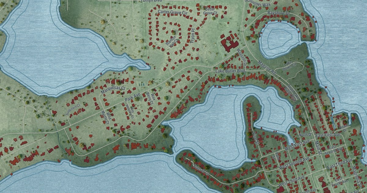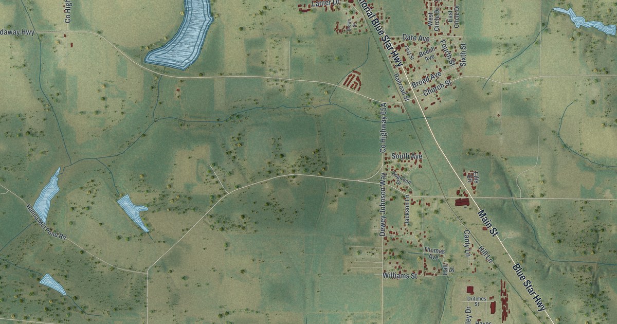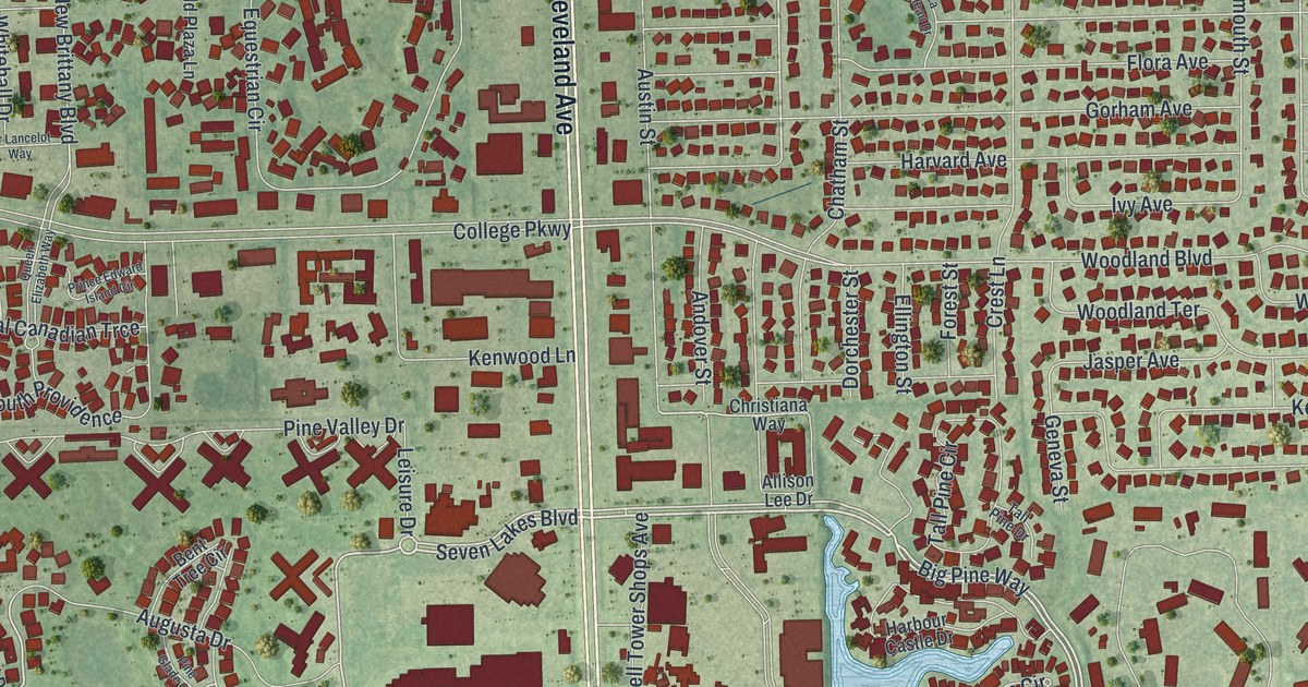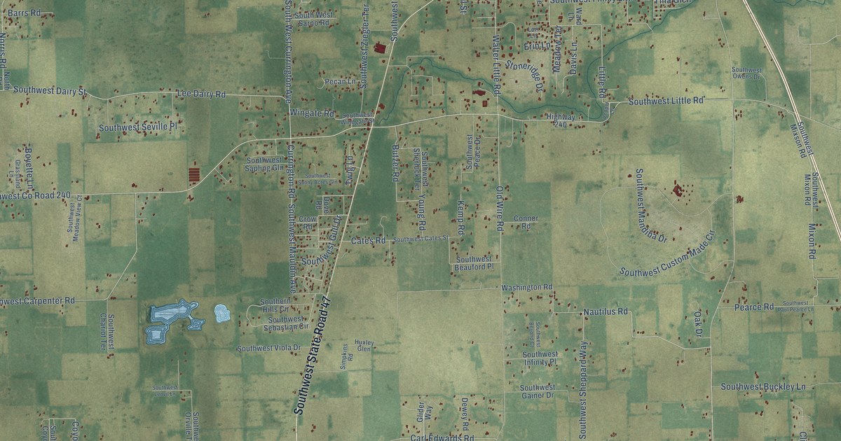
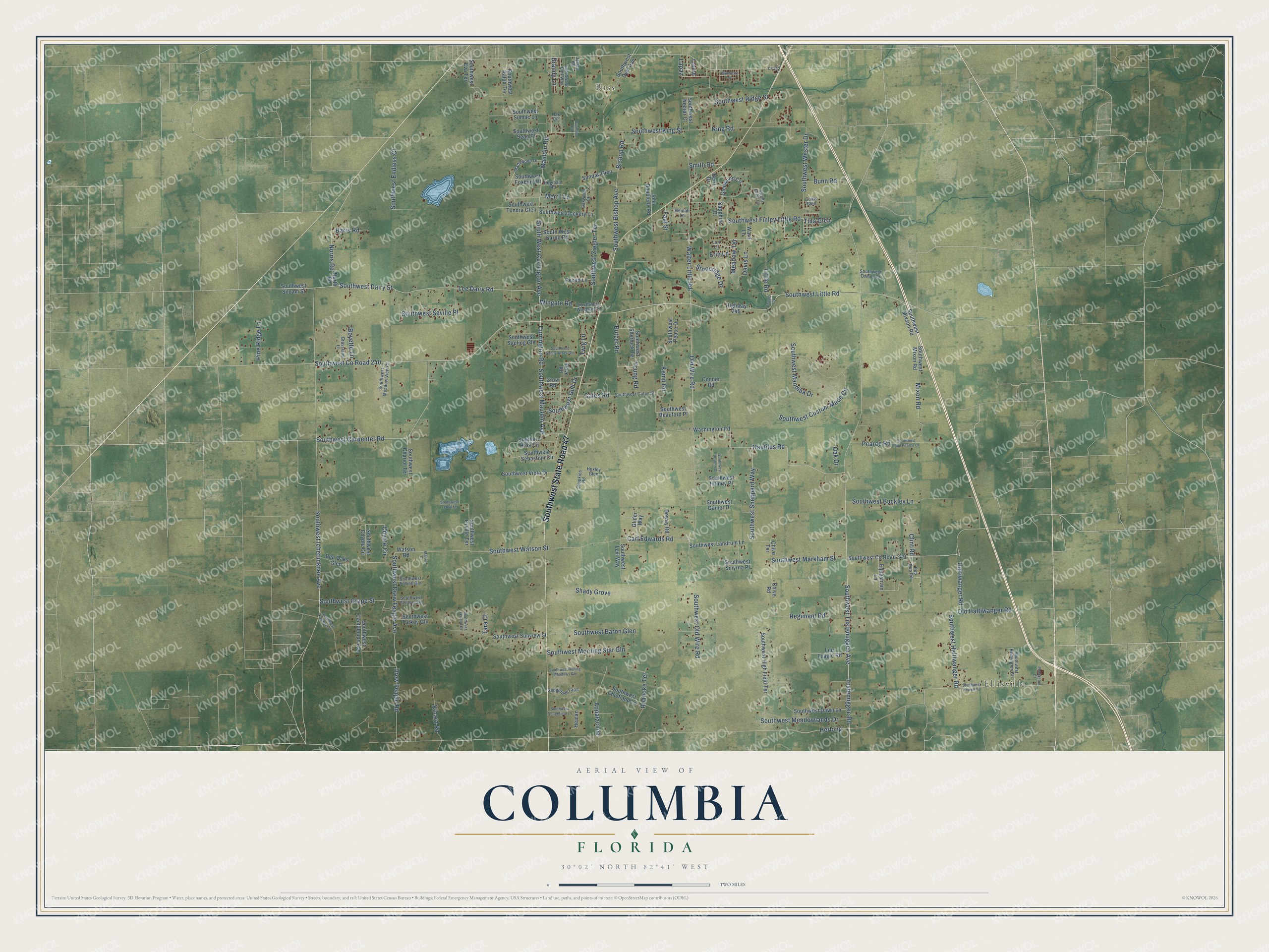
This beautifully detailed map of Columbia, Florida was created in 2026 using aerial imagery combined with modern topographical, census, street and landmark data. It’s a one-of-a-kind view of Columbia that combines accurate data with a vintage aesthetic. The map shows every building in its true location, many of the roads carry their names, and the shaded topographic relief shows the shape of the land.
Explore an aerial view of Columbia, Florida
On the map you’ll find Ellisville, Bass, Southwest State Road 47, and Southwest Co Road 240, along with Lee Dairy Road, Little Road, Southwest Carpenter Road, Southwest Haltiwanger Road, Walter Little Road, Haltiwanger Road, Mauldin Road, Currington Road, and more. If you look closely you can even find your house accurately drawn in its correct location. Zoom in on the preview to look for yours.
Did You Know?
From Internet Archive: "The seat of justice is established at Newnansville, now in Columbia, until another be selected, south of the Santaffe, and a little village is rising around it."
Columbia is a community in Columbia County.
Take a closer look at the Columbia map
Names on this map
These names are printed on this map.
Places: Ellisville and Bass.
Streets and roads: Southwest State Road 47, Southwest County Road 240, Lee Dairy Road, Little Road, Southwest Carpenter Road, Southwest Haltiwanger Road, Walter Little Road, Haltiwanger Road, Mauldin Road, Currington Road, Southwest Tustenuggee Avenue, Nautilus Road.
More street names, A to Z
Appalachee, Barrs Road, Ben Oaks Glen, Benz Drive, Beulah Lane, Bishop Road, Blueberry Street, Boyette Lane, Brandy Lane, Bunn Road, Butzer Road, Carl Edwards Road, Cates Road, Chive Road, Chive Terrace, Clint Road, Coats Glen, Connor Road, Coyote Circle, Cr-242, Crow Road, Curinton Road, Davis Lane, Dewey Road, Dove Road, Drew Feagle Road, Equestrain Lane, Erin Lane, Faul Street, Glenwood Circle, Glider Way, Grassland Lane, Healan, Herlong, Highway 240, Huxley Glen, James Road, John Doublerly Road, Kemp Road, Kinard Road, King Road, Lapaz, Laverd, Leo Feagle Road, Lori Lane, Madewood Drive, Mahan Court, Meadow Terrace, Merril Lane, Mixon Road, Norris Road, North Road, Oak Circle, Oak Drive, Oakwood Court, Old Haltiwanger Road, Old Wire Road, Pearce Road, Pecan Lane, Pemington Court, Pepper Lane, Pine Ridge Lane, Pop Pop Road, Regiment Road, Reginald Road, Roanoke Terrace, Sapphire Court, Sedgefield Farm, Shady Grove, Simpkins Road, Smith Road, Southern Hills Circle, Southwest Baron Glen, Southwest Beauford Place, Southwest Beyond Court, Southwest Bishop Avenue, Southwest Buckley Lane, Southwest Cantaloupe Avenue, Southwest Cates Street, Southwest Chariot Terrace, Southwest Chiefland Lane, Southwest County Road 349, Southwest Coyote Circle, South West Currington Avenue, Southwest Custom Made Circle, Southwest Dairy Street, Southwest Dawn Lane, Southwest Dockery Lane, Southwest Drew Feagle Avenue, Southwest Dyal Avenue, Southwest Earl Way, Southwest Endless Court, Southwest Eva Terrace, Southwest Faulkner Drive, Southwest Federal Court, Southwest Fenton Gln, Southwest Finley Little Road, Southwest Foxboro Place, Southwest Gainer Drive, Southwest Grape Street, Southwest Gull Drive, Southwest High Field Terrace, Southwest Howell Road, Southwest Ichetucknee Avenue, Southwest Infinity Place, Southwest King Street, Southwest Landrum Lane, Southwest Lenvil Lane, Southwest Levi Way, Southwest Little Road, Southwest Mandiba Drive, Southwest Markham Street, Southwest Mauldin Avenue, Southwest Meadowlands Drive, Southwest Meadow View Court, Southwest Mixon Road, Southwest Mixson Road, Southwest Morning Star Gln, Southwest Nectar Court, Southwest Old Wire Road, Southwest Orville Terrace, Southwest Owens Drive, Southwest Paul Pearce Lane, Southwest Peace Drive, Southwest Powell Gln, Southwest Ralph Terrace, Southwest Remington Court, Southwest Ridge Street, Southwest Rolling Meadows Gln, Southwest Sapling Gln, South West Sarno Road, Southwest Sean Place, Southwest Sebastian Circle, Southwest Sedgefield Lane, Southwest Seville Place, Southwest Sheppard Way, Southwest Sherlock Terrace, Southwest Siloam Street, Southwest Smyrna Place, Southwest Sumac Lane, Southwest Sunny Acres Gln, Southwest Sunview Street, Southwest Tundra Glen, Southwest Turkey Gln, Southwest Viola Drive, Southwest Watson Street, Southwest Wester Drive, Southwest Windgate Street, Southwest Ziegler Terrace, Stoneridge Drive, Sunday Glen, Sweet Briar Lane, Tara Court, Tina Glen, Tustenuggee Road, Twig Lane, Ward Lane, Washington Road, Watson Road, Wingate Road, Young Road.
See it on a wall
The Columbia map as a framed print. Swipe for more.


This beautifully detailed map of Columbia makes an attractive addition to your office, library, or den, and it can even be used to teach children the geography and history of the area. It also makes a great gift for someone who left Columbia and still calls it home. When you’re done exploring, click here to get your copy of the Columbia map.