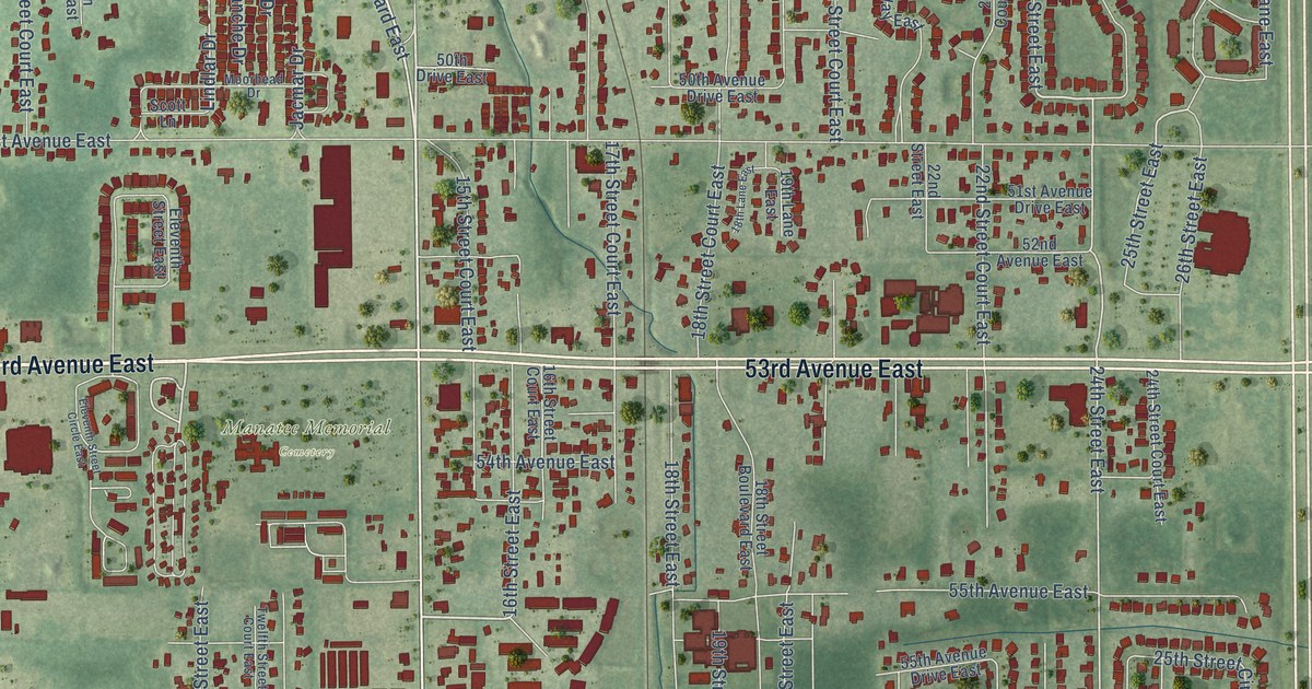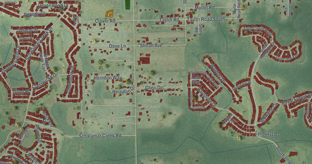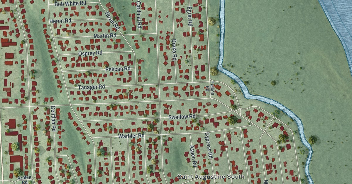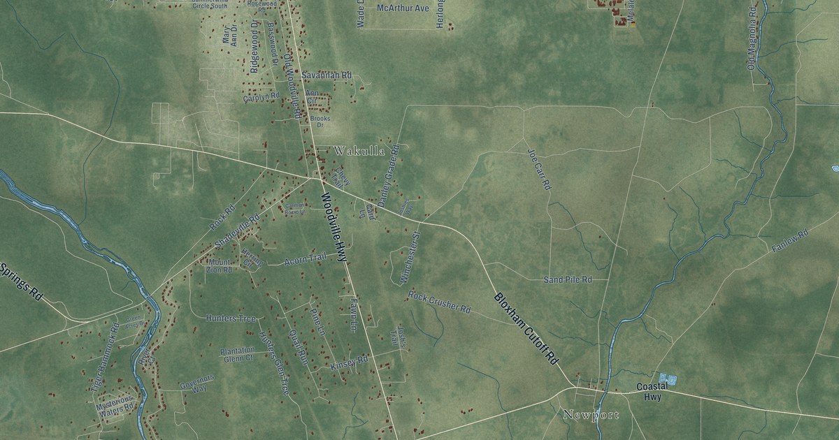
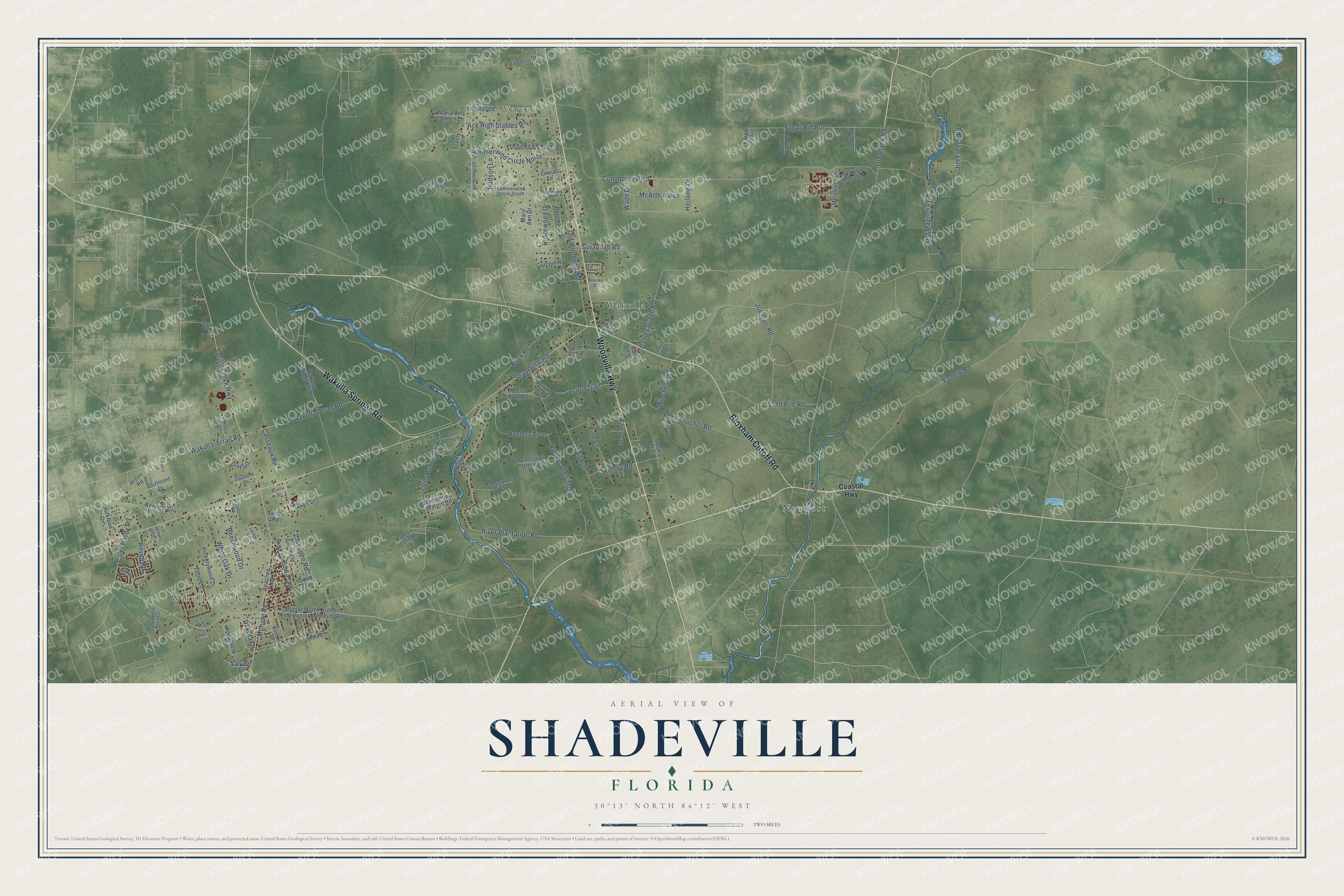
This beautifully detailed map of Shadeville, Florida was created in 2026 using aerial imagery combined with modern topographical, census, street and landmark data. It’s a one-of-a-kind view of Shadeville that combines accurate data with a vintage aesthetic. The map shows every building in its true location, many of the roads carry their names, and the shaded topographic relief shows the shape of the land.
Explore an aerial view of Shadeville, Florida
On the map you’ll find Wakulla Gardens, Vereen, Newport, Wakulla, and Hunters Trce, along with Woodville Highway, Bloxham Cutoff Road, Wakulla Springs Road, Shadeville Road, Wakulla-Arran Road, Cajer Posey Road, and more. If you look closely you can even find your house accurately drawn in its correct location. Zoom in on the preview to look for yours.
Take a closer look at the Shadeville map
Names on this map
These names are printed on this map.
Places: Wakulla Gardens, Vereen, Newport and Wakulla.
Streets and roads: Woodville Highway, Bloxham Cutoff Road, Wakulla Springs Road, Shadeville Road, Wakulla-Arran Road, Wakulla Arran Road, Cajer Posey Road, Hunters Trce, Fanlew Road, Danley Grade Road, Spring Creek Highway, Old Plank Road.
More street names, A to Z
Ace High Stables Road, Acorn Trail, Ann Circle, Apachee Road, Appaloosa Road, Arden Road, Atkinson Road, Basswood Drive, Beechwood Drive, Bert Thomas Lane, Briar Trail, Broken Bow Trail, Brooks Drive, Card Lane, Carmen Rocio Lane, Carolyn Road, Casseaux Road, Cayuse Drive, Chevy Trail, Chicopee Road, Coastal Highway, Commerce Boulevard, County Landfill Road, Dakota Drive, Dixie Drive, Doctor Martin Luther King Junior Memorial Road, Dogwood Forest Road, Dove Tree Drive, Fargo Trail, Fawn Lane, Frosty Drive, Gavin Road, Gays Drive, Governors Way, Green Acres Drive, Herlong Drive, Herring Circle, Hickorywood Drive, Hi Lo Way, Honor Drive, Hudson Lane, Hunters Glen Trce, James Road, Jensen Lane, Jim French Road, Joe Carr Road, Josh's Trail, Joshies Way, Kenneth Circle, Kinsey Road, Kirkland Drive, Klickitat Drive, Laural Lane, Leslie Circle, Maria del Carmen Lane, Mary Ann Drive, McArthur Avenue, Melaleuca Drive, Mohave Road, Mount Zion Road, Mysterious Waters Road, Ohana Lane, Old Magnolia Road, Old Woodville Road, Panton Leslie Lane, Pimlico Drive, Pine Lane, Plantation Glenn Court, Quail Run, Renegade Road, Revell Road, Ridgewood Drive, River Court, River Plantation Road, Rock Crusher Road, Rock Road, Rosewood Road, Sand Pile Road, Savannah Road, Sierra Lane, Sioux Trail, Southern Drive, Spanish Moss Lane, Steele Court, Stillmont Drive, Sugar Hill Run, Summer Brooke Lane, Summerwind Circle North, Summerwind Circle South, Summerwind Circle West, Sunbeam Drive, Sunset Lane, Thomas Drive, Tiger Hammock Road, Tillis Lane, Wade Drive, Wakulla Springs Cutoff, White Oak Drive, Winchester Street, Yupon Drive.
See it on a wall
The Shadeville map as a framed print. Swipe for more.


This beautifully detailed map of Shadeville makes an attractive addition to your office, library, or den, and it can even be used to teach children the geography and history of the area. It also makes a great gift for someone who left Shadeville and still calls it home. When you’re done exploring, click here to get your copy of the Shadeville map.