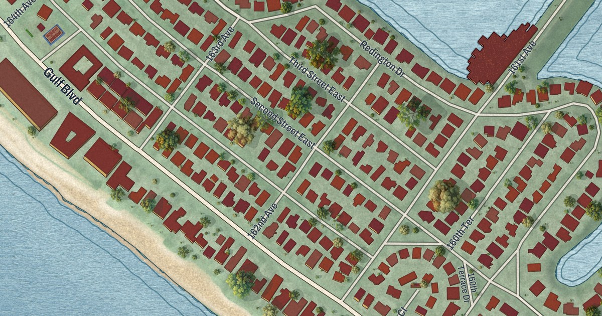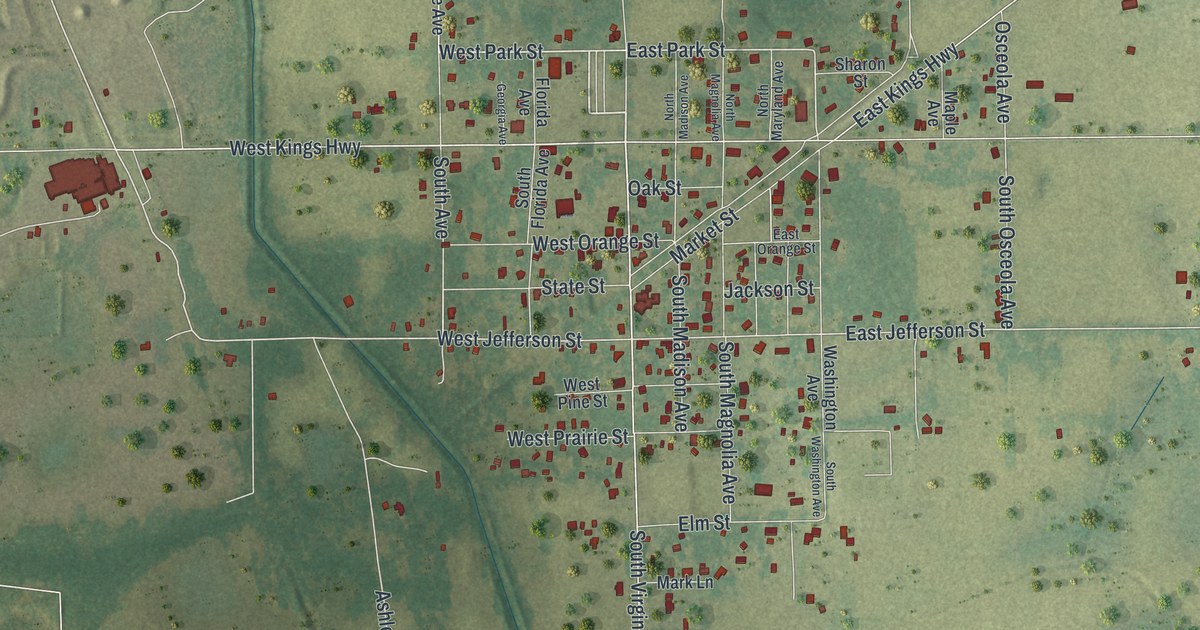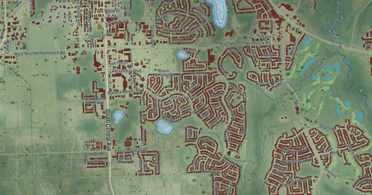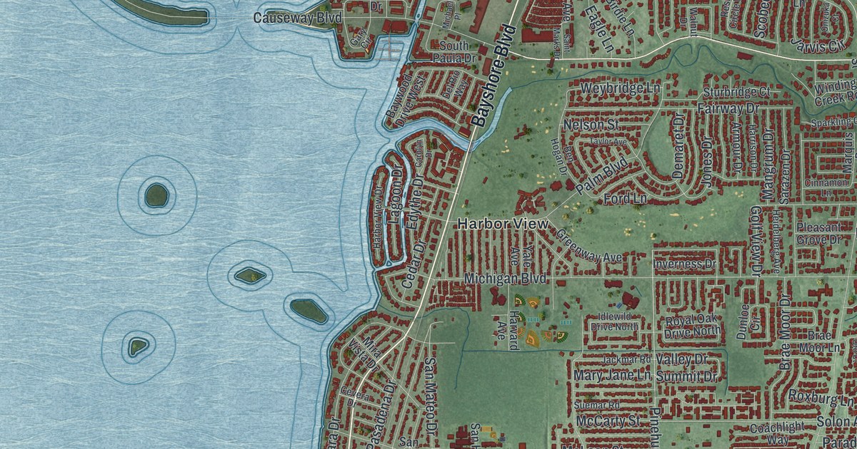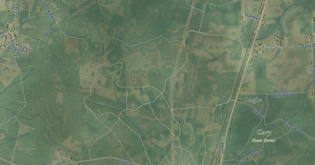
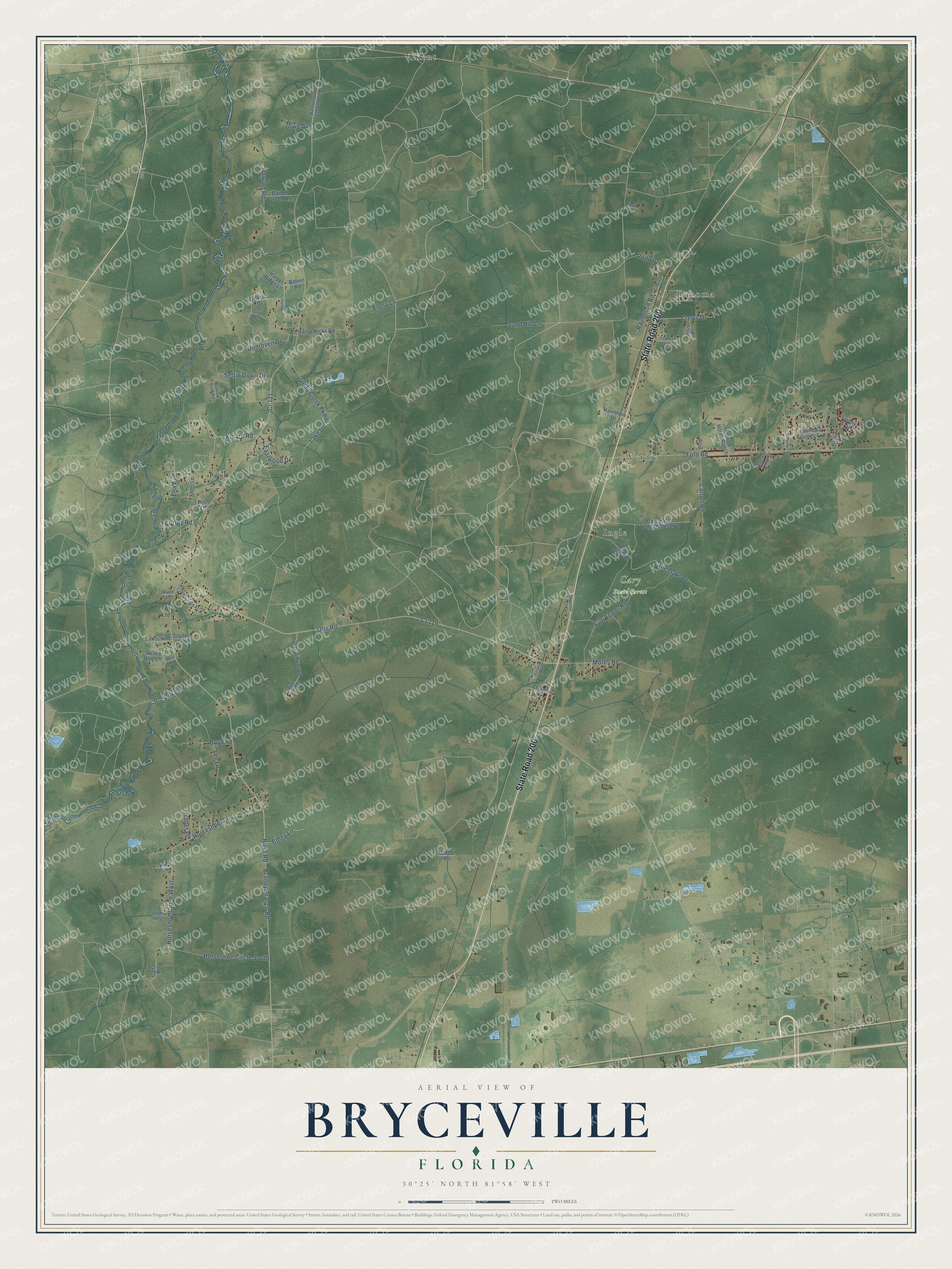
This beautifully detailed map of Bryceville, Florida was created in 2026 using aerial imagery combined with modern topographical, census, street and landmark data. It’s a one-of-a-kind view of Bryceville that combines accurate data with a vintage aesthetic. The map shows every building in its true location, many of the roads carry their names, and the shaded topographic relief shows the shape of the land.
Explore an aerial view of Bryceville, Florida
On the map you’ll find Cary State Forest, Kent, Dahoma, Verdie, and Ingle, along with State Road 200, Big Oaks Drive, Rollo Drive, Otis Road, Horseshoe Circle West, Brandy Branch Road, Motes Road, and more. If you look closely you can even find your house accurately drawn in its correct location. Zoom in on the preview to look for yours.
Did You Know?
From Internet Archive: "This post office has changed its name to Bryceville, which see for the proper information."
Bryceville is a community in Nassau County.
Take a closer look at the Bryceville map
Names on this map
These names are printed on this map.
Places: Cary State Forest, Kent, Dahoma, Verdie and Ingle.
Streets and roads: State Road 200, Big Oaks Drive, Rollo Drive, Otis Road, Horseshoe Circle West, Brandy Branch Road, Motes Road, River Road, Ford Road, Sand Hill Lane, Fire Tower Road, Quail Creek Parkway.
More street names, A to Z
Baldwin and Saint George Road, Barber Green Road, Barn Owl Drive, Batey Lane, Batten Road, Big Oaks Road, Boyd, Boyd Road, Buckhead Trail, Bullock Bluff Road, Canal Road, Carey State Forest Preserve, Carroll Road, Church Drive, Clyde Lane, Cortez Road, Countryside Acres, Cr 119, Cr 121, Crews Drive, Cutter Court, David Hunt Road, Deacon Drive, Dunroven Drive, Eastwood Drive, Ella Avenue, Ellery Lane, Florida Horse Ranch, Giddy Up Lane, Halter Place, Hambone Drive, Hamp Hicks Road, Harper Ridge Lane, Horseshoe Circle, Horseshoe Circle South, Hoss Place, Howard Road, Hunt Road, Imperial Court, Kinard Road, Lake Drive, Lee Lane, Limousine Lane, Middle Road, Moeller Place, Old Drew Road, Palto Place, Peace Lily Lane, Pine Wind Lane, Railroad Road, Raulerson Road, River Farm, Rowe Avenue, Settin Down Drive, Settlers Ridge Drive, Sheri Lane, Stokes Road, Sunowa Springs Trail, Thomas Trails Road, Thornhill Place, Trophy Trail, Vineyard Drive, Wills Lane.
See it on a wall
The Bryceville map as a framed print. Swipe for more.


This beautifully detailed map of Bryceville makes an attractive addition to your office, library, or den, and it can even be used to teach children the geography and history of the area. It also makes a great gift for someone who left Bryceville and still calls it home. When you’re done exploring, click here to get your copy of the Bryceville map.