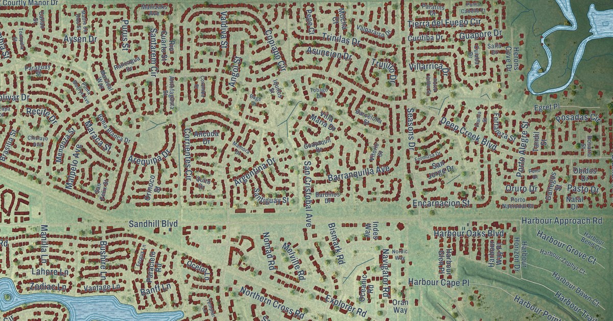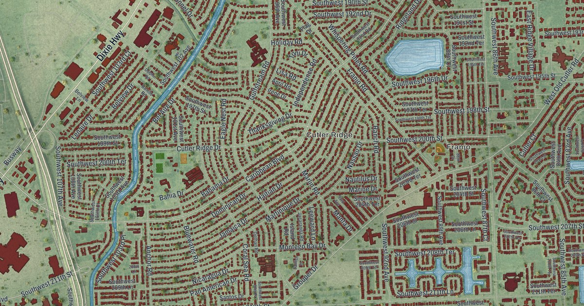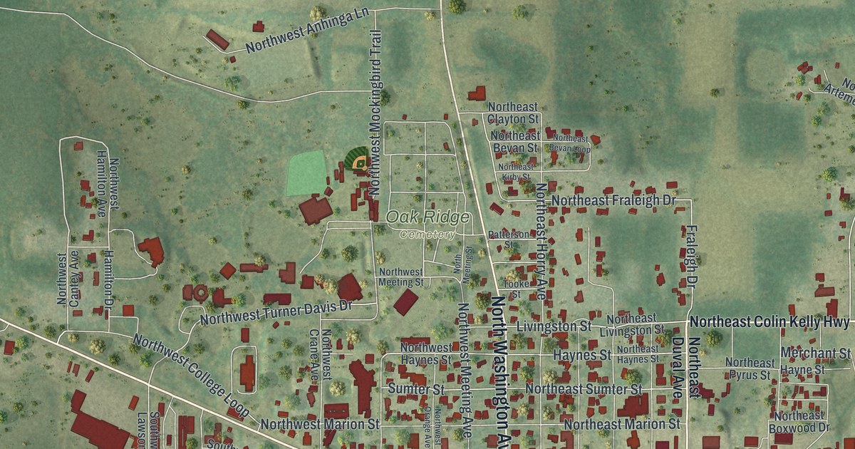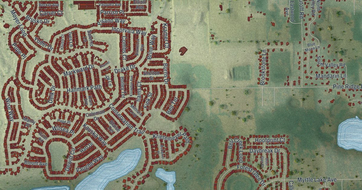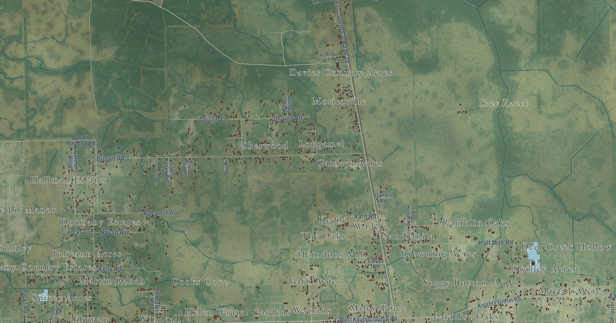
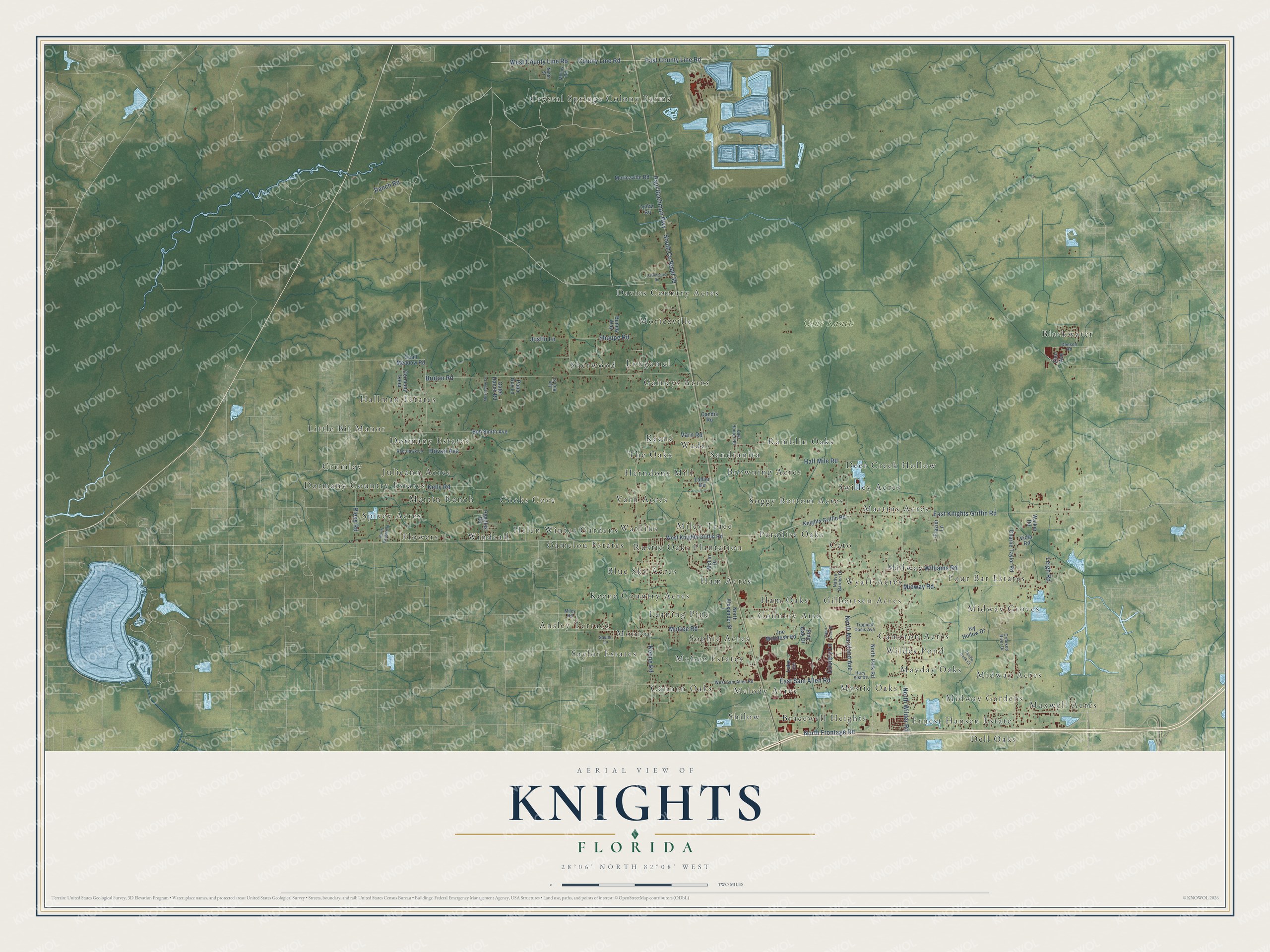
This beautifully detailed map of Knights, Florida was created in 2026 using aerial imagery combined with modern topographical, census, street and landmark data. It’s a one-of-a-kind view of Knights that combines accurate data with a vintage aesthetic. The map shows every building in its true location, many of the roads carry their names, and the shaded topographic relief shows the shape of the land.
Explore an aerial view of Knights, Florida
On the map you’ll find Cone Ranch, Spivey Acres, Ernest Hansen Estate, The Oaks, Cannen Oaks, Crystal Springs Colony Farms, Blackwater, Martins Acres, Moriczville, Helen Winter Gardens, Ham Oaks, Hallman Estates, and more. If you look closely you can even find your house accurately drawn in its correct location. Zoom in on the preview to look for yours.
Did You Know?
From Internet Archive: "Wilson follows the tradition of his family in adhering to the Episcopal church, and fraternally he is connected with the Knights of Pythias and the Benevolent Protective Order of Elks."
Knights is a community in Hillsborough County.
Take a closer look at the Knights map
Names on this map
These names are printed on this map.
Places: Cone Ranch, Spivey Acres, Ernest Hansen Estate, The Oaks, Cannen Oaks, Crystal Springs Colony Farms, Blackwater, Martins Acres, Moriczville, Helen Winter Gardens, Ham Oaks, Hallman Estates, Bracewell Heights, Midway Groves, Browning Acres, Wyatt Acres, Maxwell Acres, Sherwood, Ansley Terrace, Leaning Pine, Windcall, Rustic Oaks Plantation, Wildes Pond, Julieann Acres, Gaineys Acres, Paradise Oaks, Four Bar Estates, Deer Creek Hollow, Monroe, Midway Acres, Varn Acres, Herndons Mill, Blue Sky Acres, Shilow, Dormany Estates, Gamelou Estates, Mystic Oaks, Cato, Miley Trace, Melody Acres, Ham Acres, Davies Country Acres, Soggy Bottom Acres, Keene Country Acres, Dormany Country Estates, Sophie Acres, Watkins, Midway Gardens, McGee Estates, Ramblin Oaks, Midway, Sandranita, Martin Ranch, Keene, Little Bit Manor, Flowers, Saylor Estates, Lougamel, Cooks Cove, Dell Oaks, Cameron Acres, Country Aire, Mayday Oaks, Gilbertsen Acres, Swilley Acres, Crumley and Wade.
Streets and roads: East Knights Griffin Road, East County Line Road, Paul Buchman Highway, South County Road 39, North Frontage Road, Bruton Road, County Line Road, North Wilder Road, McGee Road, Williams Road, West County Line Road, Varn Road.
More street names, A to Z
Bob Smith Avenue, Bumpy Way, Candis Road, Capri Coast Drive, Charlie Taylor Road, Country Lane, Crooked River Drive, Deeson Road, Dormany Loop, East Hunter Road, East Sam Allen Road, Frazier Lane, Gater Ranch Road, Half Mile Road, Hazy Sea Drive, Hovan Avenue, Ivy Hollow Drive, Jay Bird Street, Joe McIntosh Road, Justin Lane, Keene Road, Kelly Road, Knights Griffin Road, Lake Circle, Lanier Road, Leigh Road, McLin Drive, Melms Road, Midway Road, Miley Road, Moriczville Road, Muscadine Lane, Native Garden Drive, Ninth Street, North Alexander Street, North Maryland Avenue, North Park Road, North Vaughn Road, Papa Guy Lane, Patrinostro Road, Peeples Road, Pine Oak Drive, Pless Road, Quail Meadow Road, Ranch Road, Red Hawk Lane, Saylor Lane, Shoupe Road, Thistle Bank Court, Tollar Road, Tropical Oasis Avenue, Viola Road, Walker Road, West Knights Griffin Road, West Sam Allen Road, Zion Avenue.
See it on a wall
The Knights map as a framed print. Swipe for more.


This beautifully detailed map of Knights makes an attractive addition to your office, library, or den, and it can even be used to teach children the geography and history of the area. It also makes a great gift for someone who left Knights and still calls it home. When you’re done exploring, click here to get your copy of the Knights map.