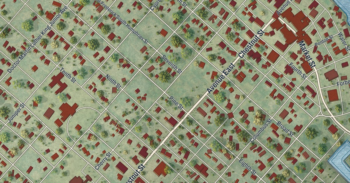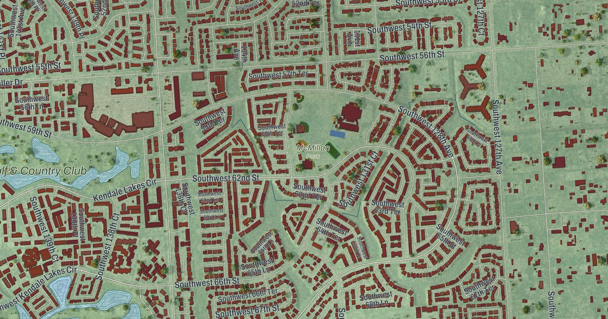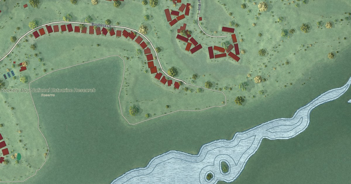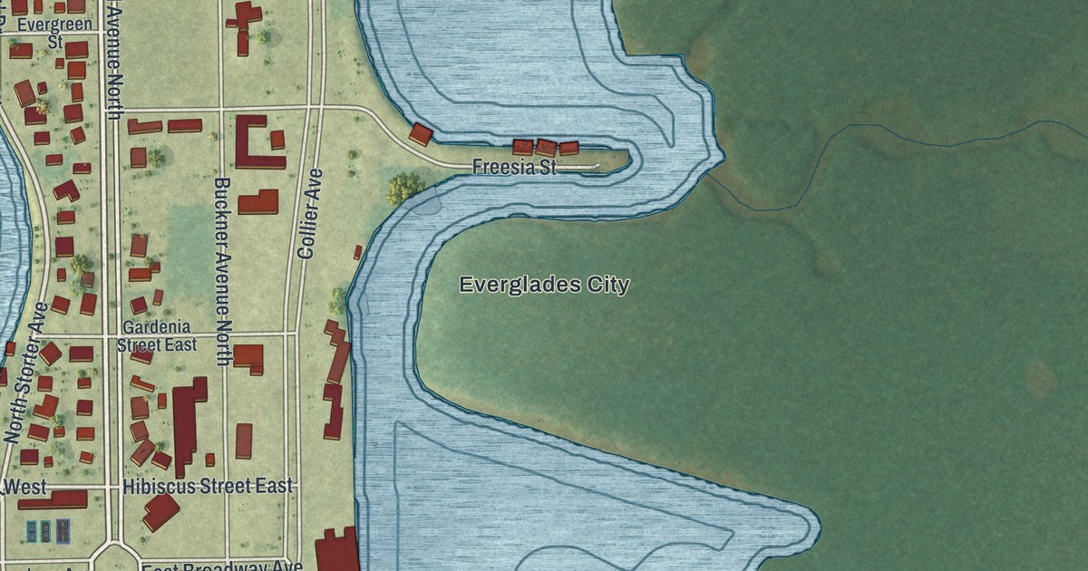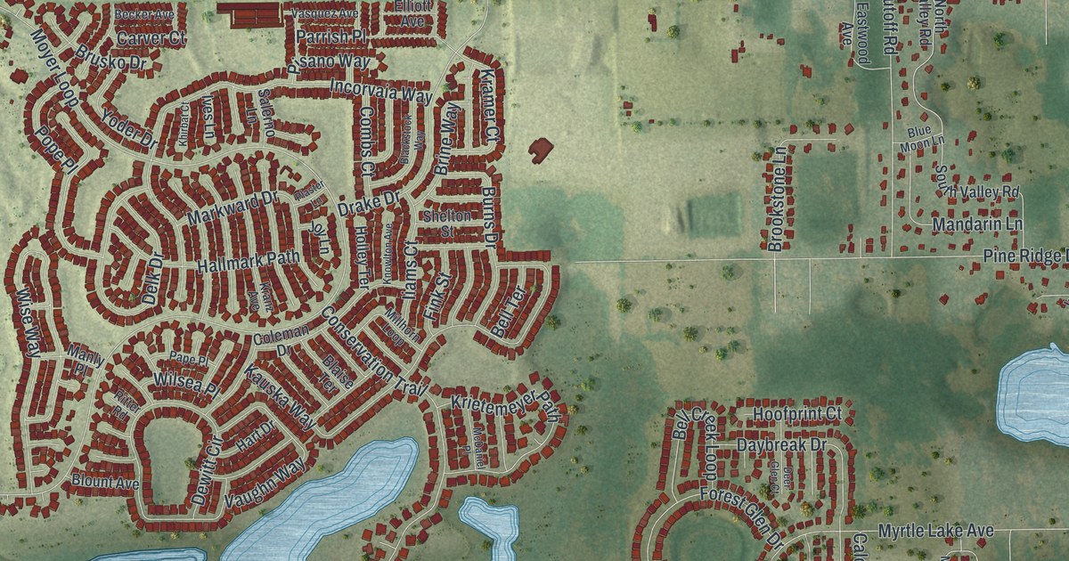
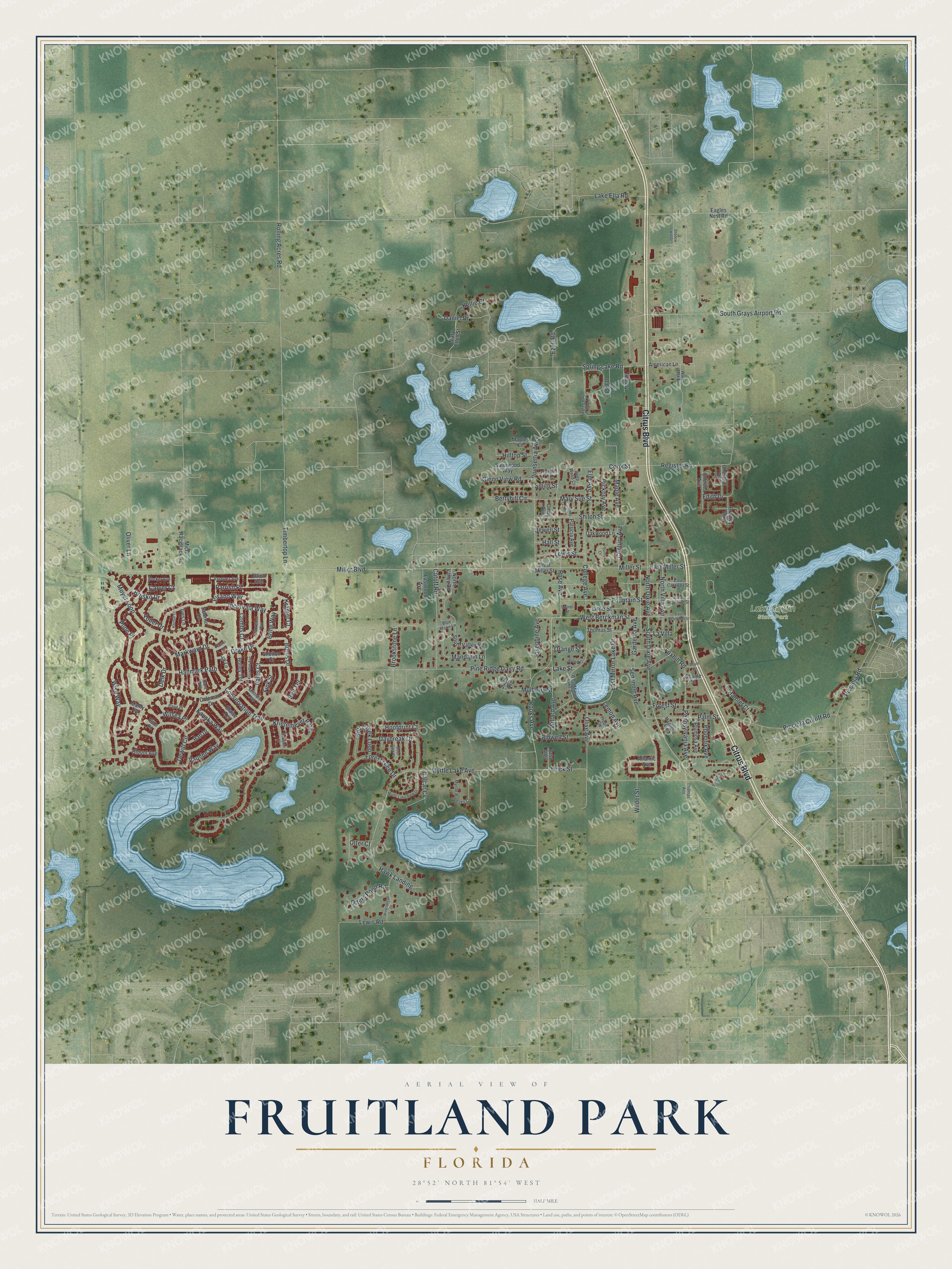
This beautifully detailed map of Fruitland Park, Florida was created in 2026 using aerial imagery combined with modern topographical, census, street and landmark data. It’s a one-of-a-kind view of Fruitland Park that combines accurate data with a vintage aesthetic. The map shows every building in its true location, many of the roads carry their names, and the shaded topographic relief shows the shape of the land.
Explore an aerial view of Fruitland Park, Florida
On the map you’ll find Lake Griffin State Park and La Villa, along with Citrus Boulevard, South Dixie Avenue, West Berckman Street, Josephine Avenue, Berryhill Circle, Miller Boulevard, Moyer Loop, Picciola Road, Conservation Trail, Lake Ella Road, and more. If you look closely you can even find your house accurately drawn in its correct location. Zoom in on the preview to look for yours.
Did You Know?
Major Rook named the town for the Fruitland Nurseries of Augusta, Georgia, owned by his friend Berckmann. Postal officials rejected the name in 1884, since Florida already had a Fruitland. For four years, mail went to Gardenia while the railroad kept the old name. A petition restored Fruitland Park in 1888.
Take a closer look at the Fruitland Park map
Names on this map
These names are printed on this map.
Places: Lake Griffin State Park.
Streets and roads: Citrus Boulevard, South Dixie Avenue, West Berckman Street, Josephine Avenue, La Villa, Berryhill Circle, Miller Boulevard, Moyer Loop, Picciola Road, Conservation Trail, Lake Ella Road, Pine Ridge Dairy Road.
More street names, A to Z
American Lane, Atlantic Avenue, Beam Street, Becker Avenue, Bell Creek Loop, Bell Terrace, Bidwell Street, Blackstock Way, Blaise Terrace, Blount Avenue, Blue Moon Lane, Bradley Way, Breeze Lane, Brine Way, Brookstone Lane, Brown Court, Brusko Drive, Burns Drive, Calcar Cv, Carver Court, Century Avenue, Chelsea Avenue, Chestnut Drive, Cindy Avenue, Coleman Drive, College Avenue, Combs Court, Cook Street, Cutoff Road, Daniel Drive, Daybreak Drive, Deep Wood Court, Deer Glen Court, Delk Drive, Dewitt Circle, Drake Drive, Eagles Nest Road, East Berckman Street, East Catawba Street, East Fountain Street, East Miller Street, East Mirror Lake Drive, Eastwood Avenue, Edith Drive, Elliott Avenue, Elm Avenue, Ezell Road, Fair Oaks Drive, Fink Street, Forest Glen Drive, Forest Street, Fountain Street, Foxhill Road, Gardenia Avenue, Glenn View Road, Hallmark Path, Hall Street, Hamlet Court, Hart Drive, Hawk Landing, Hickory Avenue, Hilltop Street, Holley Terrace, Hoofprint Court, Iiams Court, Incorvaia Way, Ives Lane, James Avenue, Jewell Street, Joy Lane, Judith Avenue, Kauska Way, Kellie Court, Khirbat Court, Knowlton Avenue, Kramer Court, Kranz Avenue, Krietemeyer Path, Lake Street, Laurel Street, Lemon Avenue, Lewis Road, Lewis Street, Lime Street, Magnolia Avenue, Mandarin Lane, Manly Place, Maple Avenue, Maples Lane, Markward Drive, Mary Ellen Street, Mary Sue Street, McDaniel Place, Micro Racetrack Road, Miller Street, Millhorn Loop, Mulberry Street, Myrtle Breezes Court, Myrtle Lake Avenue, Myrtle Lake View Drive, North Dixie Avenue, North Valley Road, North Villa Avenue, Nuzum Street, Oakwood Lane, Olive Avenue, Oliver Lane, Orange Street, Otter Court, Otters Pond Road, Palm Street, Pape Place, Parrish Place, Paso Alley, Patricia Avenue, Pennsylvania Avenue, Phoenix Avenue, Picciola Cutoff Road, Pisano Way, Plaster Lane, Plumosa Avenue, Poinsettia Avenue, Pope Place, Register Road, Ritter Road, Rolling Acres Road, Rooks Avenue, Rose Avenue, Salerno Lane, Satinwood Way, Seagle Street, Seminole Avenue, Shadow Hill Drive, Shelton Street, Shiloh Street, Smith Street, South Grays Airport Road, South Valley Road, Spring Lake Cove Lane, Spring Lake Road, Sunny Court, Thomas Avenue, Thomas Street, Timbertop Lane, Tommy Lane, Tropic Circle, Urick Street, Vasquez Avenue, Vaughn Way, Water Oak Drive, West Miller Street, West Mirror Lake Drive, Wilder Street, Willard Avenue, William Drive, Wilsea Place, Wingspread Drive, Wise Way, Yoder Drive.
See it on a wall
The Fruitland Park map as a framed print. Swipe for more.


This beautifully detailed map of Fruitland Park makes an attractive addition to your office, library, or den, and it can even be used to teach children the geography and history of the area. It also makes a great gift for anyone with Fruitland Park roots. When you’re done exploring, click here to get your copy of the Fruitland Park map.