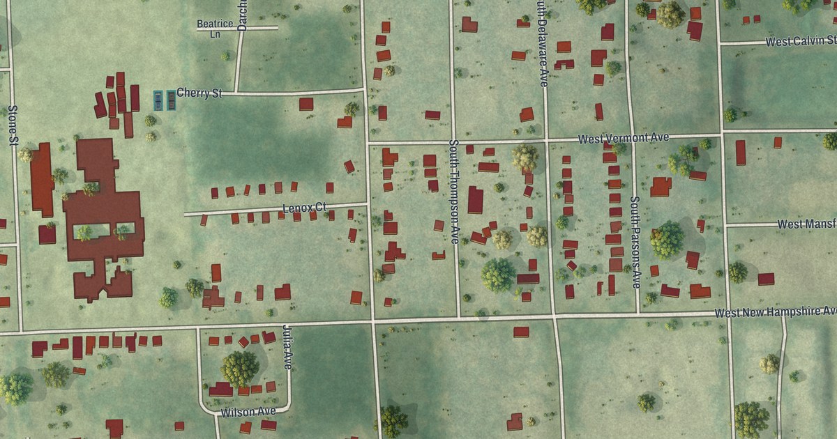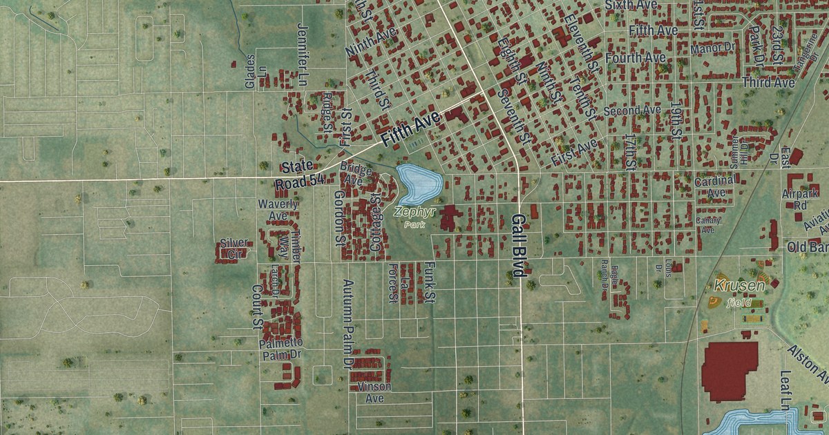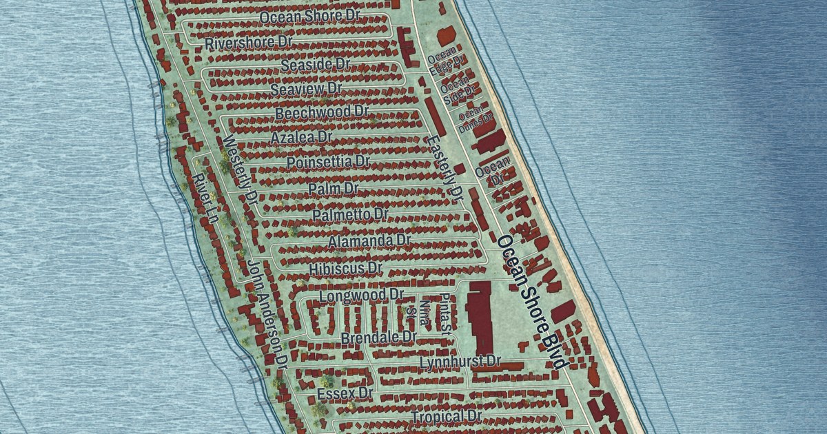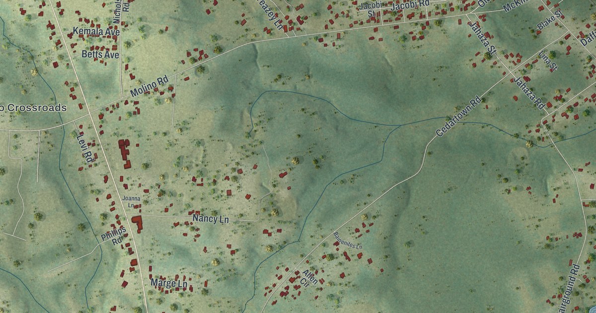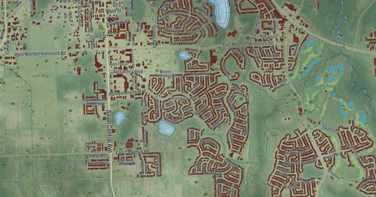
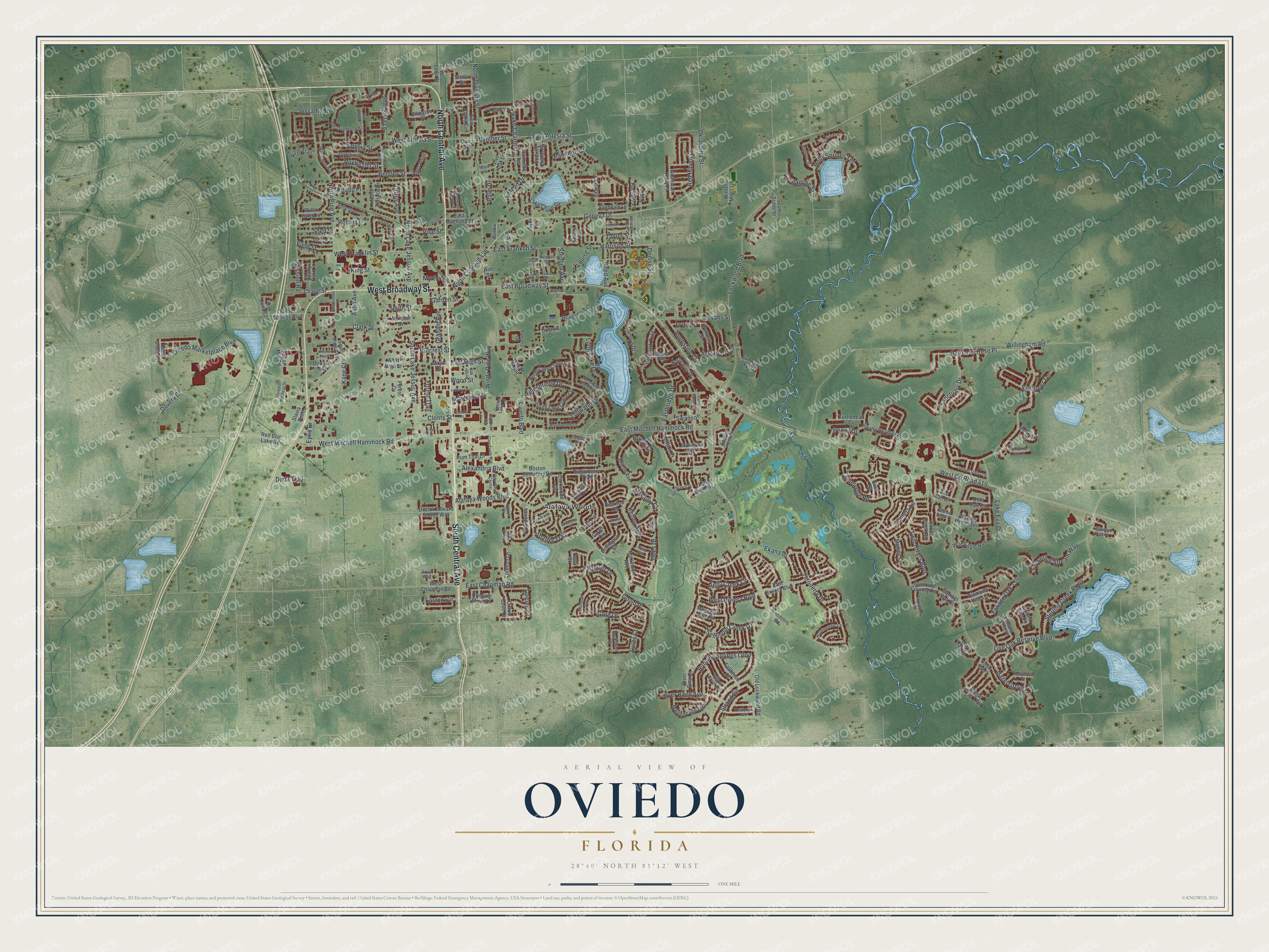
This beautifully detailed map of Oviedo, Florida was created in 2026 using aerial imagery combined with modern topographical, census, street and landmark data. It’s a one-of-a-kind view of Oviedo that combines accurate data with a vintage aesthetic. The map shows every building in its true location, many of the roads carry their names, and the shaded topographic relief shows the shape of the land.
Explore an aerial view of Oviedo, Florida
On the map you’ll find Alafaya Woods and West Co Road 419, along with South Central Avenue, West Broadway Street, North Central Avenue, East Broadway Street, West Mitchell Hammock Road, Clonts Street, East Chapman Road, West Artesia Street, Lake Charm Drive, East Artesia Street, and more. If you look closely you can even find your house accurately drawn in its correct location. Zoom in on the preview to look for yours.
Did You Know?
In the late 1870s, settler and shopkeeper Andrew Aulin applied for a new post office. He wanted a Spanish name that would honor the state’s Spanish roots. He chose Oviedo, after the capital of Asturias in northern Spain and its university.
Take a closer look at the Oviedo map
Names on this map
These names are printed on this map.
Places: Alafaya Woods.
Streets and roads: South Central Avenue, West Broadway Street, North Central Avenue, East Broadway Street, West County Road 419, West Mitchell Hammock Road, Clonts Street, East Chapman Road, West Artesia Street, Lake Charm Drive, East Artesia Street, Sanctuary Drive.
More street names, A to Z
Abell Circle, Academy Avenue, Adler Point, Alafaya Woods Boulevard, Alexandria Boulevard, Allendale Drive, Alpug Avenue, American Holly Place, Aqua Way, Artesia Street, Ashland Trail, Ash Street, Augustine Court, Aulin Avenue, Aviles Court, Beckstrom Drive, Bentley Street, Bighorn Street, Bishop Avenue, Bluejack Oak Drive, Boardwalk Avenue, Boston Cemetery Road, Boston Street, Brielle Avenue, Brielle Court, Broken Elm Place, Burnett Street, Calafut Court, Canoe Birch Place, Canoe Creek Road, Carolyn Drive, Celery Circle, Center Lake Lane, Chapel Street, Chippendale Terrace, Citrus Avenue, Citrus Cove Drive, City Plaza Way, City View Center, Clara Evans Way, Clark Street, Comanche Street, Coolbrook Court, Corkwood Drive, Country Charm Circle, Covington Street, Dark Oak Court, Deer Oak Circle, Dees Drive, De Leon Street, Denise Street, Diamond Leaf Lane, Dishman Loop, Doctor Edward Stoner Way, Doctors Drive, Double Tree Place, Douglas Avenue, Dovera Drive, Duda Trail, Eastbridge Drive, East Franklin Street, East High Street, East Magnolia Street, East Mitchell Hammock Road, Easton Circle, East Riviera Boulevard, Ekana Drive, Ellington Place, Emerald Green Circle, Evans Street, Evening Sky Drive, Eyrie Drive, Fallbrook Drive, Fieldstone Circle, Field Street, First Street, Florida Avenue, Flowering Stream Way, Foliage Oak Terrace, Fontana Circle, Forest Cv, Forest Trail, Foxfire Trail, Gabrielle Woods Place, Gambel Oak Court, Garden Street, Geneva Drive, Gerber Daisy Lane, Godwin Street, Gore Drive, Gould Place, Graham Avenue, Gwyn Circle, Hammonds Ferry Court, Hanging Moss Drive, Harrison Street, Hart Branch Drive, Hazel Grove Lane, Heirloom Rose Place, Henson Court, Hillcrest Street, Holly Springs Terrace, Hollywood Place, Horseman Drive, Horton Court, Hunters Lane, Huntingdale Lane, Jackson Street, Jessamy Street, Kane Court, Kelly Creek Circle, Kelly Green Street, Kelsey Avenue, Kensington Gardens Court, Kimble Street, Kingsbridge Drive, King Street, Knapp Place, Lake Charm Circle, Lake Eva Drive, Lakepark Trail, Lee Avenue, Lincoln Parkway, Lindsay Lane, Lingo Court, Live Oak Lane, Live Oak Reserve Boulevard, Lockwood Boulevard, Long Acres Lane, Long Branch Lane, Long Lake Drive, Lorenzo Lane, Louise Street, Loyd Lane, Lullwater Drive, Lynn Street, Mactavandash Drive, Magies Court, Maidencane Loop, Manchester Avenue, Manigan Avenue, Maple Court, Mayo Court, McCully Court, McGuirk Court, McKinnon Avenue, Mead Drive, Mission Road, Moccasin Run Road, Murcott Drive, Myrtle Street, Neely Street, Neile Court, New Castle Court, Newton Street, North County Road 426, North Division Street, North Lake Claire Circle, North Lake Jessup Avenue, North Pine Avenue, North Terrace Drive, Oak Bend Court, Oak Drive, Oak Street, Oklahoma Street, Old Alemany Place, Old Lockwood Road, Oviedo Boulevard, Oviedo Grove Circle, Oviedo Marketplace Boulevard, Oviedo Medical Drive, Palm Drive, Palmetto Street, Palmetto Terrace, Panther Street, Pearson Drive, Pegel Court, Peony Drive, Piazza Point, Providence Lane, Rachael Court, Raywood Ash Court, Red Ash Circle, Red Bug Lake Road, Red Haven Lane, Reed Avenue, Reed Grass Drive, Regal Pine Trail, Rich Drive, River Birch Avenue, Riveredge Road, River Pine Court, Robin Lane, Rochester Street, Royalwood Lane, Rum Thai Court, Running Springs Loop, Rustic Oak Place, Safflower Terrace, Sand Key Circle, Seminole Creek Drive, Shady Oak Lane, Shaffer Trail, Shangri la Lane, Shed Street, Simmons Road, Slavia Point, Smith Street, South Lake Claire Circle, South Lake Jessup Avenue, South Pine Avenue, South Stone Street, Spring Heather Place, Stellar Drive, Stephen Avenue, Sterling Creek Parkway, Strand Circle, Sugarberry Trail, Sugar Mill Road, Suncrest Court, Swanson, Sweetwater Creek Circle, Swift Road, Taylor Street, Tealbriar Avenue, Terravista Place, Third Street, Timberwood Trail, Town and Country Road, Turnberry Drive, Turtlehead Cv, Twin Oaks Circle, Twin Rivers Boulevard, Tyson Street, Vicki Court, Vine Street, Wading Heron Terrace, Ward Circle, Weaver Drive, Wellesly Street, Wellington Avenue, West Chapman Road, West Franklin Street, West High Street, West Magnolia Street, West Riviera Boulevard, Wheeler Place, Wild Eagle Run, Willa Lake Circle, Willingham Road, Willow Creek Drive, Wilson Avenue, Windy Pine Way, Winter Miles Lane, Winter Springs Boulevard, Wood Street, Yorkshire Drive, Zamora Place.
See it on a wall
The Oviedo map as a framed print. Swipe for more.


This beautifully detailed map of Oviedo makes an attractive addition to your office, library, or den, and it can even be used to teach children the geography and history of the area. It also makes a great gift for someone who left Oviedo and still calls it home. When you’re done exploring, click here to get your copy of the Oviedo map.