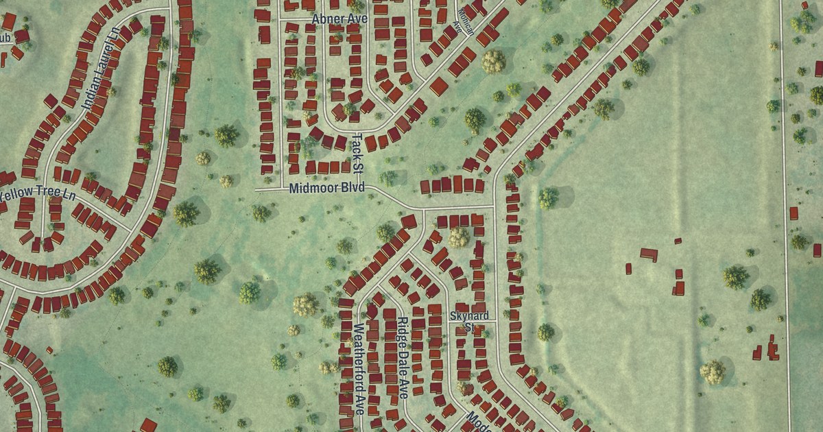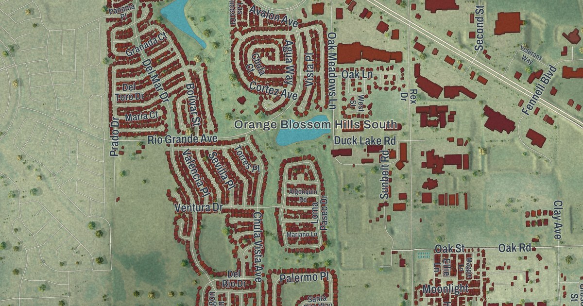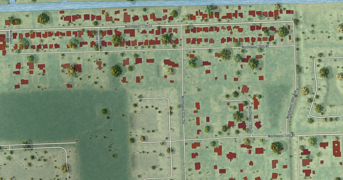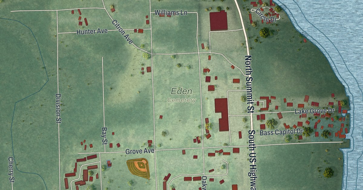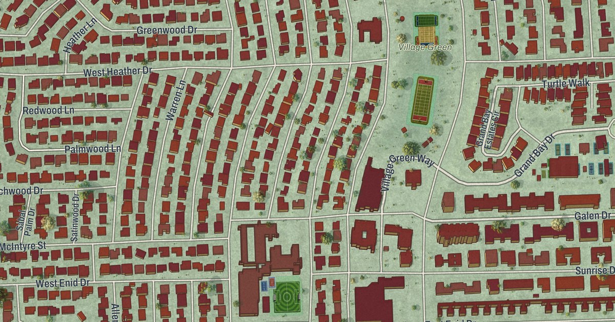
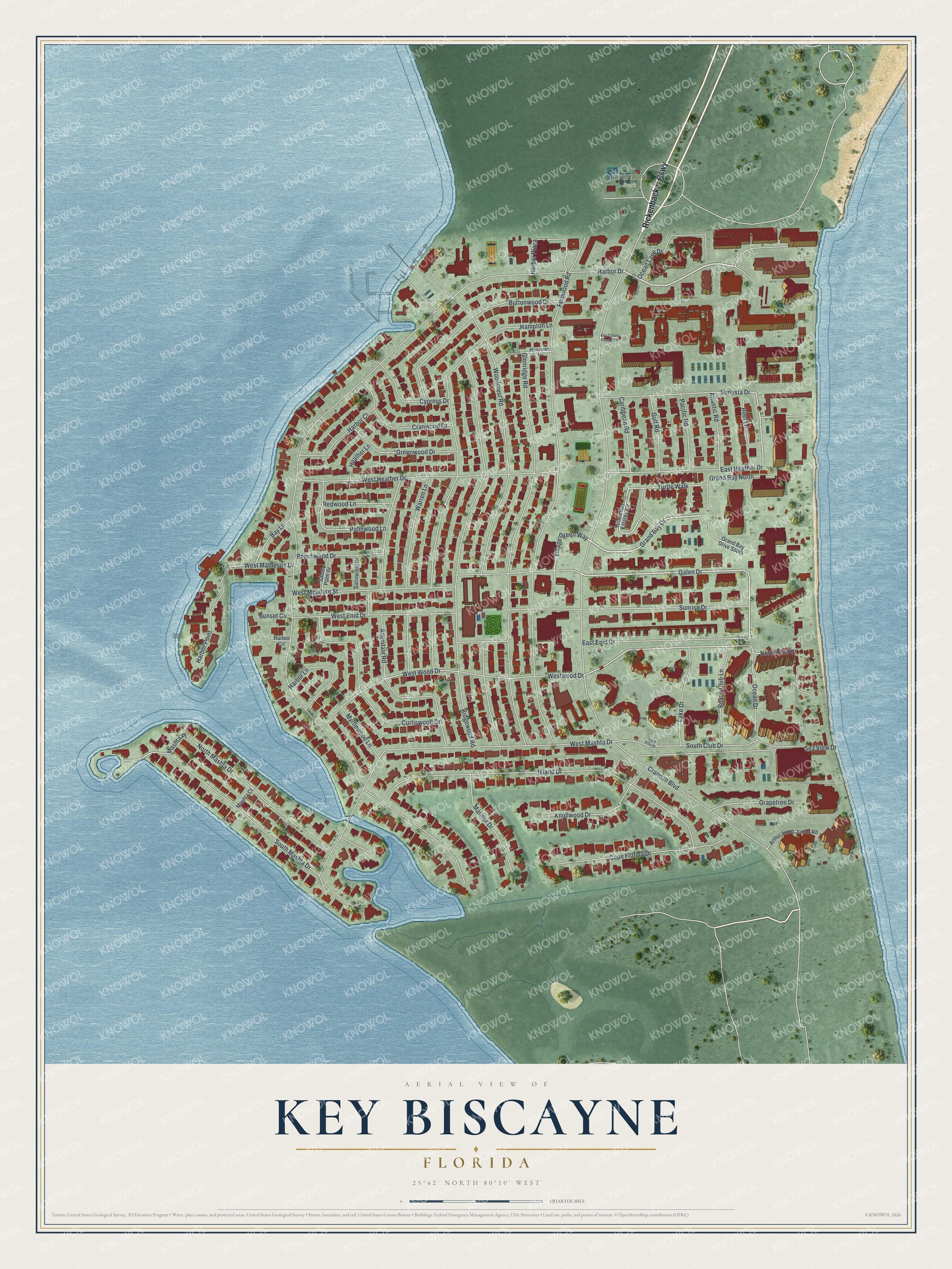
This beautifully detailed map of Key Biscayne, Florida was created in 2026 using aerial imagery combined with modern topographical, census, street and landmark data. It’s a one-of-a-kind view of Key Biscayne that combines accurate data with a vintage aesthetic. The map shows every building in its true location, many of the roads carry their names, and the shaded topographic relief shows the shape of the land.
Explore an aerial view of Key Biscayne, Florida
On the map you’ll find Crandon Park, Village Green, Rickenbacker Cswy, and Mashta Place, along with Ocean Lane Drive, Grand Bay Drive, Village Green Way, Ocean Drive, Galen Drive, West Matheson Drive, North Club Drive, Harbor Drive, and more. If you look closely you can even find your house accurately drawn in its correct location. Zoom in on the preview to look for yours.
Did You Know?
In 1969 President Richard Nixon bought the first of three waterfront homes on Key Biscayne. The compound became known as the Florida White House. He came to the island more than 50 times between 1969 and 1973. As the Watergate scandal grew, he often retreated there.
Take a closer look at the Key Biscayne map
Names on this map
These names are printed on this map.
Places: Crandon Park and Village Green.
Streets and roads: Rickenbacker Causeway, Ocean Lane Drive, Grand Bay Drive, Village Green Way, Ocean Drive, Galen Drive, West Matheson Drive, North Club Drive, Mashta Place, Harbor Drive, Crandon Boulevard, Fernwood Road.
More street names, A to Z
Allendale Road, Arthur Lamb Junior Road, Atlantic Road, Bay Lane, Beach Club Lane, Beechwood Drive, Buttonwood Drive, Cape Florida Drive, Caribbean Road, Cranwood Drive, Curtiswood Drive, Cypress Drive, East Enid Drive, East Heather Drive, Glenridge Road, Grand Bay Drive South, Grand Bay Estates Circle, Grand Bay North, Grapetree Drive, Greenwood Drive, Gulf Road, Hampton Lane, Harbor Circle, Harbor Court, Harbor Lane, Harbor Plaza, Harbor Point, Heather Lane, Island Drive, Key Colony Front Gate, Knollwood Drive, Lake Drive, Lake Villa Drive, Mariner Drive, Mashta Court, Myrtlewood Lane, North Mashta Drive, Pacific Road, Palmwood Lane, Redwood Lane, Reef Lane, Ridgewood Road, Sabal Palm Drive, Satinwood Drive, Sea View Drive, Sonesta Drive, South Club Drive, South Mashta Drive, Sunrise Drive, Sunset Circle, Turtle Walk, Warren Lane, West Enid Drive, West Heather Drive, West Mashta Drive, West McIntyre Street, Westwood Drive, West Wood Drive, Woodcrest Lane, Woodcrest Road.
See it on a wall
The Key Biscayne map as a framed print. Swipe for more.


This beautifully detailed map of Key Biscayne makes an attractive addition to your office, library, or den, and it can even be used to teach children the geography and history of the area. It also makes a great gift for anyone who grew up in Key Biscayne or moved away. When you’re done exploring, click here to get your copy of the Key Biscayne map.