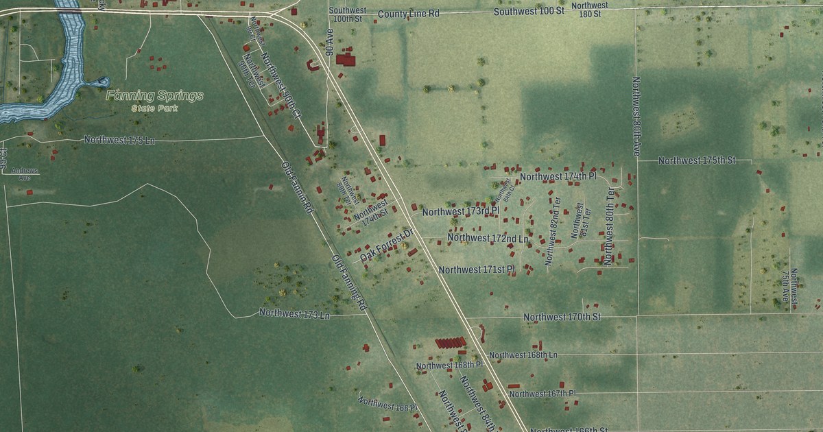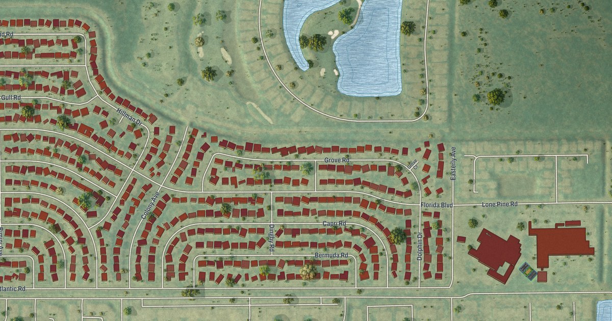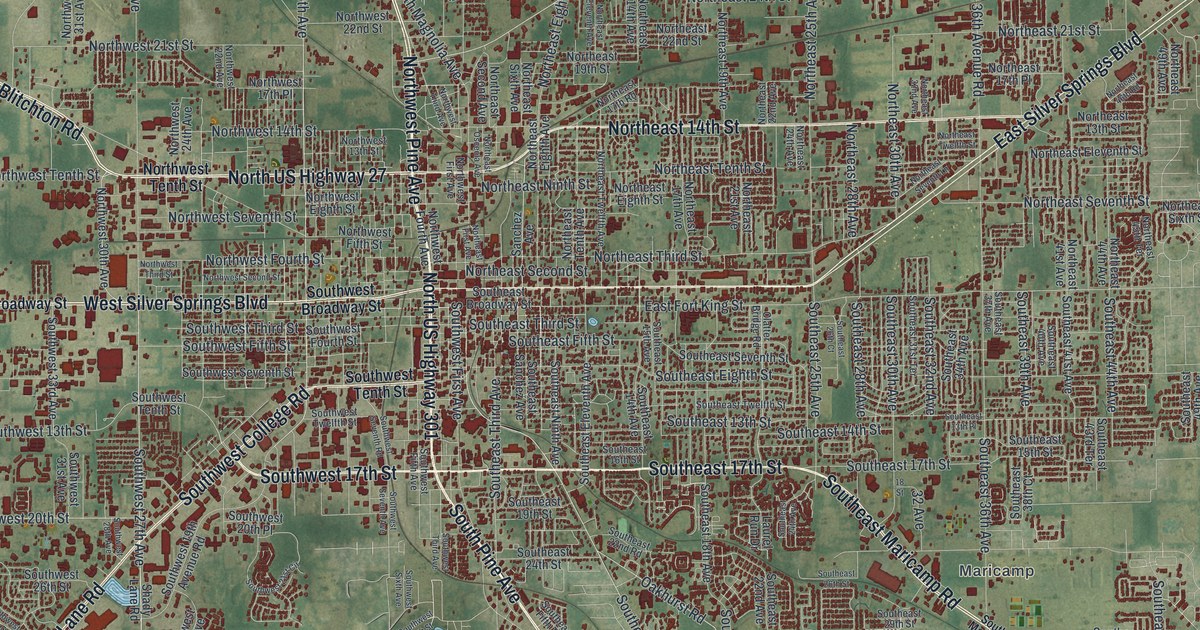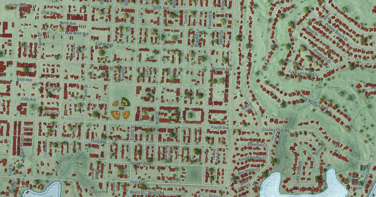
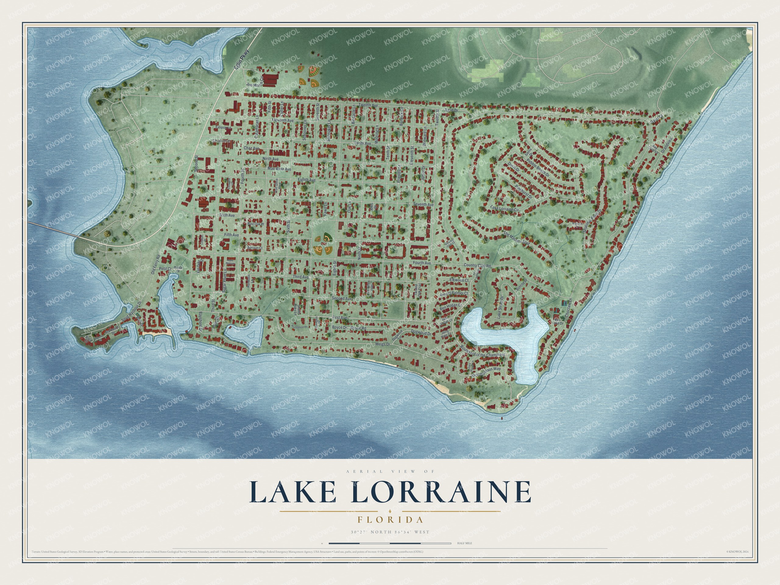
This beautifully detailed map of Lake Lorraine, Florida was created in 2026 using aerial imagery combined with modern topographical, census, street and landmark data. It's a modern aerial view of Lake Lorraine in Okaloosa County, Florida, that combines modern data with a vintage aesthetic. The roads feature printed names, and if you look closely you can find your exact house accurately shown in its correct location.
Explore an aerial view of Lake Lorraine, Florida
On this map you'll find Shalimar, Eglin Parkway, Boulevard of the Champions, First Avenue, Twelfth Street, Second Avenue, Joe Martin Circle, Friendly Lane, Country Club Road, Meigs Drive, Lake Lorraine Circle, Ninth Avenue, and more. Each red shape is a building, so zoom in on the preview and look for yours.
Lake Lorraine is a community in Okaloosa County. The Census Bureau counted 7,142 people here in 2020. Lake Lorraine sits about 2 miles southwest of Eglin AFB, 2 miles east of Ocean City and 3 miles northeast of Cinco Bayou. The map prints the town name in its title panel, with the coordinates below it.
Take a closer look at the Lake Lorraine map
Names on this map
These names are printed on this map.
Places: Shalimar.
Streets and roads: Eglin Parkway, Boulevard of the Champions, First Avenue, Twelfth Street, Second Avenue, Joe Martin Circle, Friendly Lane, Country Club Road, Meigs Drive, Lake Lorraine Circle, Ninth Avenue, Seventh Avenue.
More street names, A to Z
Adriaan Court, Amis Drive, Apple Blossom, Arnold Palmer Court, Bay Cove Lane, Bayshore Drive, Ben Hogan Court, Berwick Circle, Binnacle Lane, Boyce Drive, Boyce Road, Catamaran Lane, Cayenne Lane, Chaz Avenue, Choctaw Lane, Citation Drive, Country Club Court, Cutter Lane, Davis Court, Dogwood Drive, Dogwood Lane, Doral Drive, East Lake Drive, Eglin Drive, Eighth Avenue, Eighth Street, Eleventh Avenue, Eleventh Street, Elizabeth Lane, Elkwood Court, Farquar Lane, Fawn Lane, Fifth Avenue, Fifth Street, Fourth Avenue, Fourth Street, Fox Valley Road, Gary Player Lane, Grandview, Handolin Lane, Jack Nicklaus Way, Jerry Pate Court, Junior Drive, Lake Shore Drive, Mae Winn Avenue, Mooring Lane, Ninth Street, Oak Lane, Old Ferry Road, Palm Drive, Pebble Beach Drive, Petit Court, Petite Drive, Pinehurst Drive, Port Dixie Boulevard, Port Drive, Post Oak Place, Roundabend Road, Sam Snead Court, Schooner Lane, Second Street, Seventh Street, Shady Oaks Lane, Shalimar Lane, Shalimar Point Drive, Sierra Drive, Sixth Avenue, Sixth Street, Snug Harbour Drive, Spinnaker Lane, Springhill Road, Starboard Drive, Sugar Plum Lane, Sunrise Drive, Tall Pines Trail, Tenth Avenue, Tenth Street, The Masters Boulevard, Third Avenue, Third Street, Twelfth Avenue, Twisted Oak Trail, Van Dyke Drive, Vista Circle, Winward Lane.
See it on a wall
The Lake Lorraine map as a framed print. Swipe for more.


Created by KNOWOL in 2026. The buildings are small red shapes, the roads carry their printed names, and shaded relief shows the shape of the land. The title panel reads "AERIAL VIEW OF LAKE LORRAINE, FLORIDA" with 30°27' NORTH 86°34' WEST.
It looks right in a kitchen, an office or a den, and it's a gift for anyone who grew up in Lake Lorraine or moved away. Open the preview and find your street. See sizes and frames for the Lake Lorraine map.