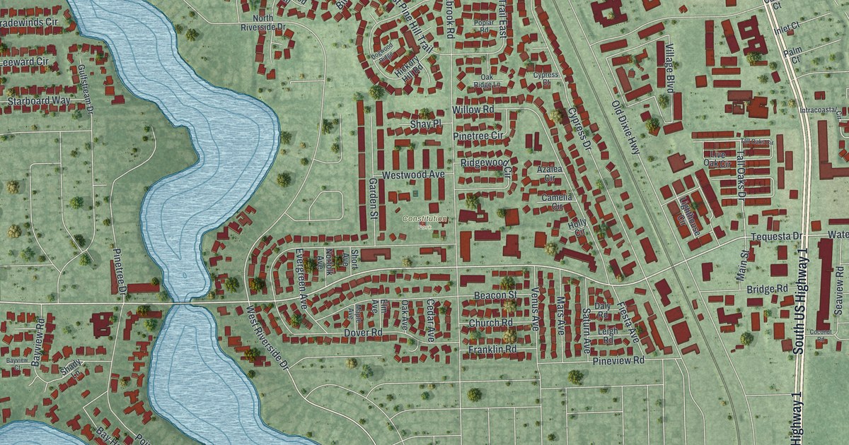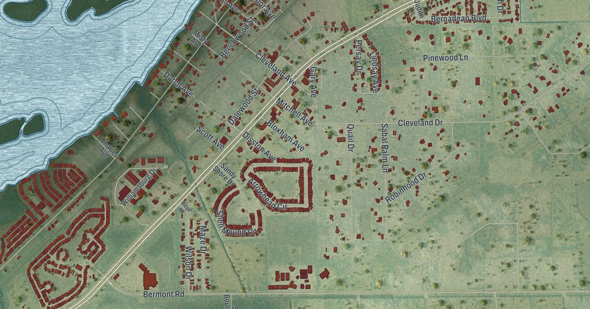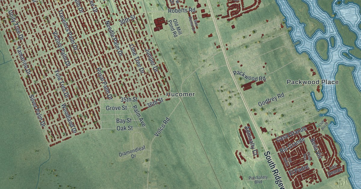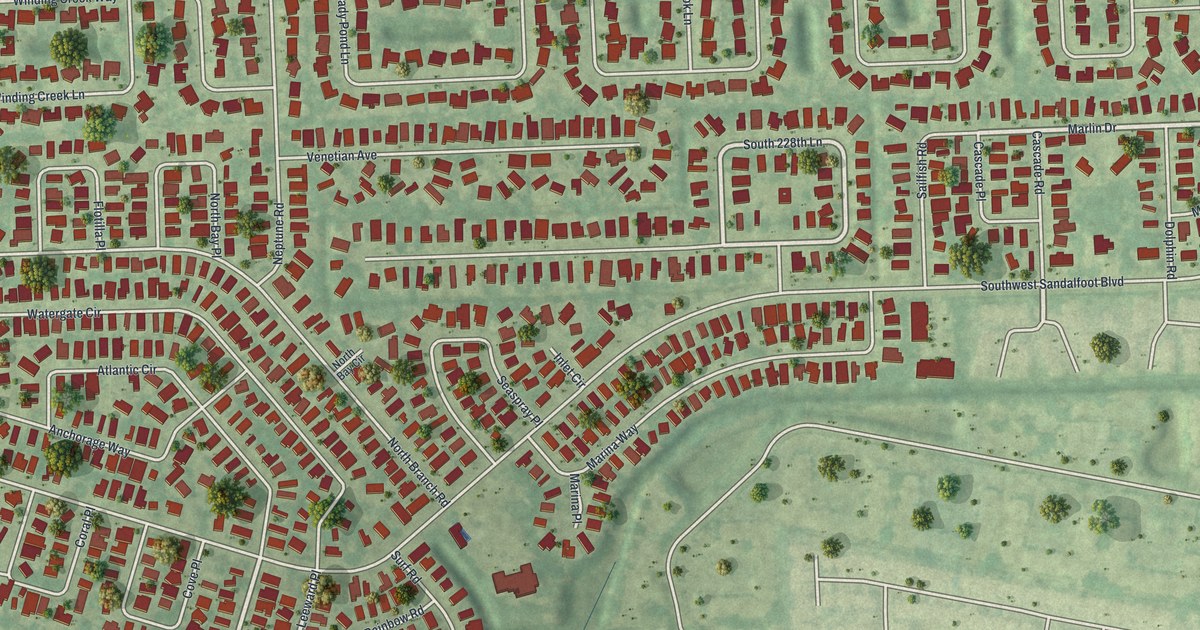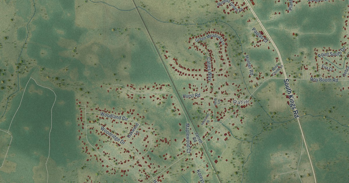
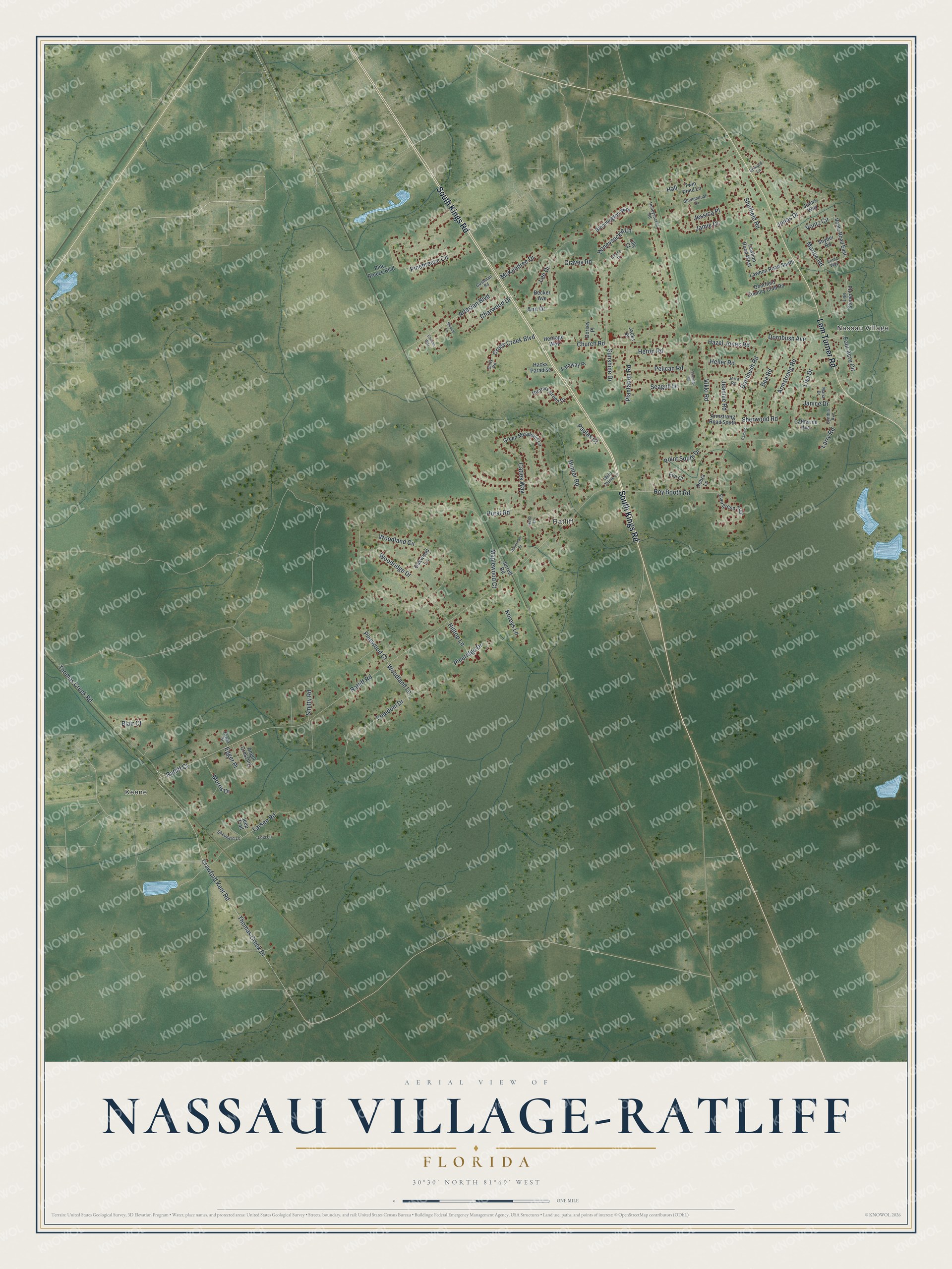
This beautifully detailed map of Nassau Village-Ratliff, Florida was created in 2026 using aerial imagery combined with modern topographical, census, street and landmark data. It's a modern aerial view of Nassau Village-Ratliff in Nassau County, Florida, that combines modern data with a vintage aesthetic. The roads feature printed names, and if you look closely you can find your exact house accurately shown in its correct location.
Explore an aerial view of Nassau Village-Ratliff, Florida
On this map you'll find Nassau Village, Keene, Ratliff, South Kings Road, Lem Turner Road, Jamie Drive, Thomas Creek Road, Thomas Creek Drive, Artesian Boulevard, Crawford Kent Road, Ratliff Road, Church Road, and more. Each red shape is a building, so zoom in on the preview and look for yours.
Here is a piece of Nassau Village-Ratliff history. On May 17, 1777, during the American Revolution, British regulars, mounted East Florida Rangers and Native allies attacked part of an American force marching to capture St. Augustine, at a site on Thomas Creek. After heavy losses, the Americans, already short of supplies and worn down by the heat, retreated from Florida. Only one more American invasion of East Florida was tried during the rest of the war, and it failed too. That's from the Florida Division of Historical Resources.
Nassau Village-Ratliff is a community in Nassau County. The Census Bureau counted 5,561 people here in 2020.
Take a closer look at the Nassau Village-Ratliff map
Names on this map
These names are printed on this map.
Places: Nassau Village, Keene and Ratliff.
Streets and roads: South Kings Road, Lem Turner Road, Jamie Drive, Thomas Creek Road, Thomas Creek Drive, Artesian Boulevard, Crawford Kent Road, Ratliff Road, Church Road, Woodland Circle, Pinebreeze Circle, Roy Booth Road.
More street names, A to Z
Albany Place, Angel Crossing, Ann Drive, Armstrong Road, Armstrong Road South, Bea Road, Becker Avenue, Blair Court, Bloomington Way, Camelot, Canaan Way, Catherine Avenue, Caties Way, Charwood Drive, Cravey Road, Cross Creek Boulevard, Cushman Road, Cynthia Avenue, Dairy Road, Debra Lane, Deerfield Country Club Road, Dornbush Avenue, Dornbush Road, Dorsey Place, Edward Lane, Egger Place, Eva Court, Evada Street, Evergreen Trail, Faraway Place, Flamingo Road, Four Acre Circle, Freedom Drive, Green Meadows Lane, Hacks Paradise, Hall, Hazel Jones Road, Heller Road, Hendricks Place, Herb Lane, Heritage Way, Heron Road, Hilltop Lane, Honeysuckle Lane, Honeysuckle Road, Hunter Road, Hunters Green Drive, Hurst Road, Jacks Place, Janice Drive, Jarrett Road, Jeannie Road, Jeep Trail, Jerra Road, Jessica Place, Jonas Drive, Jonas Way, Koreys Lane, Larry Road, Larsen Road, Lawhon Road South, Lawhon Road West, Lee Drive, Lee Stoner Road, Lilly Court, Lisa Drive, Lois Lane, Maplewood Court, Maria Drive, Marlee Road, McKendree Drive, Miracle Lane, Morris Drive, Oakwood Lane, Paulas Court, Pelican Road, Pine Breeze Boulevard, Pineridge Drive, Pinewood Court, Plantation Road, Point South Drive, Ratliff Court, Seagull Drive, Sheffield Road, Shenandoah Lane, Sheppard Lane, Sherwood Road, Smitty Road, Snyder Road, Sunshine Drive, Twin Pond Lane, Vikki Road, Vontz Circle, Vontz Road East, Vontz Way, Wind Chime Lane, Woodland Lane, Woodridge Drive.
See it on a wall
The Nassau Village-Ratliff map as a framed print. Swipe for more.


Created by KNOWOL in 2026. The buildings are small red shapes, the roads carry their printed names, and shaded relief shows the shape of the land. The title panel reads "AERIAL VIEW OF NASSAU VILLAGE-RATLIFF, FLORIDA" with 30°30' NORTH 81°49' WEST.
It suits a den, a classroom or a front hall, and it makes a gift for anyone with Nassau Village-Ratliff roots. Open the preview and find the block you know. See sizes and frames for the Nassau Village-Ratliff map.