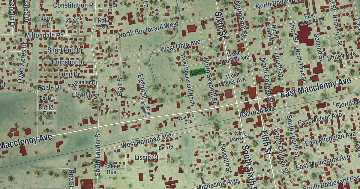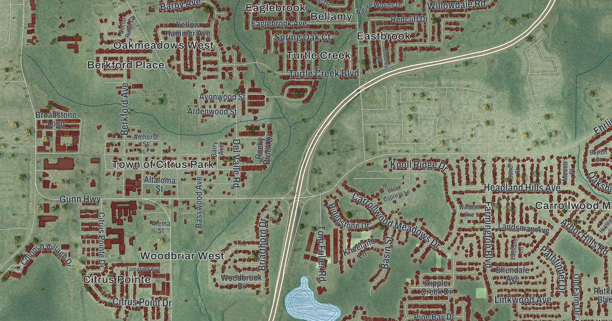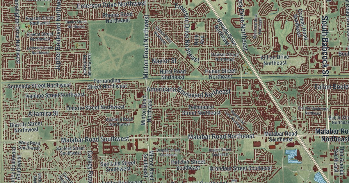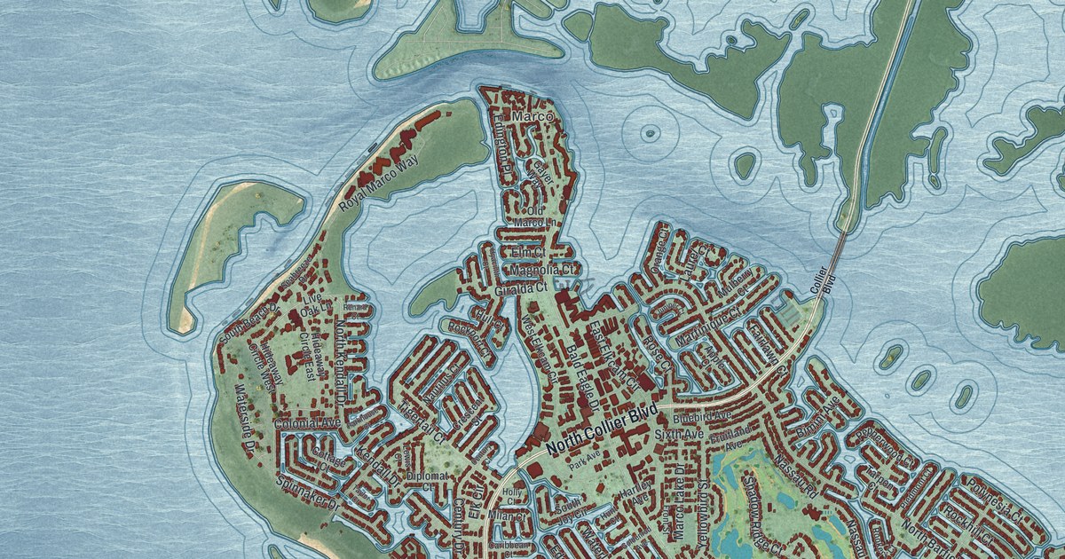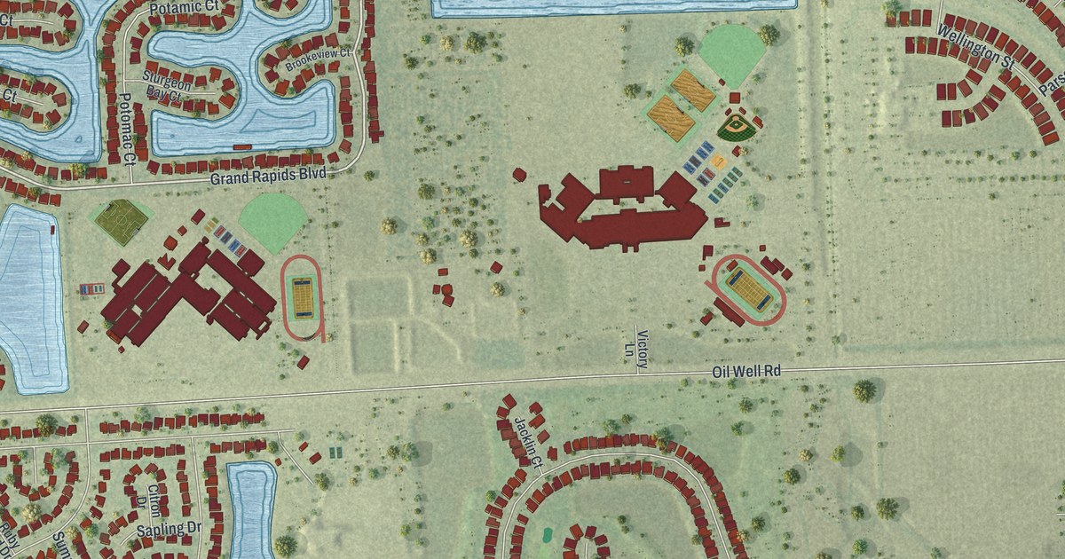
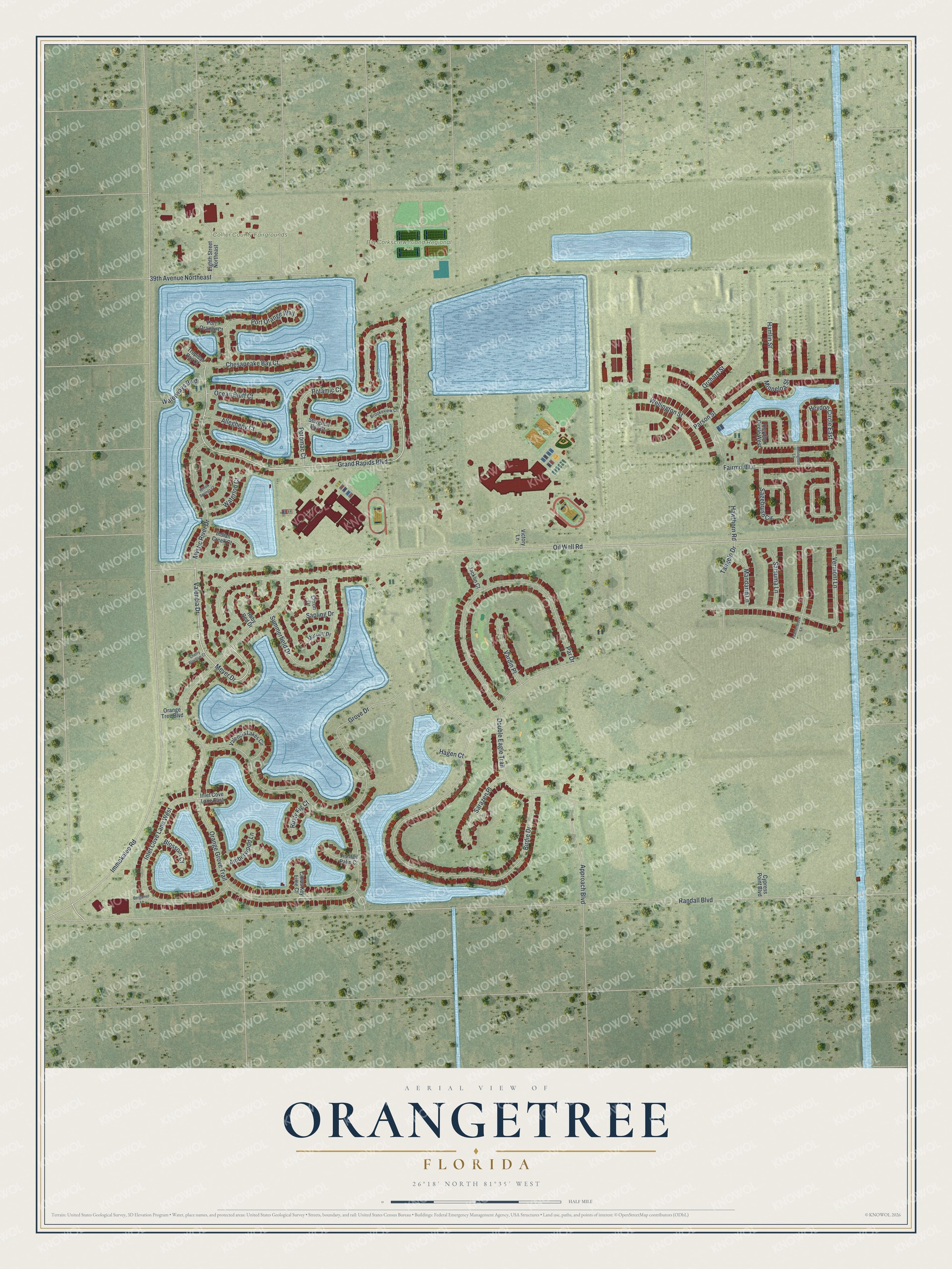
This beautifully detailed map of Orangetree, Florida was created in 2026 using aerial imagery combined with modern topographical, census, street and landmark data. It's a modern aerial view of Orangetree in Collier County, Florida, that combines modern data with a vintage aesthetic. The roads feature printed names, and if you look closely you can find your exact house accurately shown in its correct location.
Explore an aerial view of Orangetree, Florida
On this map you'll find Big Corkscrew Island Regional Park, Collier County Fairgrounds, Randall Boulevard, Grand Rapids Boulevard, Valencia Drive, Meyer Drive, Immokalee Road, Oil Well Road, Orange Grove Trail, Grove Drive, Birdie Drive, Vermont Lane, and more. Each red shape is a building, so zoom in on the preview and look for yours.
Orangetree is a community in Collier County. The Census Bureau counted 5,896 people here in 2020. Orangetree sits about 5 miles east of Heritage Bay, 9 miles west of Ave Maria and 9 miles east of Island Walk. The map prints the town name in its title panel, with the coordinates below it.
Take a closer look at the Orangetree map
Names on this map
These names are printed on this map.
Places: Big Corkscrew Island Regional Park and Collier County Fairgrounds.
Streets and roads: Randall Boulevard, Grand Rapids Boulevard, Valencia Drive, Meyer Drive, Immokalee Road, Oil Well Road, Orange Grove Trail, Grove Drive, Birdie Drive, Vermont Lane, Par Drive, Double Eagle Trail.
More street names, A to Z
39th Avenue Northeast, Allegheny Court, Amberwood Lane, Approach Boulevard, Bellingham Lane, Bergamot Lane, Blossom Court, Brookeview Court, Cherry Blossom Court, Chesapeake Bay Court, Citron Drive, Citrus Key Lime Court, Cypress Point Boulevard, Eighth Street Northeast, Fairmont Lane, Featherbrook Lane, Fishtail Palm Court, Hagen Court, Hamlin Street, Hawthorn Road, Heydon Circle East, Heydon Circle West, Indian Creek Court, Inlet Cove Lane East, Inlet Cove Lane West, Jacklin Court, Mandarin Lane, Minneloa Street, Murcott Drive, Mystic River Drive, Ocean Bluff Court, Orange Tree Boulevard, Orchard Street, Parson Street, Port Orange Court, Port Orange Way, Potamic Court, Potomac Court, Ruby Red Drive, Rusty Fig Court, Sagebrush Circle, Sapling Drive, Sarazen Place, Satsuma Lane, Sturgeon Bay Court, Summerfield Drive, Tangelo Drive, Tropical Bay Court, Valencia Lakes Circle, Vardin Place, Victory Lane, Waterloo Court, Waterways Boulevard, Wellington Street, Willow Springs Court.
See it on a wall
The Orangetree map as a framed print. Swipe for more.


Created by KNOWOL in 2026. The buildings are small red shapes, the roads carry their printed names, and shaded relief shows the shape of the land. The title panel reads "AERIAL VIEW OF ORANGETREE, FLORIDA" with 26°18' NORTH 81°35' WEST.
Hang it in the hallway, the office or the cabin, or give it to someone who left Orangetree and still calls it home. Open the preview and look for a street you know. See sizes and frames for the Orangetree map.