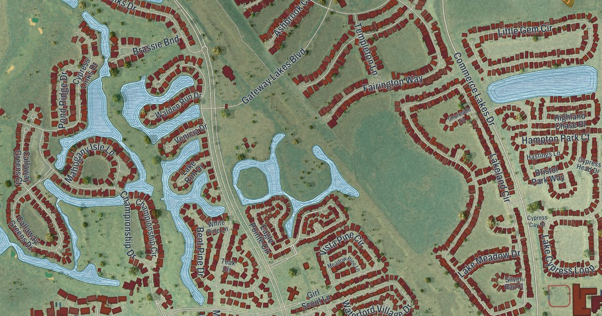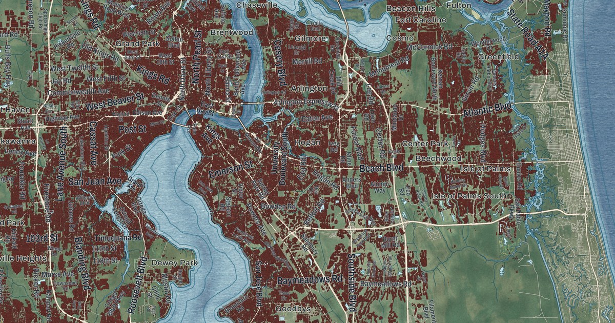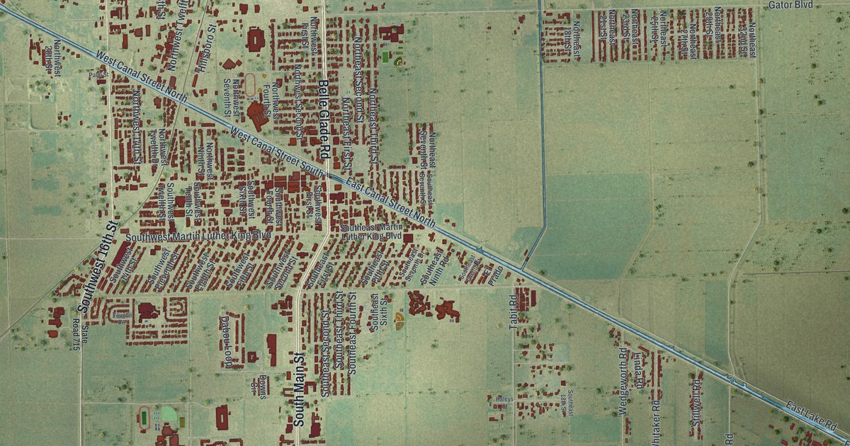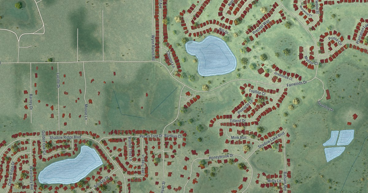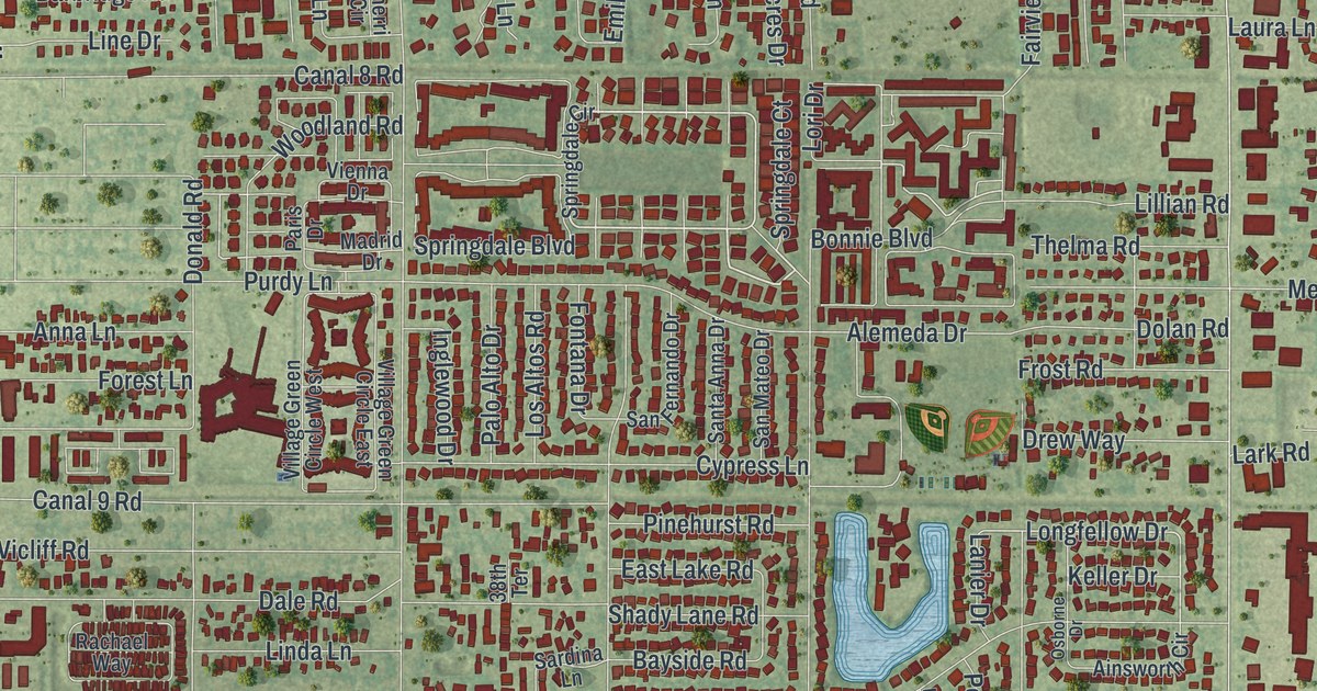
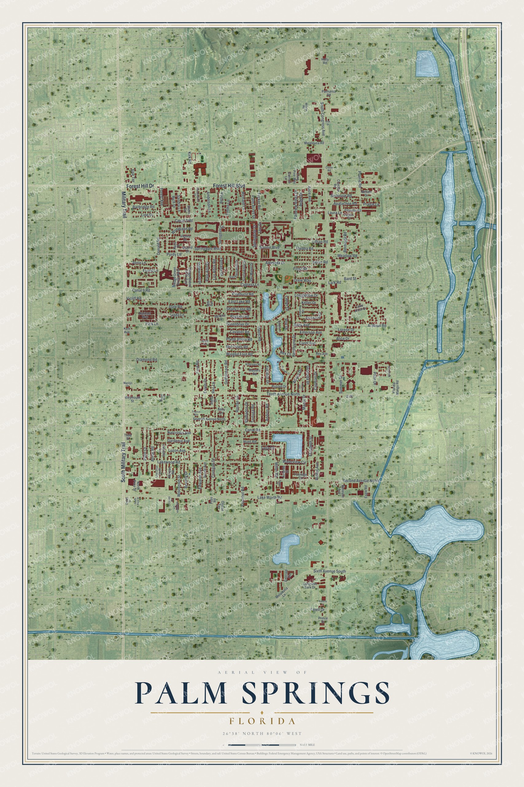
This beautifully detailed map of Palm Springs, Florida was created in 2026 using aerial imagery combined with modern topographical, census, street and landmark data. It’s a one-of-a-kind view of Palm Springs that combines accurate data with a vintage aesthetic. The map shows every building in its true location, many of the roads carry their names, and the shaded topographic relief shows the shape of the land.
Explore an aerial view of Palm Springs, Florida
On the map you’ll find Lake Worth Memory Gardens, along with South Military Trail, Forest Hill Boulevard, Forest Hill Drive, Military Trail, Arabian Road, Springdale Court, Lori Drive, Narcissus Avenue, Woodland Road, Longfellow Drive, South Congress Avenue, and more. If you look closely you can even find your house accurately drawn in its correct location. Zoom in on the preview to look for yours.
Did You Know?
In 1927 William A. Boutwell began a dairy farm on 5 acres here. It grew to about 700 acres and more than 1,000 Guernsey cattle, one of Florida’s largest dairy farms. Boutwell also invented half-and-half creamer in Lake Worth. After he retired, Palm Springs was chartered on his old farmland in May 1957.
Take a closer look at the Palm Springs map
Names on this map
These names are printed on this map.
Places: Lake Worth Memory Gardens.
Streets and roads: South Military Trail, Forest Hill Boulevard, Forest Hill Drive, Military Trail, Arabian Road, Springdale Court, Lori Drive, Narcissus Avenue, Woodland Road, Longfellow Drive, South Congress Avenue, Kirk Road.
More street names, A to Z
38th Terrace, 43rd Drive South, Abaco Drive, Ainsworth Circle, Alemeda Drive, Alice Avenue, Alice Drive, Almar Road, Amanda Street, Anderson Lane, Andros Road, Angel Drive, Anna Lane, Apalachee Road, Barbados Drive, Barbridge Road, Bard Street, Bayside Road, Bellevue Avenue, Bell Lane, Bermuda Road, Beverly Drive, Bonnie Boulevard, Canal 8 Road, Canal 9 Road, Canal Road, Carol Avenue, Cavalier Road, Cayman Drive, Childs Street, Choctaw Road, Coconut Road, Congress Park Drive, Cooley Court, Corrigan Court, Creek Road, Cypress Lane, Dale Road, Dalinda Lane, Davis Road, Diamond Road, Dolan Road, Dolphin Circle, Donald Road, Drew Way, East Lake Road, Edwards Avenue, Elizabeth Street, Emerald Vis, Emerson Avenue, Emerson Circle, Emilio Lane, Engle Road, Erie Terrace, Evans Drive, Fairview Villas Drive, Ferell Drive, Florida Mango Road, Floweva Road, Fontana Drive, Ford Road, Forest Avenue, Forest Lane, Foss Road, Foxridge Court, Frost Road, Gardenia Avenue, Grace Avenue, Granada Court, Granada Drive, Greenbrier Drive, Grteentree Circle, Gulfstream Road, Henthorne Drive, Hi Street, Holly Road, Hunt Road, Inglewood Drive, Keller Drive, Kent Avenue, Kenyon Road, Lake Arbor Drive, Lakewood Road, Lake Worth Road, Lanier Drive, Lark Road, Laura Lane, Laurette Lane, Lillian Road, Linda Lane, Line Drive, Lone Pine Way, Lorene Drive, Los Altos Road, Luzon Avenue, Madrid Drive, Manor Drive, Marilyn Drive, Masters Road, Meadow Road, Melaleuca Lane, Melaleuca Road, Mid Pines Road, Miller Road, Nelson Drive, North Price Street, Oak Drive, Olsson Terrace, Osborne Drive, Palm Acres Drive, Palmarita Road, Palm Drive, Palo Alto Drive, Paris Drive, Park Lane, Patio Court, Pinehurst Road, Poe Drive, Pond Place, Ponte Vedra Road, Prairie Lane, Prairie Road, Prince Drive, Purdy Lane, Rachael Way, Reo Lane, Rex Avenue, Rex Court, Richard Lane, Rich Drive, Riedel Avenue, Riley Avenue, Riverdale Road, Roberts Lane, Rostan Lane, Russell Drive, Sally Lane, Sandra Lane, San Fernando Drive, San Juan Drive, San Mateo Drive, Santa Anna Drive, Sardina Lane, Second Avenue North, Seminole Road, Serubi Avenue, Seventh Avenue North, Shady Lane Road, Shelby Way, Sherri Circle, Sierra Drive, Sixth Avenue South, South Price Street, Springdale Boulevard, Springdale Circle, Springfield Lane, Summer Street, Talia Circle, Tenth Avenue North, Thelma Road, Todd Street, Tortuga Road, Tropical Way, Tucker Road, Vicliff Road, Vienna Drive, Village Green Circle East, Village Green Circle West, Waterview Circle, Weymouth Street, Willow Road, Winged Foot Road, Wisconsin Street, Woodhaven Drive, Yucatan Drive.
See it on a wall
The Palm Springs map as a framed print. Swipe for more.


This beautifully detailed map of Palm Springs makes an attractive addition to your office, library, or den, and it can even be used to teach children the geography and history of the area. It also makes a great gift for anyone with Palm Springs roots. When you’re done exploring, click here to get your copy of the Palm Springs map.