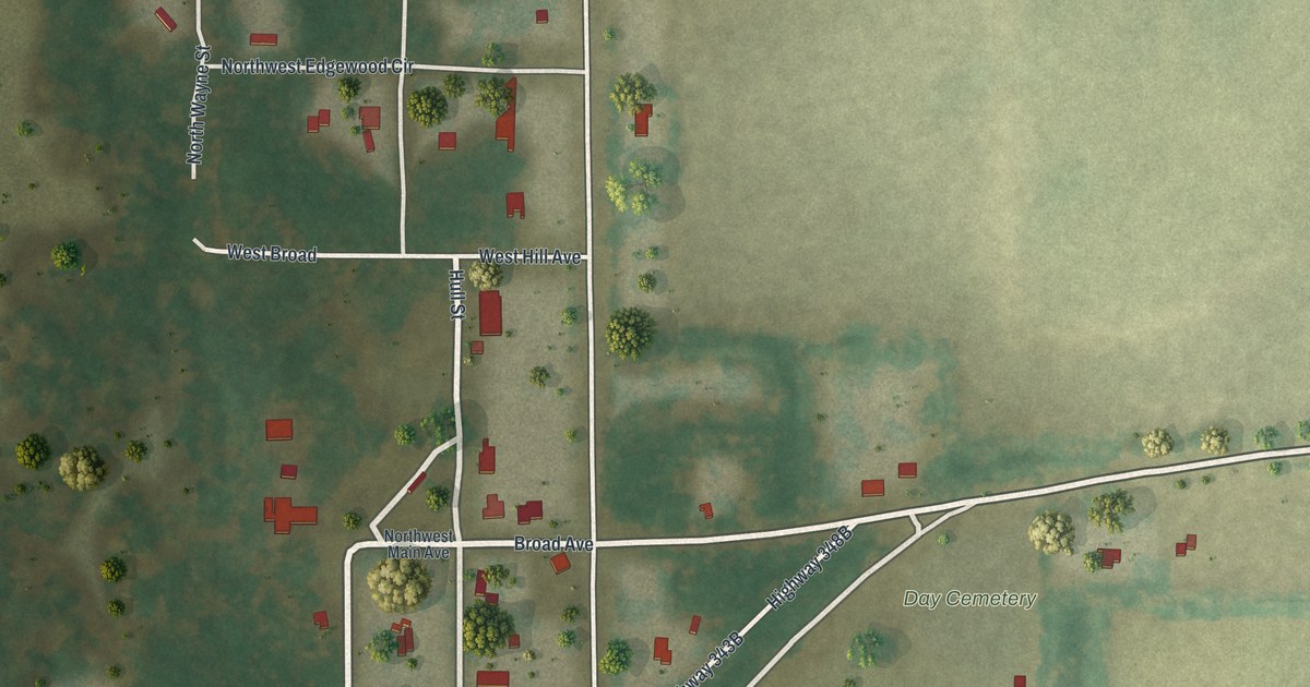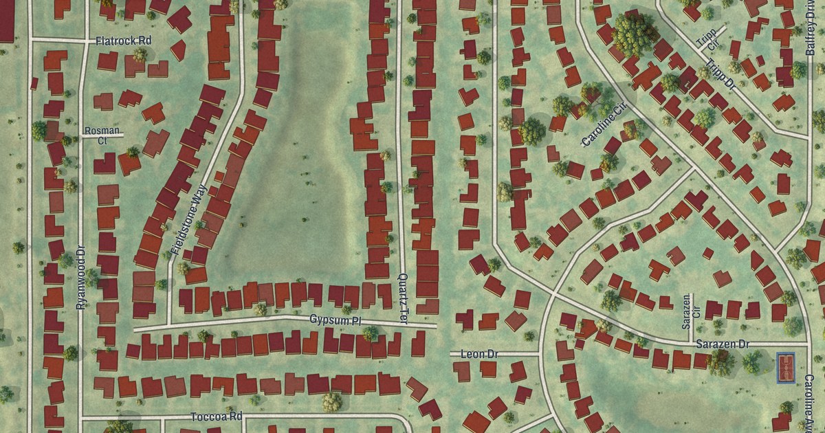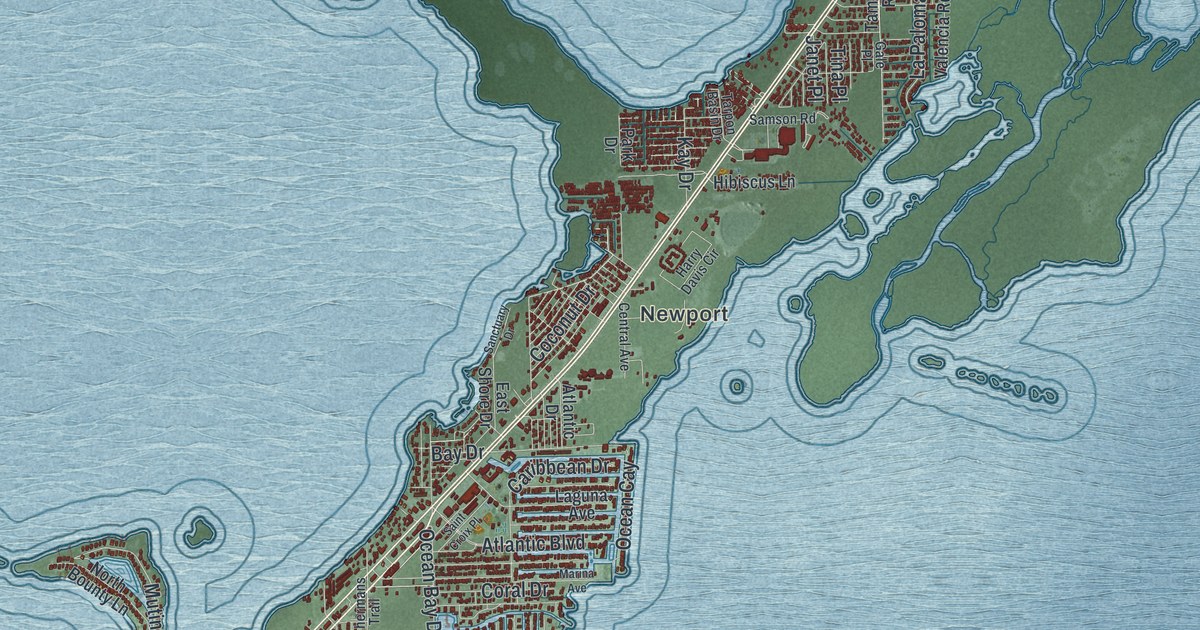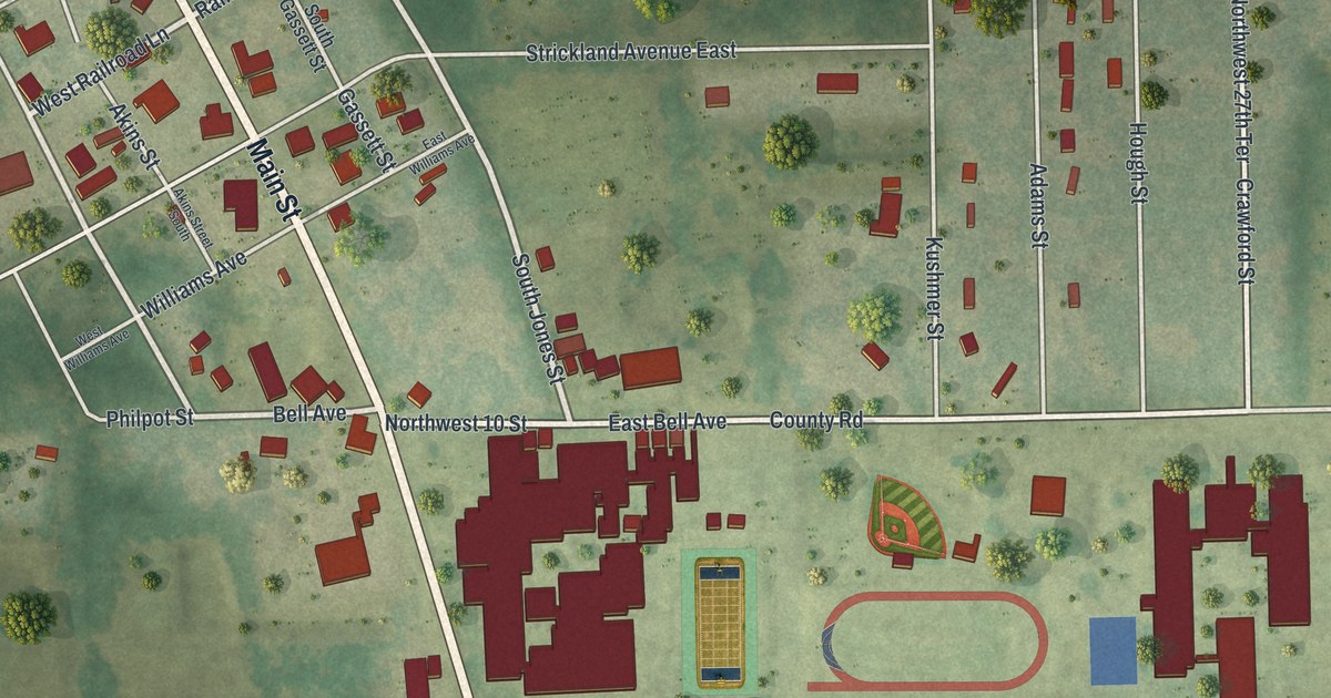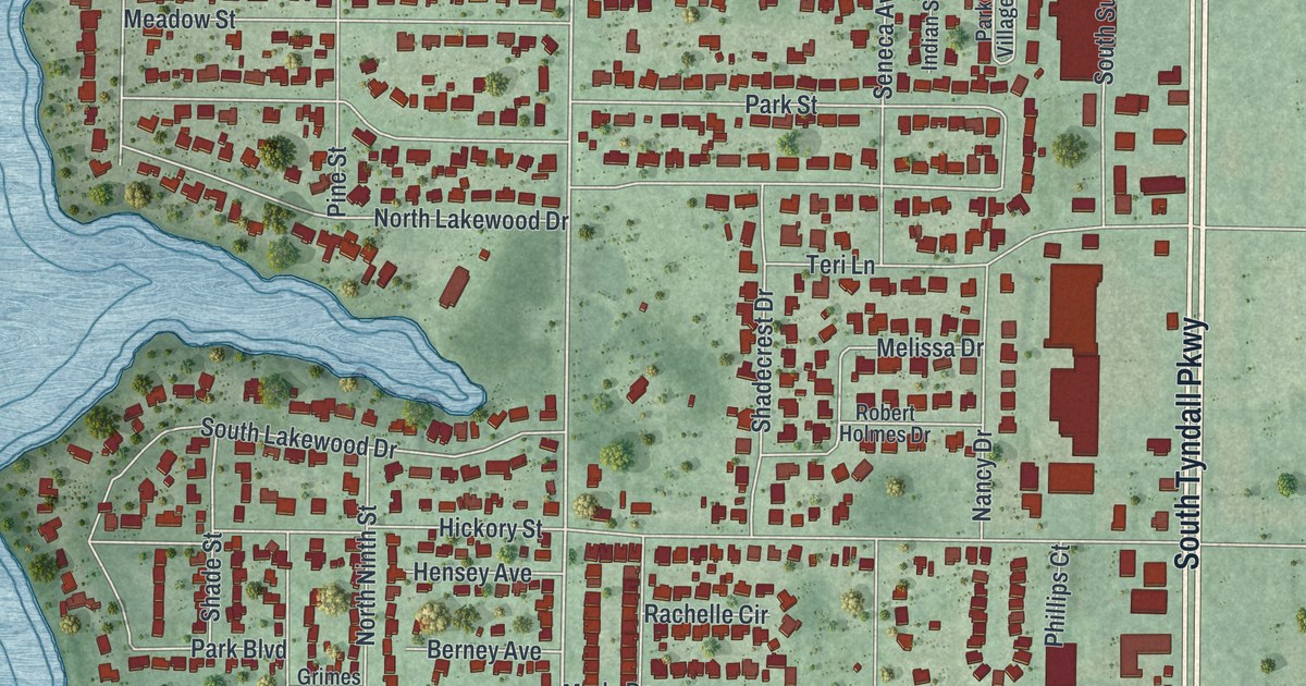
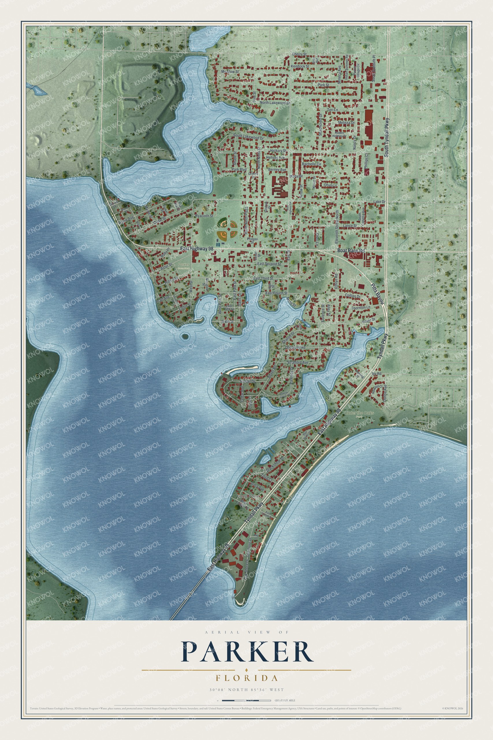
This beautifully detailed map of Parker, Florida was created in 2026 using aerial imagery combined with modern topographical, census, street and landmark data. It’s a one-of-a-kind view of Parker that combines accurate data with a vintage aesthetic. The map shows every building in its true location, many of the roads carry their names, and the shaded topographic relief shows the shape of the land.
Explore an aerial view of Parker, Florida
On the map you’ll find Long Point, Under the Oaks Park, Parker Cemetery, and Pitts Bayou, along with East Highway 98, Tyndall Parkway, South Tyndall Parkway, Boat Race Road, Soule Drive, Arrow Street, East Street, Sixth Street, and more. If you look closely you can even find your house accurately drawn in its correct location. Zoom in on the preview to look for yours.
Take a closer look at the Parker map
Names on this map
These names are printed on this map.
Places: Long Point, Under the Oaks Park and Parker Cemetery.
Streets and roads: East Highway 98, Tyndall Parkway, Pitts Bayou, South Tyndall Parkway, Boat Race Road, Soule Drive, Arrow Street, East Street, Sixth Street, North Lakewood Drive, Lake Drive, Hickory Street.
More street names, A to Z
Alford Street, Alley Street, Alma Avenue, Aster Street, Bay Lane, Berney Avenue, Blackshear Drive, Blue Harbor Drive, Cedar Avenue, Cedar Street, Center Street, Cheri Lane, Cherry Street, Collins Drive, Davis Lane, Donalson Road, Donna Avenue, Dover Road, East Cooper Drive, East Fifth Street, East Fourth Street, East Park Street, East Second Street, East Third Street, Eleventh Street North, Ethlyn Road, Fleming Street, Florence Street, Germain Street, Gilstrap Drive, Grimes Street, Hensey Avenue, High Street, Horne Avenue, Howard Court, Hyacinth Street, Indian Summer Road, Ivy Road, Julie Lane, Kendrick Street, Lance Street, Live Oak Street, Loftin Street, Logan Court, Magnolia, Maine Street, Marigold Street, Marla Drive, Meadow Street, Melissa Drive, Morris Drive, Moss Street, Nancy Drive, Nicole Drive, North Ninth Plaza, North Ninth Street, Oakshore Drive, Oak Shore Drive, Park Boulevard, Parker Street, Parker Village Circle, Park Street, Parkway Drive, Parkway Drive East, Phillips Court, Pine Street, Pitts Avenue, Pratt Avenue, Pridgen Street, Rachelle Circle, Robert Holmes Drive, Ruby Place, Seneca Avenue, Shadecrest Drive, Shade Street, Sharon Drive, Sims Avenue, South Camellia Avenue, South Lakewood Drive, South Sudduth Place, Stratford Avenue, Sunset Drive, Teri Lane, Third Court, Thornton Lane, Tiffany Lane, West Cooper Drive, West Park Street, West Street.
See it on a wall
The Parker map as a framed print. Swipe for more.


This beautifully detailed map of Parker makes an attractive addition to your office, library, or den, and it can even be used to teach children the geography and history of the area. It also makes a great gift for anyone who grew up in Parker or moved away. When you’re done exploring, click here to get your copy of the Parker map.