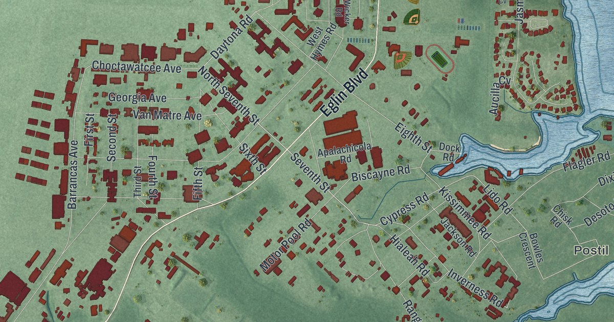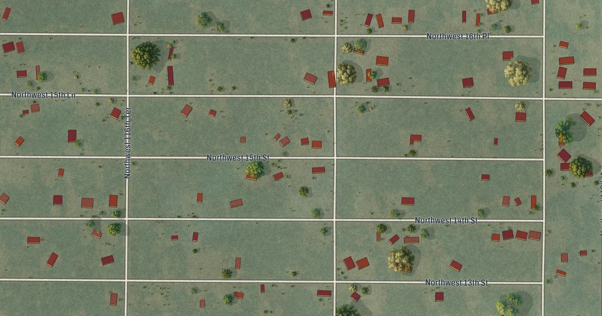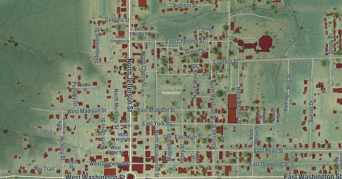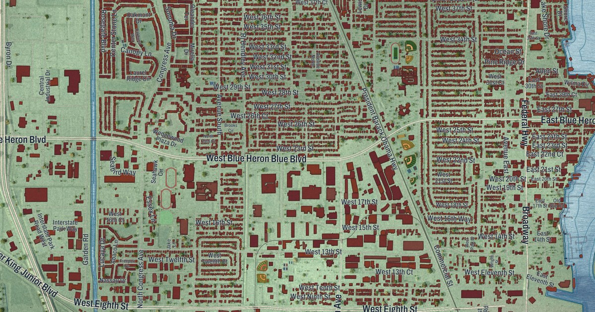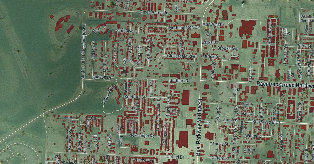
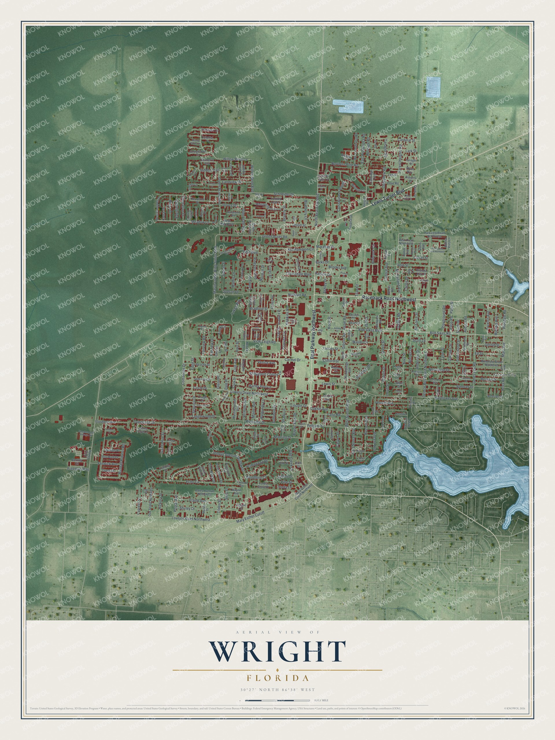
This beautifully detailed map of Wright, Florida was created in 2026 using aerial imagery combined with modern topographical, census, street and landmark data. It's a modern aerial view of Wright in Okaloosa County, Florida, that combines modern data with a vintage aesthetic. The roads feature printed names, and if you look closely you can find your exact house accurately shown in its correct location.
Explore an aerial view of Wright, Florida
On this map you'll find Ocean City, Lewis Turner Boulevard, Beal Parkway Northwest, Racetrack Road Northwest, Bob Sikes Boulevard, Bob Sikes Road, Lowery Drive Northwest, Meadow Lane, North Beal Extended, Michael Avenue, Central Avenue, Mary Avenue, and more. Each red shape is a building, so zoom in on the preview and look for yours.
Every town has a first chapter, and Wright is no exception. In 1958 the Wright Community Council gave land for a 4-H Club sweet potato project. Local 4-H members planted early sweets and Georgia reds there, with help from the Fort Walton Kiwanis Club, to raise money for club members going to camps and short courses. That's from the Citrus Industry magazine.
Wright is a community in Okaloosa County. The Census Bureau counted 26,277 people here in 2020. Wright sits about 2 miles northwest of Fort Walton Beach, 2 miles west of Ocean City and 2 miles northwest of Cinco Bayou. The map prints the town name in its title panel, with the coordinates below it.
Take a closer look at the Wright map
Names on this map
These names are printed on this map.
Places: Ocean City.
Streets and roads: Lewis Turner Boulevard, Beal Parkway Northwest, Racetrack Road Northwest, Bob Sikes Boulevard, Bob Sikes Road, Lowery Drive Northwest, Meadow Lane, North Beal Extended, Michael Avenue, Central Avenue, Mary Avenue, Martin Luther King Junior Boulevard.
More street names, A to Z
Air Force Street, Akron Street, Aloma Faye Lane, Anderson Drive, Apache Street, Ariel Lane, Ashley Drive, Aspen Court, Auburn Road, Audubon Drive, Barataria Lane, Barks Drive, Barley Port Lane, Bayou View Drive, Bear Road Northwest, Bennett's End, Bentley Circle, Beulah Street, Beverly Street, Bishop Road, Blueberry Lane, Bradford Place, Bradford Street, Brick Circle, Bridgeport Colony Lane, Brooks Avenue, Buena Vista Lane, Buena Vista Lane Northwest, Burgundy Lane, Canopy Lane, Cardinal Street, Carlos Drive, Carmel Drive, Casper Drive, Catherine Court, Cathridge Trce, Center Street, China's Cv, Circle Drive, Claeven Circle, Clark Drive, Classic Court, Clifford Street, Cloverdale Boulevard, Cloverdale Court, Colonial Court, Colonial Drive, Comanche Drive, Conservation Trail, Corvet Street, Creel Street, Crosswinds Landing, Crowder Court, Culp Avenue, Cypress Street, Dale Place, Dates Avenue Northwest, Dawes Road, Dee Street, Denton Boulevard Northwest, Dock's Place, Dona Avenue, Dove Road, Doyce Drive, Dubois Drive, Duloft Street, Dunwoody Place, East Ponderosa Road, East Sunset Boulevard, Eccles Road, Echo Circle, Edenfield Drive, Edge Street, Ed Street, Elaine Avenue, Ella Ruth Drive, Emerald Lane, Emily Circle, Estival Street, Fairview Drive, Fairview Road, Falcon Ridge Lane, Fenwick Avenue, Ferretti Avenue, Florence Avenue, Forest Grove Place, Forest Heights Road, Freedom Self Storage Road, Freedom Way, Gail la Rue Street, Gap Creek Drive, Garfield Drive, Georgetown Lane, Gerold Street, Gibson Road, Gibson Street, Glenn Place, Gloria Avenue, Gospel Road, Green Acres Avenue, Green Acres Boulevard, Green Acres Road, Greendale Avenue, Green Street, Green Tree Court, Greenwood Street, Hart Street, Hawkins Road, Hazel Drive, Hazel Road, Heartland Drive, Heritage Road, Heritage Way, Hickory Street, Hidden Trail, Holbrook Circle, Holton Avenue, Homewood Drive, Hondo Avenue, Hospital Drive, Hunt Club Street, Hurlburt Road, Ibis Way, Inez Street, Ironwood Drive, James Court, James Lee Road, Jay Street, Jennifer Court, Jerrells Avenue, Jimmy Street, Joellen Lane, John Wayne Circle, Jonleen Drive, Jonquil Avenue Northwest, Joy Drive, Joyner Drive, Judson Drive, Judson Street, Julia Street, Justin Street, Kadima Circle, Kehlhem Road, Kenzie Lane, Koon Street, Kruse Drive, Lacy Lane, Lafitte Crescent, Landry Street, Landview Drive, Lang Road, Lark Street, Lauderhill Lane, Lawton Court, Lee Street, Lewis Street, Lincoln Drive, Linda Cv, Live Oak Street, Lloyd Street, Loblolly Court, Lost Trail, Lovejoy Road Northwest, Lukes Way, Lynn Street, Maine Avenue, Manring Drive, Mark Street, Marler Drive, Mart Avenue, Mar Walt Drive, Mary Esther Cutoff, Mary Esther Cutoff Northwest, Massachusetts Avenue, Mathis Lane, Mayflower Avenue, Mc Farland Avenue, Meadow Court, Mixon Drive, Navy Street, Newcastle Drive, Norman Drive, Northampton Circle, Northern Pine Road, North Park Boulevard, Oakhill Avenue, Oaklawn Street, Oakridge Road, Oak Street Northwest, Oddfellow Road, Old Ranch Road, Olympia Court, Osage Drive, Overbrook Drive, Pacific Silver Court, Park Drive, Parkview Road Northwest, Patio Road, Patio Street, Patricia Lane, Patrick Drive, Pawnee Circle, Pelham Road, Penecost Way, Pine Alley Street, Pine Cone Drive, Pinedale Road, Pinedale Way, Pine Moss Drive, Pine Street, Pineview Boulevard, Pinewood Terrace, Playground Road, Pointed Leaf Lane, Poplar Avenue, Poppy Street, Prince Street, Priscilla Drive, Rachel Drive, Randall Roberts Road, Reeves Drive, Revere Drive, Rhonda Kay Court, Richpien Road, Riverside Drive, Roanoke Court, Roberts Drive, Rosemont Street, Ross Road, Roy Street, Russell Boulevard, Saddle Creek Drive, Scenic Oak Lane, Schneider Drive, Scott Lane, Scout Trail, Seminole Street, Sequoia Drive, Shady Lane, Shady Lane Drive, Shady Street, Shirley Drive, Short Street, Sims Street, Sioux Circle, Slash Pine Court, Sod Drive, Somerset Drive, South Drive, Spencer Drive, Spruce Court, Stable Lane, Stafford Street, Stella Lane, Summer Hills Lane, Sutton Place, Swan Lane, Tanager Road, Tanager Street, Tanglewood Drive, Thomason Drive, Throwbridge Avenue, Tilden Street, Titan Court, Tray Drive, Trent Street, Truxton Avenue, Tyner Street, Union Street, Valencia Drive, Valeria Street, Venice Avenue, Verb Street, Vermont Avenue, Vicki Leigh Road, Vincent Avenue, Viola Drive, Vita Lane, Walter Circle, Wayne Avenue, Webster Street, Weeks Road, West Campbell Drive, West Ponderosa Road, West Sunset Boulevard, Westwood Drive, Whispering Oaks Lane, Williams Court, Willow Bend Boulevard, Willow Bend Lane, Willow Grove Lane, Witshire Court, Woodbine Circle, Woodfern Path, Woodlawn Avenue, Woodrow Street Northeast, Wyatt Way, Yancey Street, Yorktown Circle, Zion Boulevard.
See it on a wall
The Wright map as a framed print. Swipe for more.


Created by KNOWOL in 2026. The buildings are small red shapes, the roads carry their printed names, and shaded relief shows the shape of the land. The title panel reads "AERIAL VIEW OF WRIGHT, FLORIDA" with 30°27' NORTH 86°38' WEST.
Hang it in the hallway, the office or the cabin, or give it to someone who left Wright and still calls it home. Open the preview and look for a street you know. See sizes and frames for the Wright map.