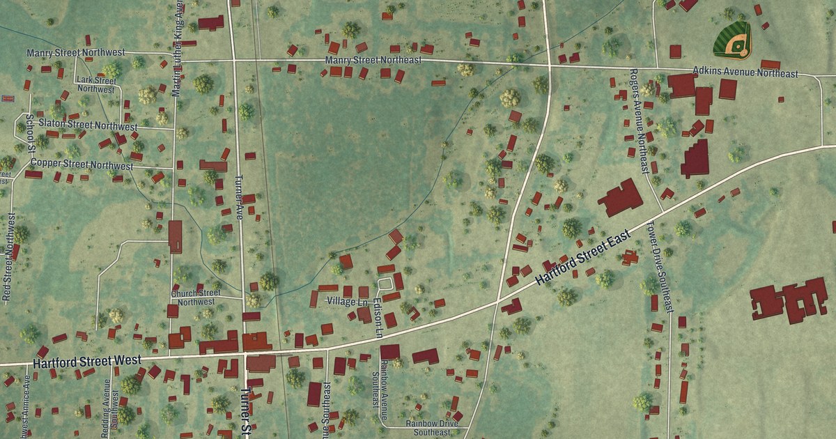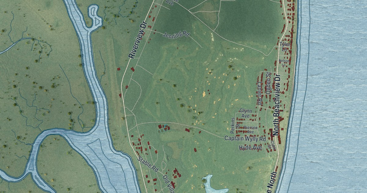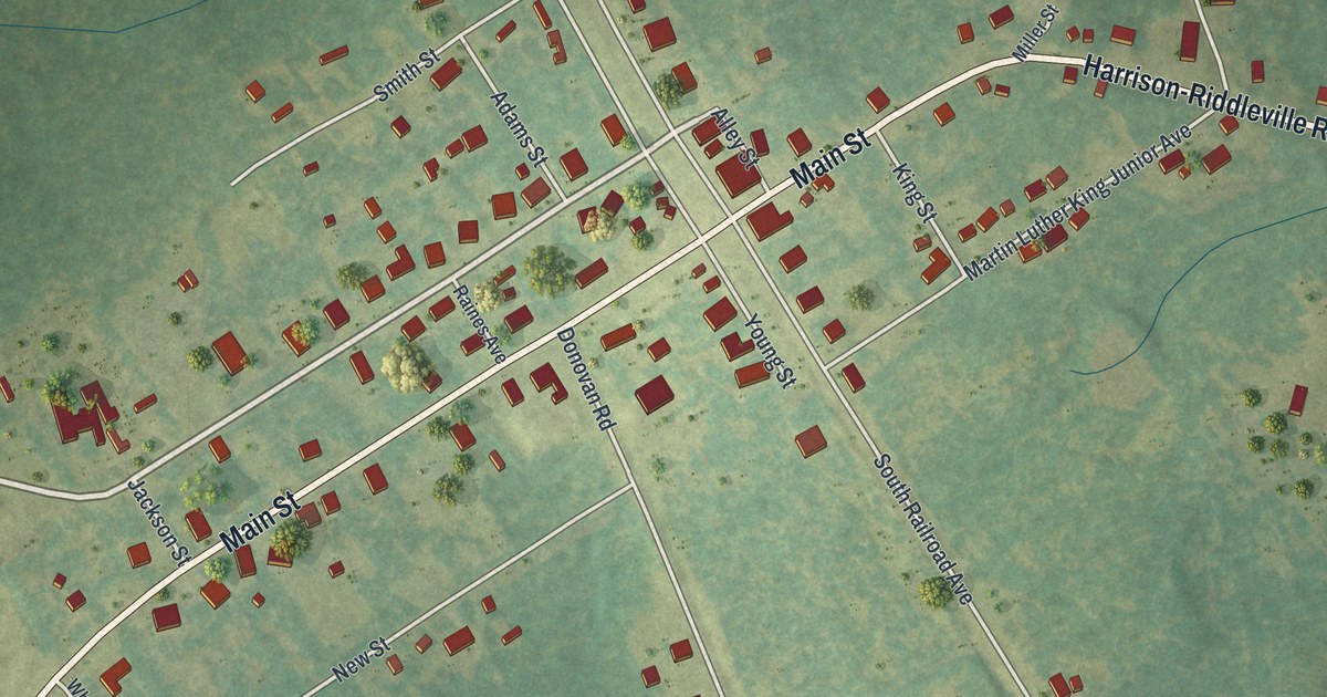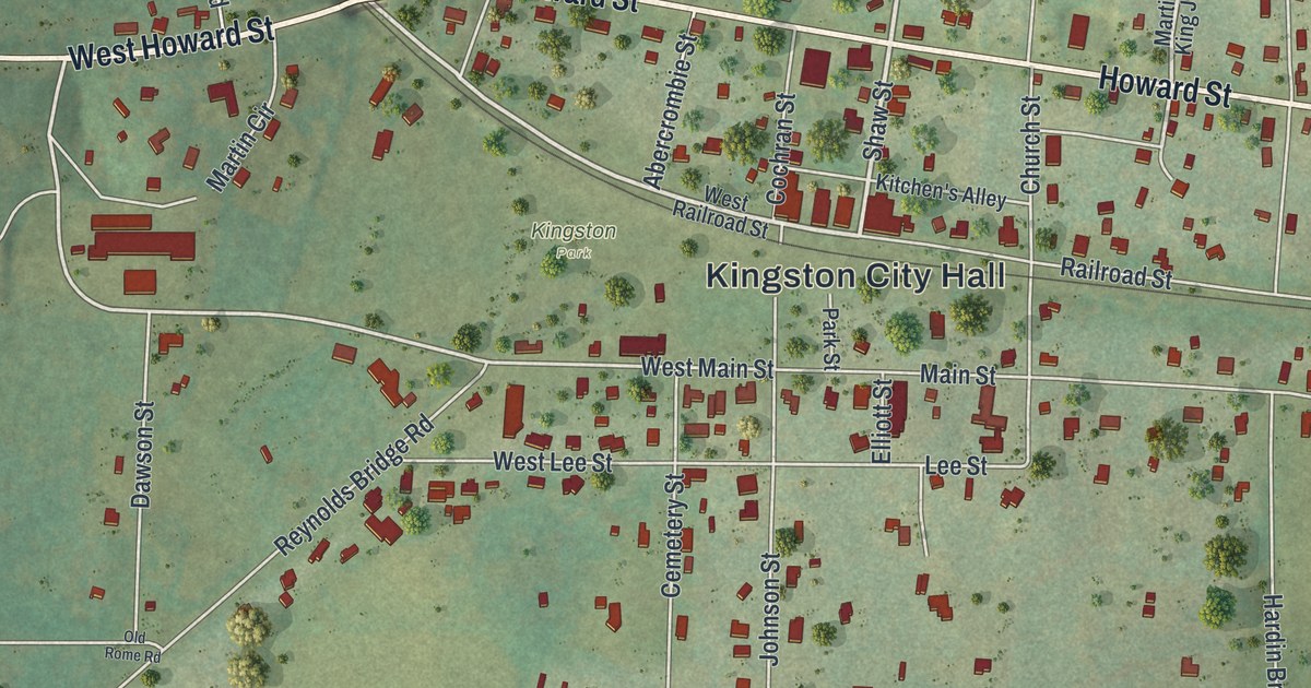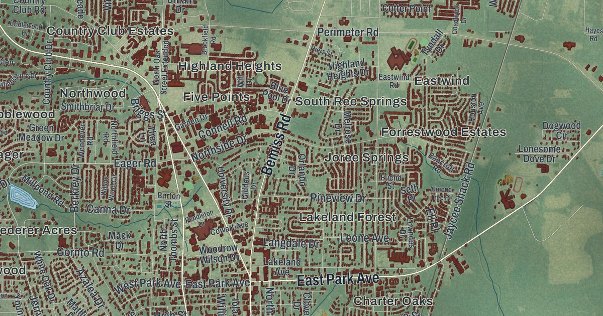
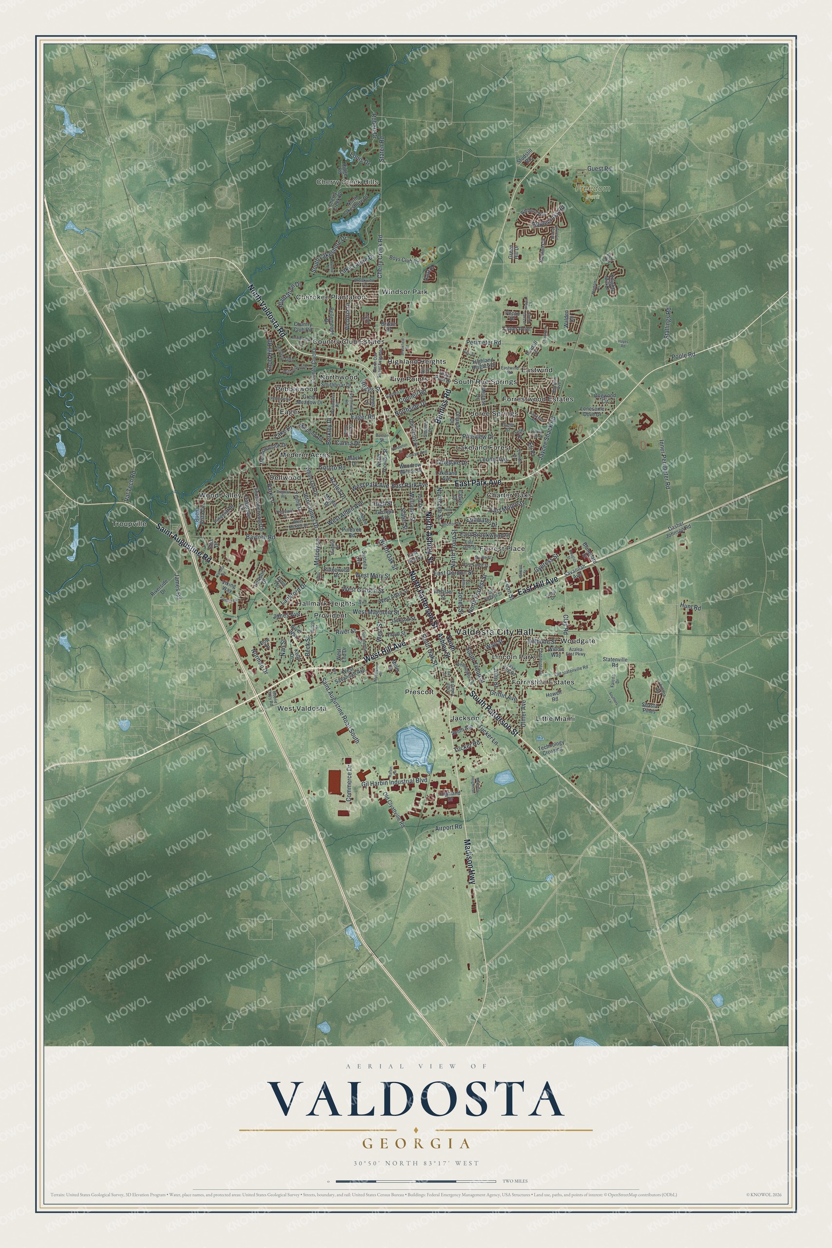
This beautifully detailed map of Valdosta, Georgia was created in 2026 using aerial imagery combined with modern topographical, census, street and landmark data. It’s a one-of-a-kind view of Valdosta that combines accurate data with a vintage aesthetic. The map shows every building in its true location, many of the roads carry their names, and the shaded topographic relief shows the shape of the land.
Explore an aerial view of Valdosta, Georgia
On the map you’ll find Valdosta City Hall, Cherry Creek Hills, Charter Oaks, Cherokee Plantation, Dellwood, Eager, and Freedom Park, along with Ashley Street, Patterson Street, Saint Augustine Road, Hill Avenue, and more. If you look closely you can even find your house accurately drawn in its correct location. Zoom in on the preview to look for yours.
Did You Know?
Valdosta took its name from the plantation of Governor George Troup. Troup had named his plantation for the Aosta Valley in Italy. That valley’s name honors the Roman emperor Augustus. So a south Georgia city carries a name that reaches back to ancient Rome.
Take a closer look at the Valdosta map
Names on this map
These names are printed on this map.
Places: Valdosta City Hall, Cherry Creek Hills, Freedom Park, Charter Oaks, Cherokee Plantation, Country Club Estates, Dellwood, Eager, Eastwind, Five Points, Forrest Place, Forresthill Estates, Forrestwood Estates, Hallmark Heights, Highland Heights, Jackson, Joree Springs, Lakeland Forest, Lincoln Park, Little Miami, Mederer Acres, Northwood, Pebblewood, Prescott, Provident, South Ree Springs, Troupville, West Valdosta, Windsor Park, Wood Valley and Woodgate.
Streets and roads: North Ashley Street, North Patterson Street, Saint Augustine Road, South Patterson Street, West Hill Avenue, East Hill Avenue, North Valdosta Road, East Park Avenue, Madison Highway, Bemiss Road, Saint Augustine Road South, Eager Road.
More street names, A to Z
Airport Road, Alene Way, Almond Tree Place, Applecross Road, Azalea Drive, Azalea East Parkway, Bancroft Road, Bay Street, Baytree Road, Beck Street, Bellemeade Drive, Berkley Drive, Bethune Street, Beulah Circle, Blanchard Street, Blitch Street, Blue Pool Drive, Boone Dairy Road, Boone Drive, Boys Club Road, Branch Point Drive, Bridlewood Drive, Briggs Street, Brighton Road, Britain Drive, Broad Street, Brookfield Road, Brookview Terrace, Buena Vista Circle, Burton Street, Canna Drive, Chadwyck Drive, Cherry Creek Drive, Cherry Creek Road, Clay Road, Clover Drive, Commerce Drive, Connell Road, Continental Drive, Country Club Drive, Country Club Road, Cowart Avenue, Cutter Point, Cypress Street, Dasher Johnson Road, Dogwood Circle, Douglas Street, Dow Street, Druid Oaks Drive, East Ann Street, East Brookwood Place, East Force Street, East Gordon Street, East Jane Street, East Moore Street, East Rogers Street, Eastwind Road, Eli Place, Ellis Drive, Euclid Street, Falcon Drive, Floyd Street, Fontana Road, Garden Drive, Georgia Avenue, Giddens Drive, Gil Harbin Industrial Boulevard, Gornto Road, Green Hill Drive, Green Meadow Drive, Griffin Avenue, Guest Road, Harbin Circle, Harmon Drive, Hayes Road, Hiers Street, Highland Drive, Highland Heights Drive, High Street, Holly Drive, Houston Avenue, Howell Lane, Howell Road, Hunters Glen, Hunt Road, Hutto Street, Inner Perimeter Road, Iola Drive, Jackson Street, James Road, Jaycee Shack Road, Jerry Jones Drive, John Street, Jones Avenue, Jones Street, Kelly Drive, Knights Mill Drive, Knob Hill Road, Lake Drive, Lakeland Avenue, Lake Laurie Drive, Lake Park Road, Lamar Street, Langdale Drive, Lankford Drive, Lenox Drive, Leone Avenue, Leon Street, Linzie Drive, Loch Laurel Street, Lonesome Dove Drive, Louis Drive, Lowndes Drive, Lynn Terrace, Mack Drive, Madison Heights Drive, Mathis Drive, Meadowbrook Drive, Melody Lane, Melrose Drive, Mildred Street, Miller Street, Millpond Road, Miramar Street, Myddleton Road, Myrtle Street, Nan Street, Napa Drive, Norman Drive, Northfield Road, North Forrest Street, North Lakeshore Drive, North Lee Street, North Oak Street, North Oak Street Extended, Northside Drive, North Toombs Street, North Troup Street, Norton Place, Oakgrove Circle, Old Clyattville Road, Old Statenville Road, Orlando Drive, Park Lane, Pebblewood Drive, Pecan Drive, Pendleton Drive, Perimeter Road, Pinecliff Drive, Pinetree Road, Pineview Drive, Plantation Drive, Poole Road, Ray Lane, Ridge Road, Ridgewood Drive, Riverside Drive, River Street, River Way, Robert Drive, Savannah Avenue, Seth Place, Shasta Pines, Slater Street, Smith Avenue, Smithbriar Drive, South Ashley Street, Southers Lane, South Lakeshore Drive, South Oak Street, South Sherwood Drive, South Troup Street, Stallings Road, Staten Road, Statenville Road, Stillwater Drive, Studstill Road, Summerlin Street, Sustella Avenue, Technology Crossing, Thea Lane, Thomwal Street, Tucker Lane, Tucker Road, Tyndall Drive, Ulmer Avenue, University Drive, Vahalla Road, Valerie Place, Valhalla Drive, Vallotton Drive, Val Tech Road, Victoria Drive, Viking Way, Walden Road, Way Street, Webster Street, Wendover Road, West Adair Street, West Alden Avenue, West End Drive, West Gordon Street, West Magnolia Street, West Mary Street, West McRee Drive, West Park Avenue, West Savannah Avenue, West Street, White Oak Drive, Whithorn Way, Will Drive, Williamsburg Drive, Williams Street, Willow Way, Willow Wood Circle, Wisenbaker Lane, Woodrow Wilson Drive, Young Drive.
See it on a wall
The Valdosta map as a framed print. Swipe for more.


This beautifully detailed map of Valdosta makes an attractive addition to your office, library, or den, and it can even be used to teach children the geography and history of the area. It also makes a great gift for someone who left Valdosta and still calls it home. When you’re done exploring, click here to get your copy of the Valdosta map.