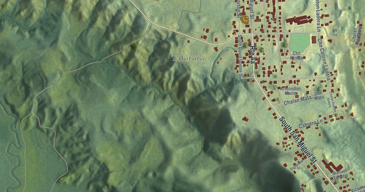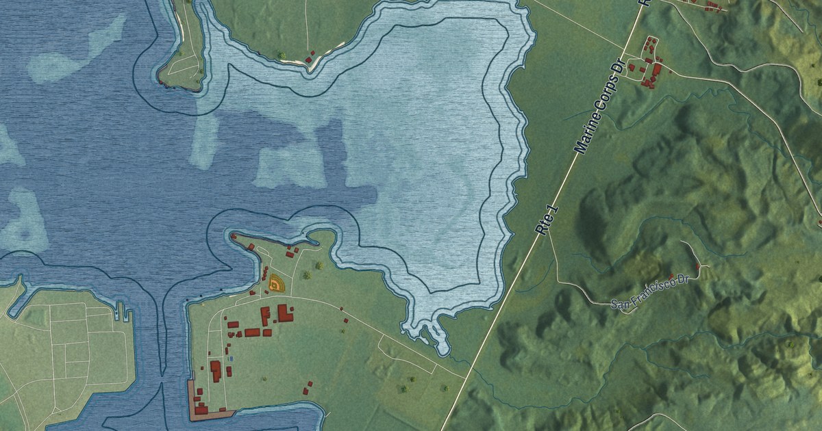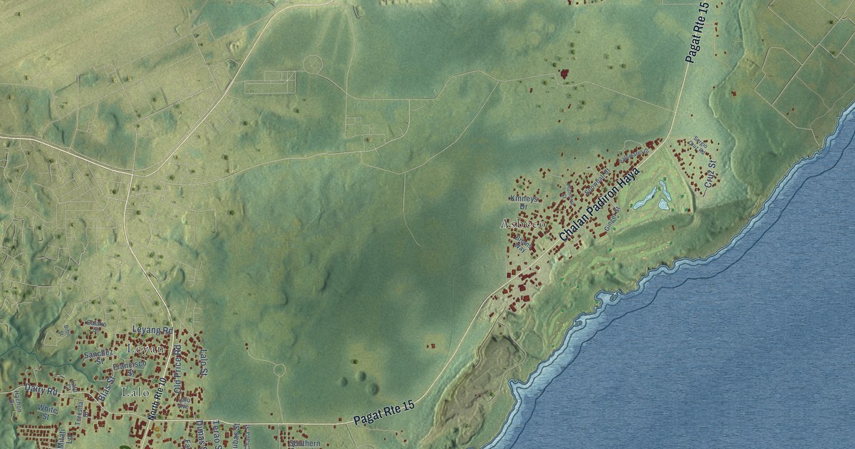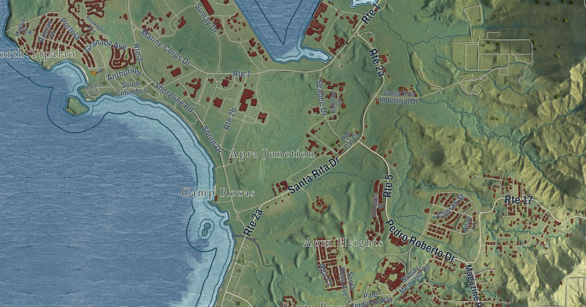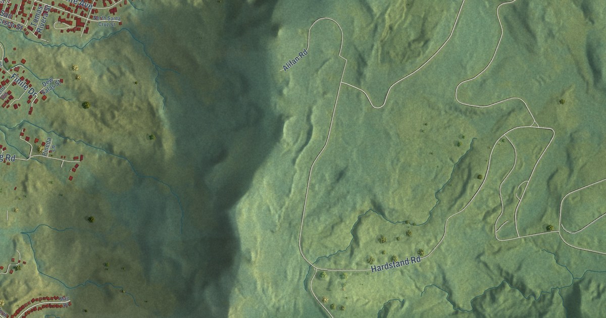
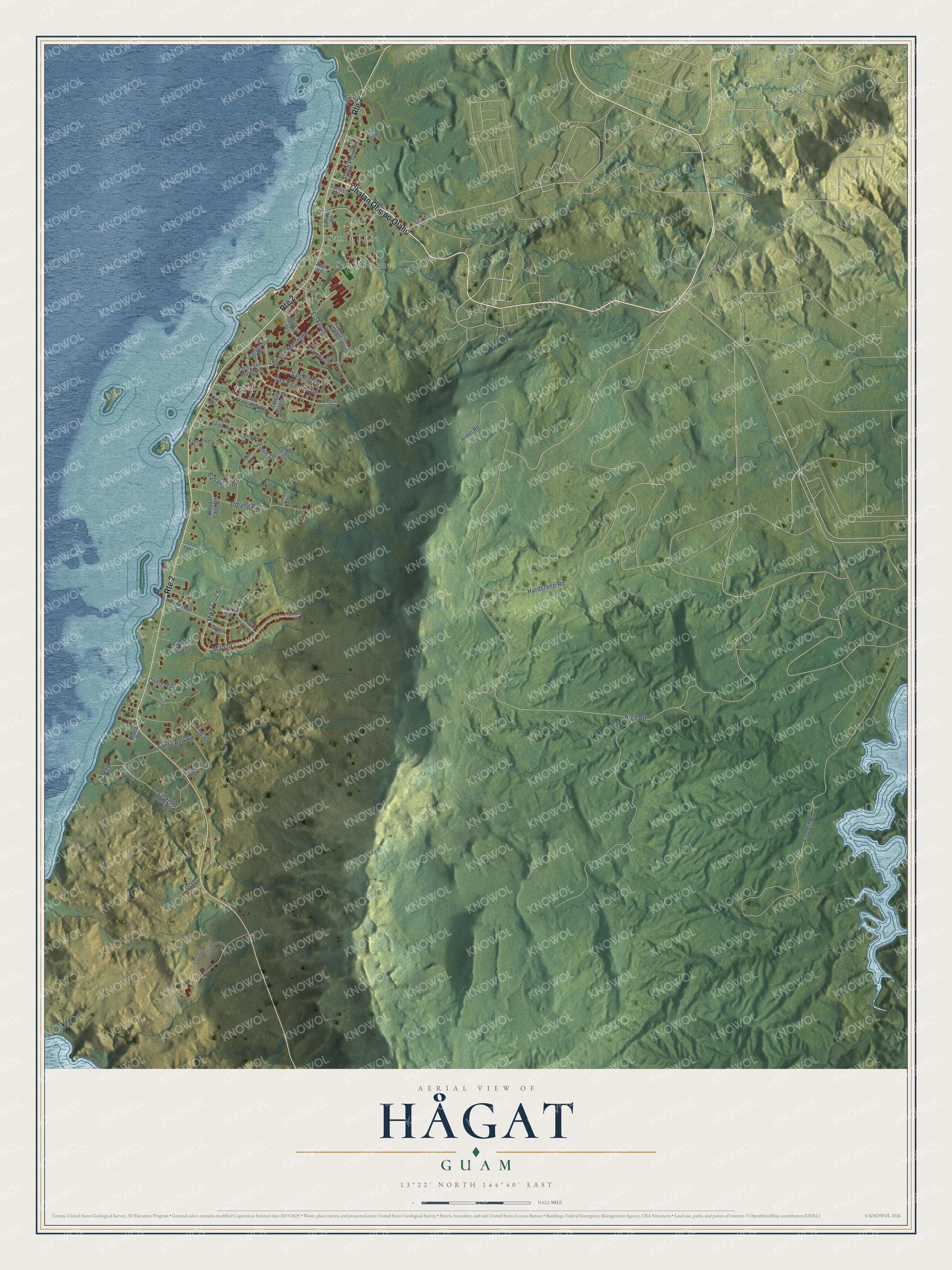
This beautifully detailed map of Hågat, Guam was created in 2026 using aerial imagery combined with modern topographical, census, street and landmark data. It's a modern aerial view of the village of Hågat, Guam, that combines modern data with a vintage aesthetic. The roads feature printed names, and if you look closely you can find your exact house accurately shown in its correct location.
Explore an aerial view of Hågat, Guam
On this map you'll find Agat, Santa Rosa, San Vicente, Chalan Obispo Olano, Mao Drive, High Road, Erskin Drive, Eod Pit Road, Hardstand Road, Santa Ana Road, San Vicente Avenue, De Los Marteres, and more. Each red shape is a building, so zoom in on the preview and look for yours.
Hågat has a story worth telling. The Guampedia puts it this way: "The village of Hågat may have been named by the first clan who came to settle in the area from the northern part of Guam."
Hågat is one of the 19 villages of Guam. The Census Bureau counted 4,515 people here in 2020.
Take a closer look at the Hågat map
Names on this map
These names are printed on this map.
Places: Agat, Santa Rosa and San Vicente.
Streets and roads: Chalan Obispo Olano, Route 2, Mao Drive, High Road, Erskin Drive, Eod Pit Road, Hardstand Road, Santa Ana Road, San Vicente Avenue, De Los Marteres, Umang Road, Finile Drive.
More street names, A to Z
Alifan Road, Asusena Street, Atao Road, Babauta Road, Chaco Road, Chalan Lada, Chalan Lanchero, Chalan Reyes, Chalan Torres-Adventista, Chele Road, Cll de Los Marteres, Cruz Street, Dew Salas Street, Duenas Street, East Santa Ana Drive, Ferdinan Way, Follard Street, Geiger Street, Herrera Lane, Iloilo Circle, Kiko Chela Street, Manha Street, Mao Court, Mike Cruz Street, North Kalachucha Street, North Santa Cruz Street, Orong Circle, Pagachao Drive, Pineda Lane, Rosa Casil Road, S-29, S-31, S-44, Salinas Road, San Francisco Street, San Roque Street, South Comm Charfauros Court, South Perino Street, Tomas Rivera Street, Torres Street, Tun Leon Road, West Santa Anna Road.
See it on a wall
The Hågat map as a framed print. Swipe for more.


Created by KNOWOL in 2026. The buildings are small red shapes, the roads carry their printed names, and shaded relief shows the shape of the land. The title panel reads "AERIAL VIEW OF HÅGAT, GUAM" with 13°22' NORTH 144°40' EAST.
It looks right in a kitchen, an office or a den, and it's a gift for anyone who grew up in Hågat or moved away. Open the preview and find your street. See sizes and frames for the Hågat map.