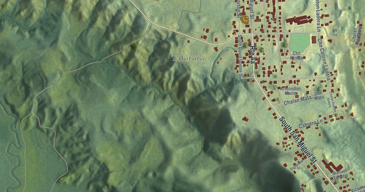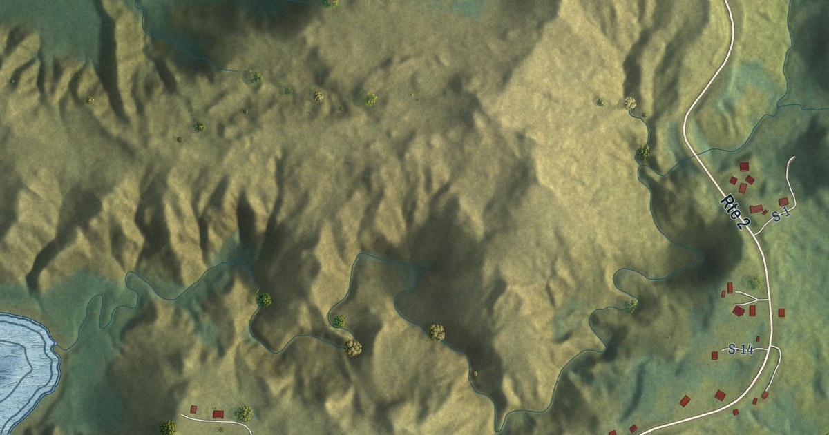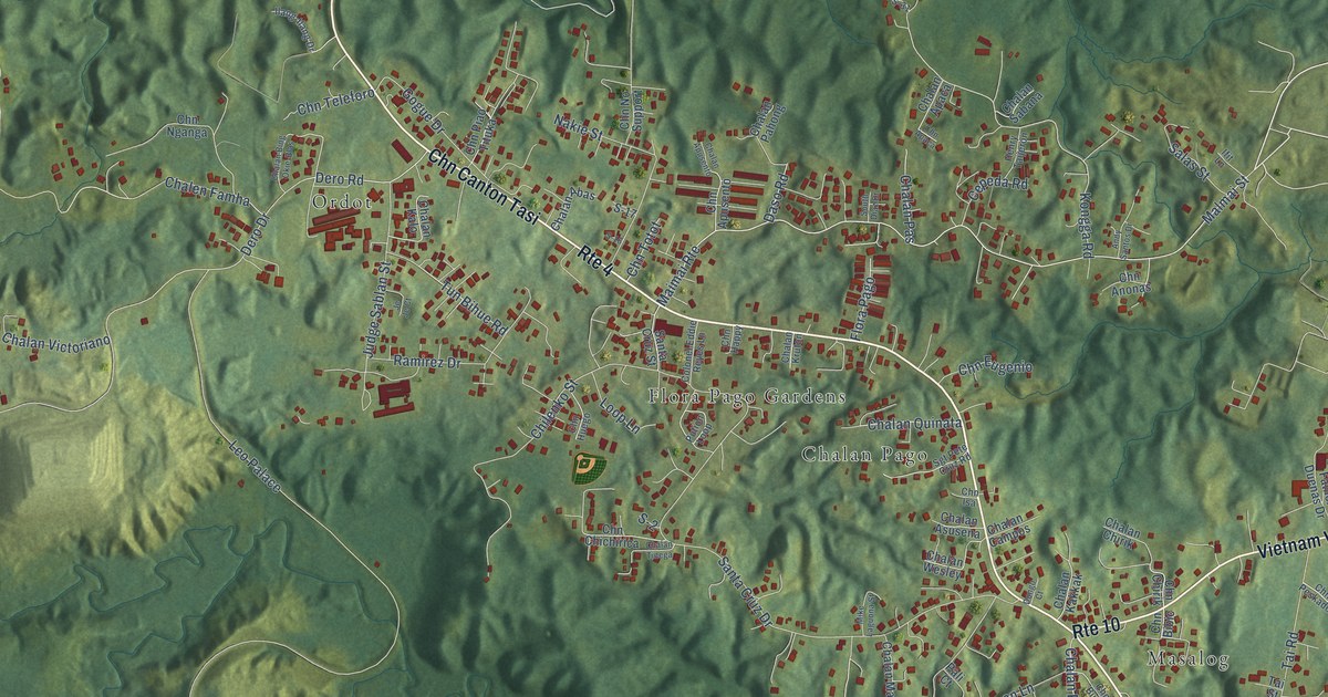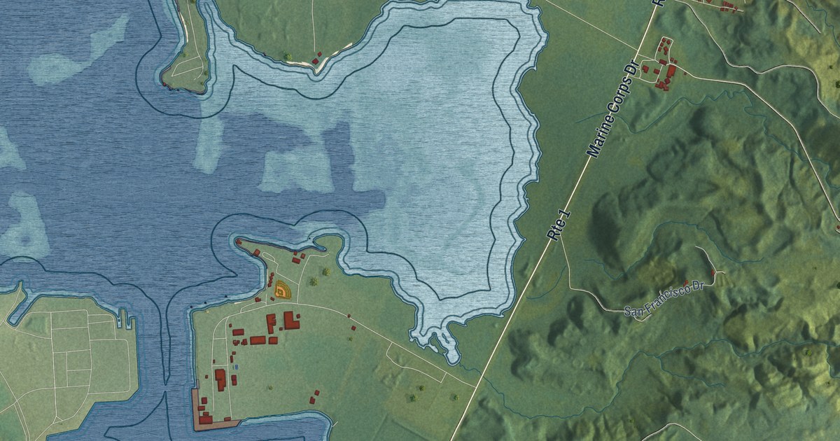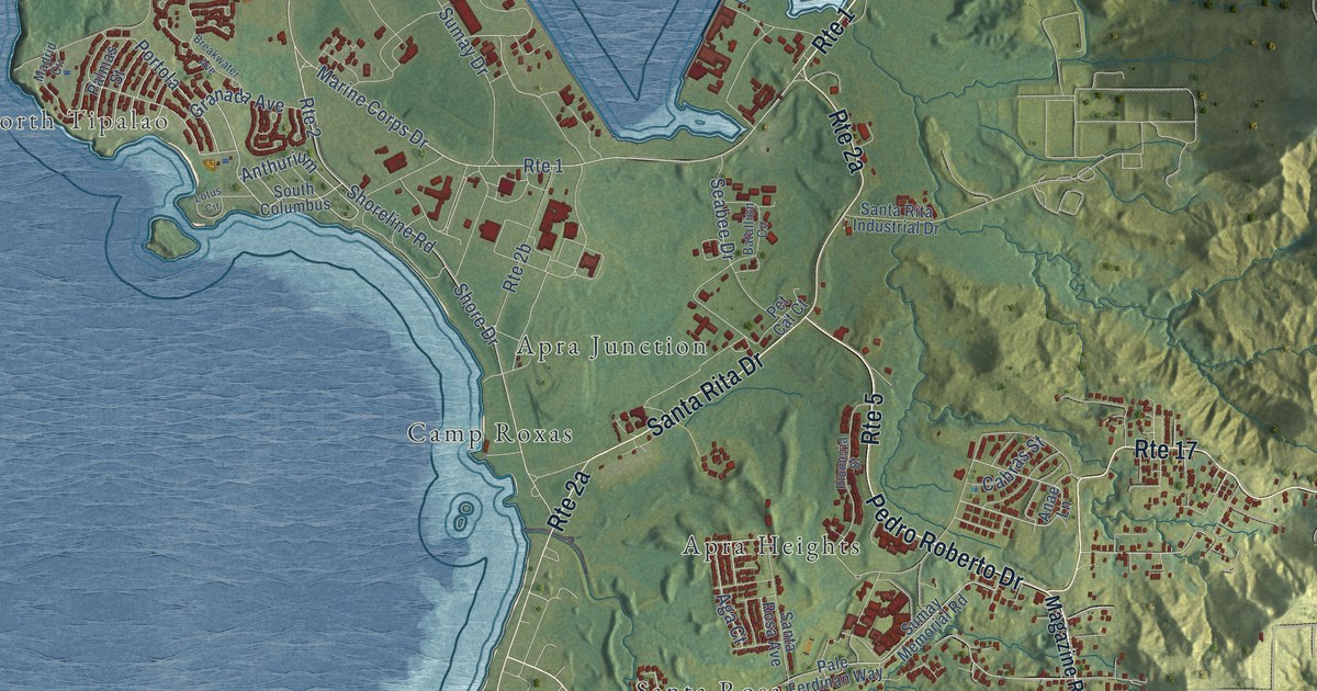
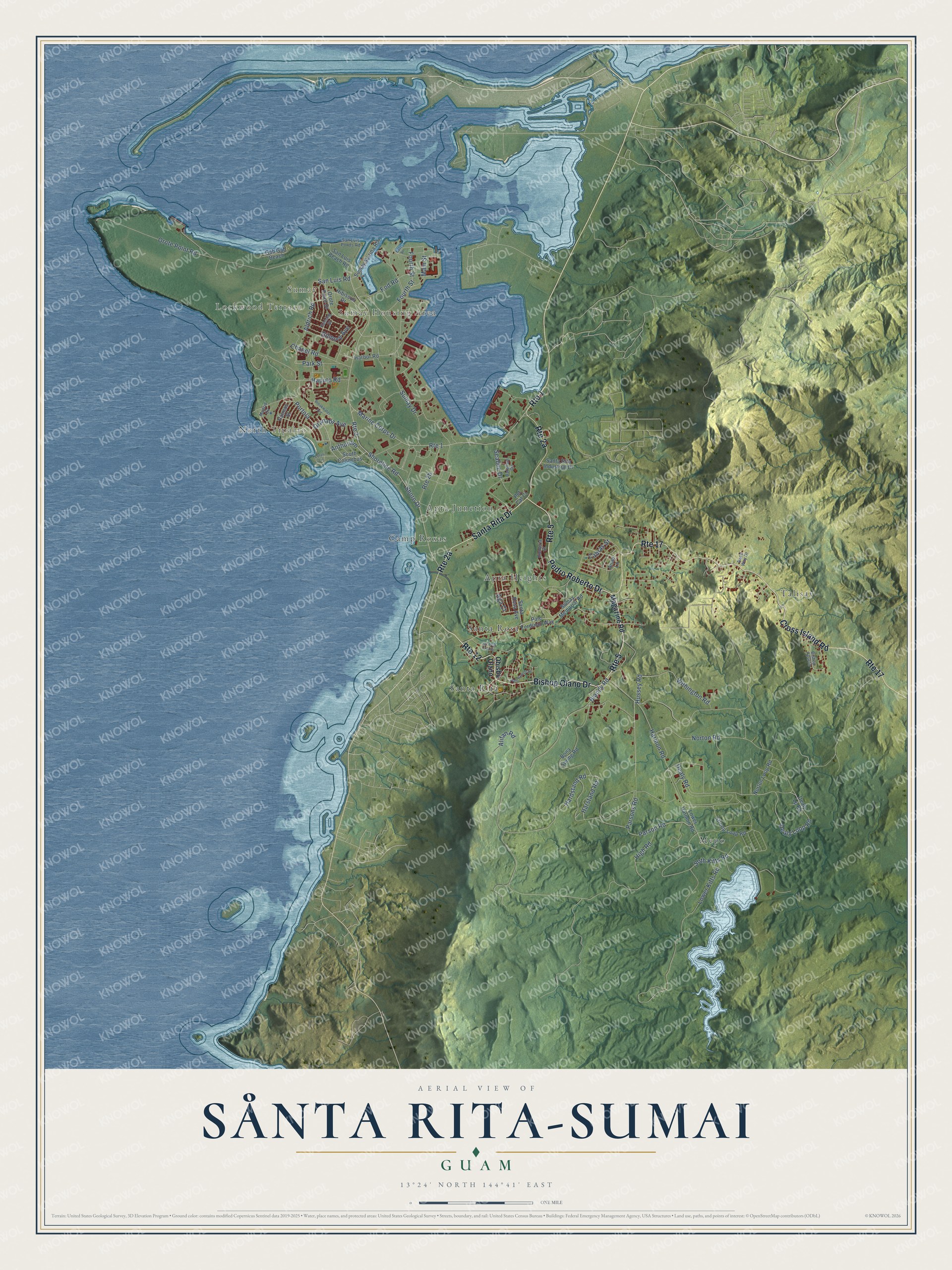
This beautifully detailed map of Sånta Rita-Sumai, Guam was created in 2026 using aerial imagery combined with modern topographical, census, street and landmark data. It's a modern aerial view of the village of Sånta Rita-Sumai, Guam, that combines modern data with a vintage aesthetic. The roads feature printed names, and if you look closely you can find your exact house accurately shown in its correct location.
Explore an aerial view of Sånta Rita-Sumai, Guam
On this map you'll find Lockwood Terrace, Sumay Housing Area, Sumay, North Tipalao, Mepo, Apra Heights, Talisay, Camp Roxas, Santa Rita, Santa Rosa, Apra Junction, Bishop Olano Drive, and more. Each red shape is a building, so zoom in on the preview and look for yours.
Here is a piece of Sånta Rita-Sumai history, in the words of the record. The Guampedia puts it this way: "Sånta Rita-Sumai’s village name is taken from its patron saint, St. Rita of Cascia."
Sånta Rita-Sumai is one of the 19 villages of Guam. The Census Bureau counted 6,470 people here in 2020.
Take a closer look at the Sånta Rita-Sumai map
Names on this map
These names are printed on this map.
Places: Lockwood Terrace, Sumay Housing Area, Sumay, North Tipalao, Mepo, Apra Heights, Talisay, Camp Roxas, Santa Rita, Santa Rosa and Apra Junction.
Streets and roads: Route 1, Bishop Olano Drive, Pedro Roberto Drive, Route 12, Santa Rita Drive, Cross Island Road, Route 17, Route 5, Aldrich Road, Park Street, Orote Point Road, Blandy Road.
More street names, A to Z
Aga Court, Alifan Road, Anae Lane, Anthurium, Batallion Circle, Bishop Apuron, Bona Spring Road, Breakwater Avenue, Cabras Street, Chapel Road, Dealy Loop Road, Dealy Lp Road, Dealy Road, East Street, Eod Road, Fleming Street, Fourth Street, Gab Gab Beach, Gilmore Avenue, Granada Avenue, Haputo Road, Harbor Road, Hardstand Road, Harmon Road, Harstand Road, Hibiscus Drive, High Road, Hussey Road, Lotus Circle, Lower Harmon Road, Lower Kitts Road, Madrid Circle, Magazine Road, Main Street, Marine Corps Drive, Norton Loop Road, Norton Road, Obisbo Olano, Orote Point Drive, Pale Ferdinan Way, Pale Ramon Street, Palmas Street, Parson Road, Parsons Road, Pet Cat Court, Plumeria Street, Portola, Race Way Drive, Route 2, San Luis Beach Road, San Luis Ponds Road, San Luis Road, Santa Rita Industrial Drive, Santa Rosa Avenue, Seabee Drive, Sgt East Cruz Street, Shore Drive, Shoreline Road, Soth Kitts Road, South Columbus, Stroop Loop Road, Sumay Drive, Sumay Marina Road, Sumay Memorial Road, Withington Road.
See it on a wall
The Sånta Rita-Sumai map as a framed print. Swipe for more.


Created by KNOWOL in 2026. The buildings are small red shapes, the roads carry their printed names, and shaded relief shows the shape of the land. The title panel reads "AERIAL VIEW OF SÅNTA RITA-SUMAI, GUAM" with 13°24' NORTH 144°41' EAST.
It suits a den, a classroom or a front hall, and it makes a gift for anyone with Sånta Rita-Sumai roots. Open the preview and find the block you know. See sizes and frames for the Sånta Rita-Sumai map.