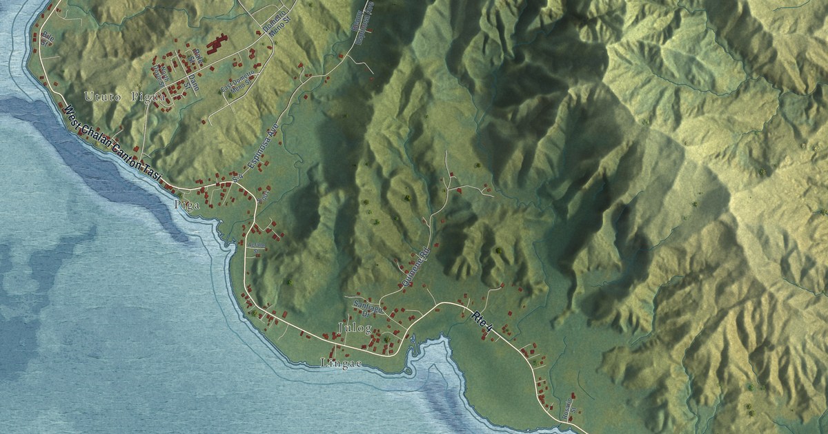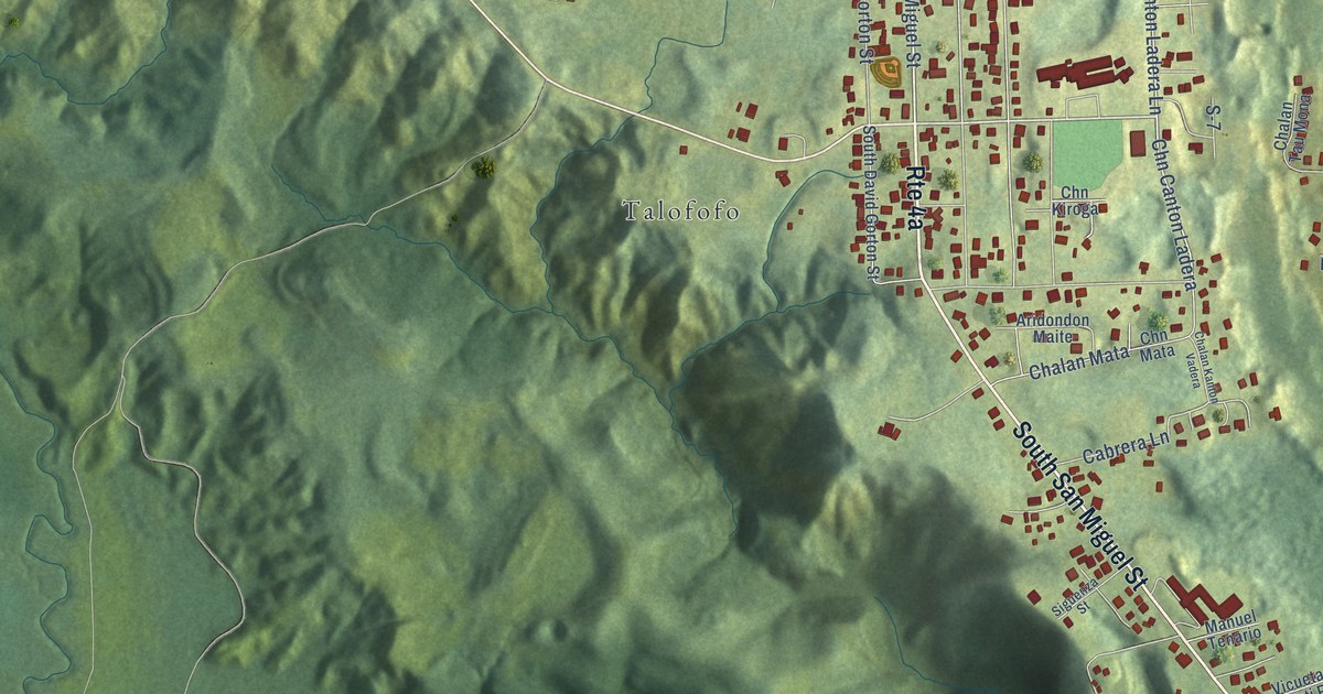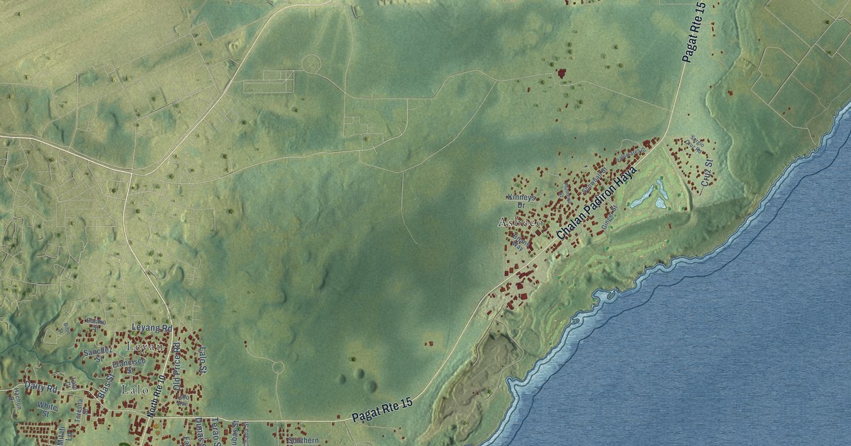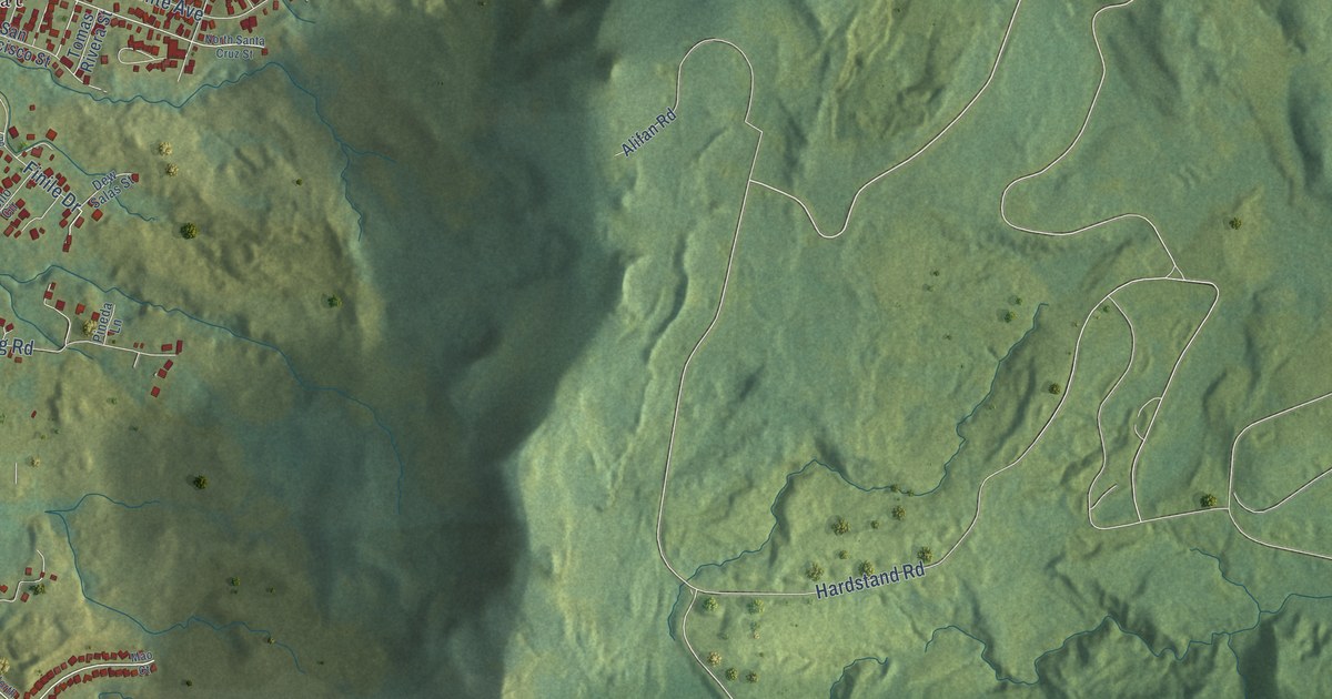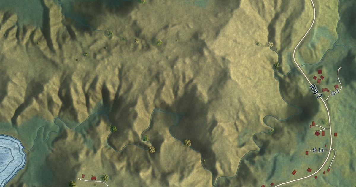
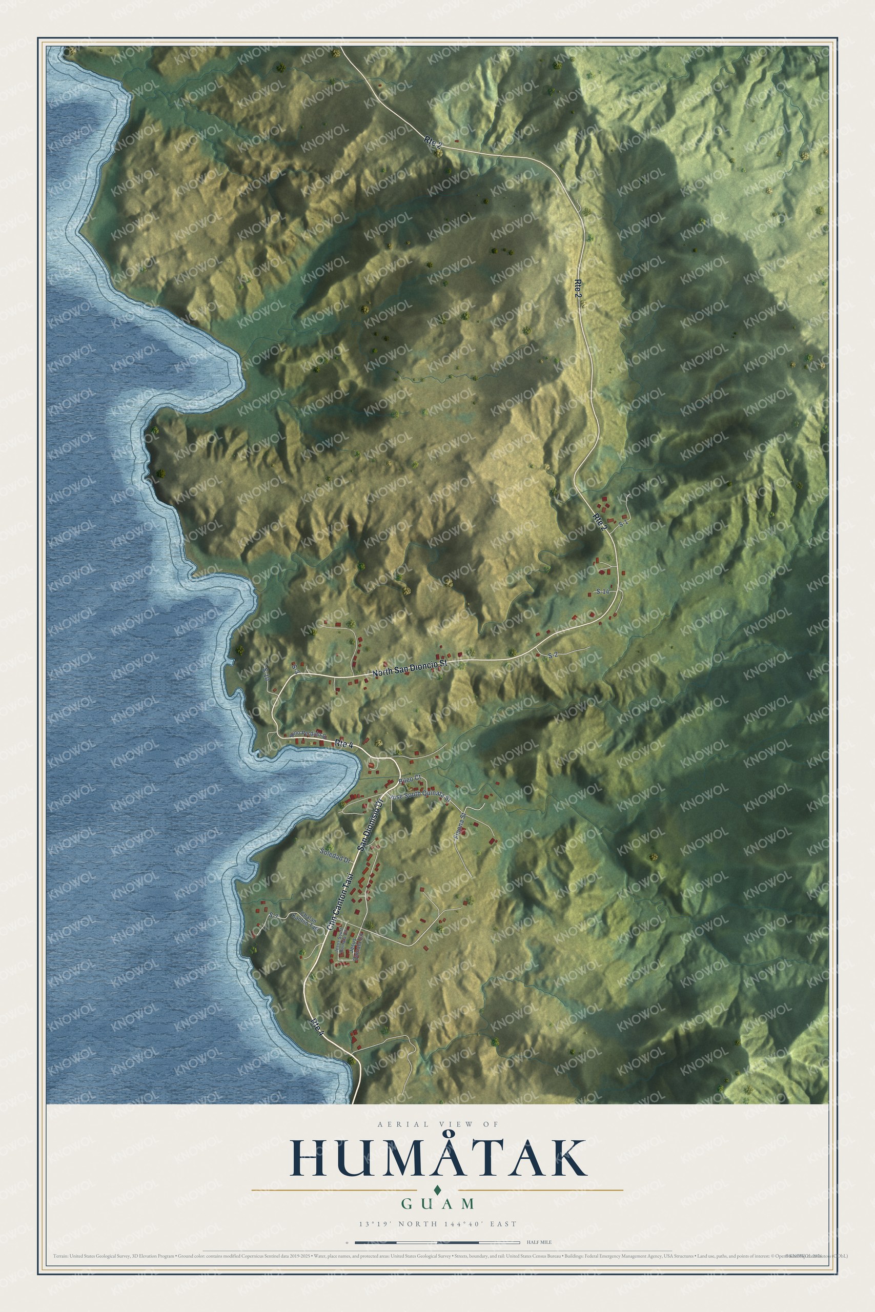
This beautifully detailed map of Humåtak, Guam was created in 2026 using aerial imagery combined with modern topographical, census, street and landmark data. It's a modern aerial view of the village of Humåtak, Guam, that combines modern data with a vintage aesthetic. The roads feature printed names, and if you look closely you can find your exact house accurately shown in its correct location.
Explore an aerial view of Humåtak, Guam
On this map you'll find Chn Canton Tasi, San Dionisio Drive, North San Dioncio Street, Jose South Quinata Street, S-2, Finona Street, S-7, S-1, Pileo Court, Soledad Drive, S-10, S-14, and more. Each red shape is a building, so zoom in on the preview and look for yours.
Humåtak has a story worth telling. The Guampedia puts it this way: "Legazpi anchored at Humåtak Bay for 13 days and formally claimed Guam for Spain. During his stay, a Catholic mass was celebrated in a large cruciform canoe house by the bay. By the time of Legazpi’s visit, Humåtak was already a CHamoru coastal settlement that included a large communal house raised on latte stones, so spacious it could accommodate 200 people along with large canoes, as described by the Europeans."
Humåtak is one of the 19 villages of Guam. The Census Bureau counted 647 people here in 2020.
Take a closer look at the Humåtak map
Names on this map
These names are printed on this map.
Streets and roads: Chn Canton Tasi, Route 4, San Dionisio Drive, North San Dioncio Street, Route 2, Jose South Quinata Street, S-2, Finona Street, S-7, S-1, Pileo Court, Soledad Drive.
More street names, A to Z
Chalan Kanton Tasi, Jesus Quinata Circle, Jesus South Quinata Circle, Nino Perdido Street, S-3, S-10, S-14.
See it on a wall
The Humåtak map as a framed print. Swipe for more.


Created by KNOWOL in 2026. The buildings are small red shapes, the roads carry their printed names, and shaded relief shows the shape of the land. The title panel reads "AERIAL VIEW OF HUMÅTAK, GUAM" with 13°19' NORTH 144°40' EAST.
It looks right in a kitchen, an office or a den, and it's a gift for anyone who grew up in Humåtak or moved away. Open the preview and find your street. See sizes and frames for the Humåtak map.