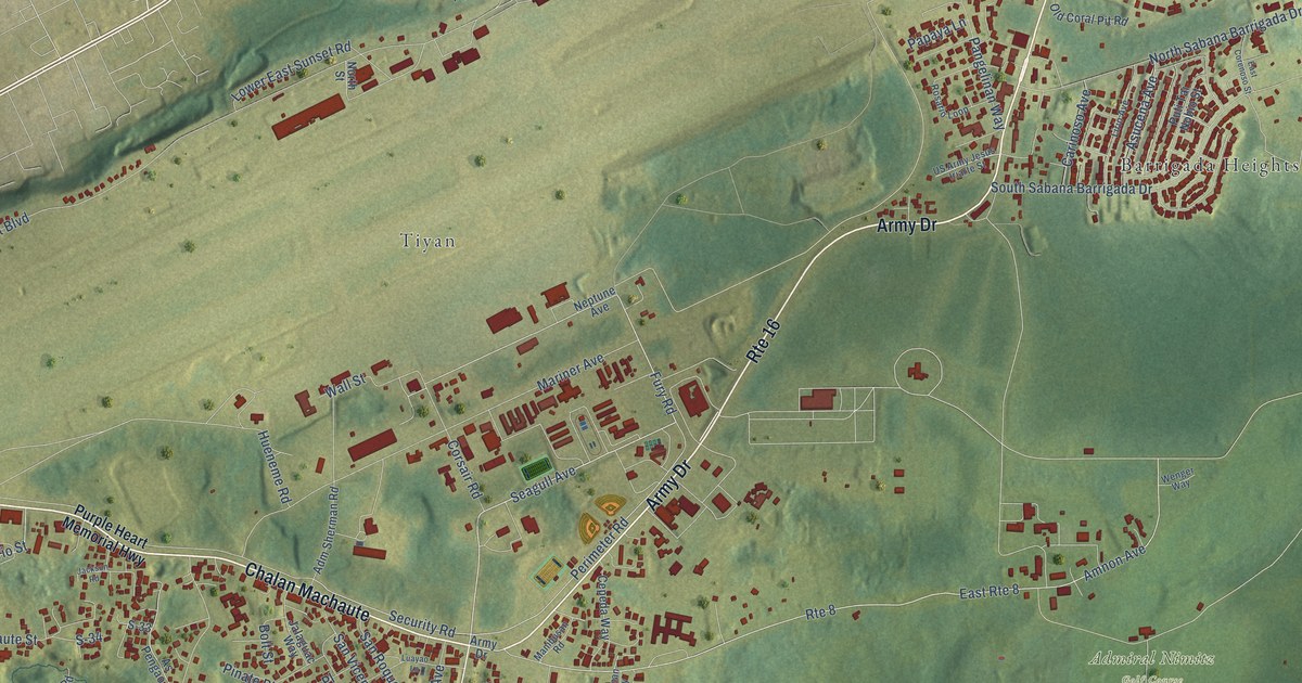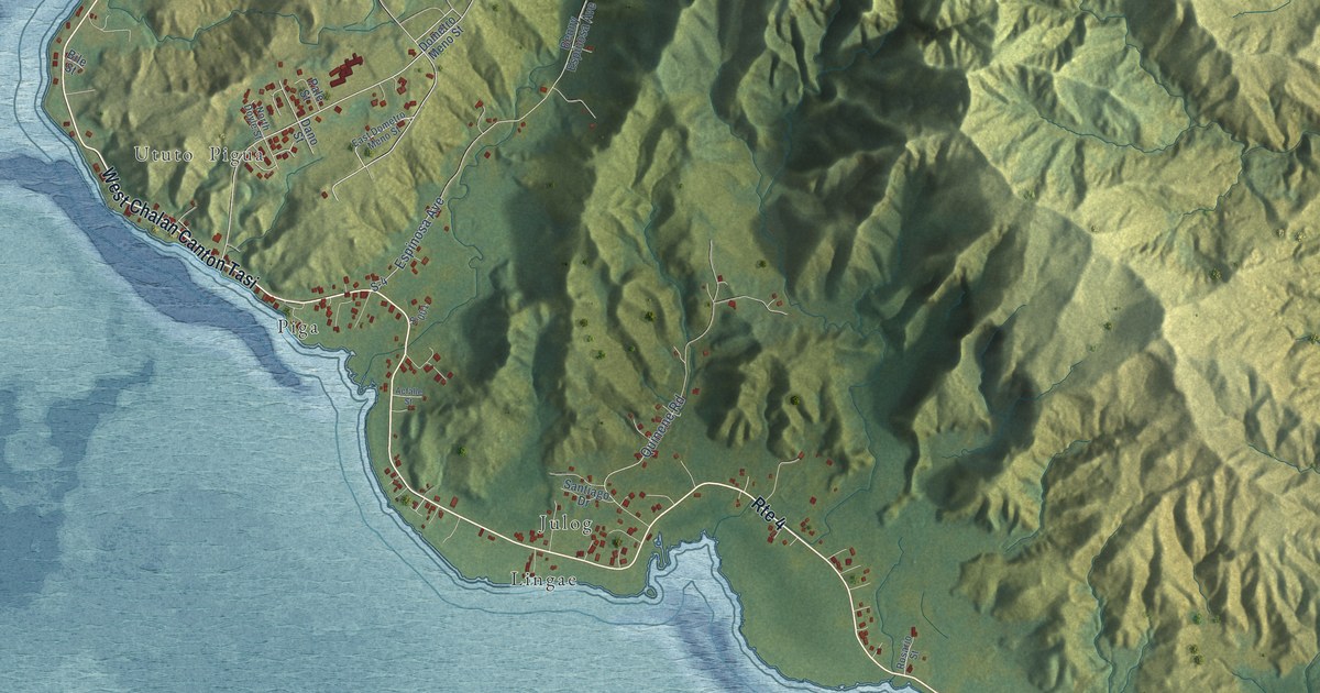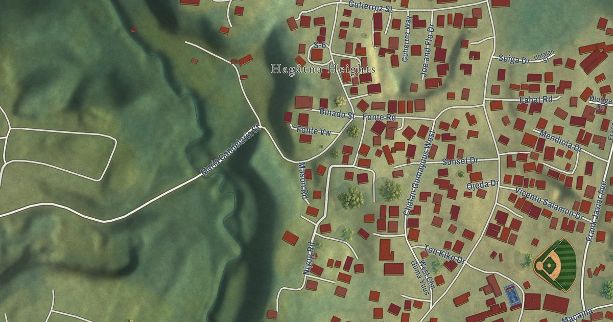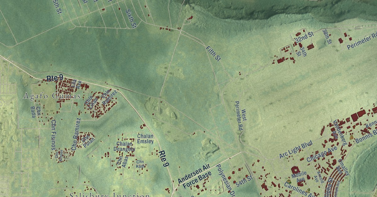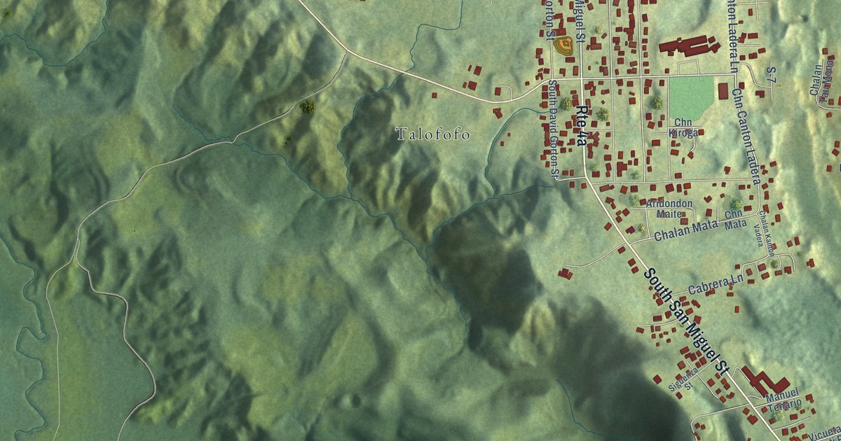
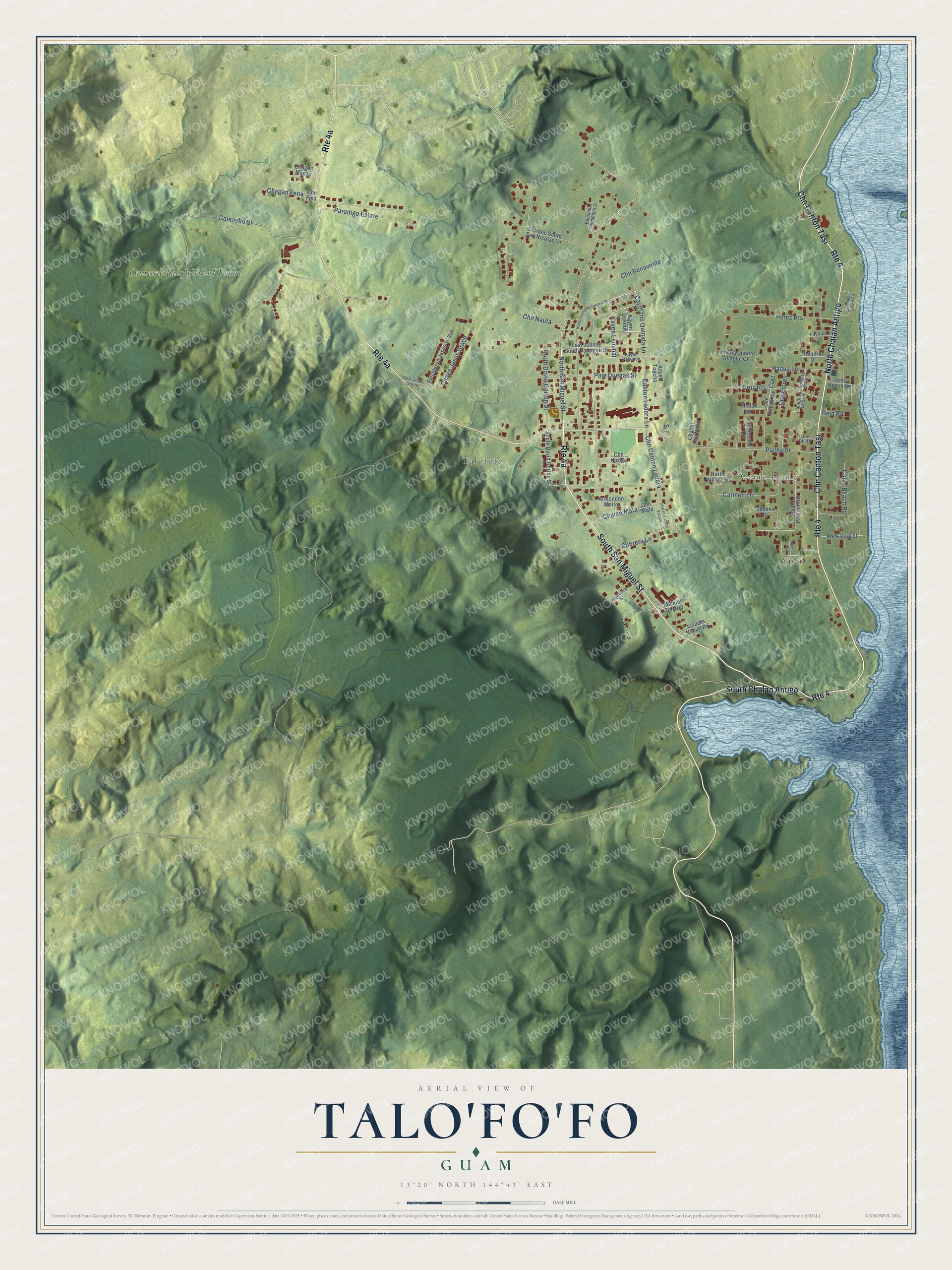
This beautifully detailed map of Talo'fo'fo, Guam was created in 2026 using aerial imagery combined with modern topographical, census, street and landmark data. It's a modern aerial view of the village of Talo'fo'fo, Guam, that combines modern data with a vintage aesthetic. The roads feature printed names, and if you look closely you can find your exact house accurately shown in its correct location.
Explore an aerial view of Talo'fo'fo, Guam
On this map you'll find Camp Dealy, Ypan, Talofofo, Onward Talofofo Golf Resort, North Chalan Antigo, South San Miguel Street, Chn Canton Tasi, South Chalan Antigo, Cayetano Quinata Lane, North San Miguel Street, Kayen Lemmai, Cruz Heights, and more. Each red shape is a building, so zoom in on the preview and look for yours.
Here is a piece of Talo'fo'fo history, in the words of the record. The Guampedia puts it this way: "In 1672, Spanish Jesuit priest Father Diego Luis de San Vitores ordered a church to be constructed at the Pigpug settlement near Talo’fo’fo Bay, and this church became the center of the new Christian community."
Talo'fo'fo is one of the 19 villages of Guam. The Census Bureau counted 3,550 people here in 2020.
Take a closer look at the Talo'fo'fo map
Names on this map
These names are printed on this map.
Places: Camp Dealy, Ypan, Talofofo and Onward Talofofo Golf Resort.
Streets and roads: North Chalan Antigo, South San Miguel Street, Chn Canton Tasi, Route 4, South Chalan Antigo, Cayetano Quinata Lane, North San Miguel Street, Kayen Lemmai, Cruz Heights, Canton Ladera Lane, Cruz, Chn Canton Ladera.
More street names, A to Z
Aridondon Maite, Beck Ping Street, Beja Road, Benjamin Taimanglo Drive, Cabrera Lane, Calvo Beach Road, Camacho Street, Carmen Lane, Chaga Jesus Grace, Chagan Fena, Chagan Mapao, Chalan Isa, Chalan Kanton Vadera, Chalan Mata, Chalan Tau Mona, Chn Benavente, Chn Fina, Chn Flores, Chn Jesus Grace, Chn Kiroga, Chn Mata, Chn Nauta, Chn Ocean Vw, Don Dei Drive, Duenas Road, East Johnny South Taitague Street, Enrique South San Nicolas Lane, Hibiscuss Lane, Ipan Public Beach Road, Jones Beach Road, Kayen Dokdok, Kayen Pagunon, Kayen Togcha, Manuel Tenario, North David Gorton Street, North Leonardo Tenorio Street, North Lu Otts Lane, North Paulino Heights, Pacha Drive, Pacifico Drive, Padua Lane, Pale Duenas Street, Paradigo Estate, Pasaderun Jesus Grace, Perez Heights, Roberto Drive, S-7, Sabana Drive, Siguenza Street, South David Gorton Street, South Lu Otts Lane, South Paulino Heights, Tan Ana Duenas Aflague Court, Vicueta Neputi Road.
See it on a wall
The Talo'fo'fo map as a framed print. Swipe for more.


Created by KNOWOL in 2026. The buildings are small red shapes, the roads carry their printed names, and shaded relief shows the shape of the land. The title panel reads "AERIAL VIEW OF TALO'FO'FO, GUAM" with 13°20' NORTH 144°43' EAST.
It suits a den, a classroom or a front hall, and it makes a gift for anyone with Talo'fo'fo roots. Open the preview and find the block you know. See sizes and frames for the Talo’fo’fo map.