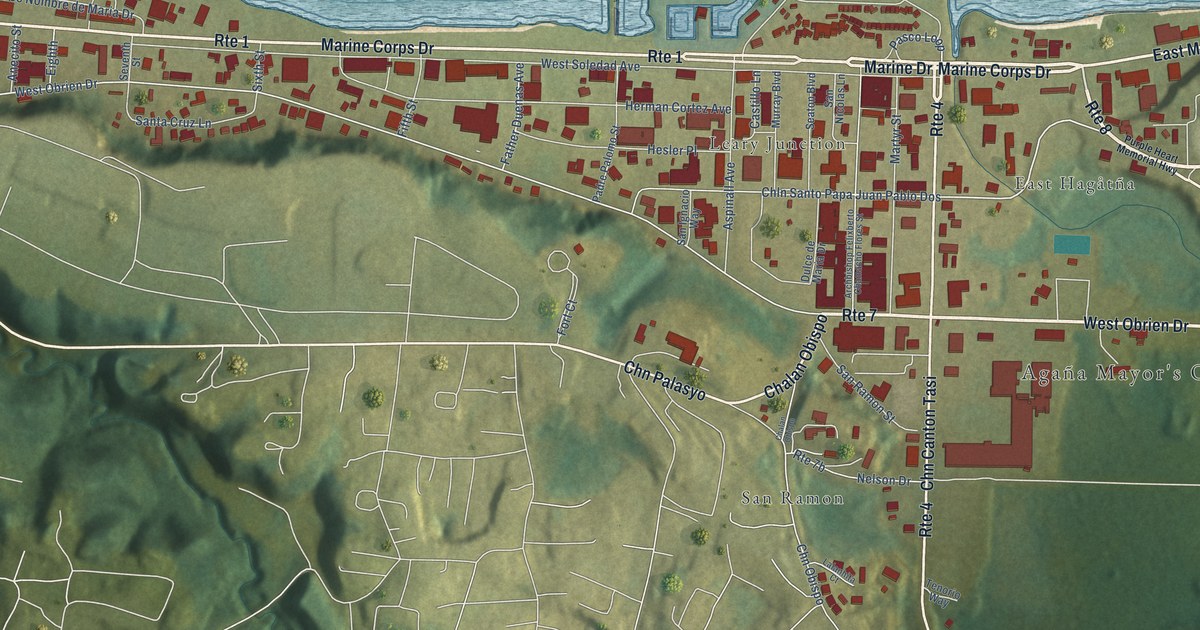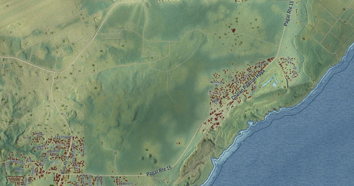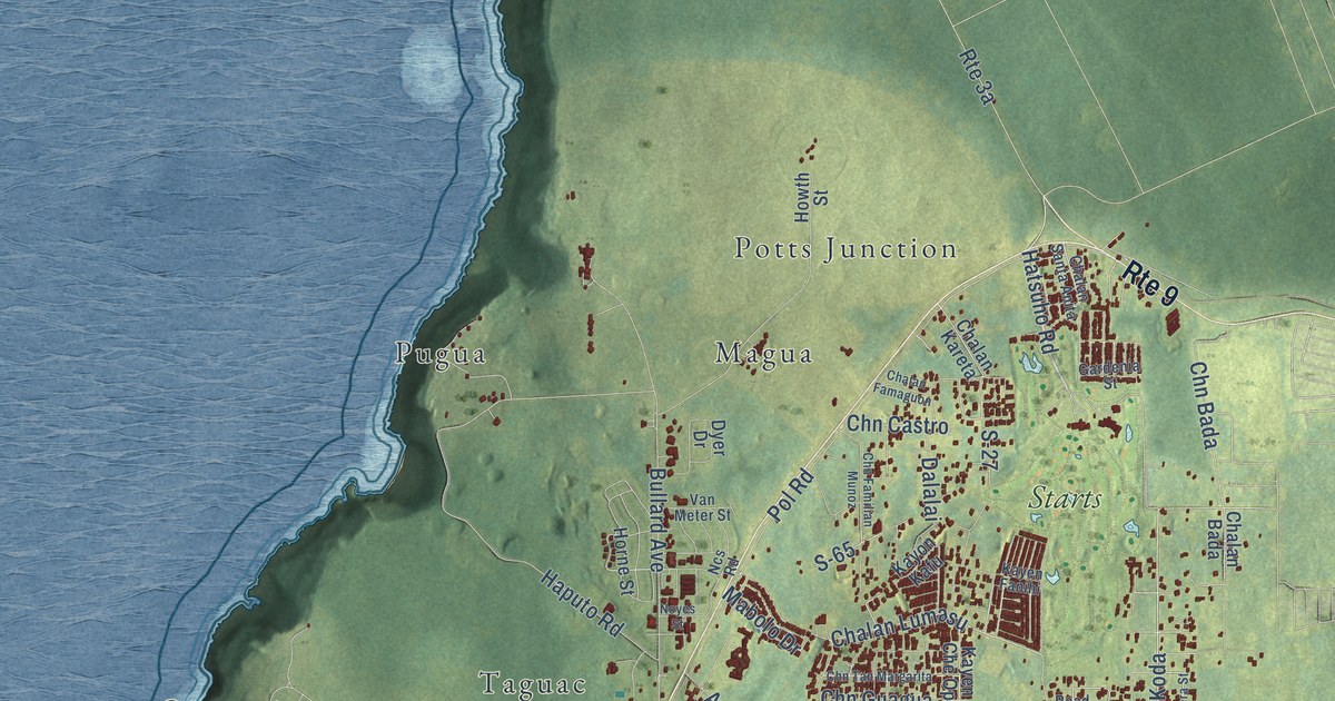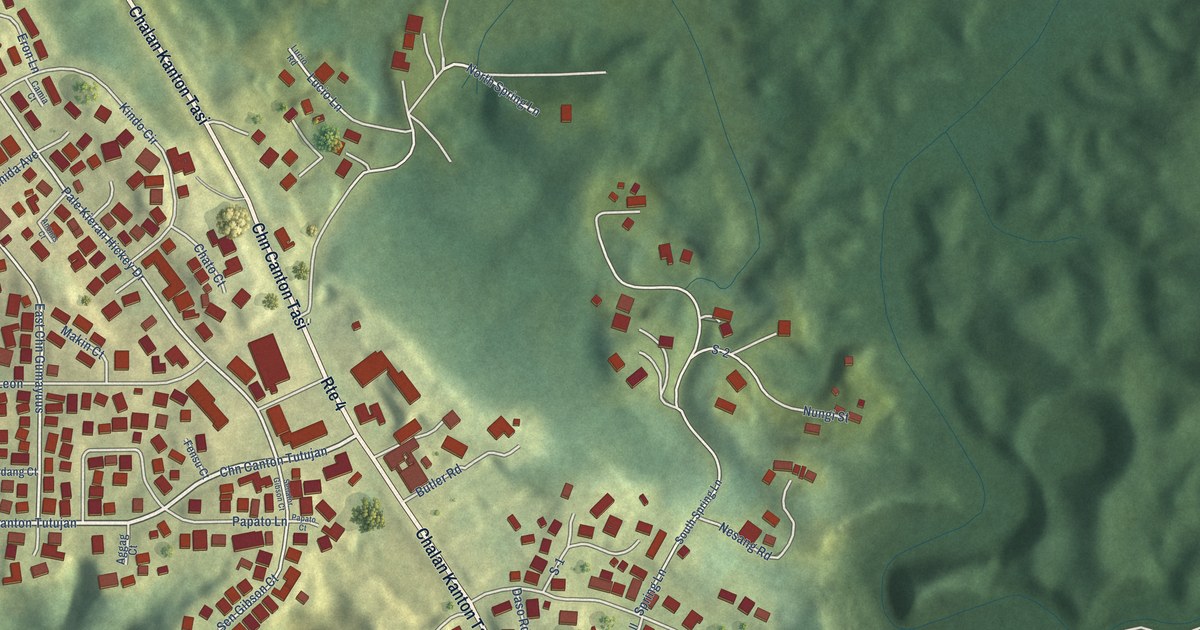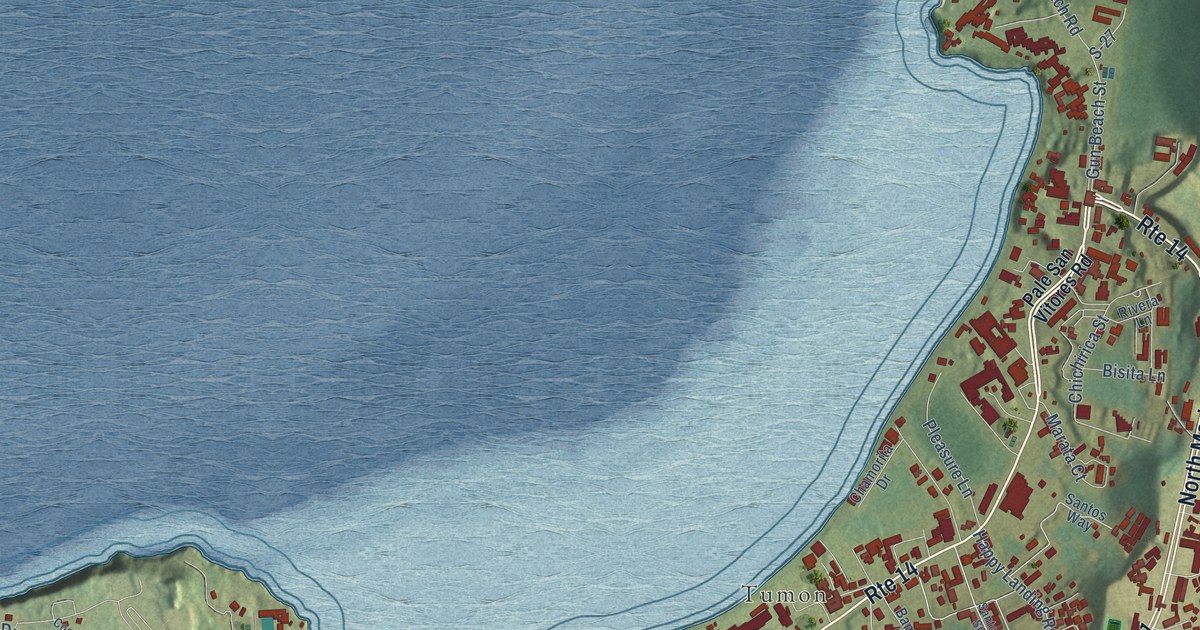
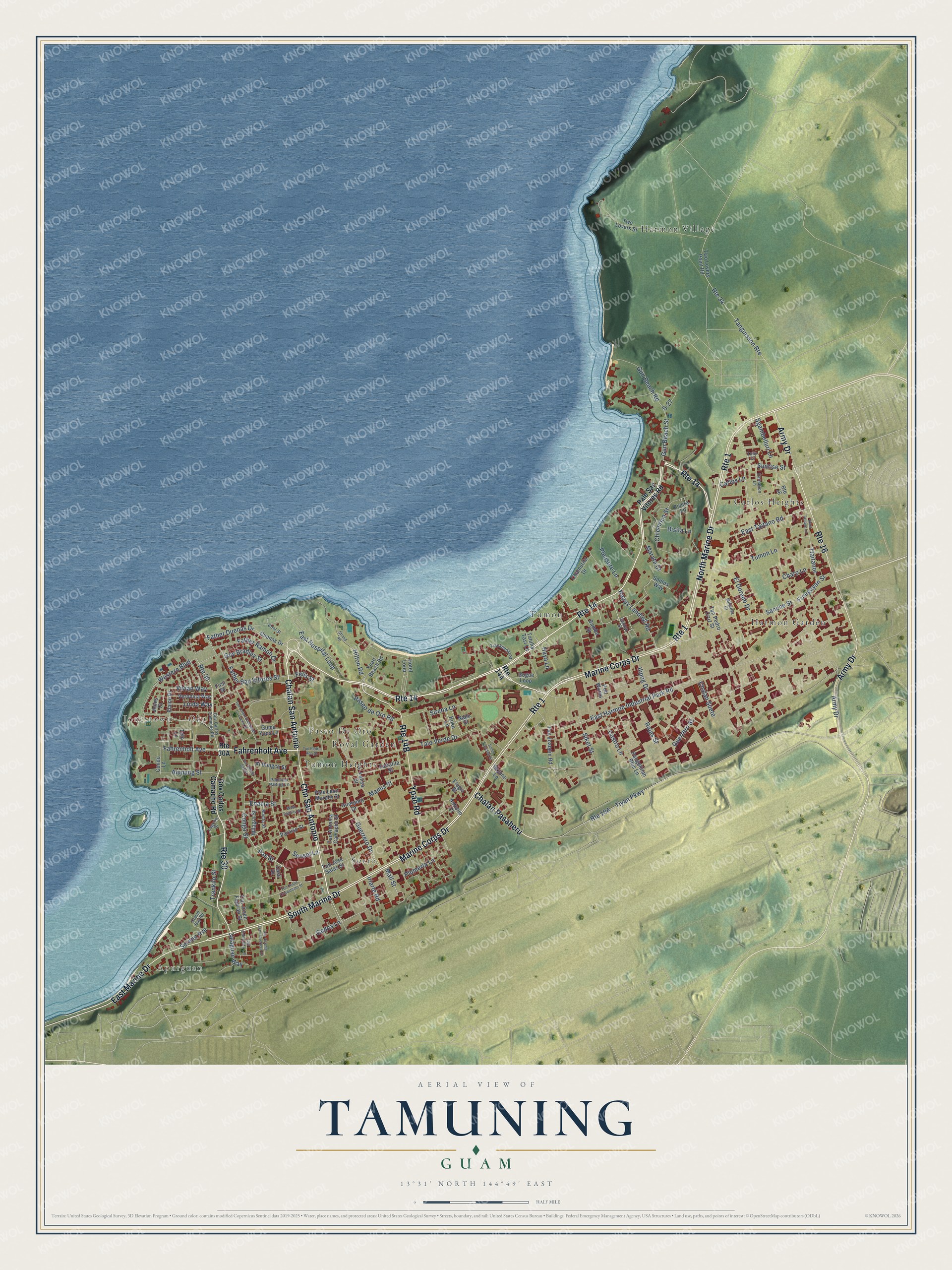
This beautifully detailed map of Tamuning, Guam was created in 2026 using aerial imagery combined with modern topographical, census, street and landmark data. It's a modern aerial view of the village of Tamuning, Guam, that combines modern data with a vintage aesthetic. The roads feature printed names, and if you look closely you can find your exact house accurately shown in its correct location.
Explore an aerial view of Tamuning, Guam
On this map you'll find Apurguan, Jonestown, Oka, Socio, Harmon Village, Harmon Garden, Tumon, Carlos Heights, Paseo De Oro, Tumon Heights, Royal Garden, Chalan San Antonio, and more. Each red shape is a building, so zoom in on the preview and look for yours.
Here is a piece of Tamuning history, in the words of the record. The Guampedia puts it this way: "The village of Tamuning was established in 1849 by Governor Pablo Perez, as a refuge for a group of Carolinians whose islands had been destroyed by a 1848 typhoon."
Tamuning is one of the 19 villages of Guam. The Census Bureau counted 18,489 people here in 2020.
Take a closer look at the Tamuning map
Names on this map
These names are printed on this map.
Places: Apurguan, Jonestown, Oka, Socio, Harmon Village, Harmon Garden, Tumon, Carlos Heights, Paseo De Oro, Tumon Heights and Royal Garden.
Streets and roads: Route 14, Chalan San Antonio, Chn San Antonio, Marine Corps Drive, Chalan Pasaheru, Fahrenholt Avenue, Army Drive, Route 1, Route 30, South Marine Drive, North Marine Drive, Route 16.
More street names, A to Z
Al Dungca Street, Alupang Street, Antonio Court, Bamba Street, Bisita Lane, Bonito Street, Carlos Lane, Carnation Lane, Casil Drive, Castro Lane, Chalan Suete, Chamorita Drive, Charo Lane, Chichirica Street, Condo Lane, Conga Street, Cool Street, Duenas Drive, East Harmon Industrial Park Road, East Hospital Loop, East Marine Drive, East Taitano Road, Elaine Drive, El Dorado Drive, Elugio Street, Enacia Street, Estralita Street, Father Duenas Drive, Father Ramon Drive, Father San Vitores Street, Felis Street, Finegayan Street, First Street, Gedca Lane, Gogue Loop, Gov Bradley Street, Gov Carlos Camacho Road, Guerpero Drive, Guerrero Drive, Guerrero Street, Guma Yuos Lane, Gun Beach Road, Gun Beach Street, Happy Landing Road, Haya Lane, Hilton Road, Hotel Loop, Ilipog Drive, Iriarte Road, Jalaguac Way, Jones Court, Koku Lane, Lagoon Drive, Latisa Street, Linda Way, Mall Street, Mamis Street, Marata Court, Milagro Street, Milindez Court, Napu Court, Ocean Bay Road, Pale Leon Murphy Street, Pale San Vitores Road, Pancoso Palting Lane, Pangelinan Blas Lane, Paraiso Street, Paseo de Oro Road, Pas Street, Pleasure Lane, Plumeria Lane, Pub Works, Rivera Lane, Rojas Street, Route 34, S-27, Sanche Street, Santos Street, Santos Way, Serenu Avenue, Sgambelluri Lane, Siket Street, Simon Sanchez Street, Sirena Lane, Skyline Lane, Strand Road, Sunrise Street, Sunset Lane, Talo Lane, Talo Verde Drive, Tan Antonia Camacho Street, Tan Chong Sablan, Tan Conchita Lane, Tanguisson Route, Tatuha Tasi Lane, Tiyan Parkway, Trankilo Street, Trankiludat Street, Ttaitanor, Tulip Court, Tumon Lane, Tun Jesus Crisostomo Street, Tun Joaquin Road, Tun Josen Emetarian Camacho Street, Tun Josen Fejeran Street, Tun Jose Salas Street, Tun Pedro Ada Street, Tun Pedro Cruz Street, Tun Vicente Leon Guerrero Drive, Two Lovers Point Road, Two Lovers Street, Veronica Way, Vivian Way, Western Boulevard, West Espiritu Street, West Taitano Lane, Ypao Beach Road, Ypao Road.
See it on a wall
The Tamuning map as a framed print. Swipe for more.


Created by KNOWOL in 2026. The buildings are small red shapes, the roads carry their printed names, and shaded relief shows the shape of the land. The title panel reads "AERIAL VIEW OF TAMUNING, GUAM" with 13°31' NORTH 144°49' EAST.
It suits a den, a classroom or a front hall, and it makes a gift for anyone with Tamuning roots. Open the preview and find the block you know. See sizes and frames for the Tamuning map.