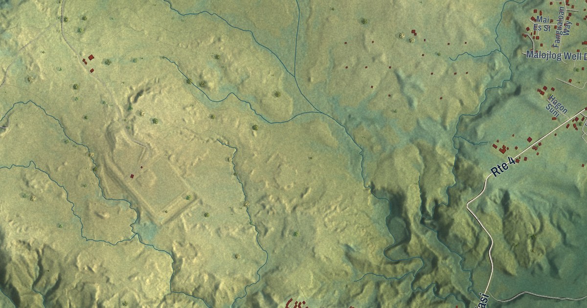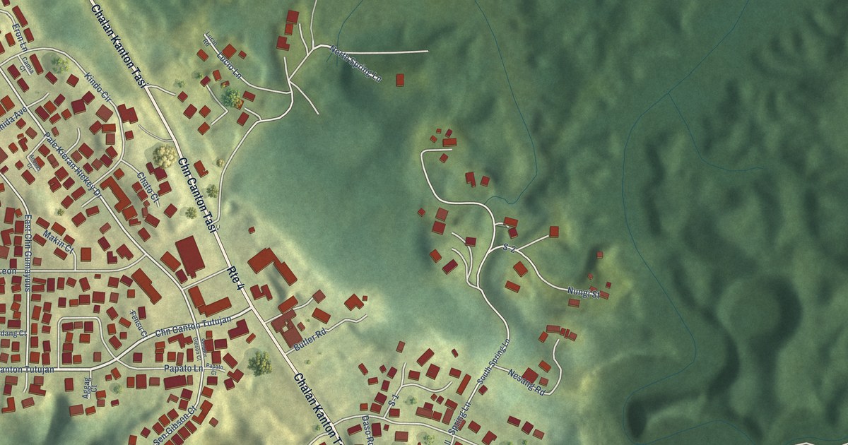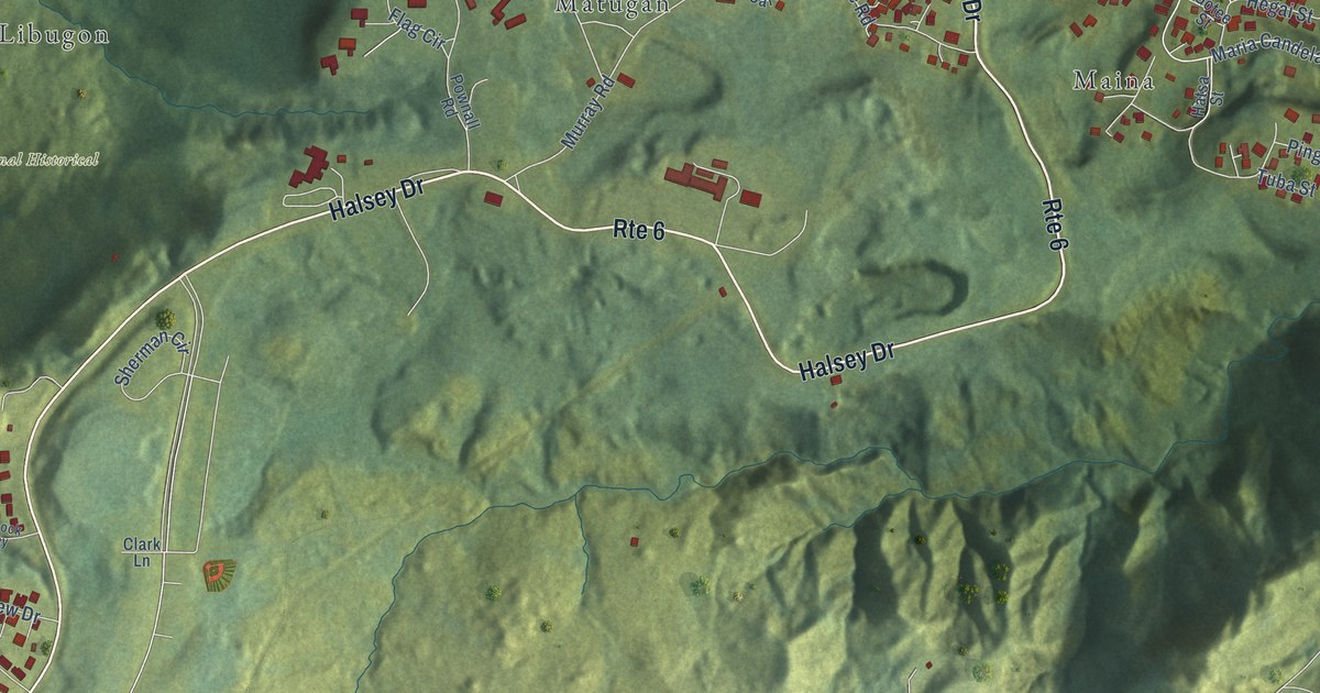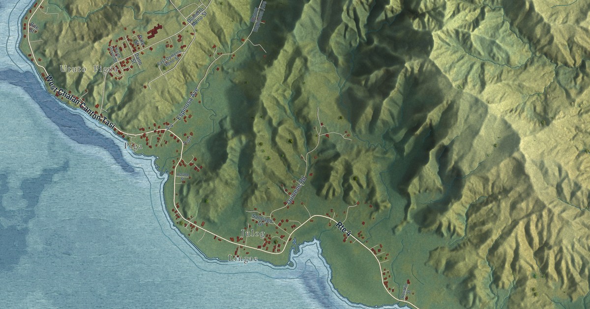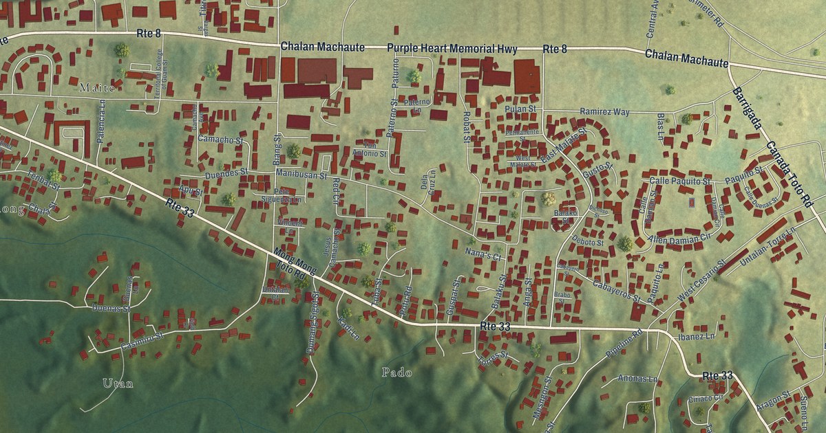
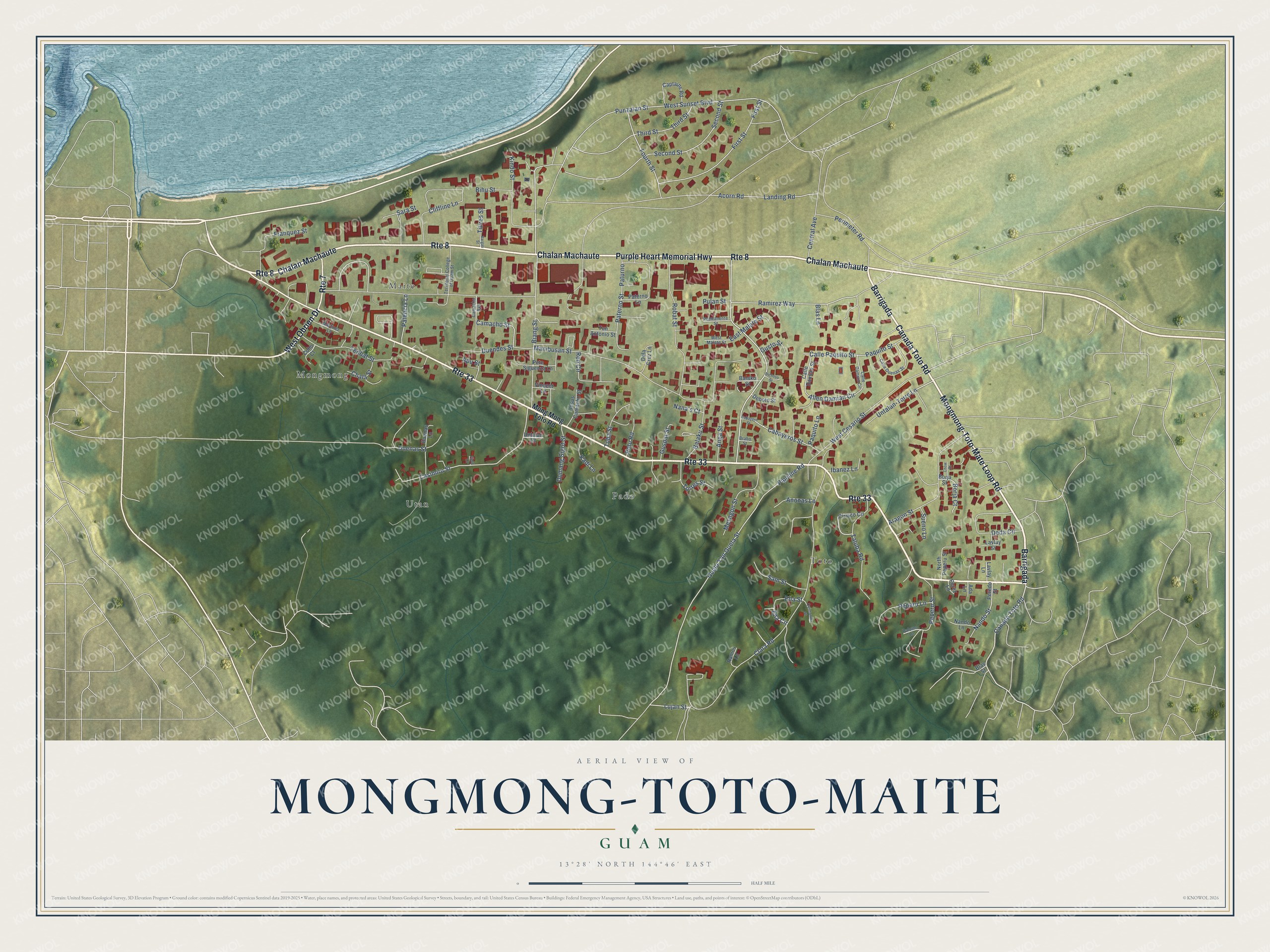
This beautifully detailed map of Mongmong-Toto-Maite, Guam was created in 2026 using aerial imagery combined with modern topographical, census, street and landmark data. It's a modern aerial view of the village of Mongmong-Toto-Maite, Guam, that combines modern data with a vintage aesthetic. The roads feature printed names, and if you look closely you can find your exact house accurately shown in its correct location.
Explore an aerial view of Mongmong-Toto-Maite, Guam
On this map you'll find Pado, Maite, Toto, Utan, Mongmong, Purple Heart Memorial Highway, Mongmong-Toto-Mate Loop Road, Barrigada, Canada Toto Road, Chalan Machaute, West Obrien Drive, Ramirez Way, and more. Each red shape is a building, so zoom in on the preview and look for yours.
Here is a piece of Mongmong-Toto-Maite history, in the words of the record. The Guampedia puts it this way: "Before the Japanese occupation of Guam in 1941, Mongmong-Toto-Maite was mainly used for small-scale farming and raising poultry and other livestock."
Mongmong-Toto-Maite is one of the 19 villages of Guam. The Census Bureau counted 6,380 people here in 2020.
Take a closer look at the Mongmong-Toto-Maite map
Names on this map
These names are printed on this map.
Places: Pado, Maite, Toto, Utan and Mongmong.
Streets and roads: Route 33, Purple Heart Memorial Highway, Mongmong-Toto-Mate Loop Road, Barrigada, Canada Toto Road, Route 8, Chalan Machaute, West Obrien Drive, Route 7, Ramirez Way, Casimiru Street, Biang Street.
More street names, A to Z
Acorn Road, Ada Lane, Allen Damian Circle, Anga Street, Anonas Lane, Apu Street, Aragon Street, Balako Street, Balaku Street, Bihu Street, Blas Lane, Blas Street, Borja Court, Borja Street, Brabo Street, Cabayeros Street, Cabayero Street, Calle Damian Circle, Calle Damian Street, Calle Duenas Street, Calle Paquito Street, Camacho Avenue, Camacho Street, Captains Road, Central Avenue, Chala Street, Chow Court, Ciriaco Circle, Clara Road, Cliffline Lane, Coho Court, Deboto Street, Deda Circle, Dela Cruz Lane, Dichoso Street, Duenas Lane, Duenas Street, Duendes Street, Dumang Sigot Street, East Malate Street, Ella Circle, Ella Street, Field Lane, First Street, Fourth Street, Franquez Street, Guelo Yan Guela Street, Guspat Street, Gusto Street, Ibanez Lane, Jesus Camacho Street, Kadi Lane, Kindo Street, Landing Road, Lavlay Lane, Lavlay Street, Lujan Street, Manibusan Street, Martinez Lane, Mesngon Street, Mong Mong Toto Road, Nana's Court, Nando Lane, Nando Street, North Peperu Street, Palencia Lane, Palomo Lane, Paquito Lane, Paquito Street, Paterno Lane, Paterno Street, Paturno, Peperu Lane, Peperu Street, Peredo Street, Perez Lane, Perimeter Road, Pete Siguenza Lane, Petmanente Street, Pipeline Road, Potu Road, Pulan Street, Punzalan Street, Quintanilla Street, Ramos Lane, Red Circle, Robat Street, Sam Street, Sara Street, Second Street, Sueno Lane, Taluba Road, Tenbat Street, Territonal College of Guam Street, Third Street, Titires Street, Torres Street, Tuba Street, Tun Antonio Street, Untalan-Torre Lane, Untalan Court, Vargas Street, Vincent Lane, West Cesario Street, West Malate Street, West Sunset Boulevard.
See it on a wall
The Mongmong-Toto-Maite map as a framed print. Swipe for more.


Created by KNOWOL in 2026. The buildings are small red shapes, the roads carry their printed names, and shaded relief shows the shape of the land. The title panel reads "AERIAL VIEW OF MONGMONG-TOTO-MAITE, GUAM" with 13°28' NORTH 144°46' EAST.
It suits a den, a classroom or a front hall, and it makes a gift for anyone with Mongmong-Toto-Maite roots. Open the preview and find the block you know. See sizes and frames for the Mongmong-Toto-Maite map.