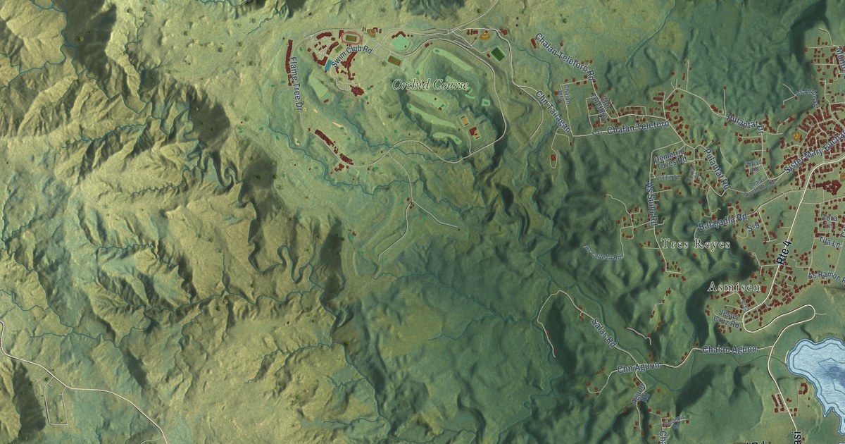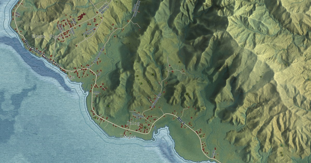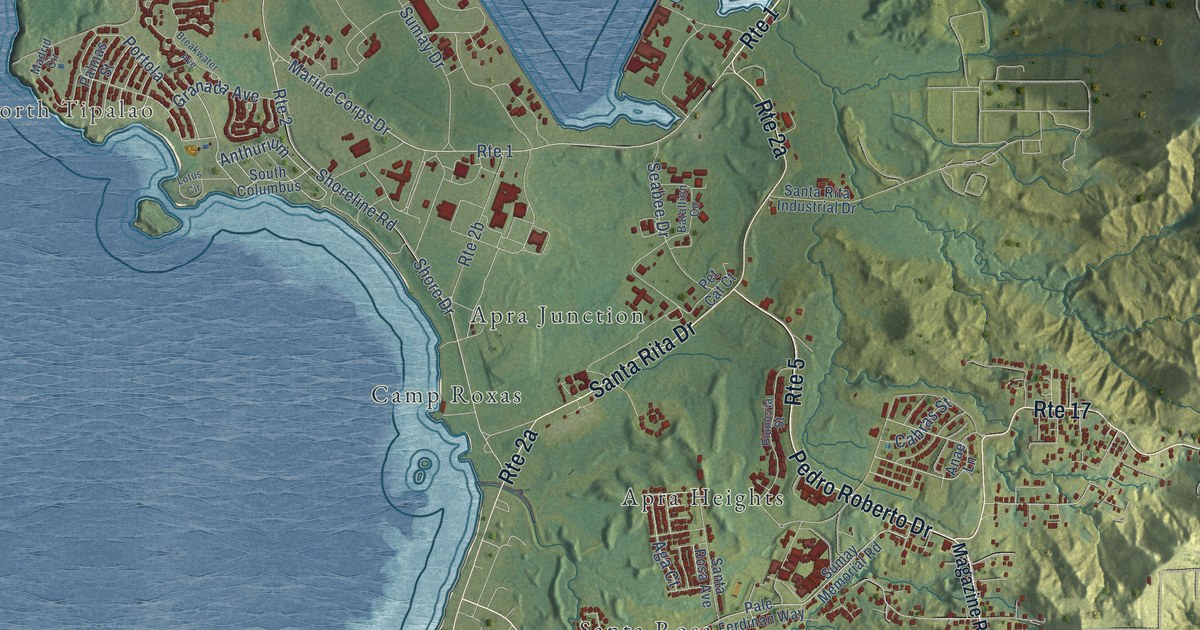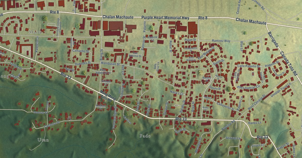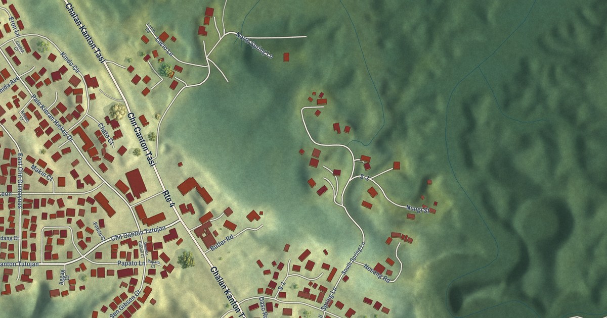
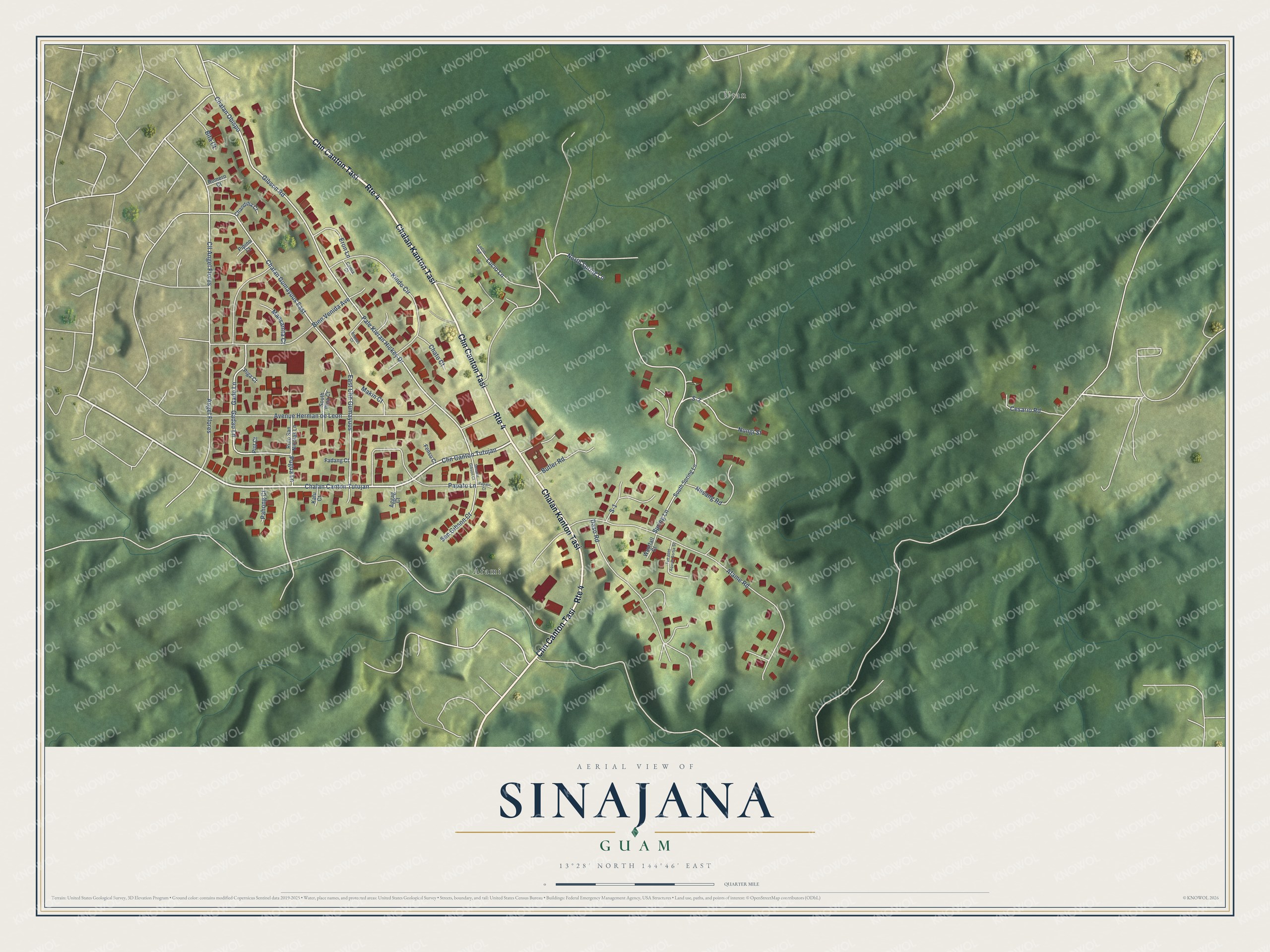
This beautifully detailed map of Sinajana, Guam was created in 2026 using aerial imagery combined with modern topographical, census, street and landmark data. It's a modern aerial view of the village of Sinajana, Guam, that combines modern data with a vintage aesthetic. The roads feature printed names, and if you look closely you can find your exact house accurately shown in its correct location.
Explore an aerial view of Sinajana, Guam
On this map you'll find Utan, Afami, Chalan Kanton Tasi, Chn Canton Tasi, Chalan Canton Tutujan, Chn Canton Tutujan, Pale Kieran Hickey Drive, Spring Lane, Gadao Lane, Gado Lane, Angel Flores, Chalan Gumayuus East, and more. Each red shape is a building, so zoom in on the preview and look for yours.
Sinajana has a story worth telling. The Guampedia puts it this way: "CL Taitano Elementary School was previously known as Sinajana Elementary School before being renamed after the former educator and village resident."
Sinajana is one of the 19 villages of Guam. The Census Bureau counted 2,611 people here in 2020.
Take a closer look at the Sinajana map
Names on this map
These names are printed on this map.
Places: Utan and Afami.
Streets and roads: Chalan Kanton Tasi, Chn Canton Tasi, Route 4, Chalan Canton Tutujan, Chn Canton Tutujan, Pale Kieran Hickey Drive, Spring Lane, Gadao Lane, Gado Lane, Angel Flores, Chalan Gumayuus East, East Chn Gumayuus.
More street names, A to Z
Afame Road, Aggag Court, Anonas Court, Avenue Herman de Leon, Bien Venida Avenue, Bita Court, Butler Road, Camia Court, Cesario Road, Chalan Obispo, Chandiha Court, Chato Court, Cll Angel Flores, Daso Road, Eron Lane, Fadang Court, Fensu Court, Gibson Road, Kafu Court, Kindo Circle, Lucio Lane, Lucio Road, Makin Court, Mansanita Court, Nesang Road, North Spring Lane, Nungi Street, Pahong Court, Papato Court, Papato Lane, Piga Court, Piot Court, Pipino Court, Pugua Lane, Romero Court, Rufo San Nicolas Lane, S-1, S-2, Senator Gibson Court, Sen Gibson Court, South Pina Court, South Spring Lane, Tun Jose Aquina Bortja Street, Westfall Court.
See it on a wall
The Sinajana map as a framed print. Swipe for more.


Created by KNOWOL in 2026. The buildings are small red shapes, the roads carry their printed names, and shaded relief shows the shape of the land. The title panel reads "AERIAL VIEW OF SINAJANA, GUAM" with 13°28' NORTH 144°46' EAST.
It looks right in a kitchen, an office or a den, and it's a gift for anyone who grew up in Sinajana or moved away. Open the preview and find your street. See sizes and frames for the Sinajana map.