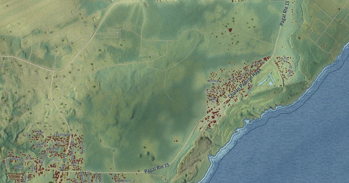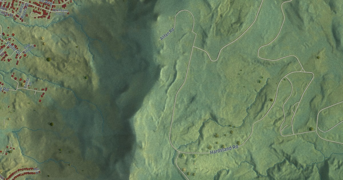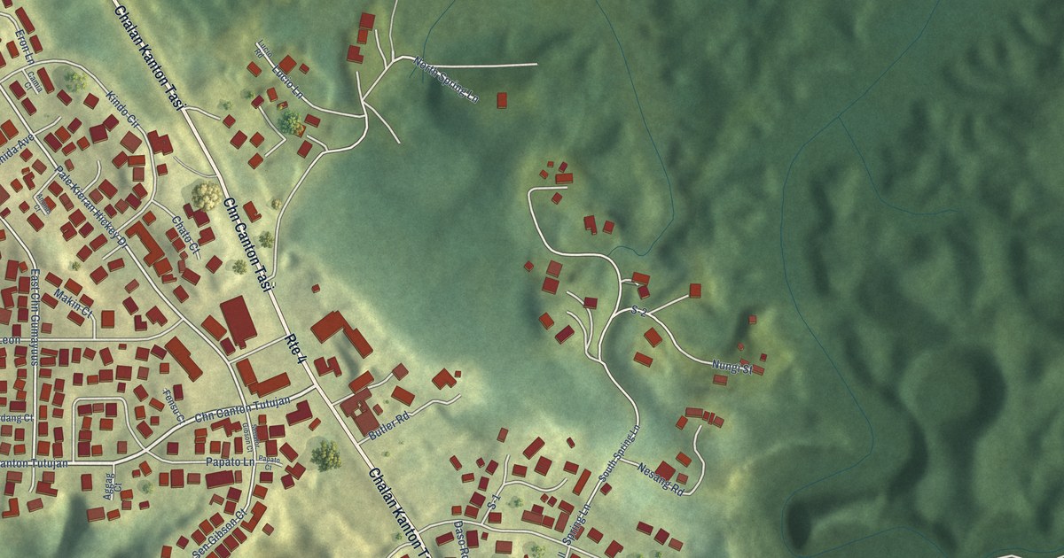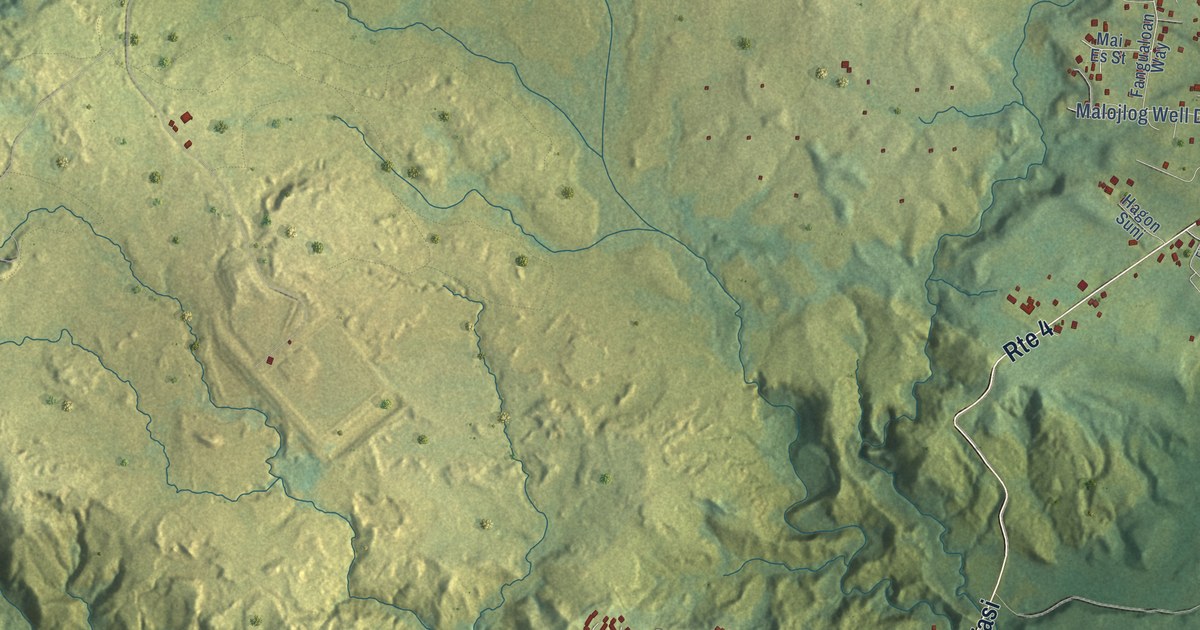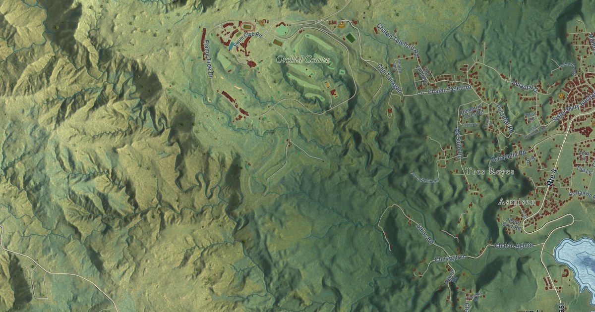
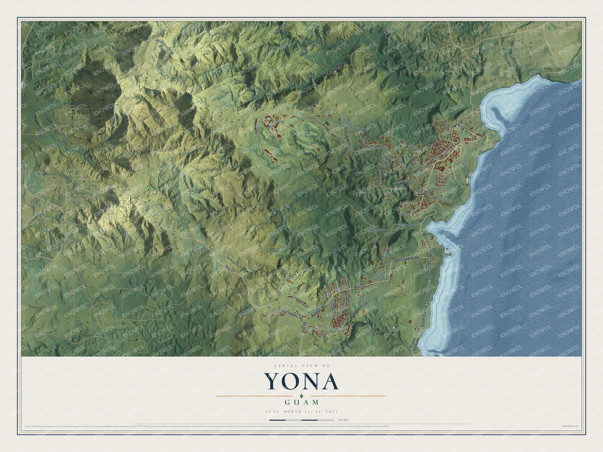
This beautifully detailed map of Yona, Guam was created in 2026 using aerial imagery combined with modern topographical, census, street and landmark data. It's a modern aerial view of the village of Yona, Guam, that combines modern data with a vintage aesthetic. The roads feature printed names, and if you look closely you can find your exact house accurately shown in its correct location.
Explore an aerial view of Yona, Guam
On this map you'll find Asmisen, Baza Gardens, Tres Reyes, Orchid Course, Chn Canton Tasi, Cross Island Road, Aguilar Road, South Chalan Canton Tasi, Chalan Teleforo, Sister Mary Eucharita Drive, Pulantat Road, Chalan Aguon, and more. Each red shape is a building, so zoom in on the preview and look for yours.
Here is a piece of Yona history, in the words of the record. The Guampedia puts it this way: "Yona remained a relatively peaceful farming area during the war until the last few weeks of the Japanese occupation of Guam."
Yona is one of the 19 villages of Guam. The Census Bureau counted 6,298 people here in 2020.
Take a closer look at the Yona map
Names on this map
These names are printed on this map.
Places: Asmisen, Baza Gardens, Tres Reyes and Orchid Course.
Streets and roads: Chn Canton Tasi, Route 4, Route 17, Cross Island Road, Aguilar Road, South Chalan Canton Tasi, Chalan Teleforo, Sister Mary Eucharita Drive, Pulantat Road, Chalan Aguon, Pulantat Drive, Flores Rosa Street.
More street names, A to Z
Aguon Road, As Andie Street, As Cepeda Road, As Ramon Road, As Suilo Road, Balajadia Road, Carabao Lane, Ccp Lane, Chaco Road, Chalan Jota, Chalan Teleforo Road, Chn Aguon, Chn Binadu Cafu Street, Chn Garrido, Chn Jesus Torres, Chn Saduc, Chn Tailagan, Chn Teleforo, Club House Drive, Cruz Road, Demetrio Toves Road, Dolilie Road, Fairway Drive, Flame Tree Drive, Flores Rosa, Hogan Lane, Jesus Cruz Road, Laguina Circle, Laguna Circle, Margarita Street, Mount Alutom Road, Munoz Street, Pacaigue Road, Pagua Drive, S-9, S-13, S-18, S-31, Salas Road, Swim Club Road, Tibad Road, Tila Lane, Tomas Quichocho Road, Tora Lane, Toves Road, Tun Ramon Baza Street, Vicente Aguon Road, Victoria Quenga Road.
See it on a wall
The Yona map as a framed print. Swipe for more.


Created by KNOWOL in 2026. The buildings are small red shapes, the roads carry their printed names, and shaded relief shows the shape of the land. The title panel reads "AERIAL VIEW OF YONA, GUAM" with 13°24' NORTH 144°45' EAST.
It suits a den, a classroom or a front hall, and it makes a gift for anyone with Yona roots. Open the preview and find the block you know. See sizes and frames for the Yona map.