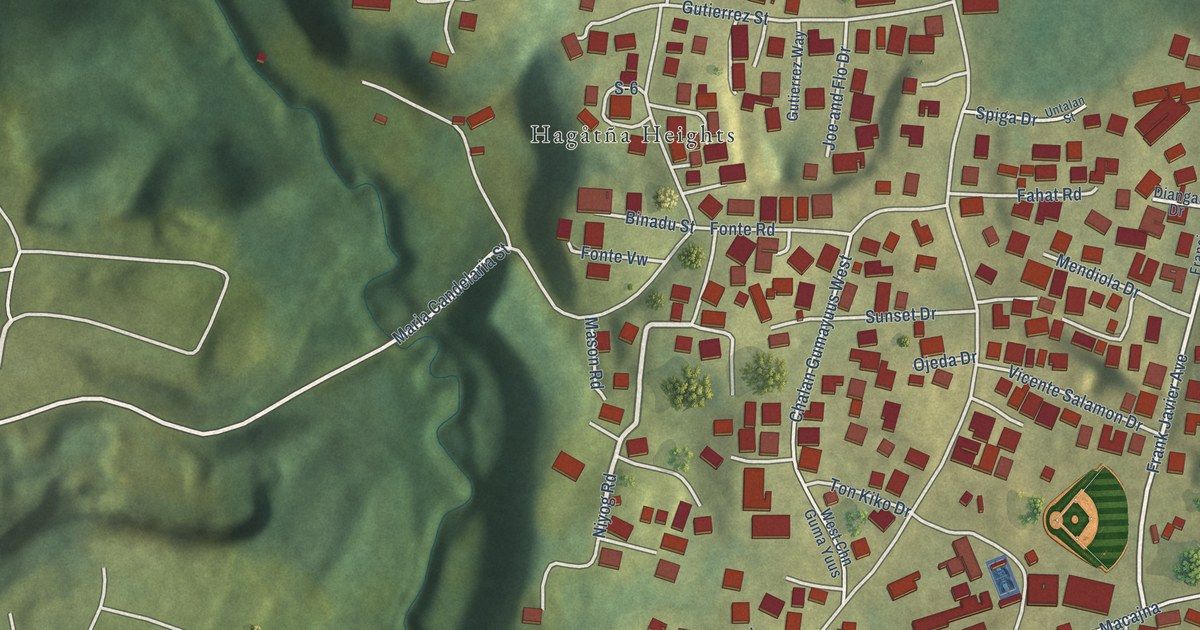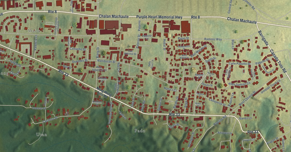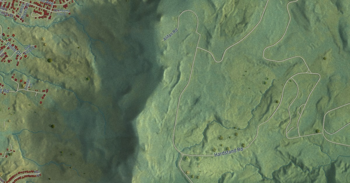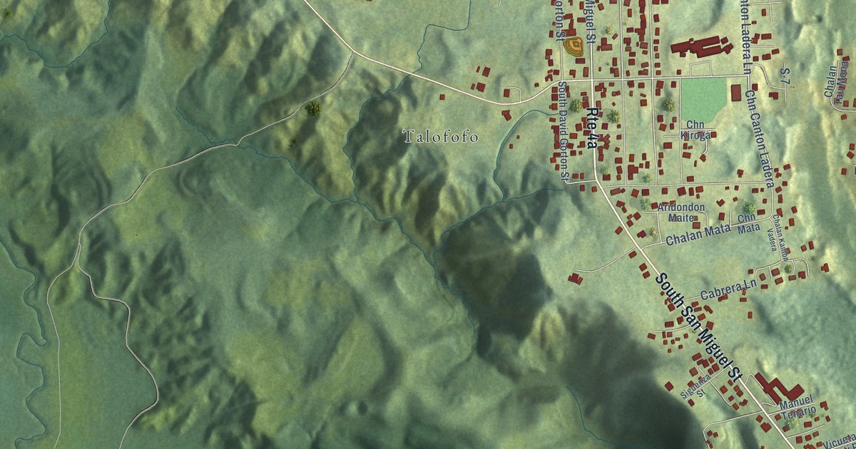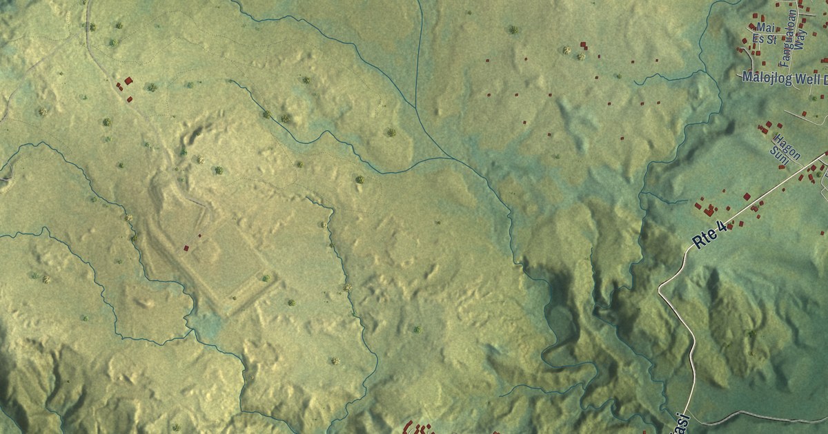
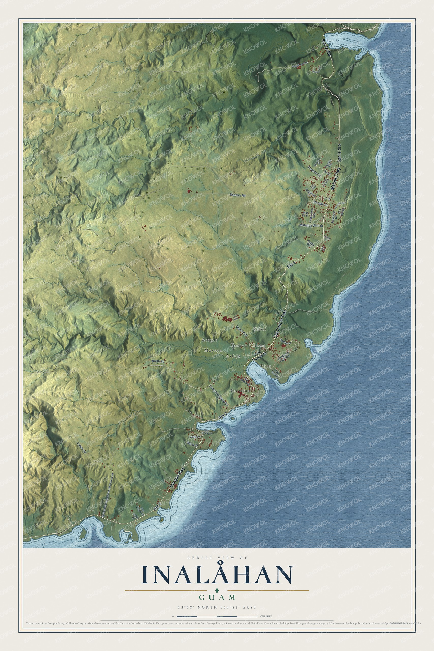
This beautifully detailed map of Inalåhan, Guam was created in 2026 using aerial imagery combined with modern topographical, census, street and landmark data. It's a modern aerial view of the village of Inalåhan, Guam, that combines modern data with a vintage aesthetic. The roads feature printed names, and if you look closely you can find your exact house accurately shown in its correct location.
Explore an aerial view of Inalåhan, Guam
On this map you'll find Peca, Tumon Chama, Yabai, Inarajan, Asagas, Mayaya, Asfaja, Inarajan Highway, San Isidro, Chn Canton Tasi, Malojioj Highway, S-15, and more. Each red shape is a building, so zoom in on the preview and look for yours.
Inalåhan has a story worth telling. The Guampedia puts it this way: "The village’s CHamoru/Chamorro name, Inalåhan, probably refers to the åla or large woven coconut-leaf harvest baskets for which the village was noted."
Inalåhan is one of the 19 villages of Guam. The Census Bureau counted 2,317 people here in 2020.
Take a closer look at the Inalåhan map
Names on this map
These names are printed on this map.
Places: Peca, Tumon Chama, Yabai, Inarajan, Asagas, Mayaya and Asfaja.
Streets and roads: Inarajan Highway, San Isidro, Chn Canton Tasi, Route 4, Malojioj Highway, S-15, Dandan Road, Lower Ija, Belen Avenue, Paulino Heights, Liang Kin Chele Circle, North Road.
More street names, A to Z
Agricultural Experimental Station Road, Alageta Circle, Apman Drive, Barcinas Drive, Bear Rock Lane, Ben Diego Road, Bilemines Road, Chagamin Lago Avenue, Chandiha Way, Chn Atdao, Chn Ayuyu, Chn Guefan, Chn Kafe, Chn San Nicolas Road, Chotda Drive, Fangualoan Way, Fioles Way, Flores Circle, Hagon Suni, Kalamasa Circle, Lada Lane, Mai Es Street, Malojlog Well Drive, Mara Street, Pale Duenas Street, S-3, Salok Street, San Jose Avenue, Sigidiyas Lane, Wolford Road.
See it on a wall
The Inalåhan map as a framed print. Swipe for more.


Created by KNOWOL in 2026. The buildings are small red shapes, the roads carry their printed names, and shaded relief shows the shape of the land. The title panel reads "AERIAL VIEW OF INALÅHAN, GUAM" with 13°18' NORTH 144°44' EAST.
It looks right in a kitchen, an office or a den, and it's a gift for anyone who grew up in Inalåhan or moved away. Open the preview and find your street. See sizes and frames for the Inalåhan map.