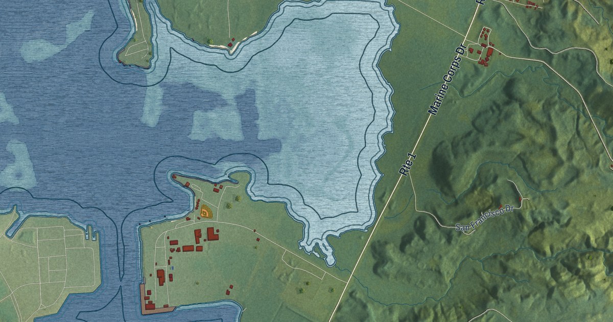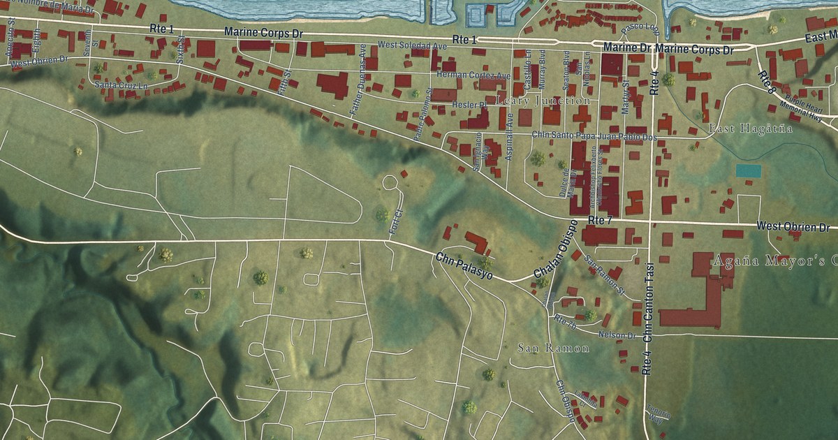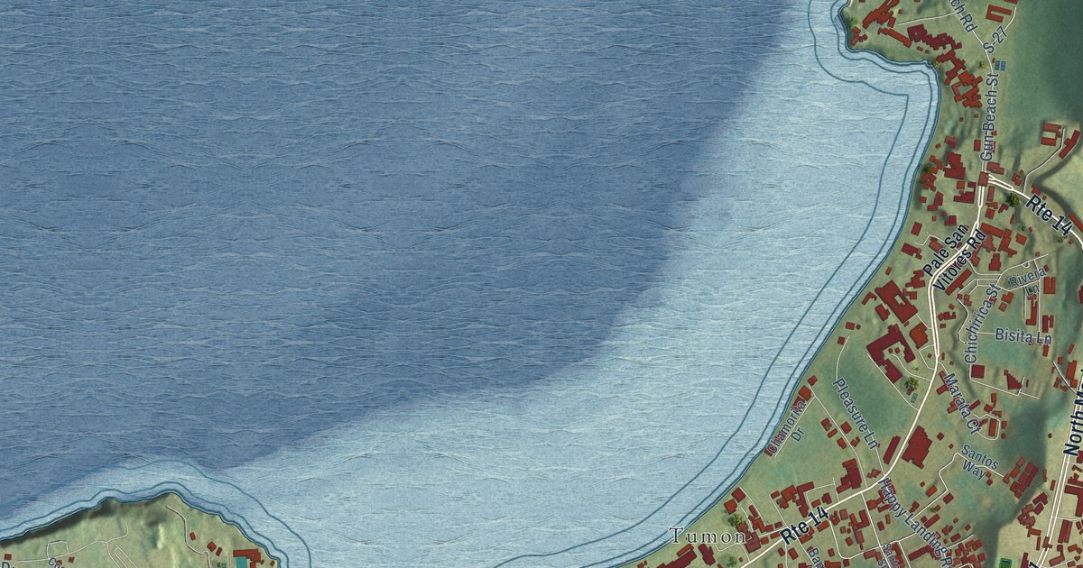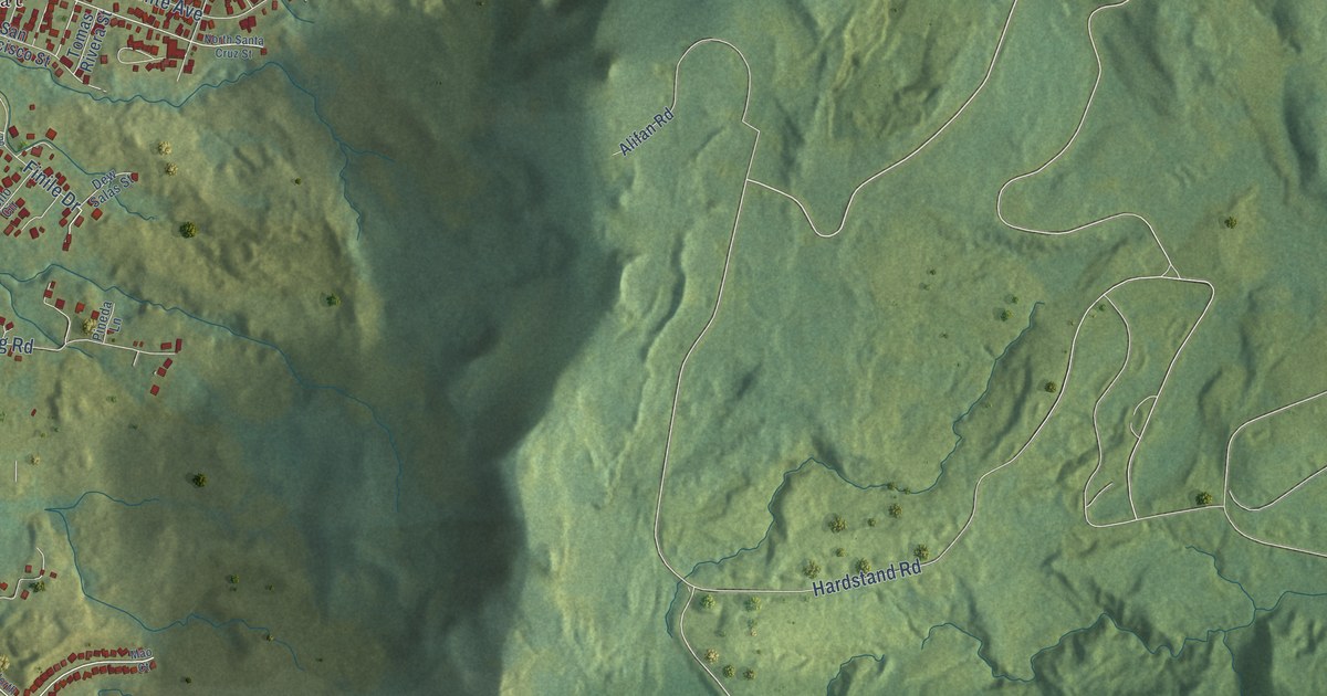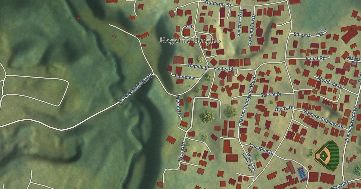
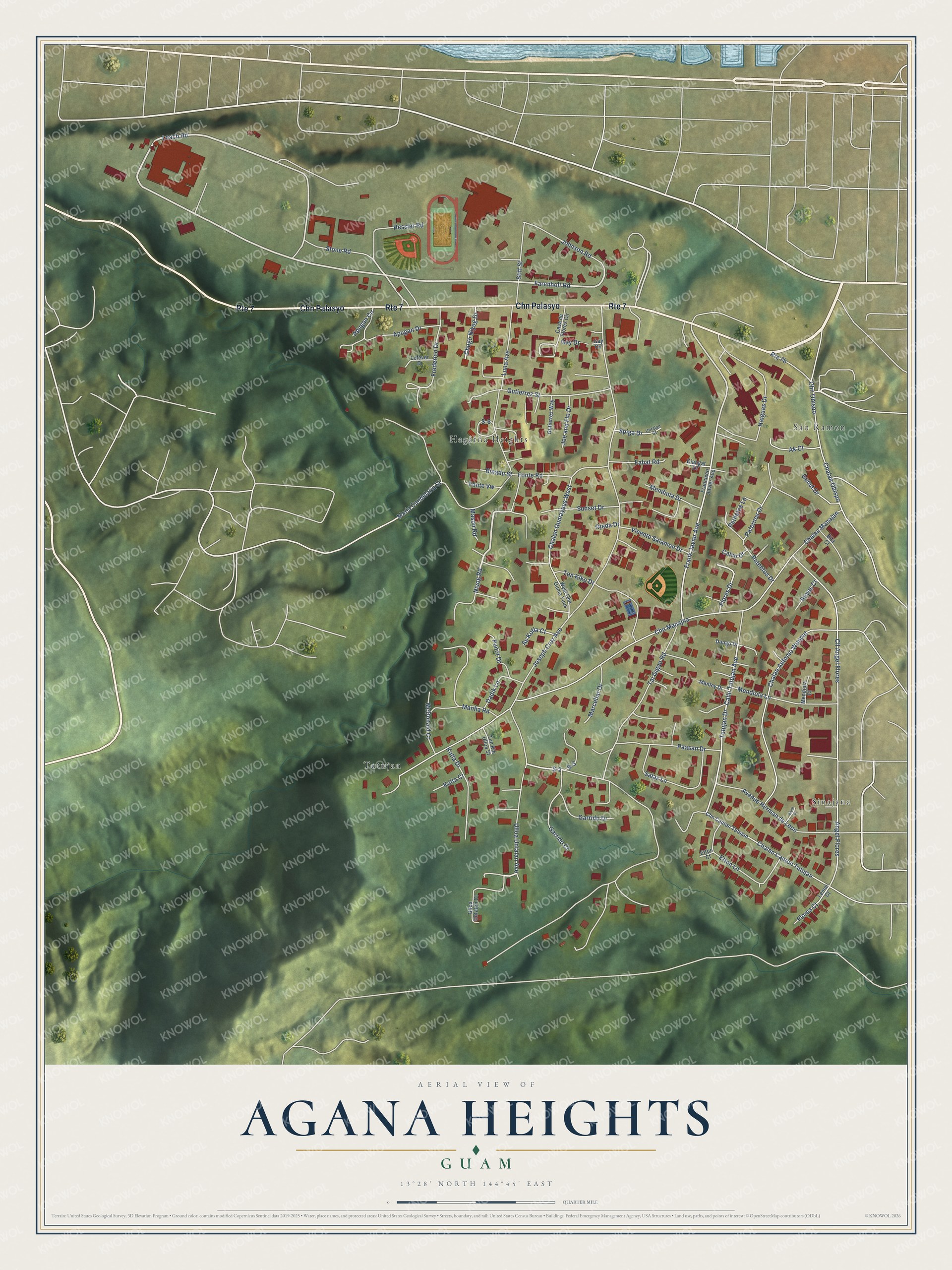
This beautifully detailed map of Agana Heights, Guam was created in 2026 using aerial imagery combined with modern topographical, census, street and landmark data. It's a modern aerial view of the village of Agana Heights, Guam, that combines modern data with a vintage aesthetic. The roads feature printed names, and if you look closely you can find your exact house accurately shown in its correct location.
Explore an aerial view of Agana Heights, Guam
On this map you'll find Hagåtña Heights, Sinajana, Tutujan, San Ramon, Chn Palasyo, Leach Road, Niyog Road, Farenholt Road, Frank Javier Avenue, Calle Tutujan Avenue, S-2, Maria Candelaria Street, and more. Each red shape is a building, so zoom in on the preview and look for yours.
Agana Heights has a story worth telling. The Guampedia puts it this way: "The village grew substantially after World War II, as people who owned land in Agana Heights moved there since the bombed capital of Hagåtña was off limits."
Agana Heights is one of the 19 villages of Guam. The Census Bureau counted 3,673 people here in 2020.
Take a closer look at the Agana Heights map
Names on this map
These names are printed on this map.
Places: Hagåtña Heights, Sinajana, Tutujan and San Ramon.
Streets and roads: Chn Palasyo, Route 7, Leach Road, Niyog Road, Farenholt Road, Frank Javier Avenue, Calle Tutujan Avenue, S-2, Maria Candelaria Street, Chugo Niyog Drive, Angel Flores, Chn Macajna.
More street names, A to Z
Ak Court, Alum Court, Apugan Circle, Apugan Drive, As Kotla Court, Avenue Herman de Leon, Binadu Street, Bita Court, Calvo Drive, Casa de Flores Circle, Chalan Antonio Wonpat, Chalan Canton Tutujan, Chalan Gumayuus West, Chalan Macajan, Chalan Obispo, Chn Canton Tutujan, Chn Obispo, Cll Angel Flores, Dadik Lane, Diangat Drive, Dongo Drive, Etton Court, Etton Lane, Fahat Road, Flores Court, Flores Drive, Fonte Road, Fonte Vw, Francisco Javier Avenue, Frederico Drive, Garrido Court, Garrido Drive, Gay Circle, Gay Drive, Gunut Drive, Gutierrez Street, Gutierrez Way, Haiguas Drive, Hessler Road, Joe and Flo Drive, Johnson Road, Joseph Cruz Avenue, Kolta Court, Kotla Drive, Lefever Drive, Lemai Court, Luna Avenue, Manha Road, Manley Drive, Marcellar Drive, Mason Road, McDonald Court, Mendiola Court, Mendiola Drive, Mendiola Lane, Ojeda Drive, Paasan Drive, Paternos Drive, Patnetos Drive, Patnetos Lane, Punot Drive, Reyes Court, S-3, S-6, Salas Lane, Spiga Drive, Stitt Street, Stone Road, Sunset Drive, Tai Gigao Road, Ton Kiko Drive, Tun Kin Ulloa Street, Tutujan Drive, Ulloa Untalan Avenue, Ulloa Untalan Court, Untalan Street, Vicente Salamon Drive, West Chn Guma Yuus.
See it on a wall
The Agana Heights map as a framed print. Swipe for more.


Created by KNOWOL in 2026. The buildings are small red shapes, the roads carry their printed names, and shaded relief shows the shape of the land. The title panel reads "AERIAL VIEW OF AGANA HEIGHTS, GUAM" with 13°28' NORTH 144°45' EAST.
It looks right in a kitchen, an office or a den, and it's a gift for anyone who grew up in Agana Heights or moved away. Open the preview and find your street. See sizes and frames for the Agana Heights map.