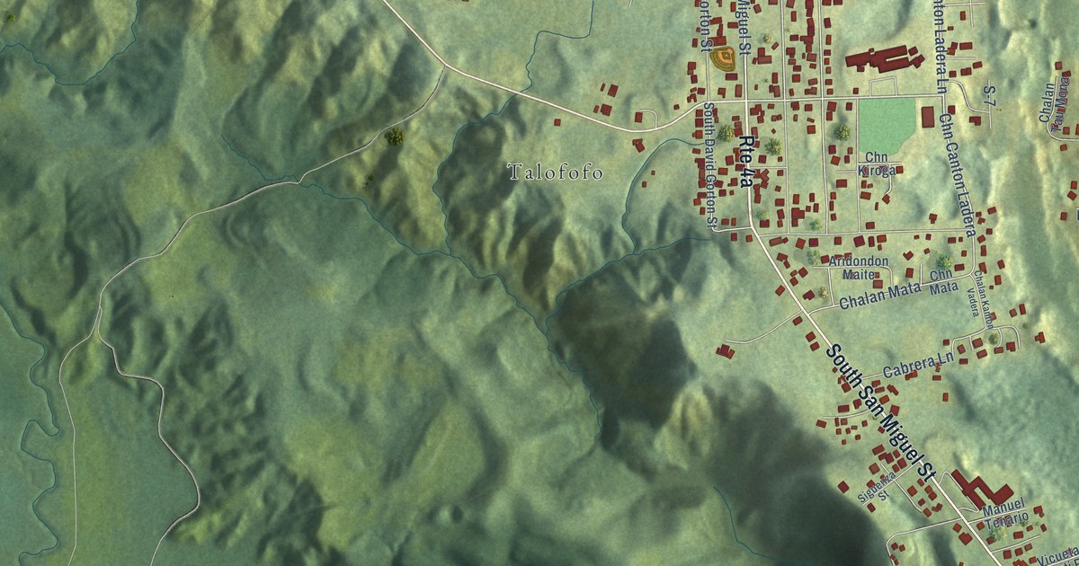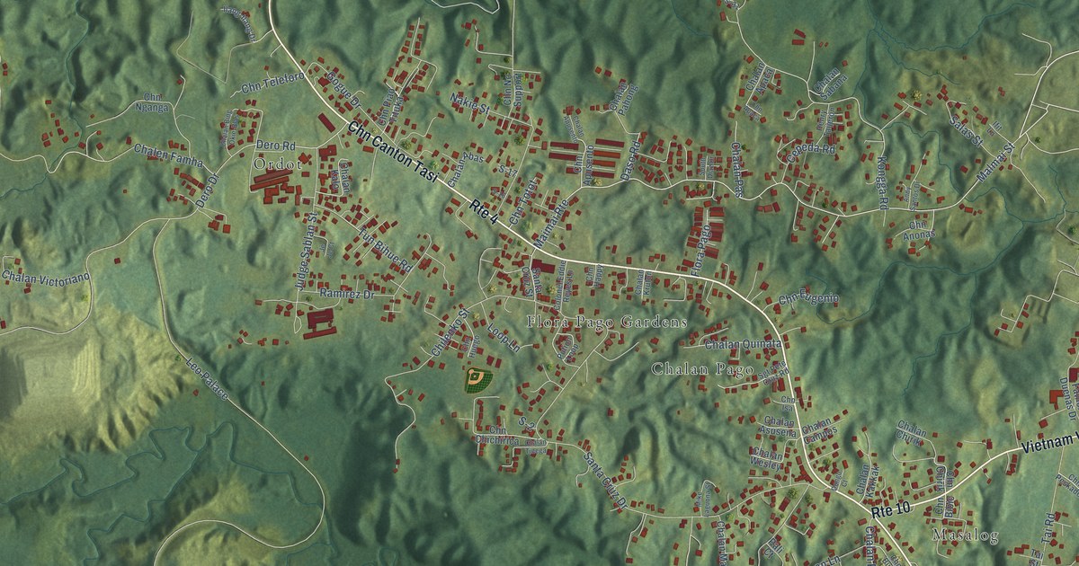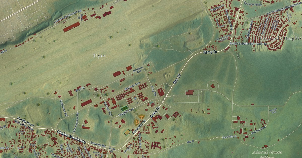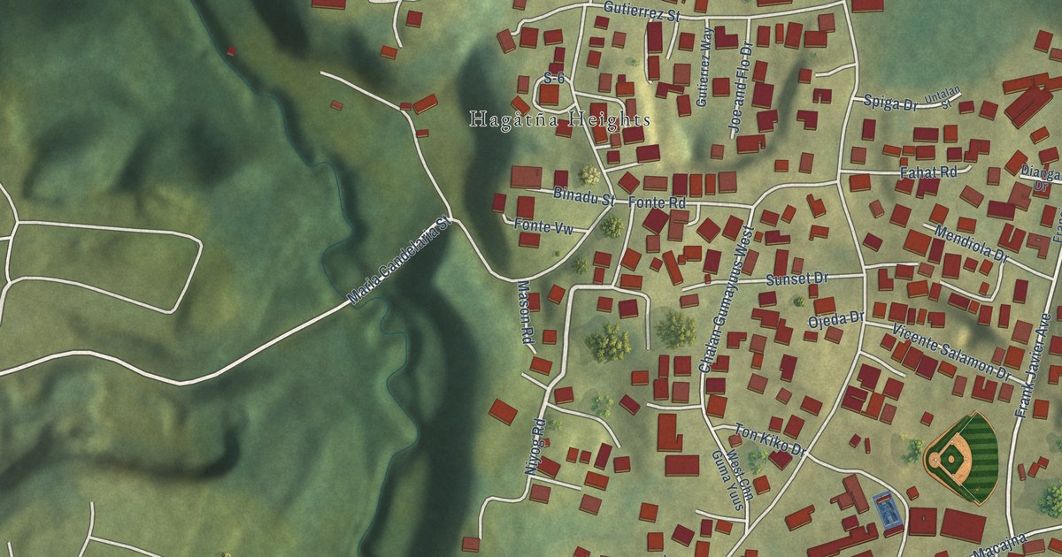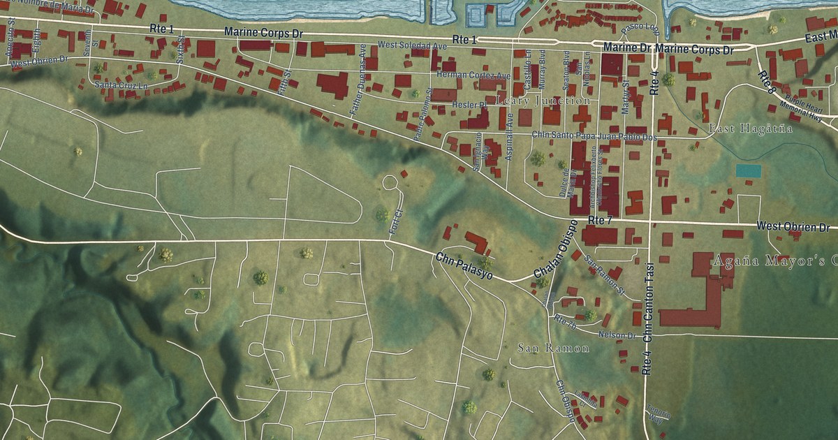
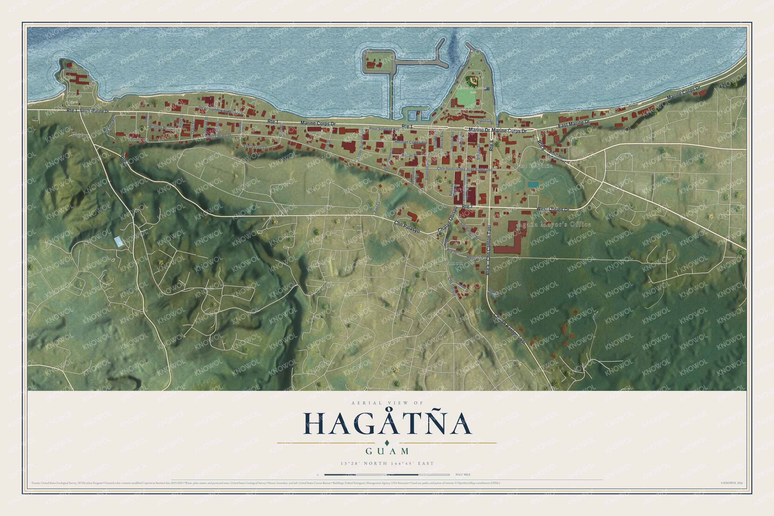
This beautifully detailed map of Hagåtña, Guam was created in 2026 using aerial imagery combined with modern topographical, census, street and landmark data. It's a modern aerial view of the village of Hagåtña, Guam, that combines modern data with a vintage aesthetic. The roads feature printed names, and if you look closely you can find your exact house accurately shown in its correct location.
Explore an aerial view of Hagåtña, Guam
On this map you'll find Agaña Mayor's Office, Paseo de Susana Park, Adelup Park, Anigua, San Ramon, East Hagåtña, Leary Junction, Pigo, Marine Corps Drive, East Marine Drive, West Obrien Drive, Marine Drive, and more. Each red shape is a building, so zoom in on the preview and look for yours.
Every town has a first chapter, and Hagåtña is no exception. The Guampedia puts it this way: "The capital of Guam, Hagåtña is the seat of the island’s three branches of government: Judicial, Legislative, and Executive as well as the religious center for the Catholic Church."
Hagåtña is one of the 19 villages of Guam. The Census Bureau counted 943 people here in 2020.
Take a closer look at the Hagåtña map
Names on this map
These names are printed on this map.
Places: Agaña Mayor's Office, Paseo de Susana Park, Adelup Park, Anigua, San Ramon, East Hagåtña, Leary Junction and Pigo.
Streets and roads: Marine Corps Drive, East Marine Drive, Route 8, West Obrien Drive, Route 1, Marine Drive, Chalan Kanton Tasi, Route 4, Chalan Obispo, Route 7, Chn Canton Tasi, Chn Palasyo.
More street names, A to Z
Anecito Street, Archbishop Felixberto Chamacho Flores Street, Aspinall Avenue, Bradley Place, Bradly Place, Castillo Lane, Charita Road, Chln Santo Papa Juan Pablo Dos, Chn Obispo, Dulce de Maria Drive, Dulce Nombre de Maria Drive, Eighth, Father Duenas Avenue, Fifth Street, Fort Court, Governors Complex North Lp, Herman Cortez Avenue, Hesler Place, Lalanhita Court, Martyr Street, Murray Boulevard, Nelson Drive, Ninth Street, Olaiz Street, Padre Palomo Street, Pasco Loop, Purple Heart Memorial Highway, S-11, San Ignacio Way, San Nicolas Lane, San Ramon Street, Santa Cruz Lane, Seaton Boulevard, Seventh Street, Sixth Street, South Marine Drive, Tenorio Way, Tenth Street, West Soledad Avenue.
See it on a wall
The Hagåtña map as a framed print. Swipe for more.


Created by KNOWOL in 2026. The buildings are small red shapes, the roads carry their printed names, and shaded relief shows the shape of the land. The title panel reads "AERIAL VIEW OF HAGÅTÑA, GUAM" with 13°28' NORTH 144°45' EAST.
Hang it in the hallway, the office or the cabin, or give it to someone who left Hagåtña and still calls it home. Open the preview and look for a street you know. See sizes and frames for the Hagåtña map.