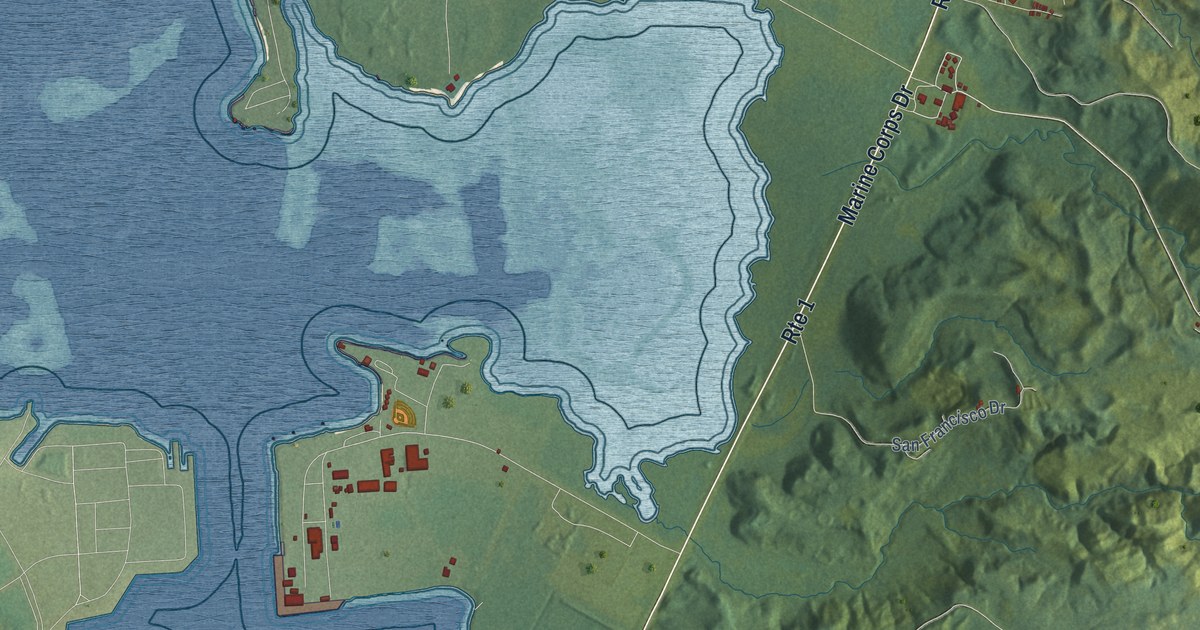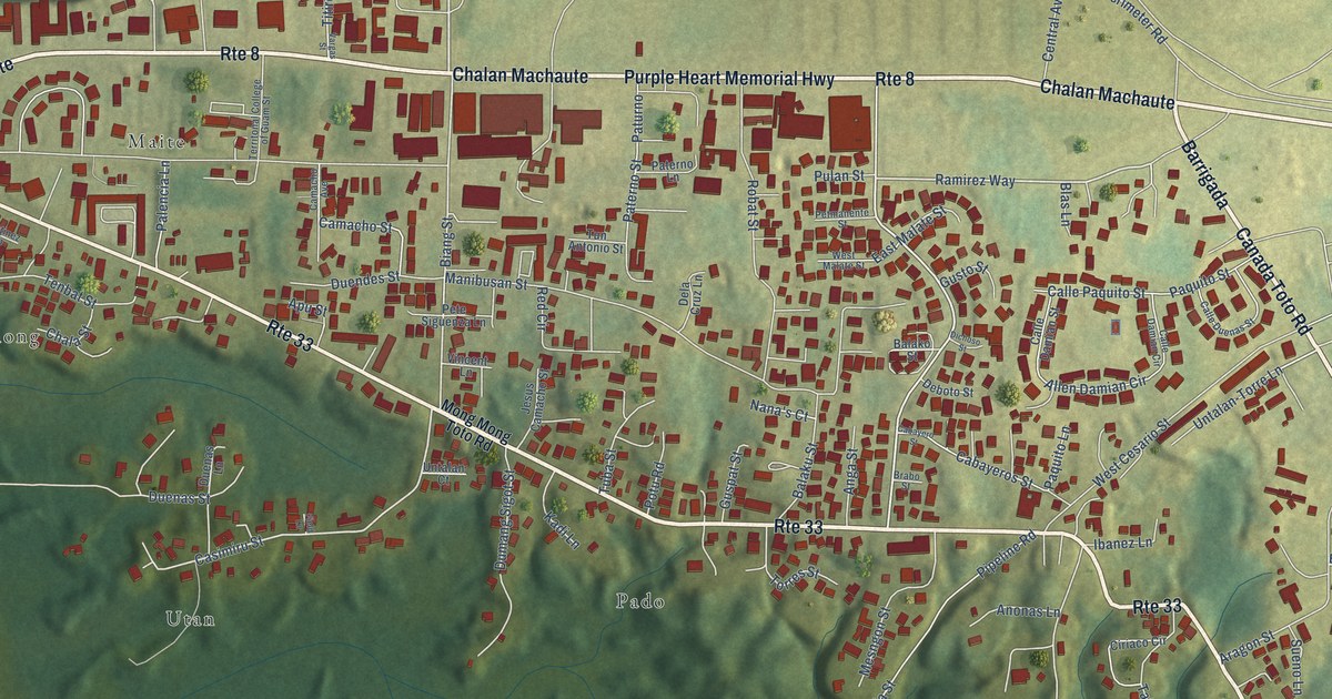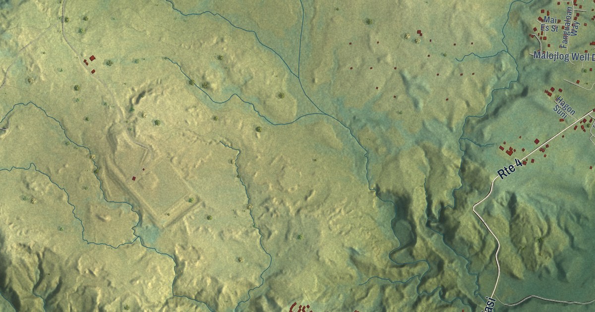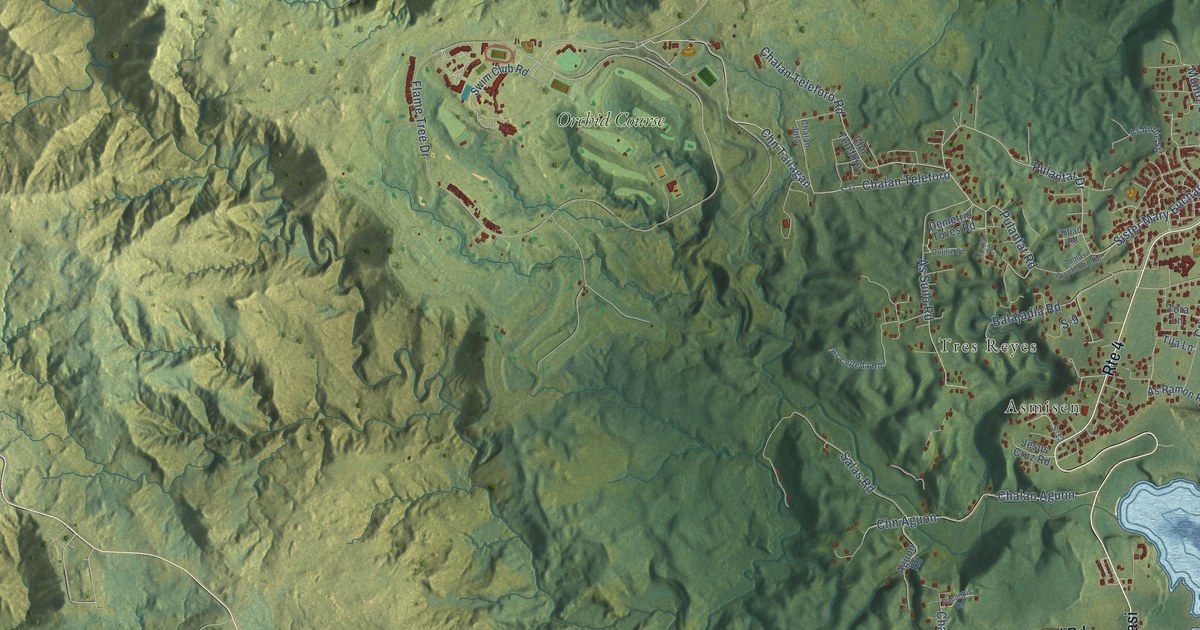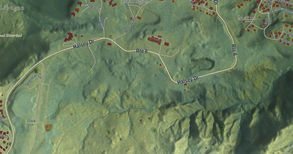
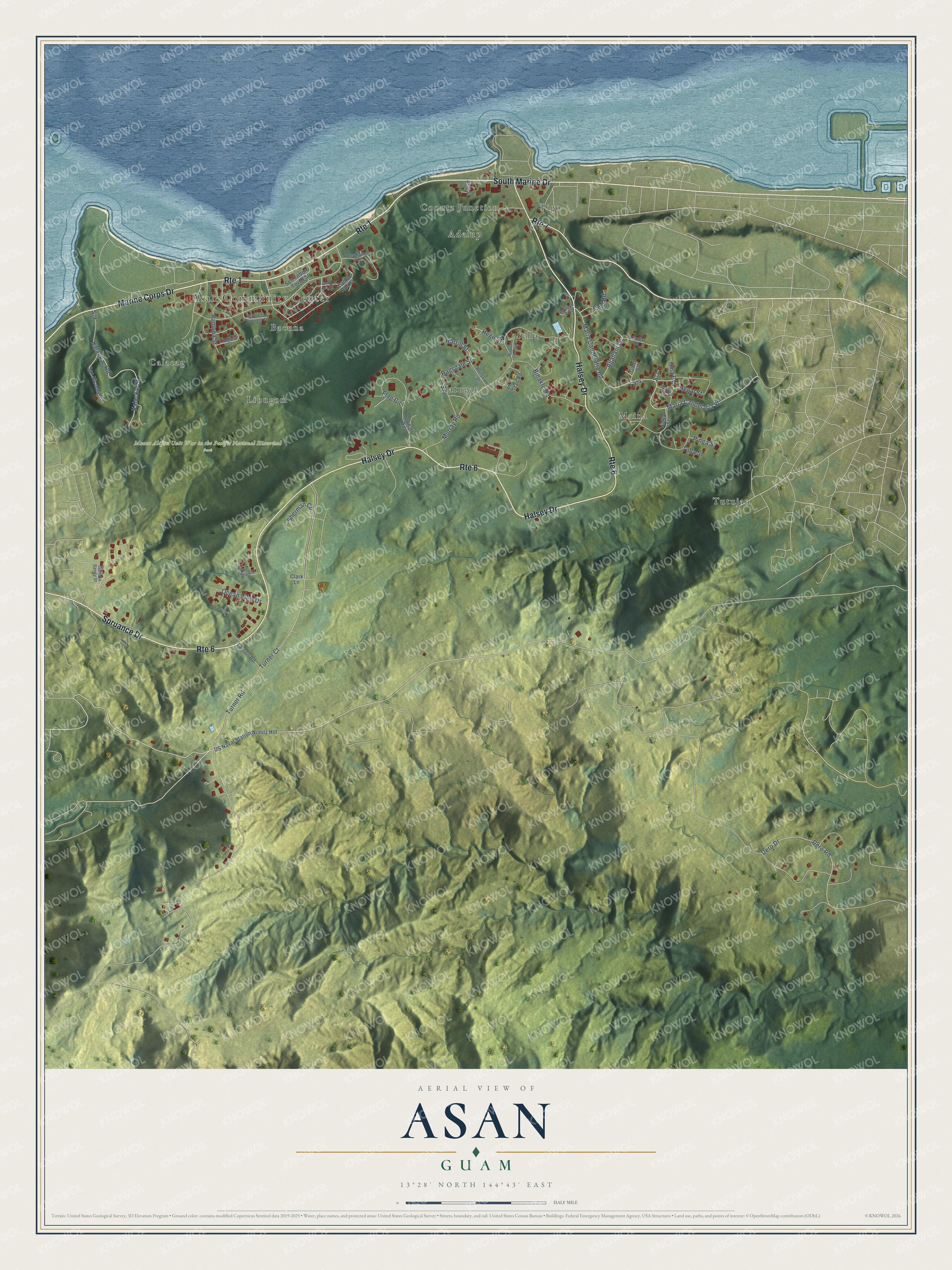
This beautifully detailed map of Asan, Guam was created in 2026 using aerial imagery combined with modern topographical, census, street and landmark data. It's a modern aerial view of the village of Asan, Guam, that combines modern data with a vintage aesthetic. The roads feature printed names, and if you look closely you can find your exact house accurately shown in its correct location.
Explore an aerial view of Asan, Guam
On this map you'll find Asan Community Center, Mount Alifan Unit War in the Pacific National Historical Park, Tutujan, Sella, Coontz Junction, Maina, Calacag, Pigo, Matugan, Libugon, Bacuna, Adelup, and more. Each red shape is a building, so zoom in on the preview and look for yours.
Asan has a story worth telling. The Guampedia puts it this way: "The village of Asan was predominantly a fishing village in pre-Spanish times that switched to farming with the settlement of the Spaniards."
Asan is one of the 19 villages of Guam. The Census Bureau counted 2,011 people here in 2020.
Take a closer look at the Asan map
Names on this map
These names are printed on this map.
Places: Asan Community Center, Mount Alifan Unit War in the Pacific National Historical Park, Tutujan, Sella, Coontz Junction, Maina, Calacag, Pigo, Matugan, Libugon, Bacuna and Adelup.
Streets and roads: Marine Corps Drive, Route 1, Halsey Drive, Route 6, Spruance Drive, South Marine Drive, Route 7, Maria Candelaria Road, Maria Candelaria Street, Hego Street, Turner Road, Binakle Road.
More street names, A to Z
Agaham Lane, Ahu Street, Atnebat Road, Biradan Kamyo, Biradan Tika, Clark Lane, Consolation Street, Dero Drive, Dero Road, Field Road, Flag Circle, Gafo Street, Gotee Street, Harrill Street, Hatsa Street, Hegai Street, Kalackac Road, Kalackal Street, Larson Road, Limtiaco Court, Mamma Sandy Street, Msgnr Leon Guerrero Court, Murray Road, Ocean View Drive, Peacock Alley, Pinga Street, Pownall Road, Ragsdale Street, Ramona Street, Reifsnider Street, S-3, S-4, S-9, Saltan Road, San Nicolas Road, Santa Ana Lane, Santa Ana Street, Sen Tedoro Toves Street, Sherman Circle, Tuba Street, Turner Court, Uma Court, US Naval Station Nimitz Hill.
See it on a wall
The Asan map as a framed print. Swipe for more.


Created by KNOWOL in 2026. The buildings are small red shapes, the roads carry their printed names, and shaded relief shows the shape of the land. The title panel reads "AERIAL VIEW OF ASAN, GUAM" with 13°28' NORTH 144°43' EAST.
It looks right in a kitchen, an office or a den, and it's a gift for anyone who grew up in Asan or moved away. Open the preview and find your street. See sizes and frames for the Asan map.