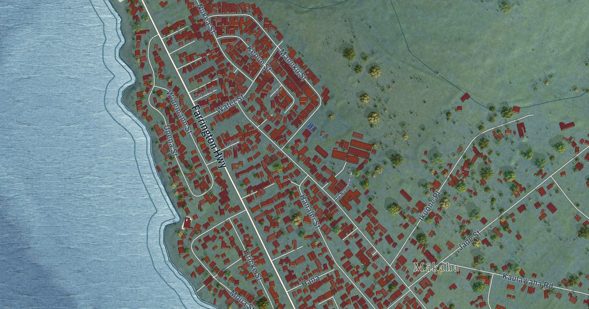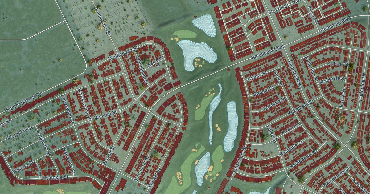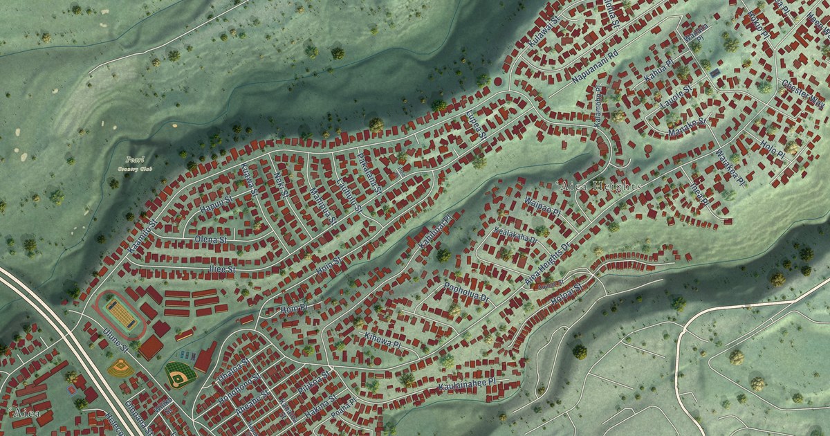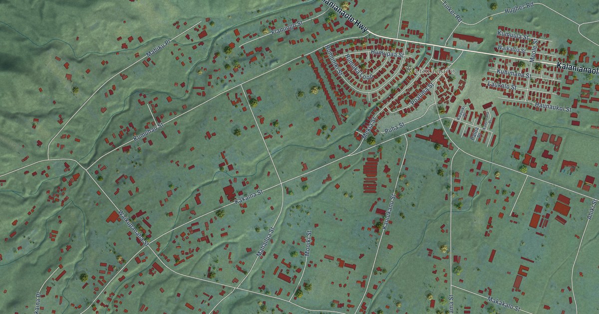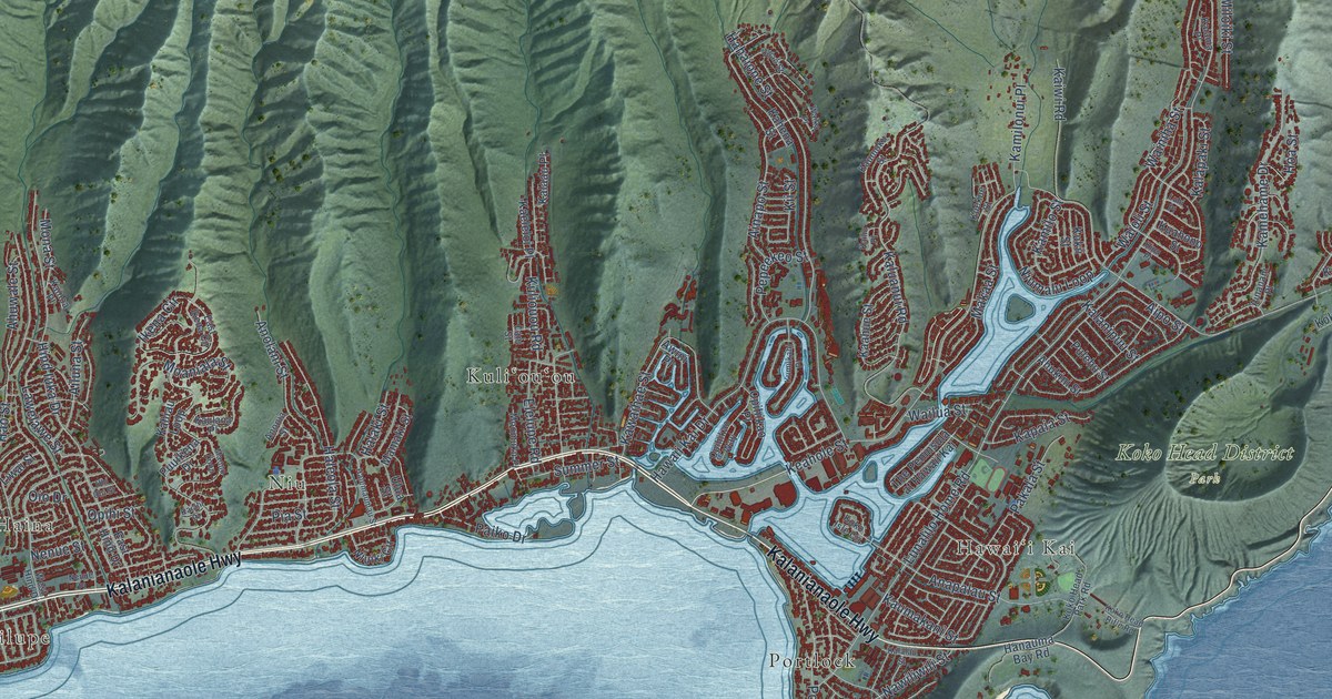
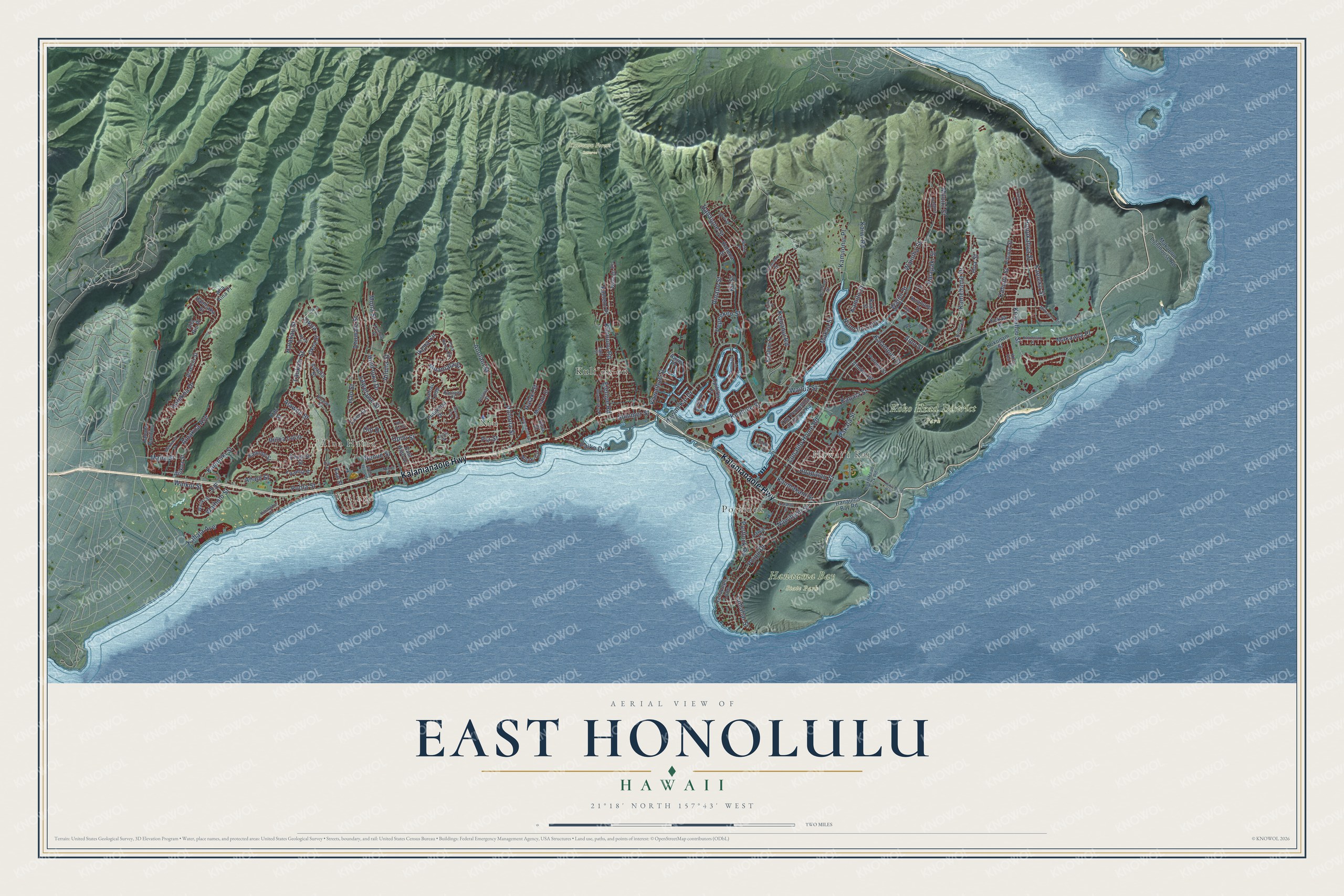
This beautifully detailed map of East Honolulu, Hawaii was created in 2026 using aerial imagery combined with modern topographical, census, street and landmark data. It's a modern aerial view of East Honolulu in Honolulu County, Hawaii, that combines modern data with a vintage aesthetic. The roads feature printed names, and if you look closely you can find your exact house accurately shown in its correct location.
Explore an aerial view of East Honolulu, Hawaii
On this map you'll find Wailupe, ʻĀina Haina, Niu, Hawaiʻi Kai, Hanauma Bay State Park, Koko Head District Park, Kuliouou Forest Reserve, Kuliʻouʻou, Portlock, Kalanianaole Highway, Keahole Street, Summer Street, and more. Each red shape is a building, so zoom in on the preview and look for yours.
Here is a piece of East Honolulu history, in the words of the record. The Images of Old Hawaii puts it this way: "Kaiser Aetna dredged and filled parts of Kuapa Pond, erected retaining walls and built bridges within the development to create the Hawaii Kai Marina."
East Honolulu is a community in Honolulu County. The Census Bureau counted 50,922 people here in 2020.
Take a closer look at the East Honolulu map
Names on this map
These names are printed on this map.
Places: Wailupe, ʻĀina Haina, Niu, Hawaiʻi Kai, Hanauma Bay State Park, Koko Head District Park, Kuliouou Forest Reserve, Kuliʻouʻou and Portlock.
Streets and roads: Kalanianaole Highway, Keahole Street, Summer Street, Laukahi Street, Kaluanui Road, Hawaii Kai Drive, Lunalilo Home Road, Halekoa Drive, Poola Street, Kealahou Street, Poipu Drive, Kaumakani Street.
More street names, A to Z
Aha Aina Place, Aha Niu Place, Ahukini Street, Ahuwale Street, Ailuna Street, Ainakoa Avenue, Ainanani Place, Ainapo Street, Aipo Street, Alaeloa Street, Alaweo Street, Aliikoa Street, Analii Street, Anapalau Street, Anolani Street, Anonia Street, Awini Place, East Hind Drive, East Ikena Circle, Ehupua Street, Elelupe Road, Hahaione Street, Halakau Street, Halaki Street, Halehaka Street, Halemaumau Street, Haleola Street, Hanapepe Loop, Hanauma Bay Road, Hao Street, Hind Iuka Drive, Hoa Street, Honokahua Street, Ihiloa Loop, Ikena Circle, Iki Place, Kaahue Street, Kaai Street, Kaeleku Street, Kaeleloi Place, Kahala Avenue, Kahala Pacifica, Kahena Street, Kahiau Loop, Kahului Street, Kaialii Place, Kaiama Place, Kailiu Place, Kaimoku Place, Kainoa Place, Kaiwi Road, Kalaau Place, Kalalau Street, Kalaniiki Street, Kalanipuu Street, Kalapaki Street, Kalohelani Place, Kamehame Drive, Kamilonui Place, Kamilo Street, Kamole Street, Kapaia Street, Kaulana Place, Kaumoku Street, Kawaihae Street, Kekaa Street, Kiai Place, Kihi Street, Kii Street, Kipu Place, Koko Head Park Road, Koko Head Rifle Road, Koko Isle Circle, Koko Kai Place, Kokonani Street, Kuahono Street, Kuaiwi Place, Kuaola Street, Kuekue Street, Kukii Street, Kuliouou Road, Kumukahi Place, Laamia Street, Lani Street, Lawai Street, Lawelawe Street, Liwai Street, Luhi Place, Lumahai Street, Makaaoa Place, Makaa Street, Makaikoa Street, Makapuu Lighthouse Road, Malia Street, Mamaki Street, Maono Loop, Miloiki Street, Moaniala Street, Mokuhano Street, Mona Street, Moomuku Place, Nawiliwili Street, Nenue Place, Nenue Street, Niuiki Circle, Niumalu Loop, Nuna Street, Oio Drive, Okoa, Okoa Place, Okoa Street, Opihikao Place, Opihikao Way, Opihi Street, Paiko Drive, Pakala Street, Papalalo Place, Pepeekeo Street, Pia Street, Pihana Street, Portlock Road, Pulehu Street, Puuikena Drive, The Peninsula at Hawaii Kai, Uhi Uhi Street, Ulua Street, Uwao Street, Waiholo Street, Waiiki Street, Waika Place, Waikui Street, Wailua Street, Wainiha Street, Waioli Street, West Hind Drive.
See it on a wall
The East Honolulu map as a framed print. Swipe for more.


Created by KNOWOL in 2026. The buildings are small red shapes, the roads carry their printed names, and shaded relief shows the shape of the land. The title panel reads "AERIAL VIEW OF EAST HONOLULU, HAWAII" with 21°18' NORTH 157°43' WEST.
It suits a den, a classroom or a front hall, and it makes a gift for anyone with East Honolulu roots. Open the preview and find the block you know. See sizes and frames for the East Honolulu map.