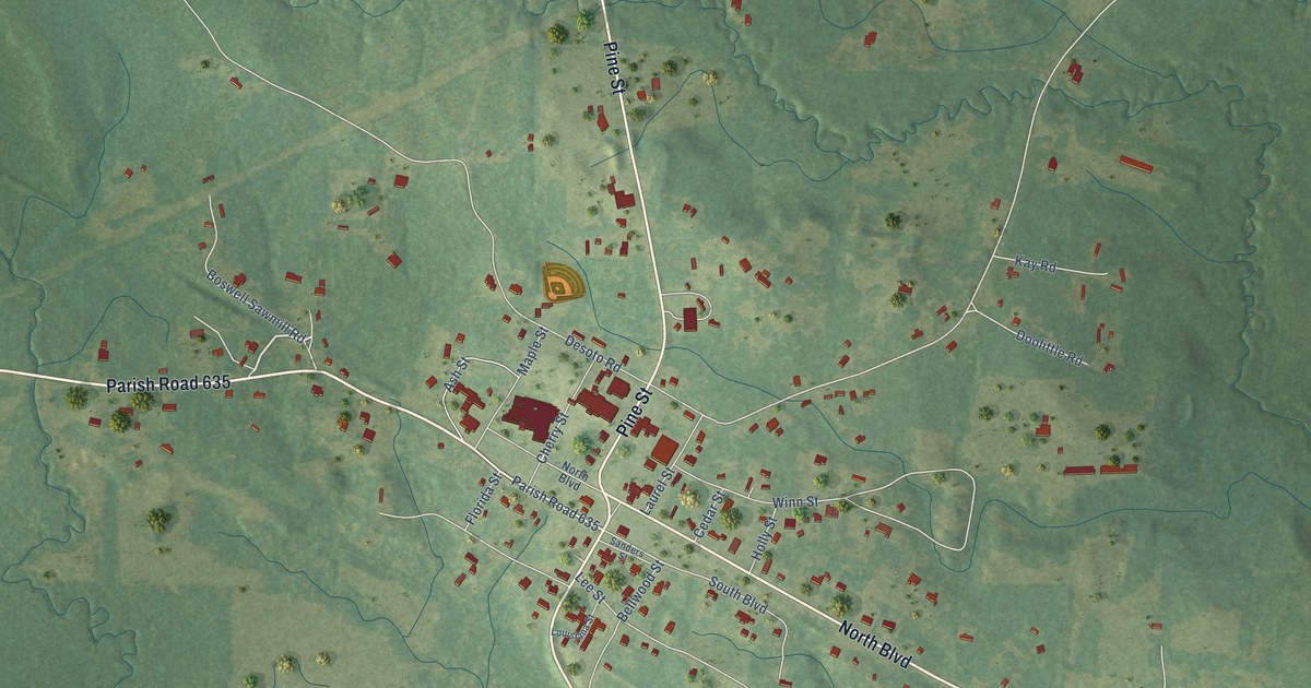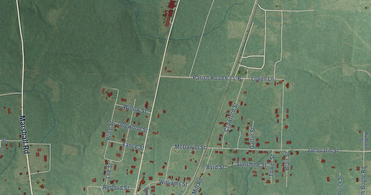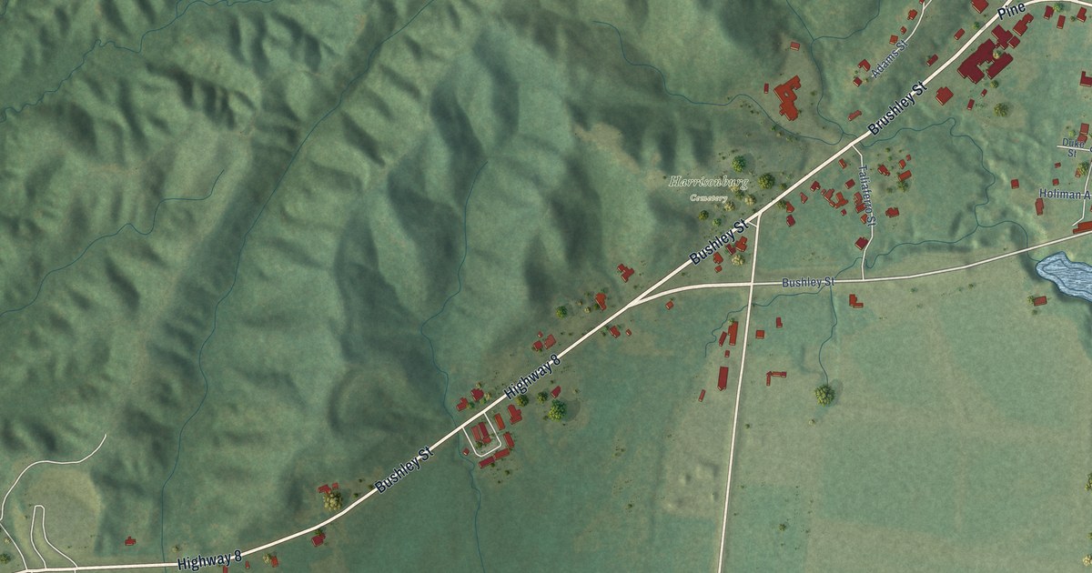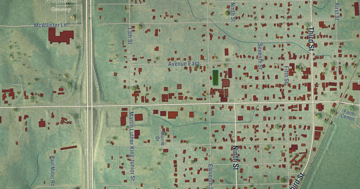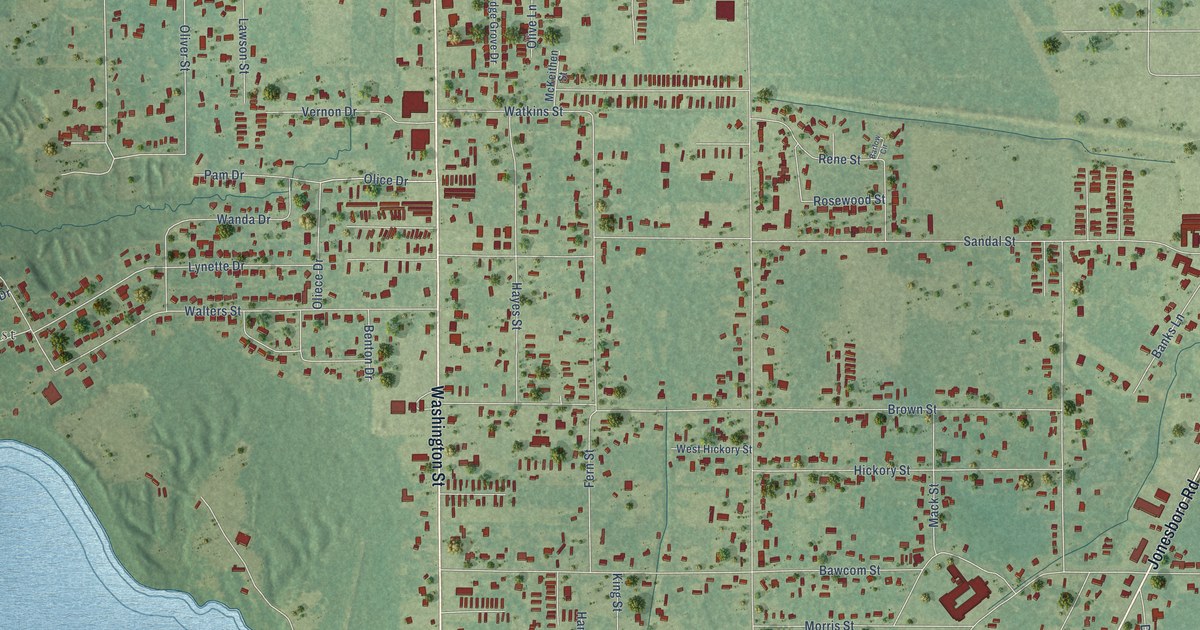
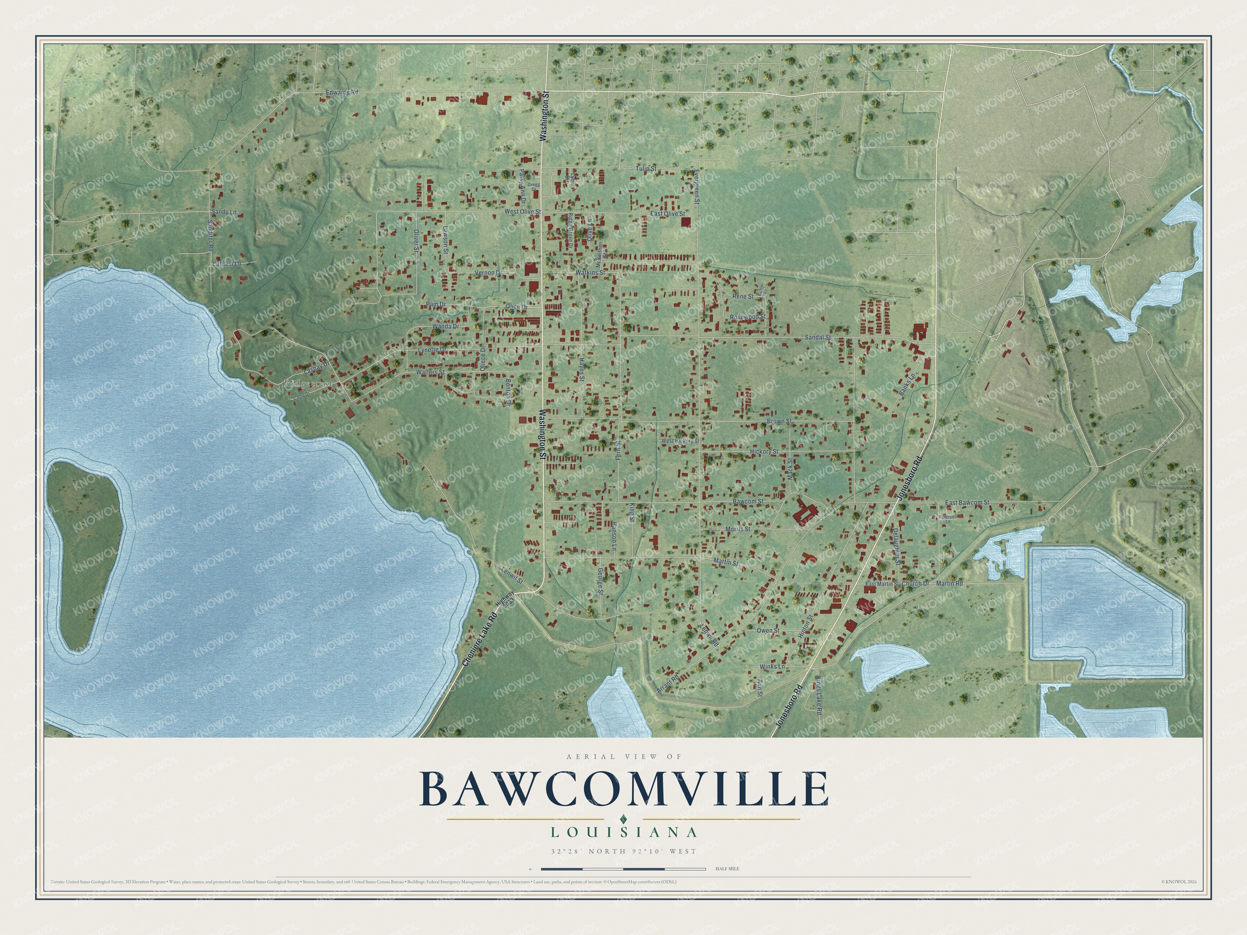
This beautifully detailed map of Bawcomville, Louisiana was created in 2026 using aerial imagery combined with modern topographical, census, street and landmark data. It's a modern aerial view of Bawcomville in Ouachita Parish, Louisiana, that combines modern data with a vintage aesthetic. The roads feature printed names, and if you look closely you can find your exact house accurately shown in its correct location.
Explore an aerial view of Bawcomville, Louisiana
On this map you'll find Ridgecrest, Washington Street, Jonesboro Road, Cheniere Lake Road, Church Drive, Olice Drive, West Olive Street, Evergreen Street, Edwards Road, Sandal Street, Bawcom Street, Walters Street, and more. Each red shape is a building, so zoom in on the preview and look for yours.
Here is a piece of Bawcomville history. The Bawcomville flood control pumps were first built in 1955 to protect two residential communities from flooding on the Ouachita River. In 2003 Senator Landrieu of Louisiana told the Senate that more pumping capacity was needed to reduce interior flooding as the area grew. That's from the Congressional Record.
Bawcomville is a community in Ouachita Parish. The Census Bureau counted 3,472 people here in 2020. Bawcomville sits about 2 miles southwest of Brownsville, 3 miles southwest of West Monroe and 5 miles south of Claiborne. The map prints the town name in its title panel, with the coordinates below it.
Take a closer look at the Bawcomville map
Names on this map
These names are printed on this map.
Places: Ridgecrest.
Streets and roads: Washington Street, Jonesboro Road, Cheniere Lake Road, Church Drive, Olice Drive, West Olive Street, Evergreen Street, Edwards Road, Sandal Street, Bawcom Street, Walters Street, Hinton Street.
More street names, A to Z
Ann Street, Arrant Road, Banks Lane, Barlow Circle, Benton Drive, Brown Street, Camp Drive, Delaughter Street, East Bawcom Street, East Martin Street, East Olive Street, Fern Street, George Street, Gregg Drive, Hanson Lane, Hayes Street, Hickory Street, Highway 3033, Kings Lake Road, King Street, Lashay Drive, Latham Lane, Lawson Street, Lenwil Road, Lenwil Street, Lynette Drive, Lynn Circle, Mack Street, Martin Road, Martin Street, McKeithen Street, Morris Street, Oliece Drive, Olive Lane, Oliver Street, Owen Street, Pam Drive, Patsy Ann Drive, Peterson Lane, Rene Street, Ridge Grove Drive, Rosewood Street, Sandifer Road, Sandy Lane, Tulip Street, Vernon Drive, Wanda Drive, Watkins Street, West Hickory Street, Winks Lane.
See it on a wall
The Bawcomville map as a framed print. Swipe for more.


Created by KNOWOL in 2026. The buildings are small red shapes, the roads carry their printed names, and shaded relief shows the shape of the land. The title panel reads "AERIAL VIEW OF BAWCOMVILLE, LOUISIANA" with 32°28' NORTH 92°10' WEST.
It suits a den, a classroom or a front hall, and it makes a gift for anyone with Bawcomville roots. Open the preview and find the block you know. See sizes and frames for the Bawcomville map.