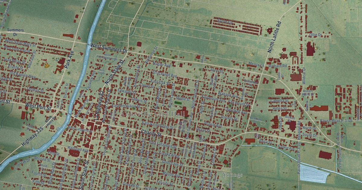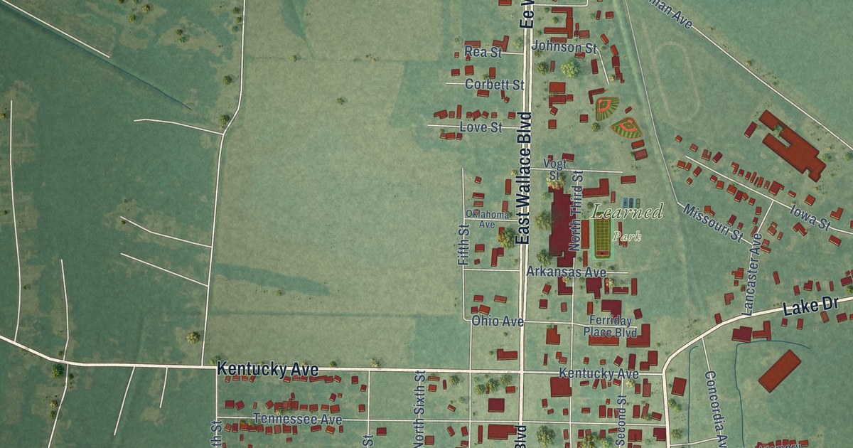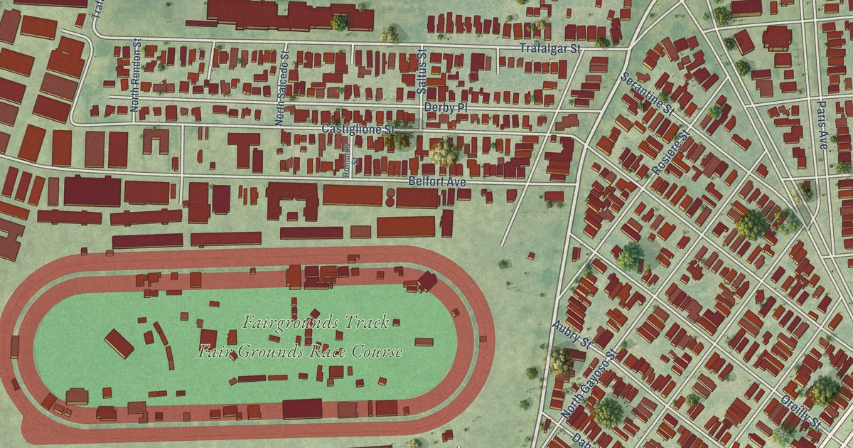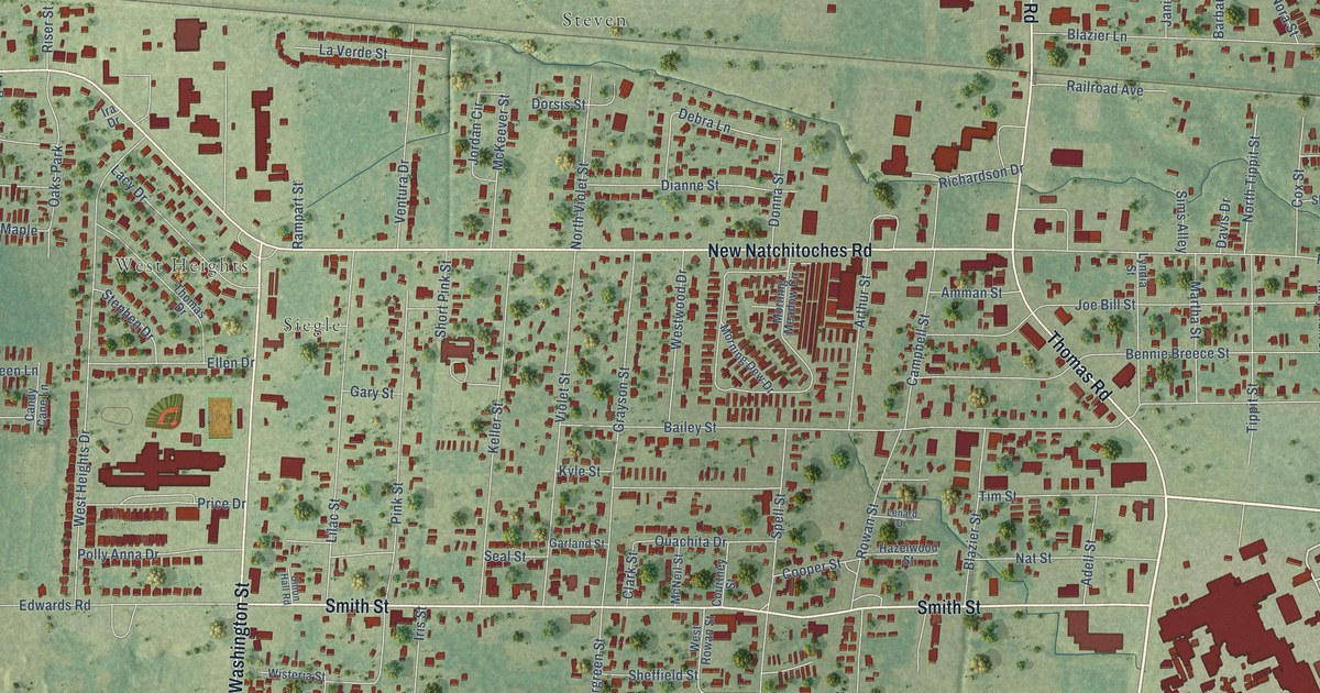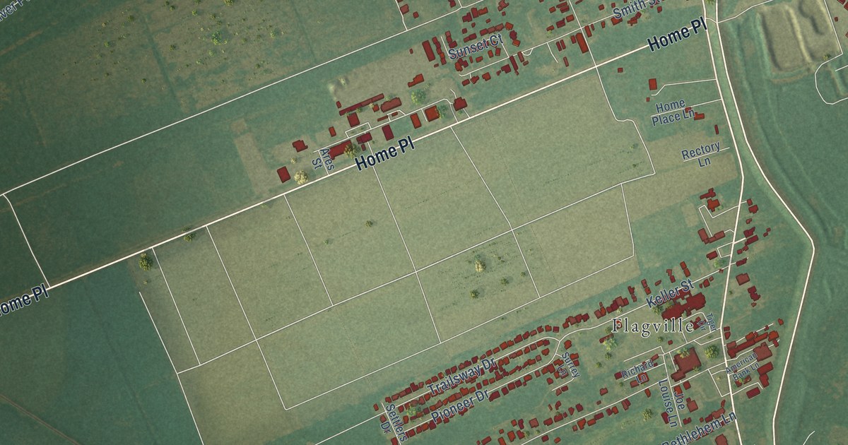
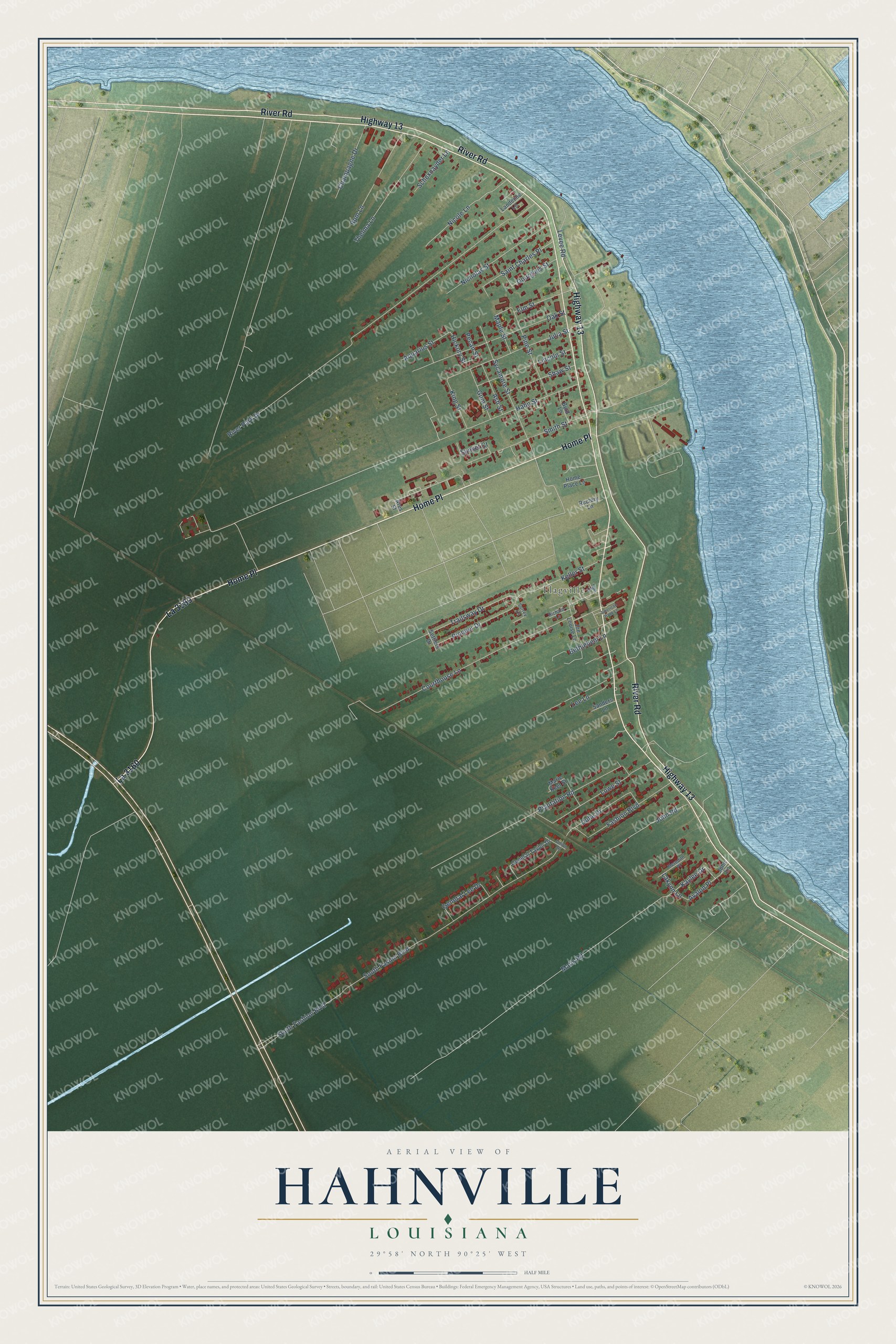
This beautifully detailed map of Hahnville, Louisiana was created in 2026 using aerial imagery combined with modern topographical, census, street and landmark data. It's a modern aerial view of Hahnville in St. Charles Parish, Louisiana, that combines modern data with a vintage aesthetic. The roads feature printed names, and if you look closely you can find your exact house accurately shown in its correct location.
Explore an aerial view of Hahnville, Louisiana
On this map you'll find Flagville, River Road, La 3160, Highway 13, Home Place, Keller Street, Julia Street, Trailsway Drive, Elm Street, Hickory Street, Matis Road, River Park Drive, and more. Each red shape is a building, so zoom in on the preview and look for yours.
Here is a piece of Hahnville history. Former governor Michael Hahn laid out Hahnville in 1872. He had retired to his sugar plantation in St. Charles Parish, and that's where he founded the town. Hahn had served as governor of the Union-occupied part of Louisiana. Hahnville is now the parish seat. In his later years Hahn published the St. Charles Herald until his death in 1886. That's from the LSU Press.
Hahnville is a community in St. Charles Parish. The Census Bureau counted 2,959 people here in 2020. Hahnville sits about 2 miles southeast of Taft, 3 miles southwest of New Sarpy and 3 miles southwest of Norco. The map prints the town name in its title panel, with the coordinates below it.
Take a closer look at the Hahnville map
Names on this map
These names are printed on this map.
Places: Flagville.
Streets and roads: River Road, La 3160, Highway 13, Home Place, Keller Street, Julia Street, Trailsway Drive, Elm Street, Hickory Street, Matis Road, River Park Drive, South Fasion Boulevard.
More street names, A to Z
American Bank Lane, Aquarius Street, Ares Street, Ash Street, Avalon Place, Bethlehem Lane, Byrd Lane, Champagne Drive, Courthouse Lane, Duhe Drive, Fashion Boulevard, General Lee Drive, General Taylor Drive, Gourgues Street, Gum Street, Hahn Street, Home Place Lane, Joe Louise Lane, John Lane, John Road, Kaylee Drive, King Street, Lakynn Lane, Landeche Lane, Lee Lane, Levee Road, Lincoln Street, Lowe Street, Maple Street, Marie Keet Street, Meredith Place, Nicholas Street, Nicole Lane, Oak Street, Pecan Street, Pine Street, Pioneer Drive, Plantation Road, Rectory Lane, Richard Lane, Rpm Lane, Saint Charles Place, Sanders Lane, Schexnayder Lane, Settlers Drive, Shaw Street, Smith Street, South Fashion Boulevard, Sunset Court, Surrey Lane, Sycamore Street, Thelma Lane, Tiger Circle, Union Drive.
See it on a wall
The Hahnville map as a framed print. Swipe for more.


Created by KNOWOL in 2026. The buildings are small red shapes, the roads carry their printed names, and shaded relief shows the shape of the land. The title panel reads "AERIAL VIEW OF HAHNVILLE, LOUISIANA" with 29°58' NORTH 90°25' WEST.
It suits a den, a classroom or a front hall, and it makes a gift for anyone with Hahnville roots. Open the preview and find the block you know. See sizes and frames for the Hahnville map.