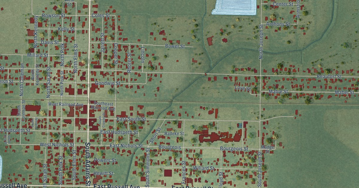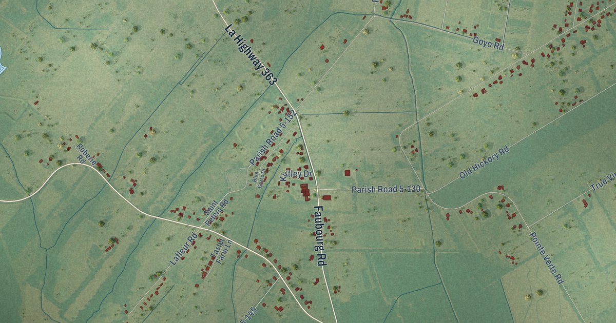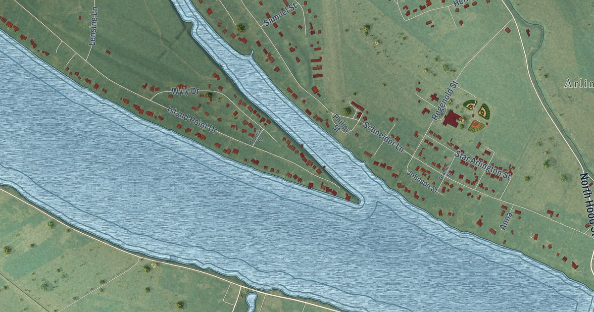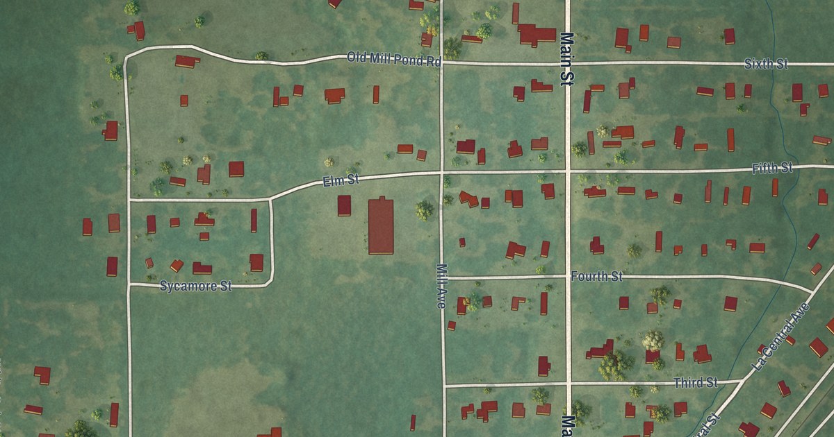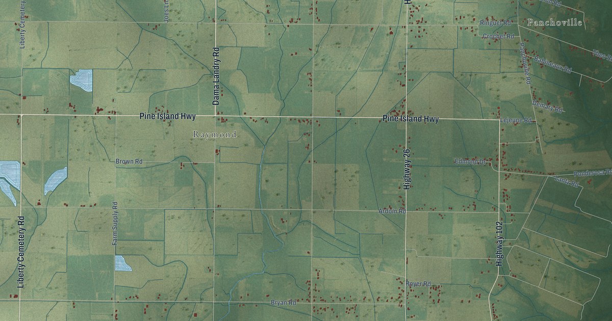
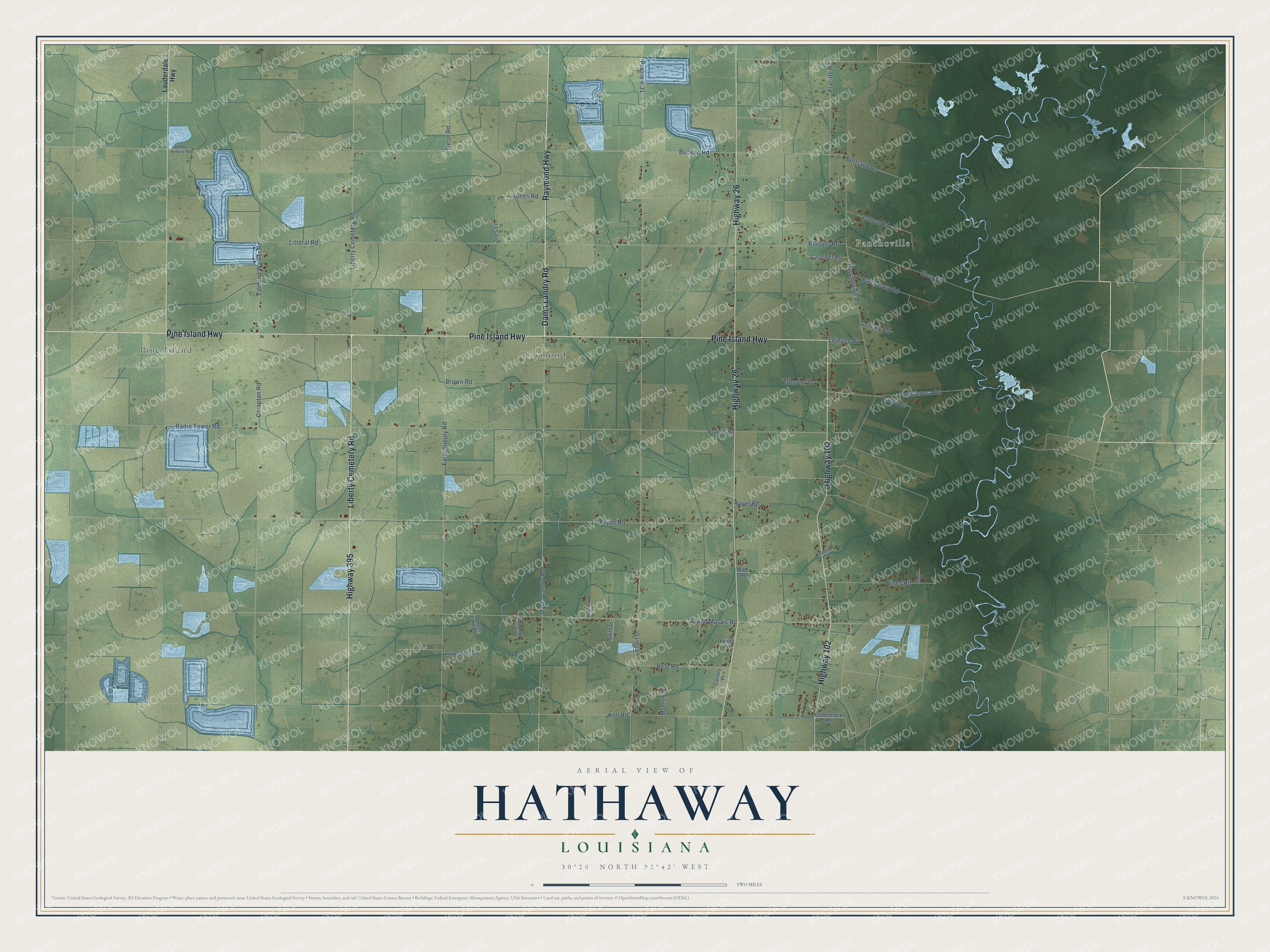
This beautifully detailed map of Hathaway, Louisiana was created in 2026 using aerial imagery combined with modern topographical, census, street and landmark data. It’s a one-of-a-kind view of Hathaway that combines accurate data with a vintage aesthetic. The map shows every building in its true location, many of the roads carry their names, and the shaded topographic relief shows the shape of the land.
Explore an aerial view of Hathaway, Louisiana
On the map you’ll find Panchoville, Pine Island, and Raymond, along with Raymond Highway, Highway 395, Liberty Cemetery Road, Pine Island Highway, Highway 26, Highway 102, Dama Landry Road, Grand Marais Road, Elton Drive, and more. If you look closely you can even find your house accurately drawn in its correct location. Zoom in on the preview to look for yours.
Did You Know?
From the 1925 History of Louisiana: "Maude Hathaway passed to the life eternal on the 4th of January, 1916, she having been an earnest communicant of the Catholic Church."
Hathaway is a community in Jefferson Davis Parish.
Take a closer look at the Hathaway map
Names on this map
These names are printed on this map.
Places: Panchoville, Pine Island and Raymond.
Streets and roads: Raymond Highway, Highway 395, Liberty Cemetery Road, Pine Island Highway, Highway 26, Highway 102, Dama Landry Road, Grand Marais Road, Elton Drive, Litteral Road, Bryan Road, Bucklin Road.
More street names, A to Z
Adickes Lane, Ardoin Road, Babineaux Road, Bertrand Road, Bobby Hebert Road, Brown Road, Canary Place, Compton Road, Crochet Road, Demary Road, Douget Cem Road, Duhon Road, Ed Lopez Road, Edmond Drive, Edmund Walker Road, Farm Supply Road, Hines Road, Joes Lane, Jones Road, Koll Road, Lantz Road, Lauderdale Highway, Lavergne Lane, Lejeune Road, Miller Road, Monnic Drive, Myers Lane, Ordoneaux Road, Panchoville Road, Pete Road, Placide Road, Ponderosa Road, Prairie 4-31, Radio Tower Road, Ringuet Road, Royer Road, Seilhan Lane, Son Guillotte Road, Theo Road, Tietje Road, Young Road.
See it on a wall
The Hathaway map as a framed print. Swipe for more.


This beautifully detailed map of Hathaway makes an attractive addition to your office, library, or den, and it can even be used to teach children the geography and history of the area. It also makes a great gift for anyone who grew up in Hathaway or moved away. When you’re done exploring, click here to get your copy of the Hathaway map.