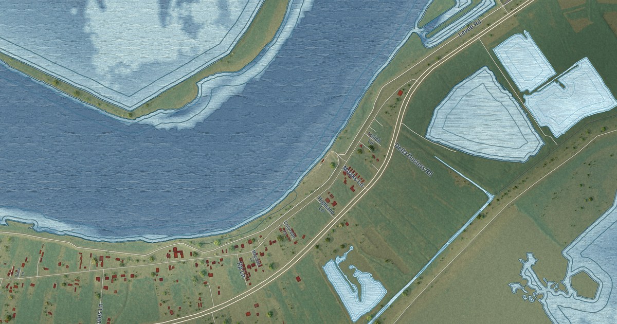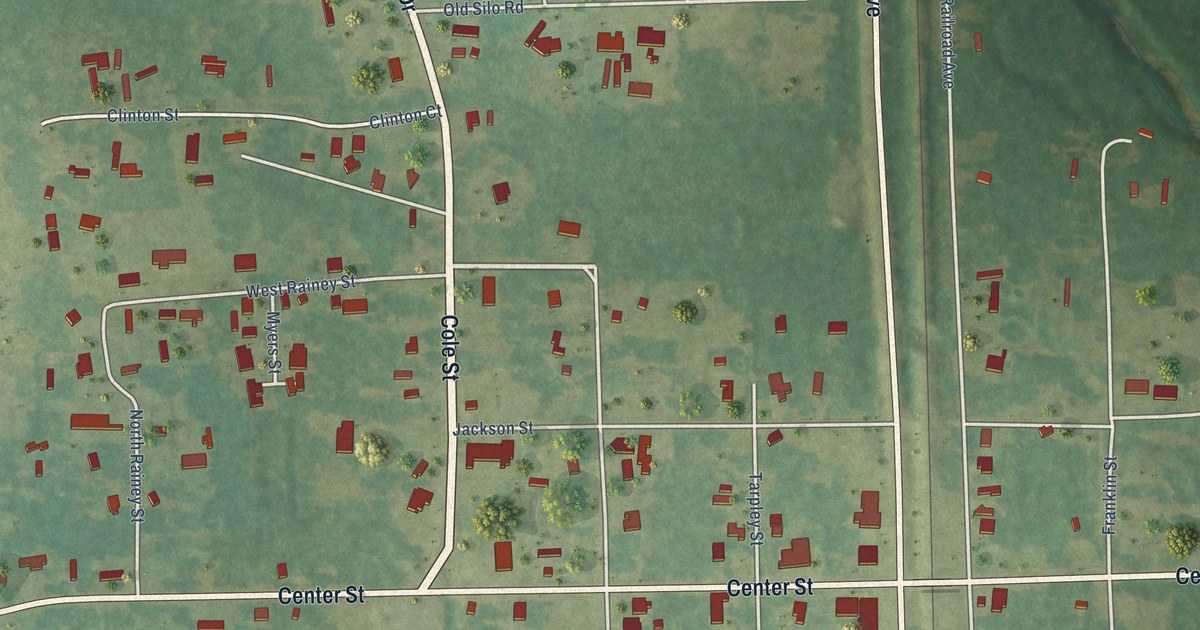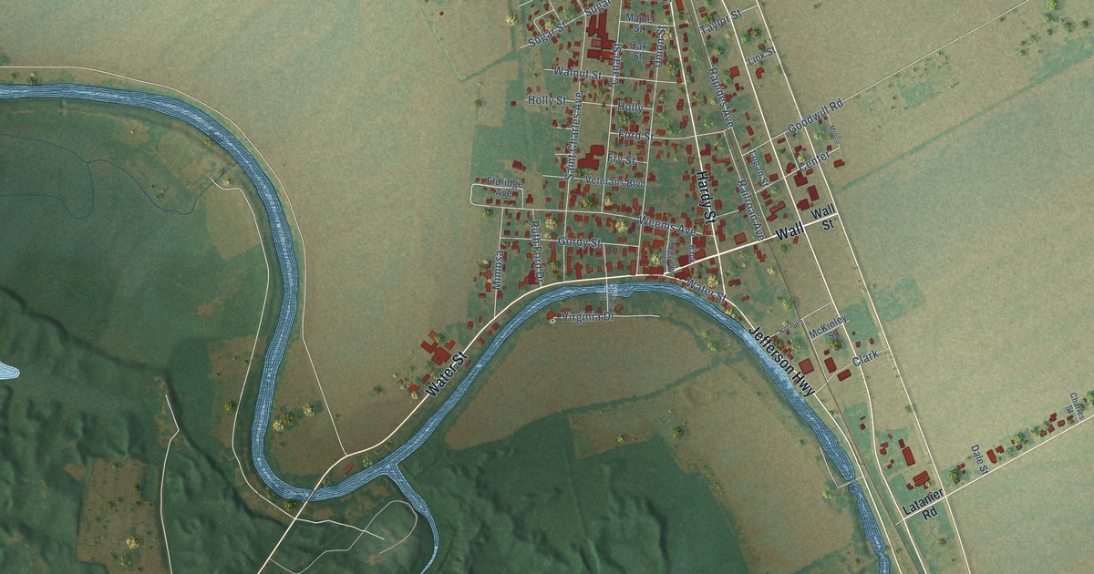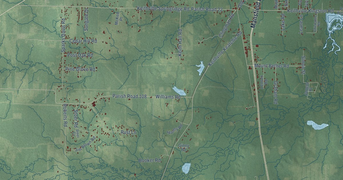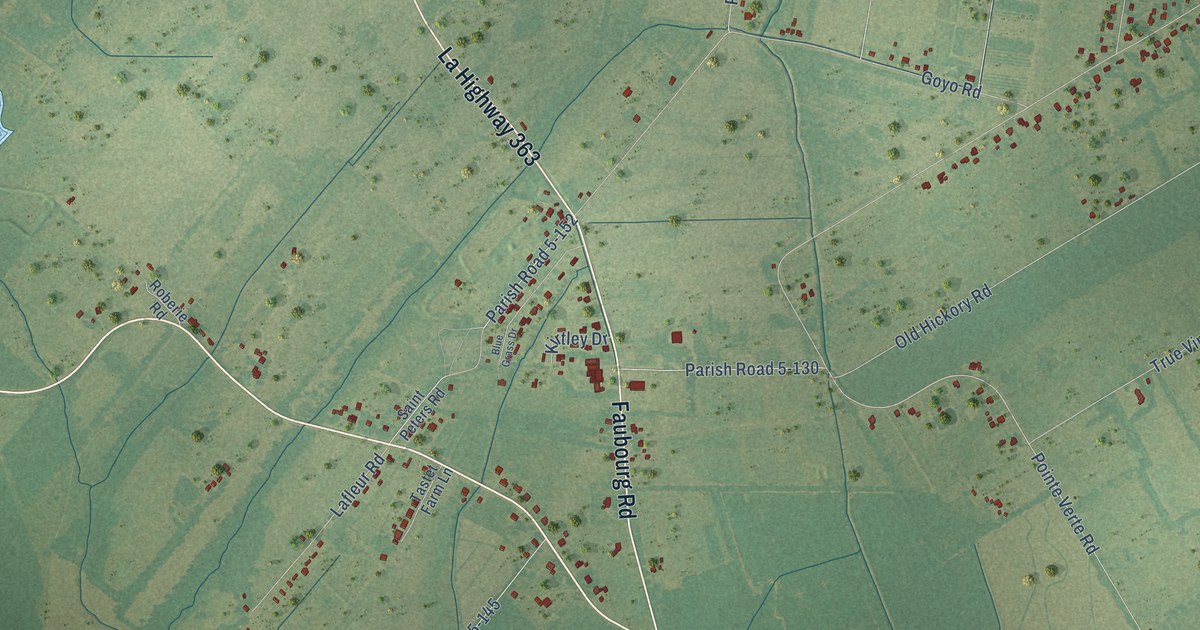
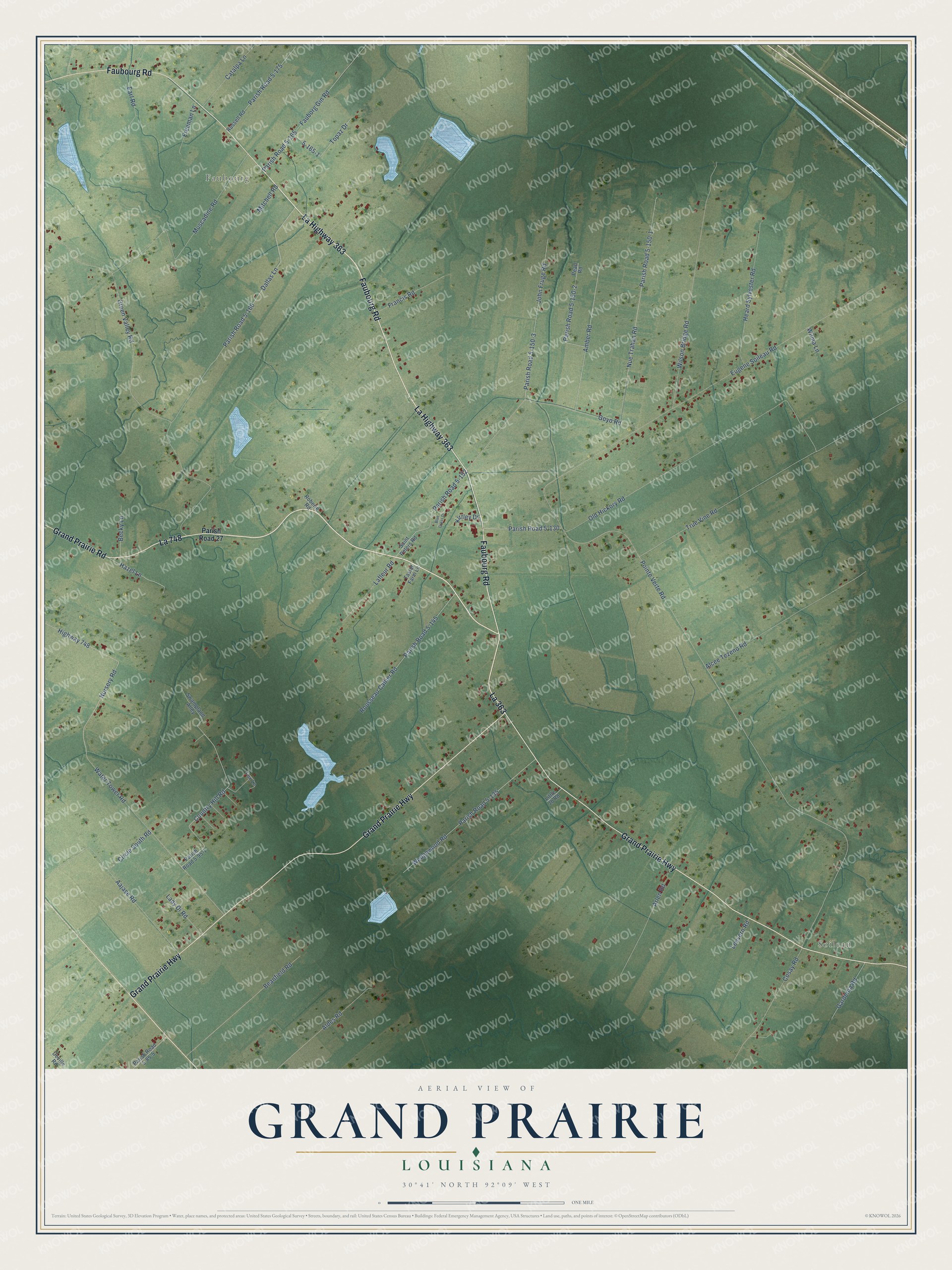
This beautifully detailed map of Grand Prairie, Louisiana was created in 2026 using aerial imagery combined with modern topographical, census, street and landmark data. It’s a one-of-a-kind view of Grand Prairie that combines accurate data with a vintage aesthetic. The map shows every building in its true location, many of the roads carry their names, and the shaded topographic relief shows the shape of the land.
Explore an aerial view of Grand Prairie, Louisiana
On the map you’ll find Soileau, Faubourg, La 363, La 748, Parish Road 5-160, and Parish Road 5-152, along with Grand Prairie Highway, Faubourg Road, La Highway 363, Grand Prairie Road, Dallas Lane, Pointe Verte Road, and more. If you look closely you can even find your house accurately drawn in its correct location. Zoom in on the preview to look for yours.
Did You Know?
From Rose C. Falls’s 1893 Cheniere Caminada, Or, the Wind of Death: "The Grand Prairie extends for a great distance below Bohemia, and also comprises what is known as the Union settlement."
Grand Prairie is a community in St. Landry Parish.
Take a closer look at the Grand Prairie map
Names on this map
These names are printed on this map.
Places: Soileau and Faubourg.
Streets and roads: Grand Prairie Highway, La 363, Faubourg Road, La Highway 363, La 748, Grand Prairie Road, Dallas Lane, Parish Road 5-160, Parish Road 5-152, Pointe Verte Road, Parish Road 5-130, Eugene Soileau Road.
More street names, A to Z
Aajase Road, Alcee Tezeno Road, Aldes Road, Amber Road, Arlen Road, Beanfield Road, Becky Lane, Blue Grass Drive, Catalpa Lane, Circle South Road, Cosay Road, Country Hill Road, Deville Road, Earl Road, Fauborg Gin Road, Fox Lane, Francis Road, Freeman Lane, Gardenia Road, Goyo Road, Green Valley Road, Hazel Lane, Heard Sylvester Road, Highway 748, John Fruge Road, Kirtley Drive, Lady Di Road, Lafleur Road, Leevern Road, Little Jb Road, Mitchell Road, Muscadine Road, Nue Trahan Road, Nursery Road, Old Hickory Road, Parish Road 5-85-5, Parish Road 5-95-1, Parish Road 5-135, Parish Road 5-145, Parish Road 5-150-1, Parish Road 5-150-2, Parish Road 5-150-3, Parish Road 5-165, Parish Road 5-175, Parish Road 27, Pearl Road, Roberie Road, Rousseau Callier Road, Russell Road, Saint Peters Road, Swampland Alley, Tastet Farm Lane, Topaz Drive, True Vine Road, Water Tower Road, Wedgewood Road, Wilma Lane, Wilson Bridge Road.
See it on a wall
The Grand Prairie map as a framed print. Swipe for more.


This beautifully detailed map of Grand Prairie makes an attractive addition to your office, library, or den, and it can even be used to teach children the geography and history of the area. It also makes a great gift for anyone with Grand Prairie roots. When you’re done exploring, click here to get your copy of the Grand Prairie map.