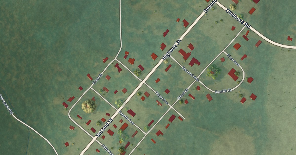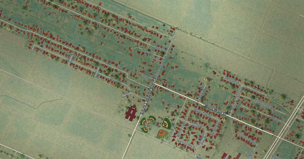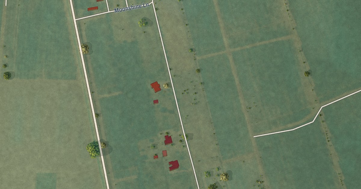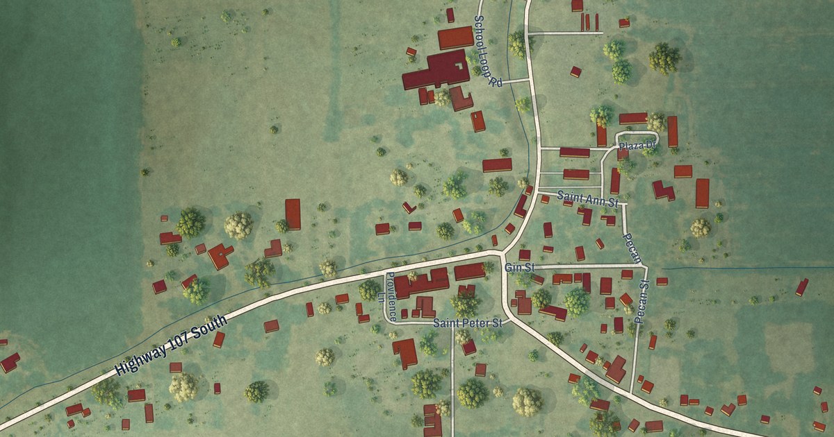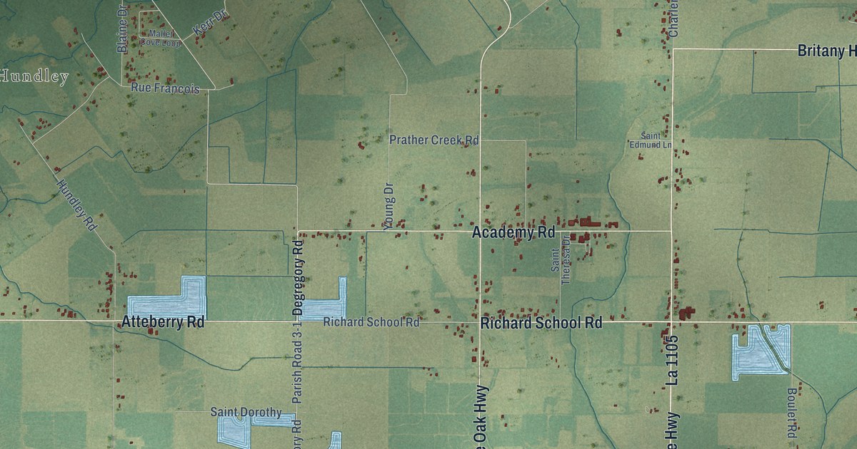
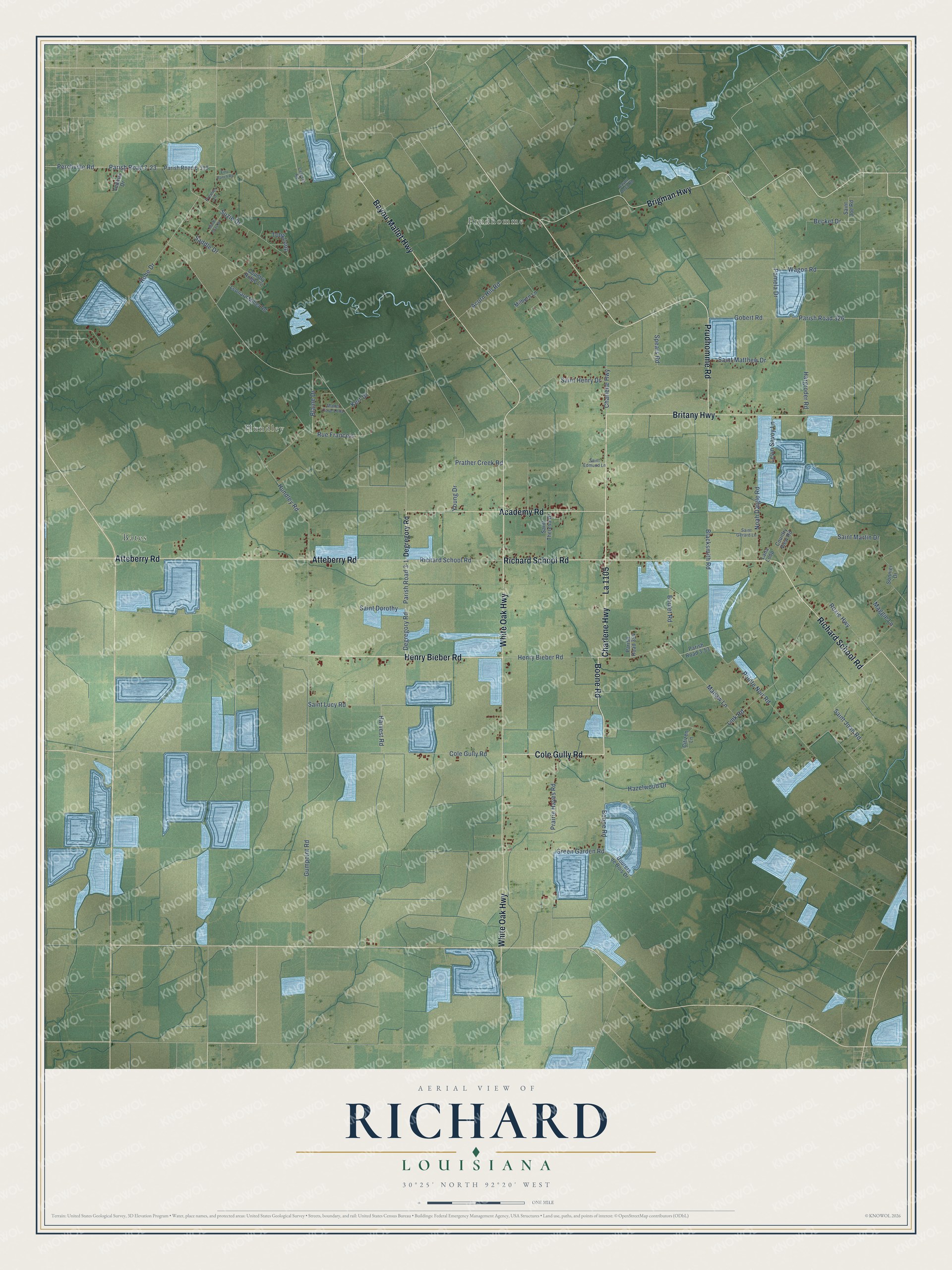
This beautifully detailed map of Richard, Louisiana was created in 2026 using aerial imagery combined with modern topographical, census, street and landmark data. It’s a one-of-a-kind view of Richard that combines accurate data with a vintage aesthetic. The map shows every building in its true location, many of the roads carry their names, and the shaded topographic relief shows the shape of the land.
Explore an aerial view of Richard, Louisiana
On the map you’ll find Prudhomme, Hundley, Bates, and La 1105, along with Henry Bieber Road, Cole Gully Road, Boone Road, Richard School Road, Prudhomme Road, Charlene Highway, Bayou Mallet Highway, Britany Highway, and more. If you look closely you can even find your house accurately drawn in its correct location. Zoom in on the preview to look for yours.
Did You Know?
From Thomas Maitland Marshall’s 1914 History of the Western Boundary of the Louisiana Purchase, 1819-1841: "Sixty warriors under their chief, Richard Fields, crossed into Texas, and being friendly with the Caddo, settled south of Bed River in the region disputed by the Caddo and prairie tribes."
Richard is a community in Acadia Parish.
Take a closer look at the Richard map
Names on this map
These names are printed on this map.
Places: Prudhomme, Hundley and Bates.
Streets and roads: Henry Bieber Road, Cole Gully Road, Boone Road, La 1105, Richard School Road, Prudhomme Road, Charlene Highway, Bayou Mallet Highway, Britany Highway, Atteberry Road, Brigman Highway, White Oak Highway.
More street names, A to Z
Academy Road, Acorn Hill Road, Bayou Doza Road, Becket Drive, Blacksmith Road, Blaine Drive, Boulet Road, Celeste Road, Citizen Lane, Country Ridge Lane, Country View Road, Courers de Bois Drive, Degregory Road, Emu Ranch Road, Gobert Road, Green Garden Road, Gumpoint Road, Hargroder Road, Harvest Road, Hazelwood Drive, Hundley Road, Kerr Drive, Lana Loop, Ledoux Drive, Leonard Miller Road, Levin Savoy Lane, Link Road, Maggie Lane, Mahaw Lane, Mallet Cove Loop, Mardi Gras Drive, Milburn Lane, Noah Daigle Road, Pamela Drive, Parish Road 3-1, Parish Road 3-53, Parish Road 6-310, Parish Road 7-23, Parish Road 326, Parish Road 354, Perchville Road, Pointe Noir Road, Prairie Hayes Road, Prather Creek Road, Premier Lane, Robe Drive, Roxie Highway, Rue Francois, Saddle Drive, Saint Dorothy, Saint Edmund Lane, Saint Gerard Lane, Saint Henry Drive, Saint Joan Road, Saint Joe Road, Saint Lucy Road, Saint Martin Drive, Saint Matthew Drive, Saint Theresa Drive, Sonnier Drive, Spears Road, Suzie Drive, Toby Loop, Wagon Road, Young Drive.
See it on a wall
The Richard map as a framed print. Swipe for more.


This beautifully detailed map of Richard makes an attractive addition to your office, library, or den, and it can even be used to teach children the geography and history of the area. It also makes a great gift for anyone who grew up in Richard or moved away. When you’re done exploring, click here to get your copy of the Richard map.