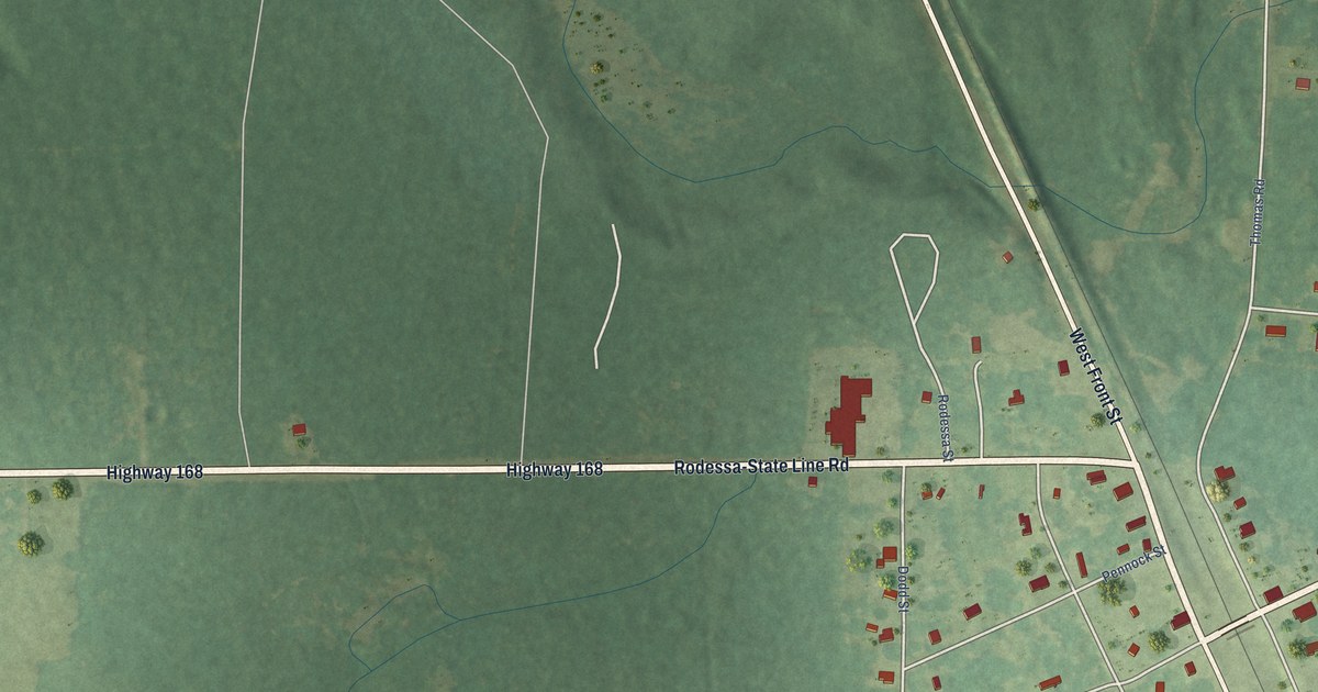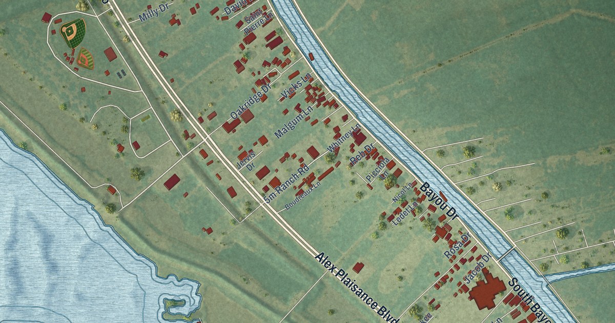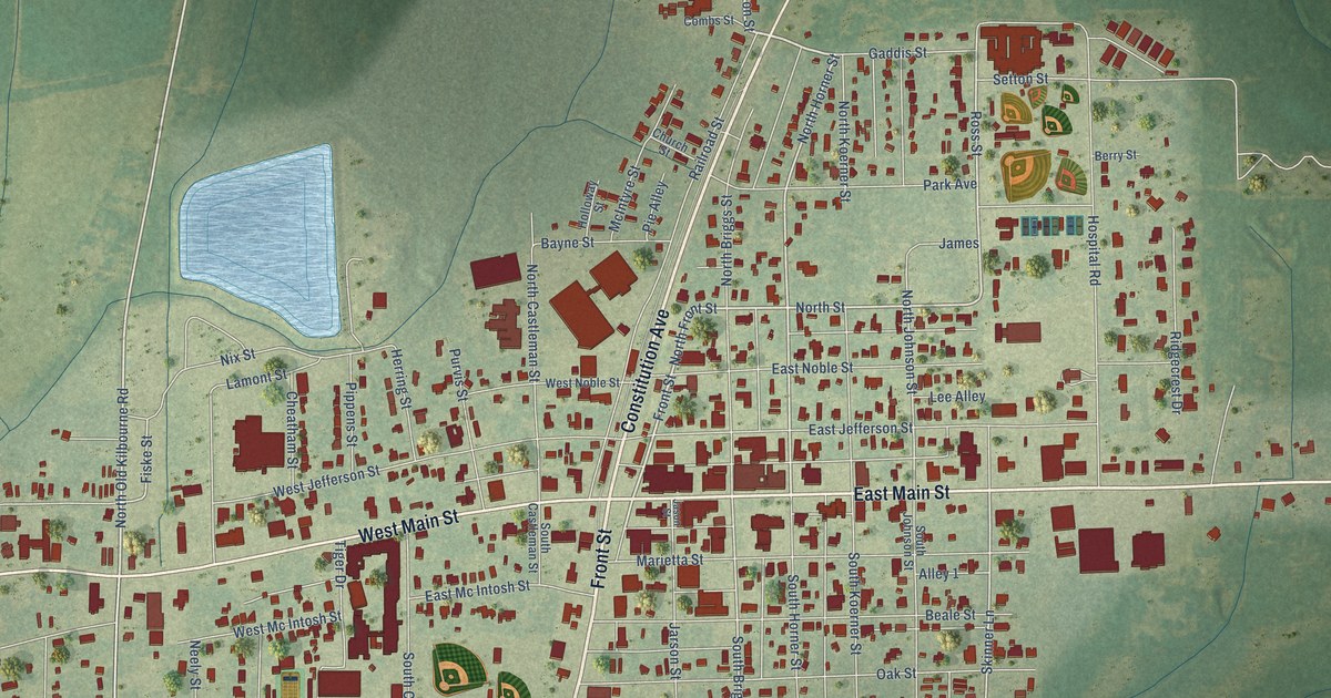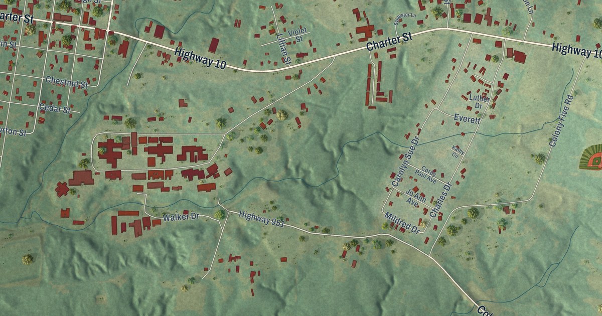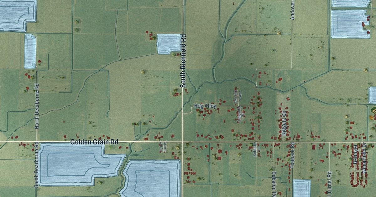
This beautifully detailed map of Ridge, Louisiana was created in 2026 using aerial imagery combined with modern topographical, census, street and landmark data. It’s a one-of-a-kind view of Ridge that combines accurate data with a vintage aesthetic. The map shows every building in its true location, many of the roads carry their names, and the shaded topographic relief shows the shape of the land.
Explore an aerial view of Ridge, Louisiana
On the map you’ll find Judice, along with Golden Grain Road, South Fieldspan Road, Ridge Road, Richfield Road, Congress Street West, South Richfield Road, Riceland Road, Highway 343, Duhon Road, Sellers Road, John Leblanc Road, and more. If you look closely you can even find your house accurately drawn in its correct location. Zoom in on the preview to look for yours.
Did You Know?
The Ridge area was first known as Foreman Flats. Its first settler was Edward G. F. Broussard, who bought 160 acres here in 1858. Other early families moved in from Georgia and the two Carolinas.
Ridge is a community in Lafayette Parish.
Take a closer look at the Ridge map
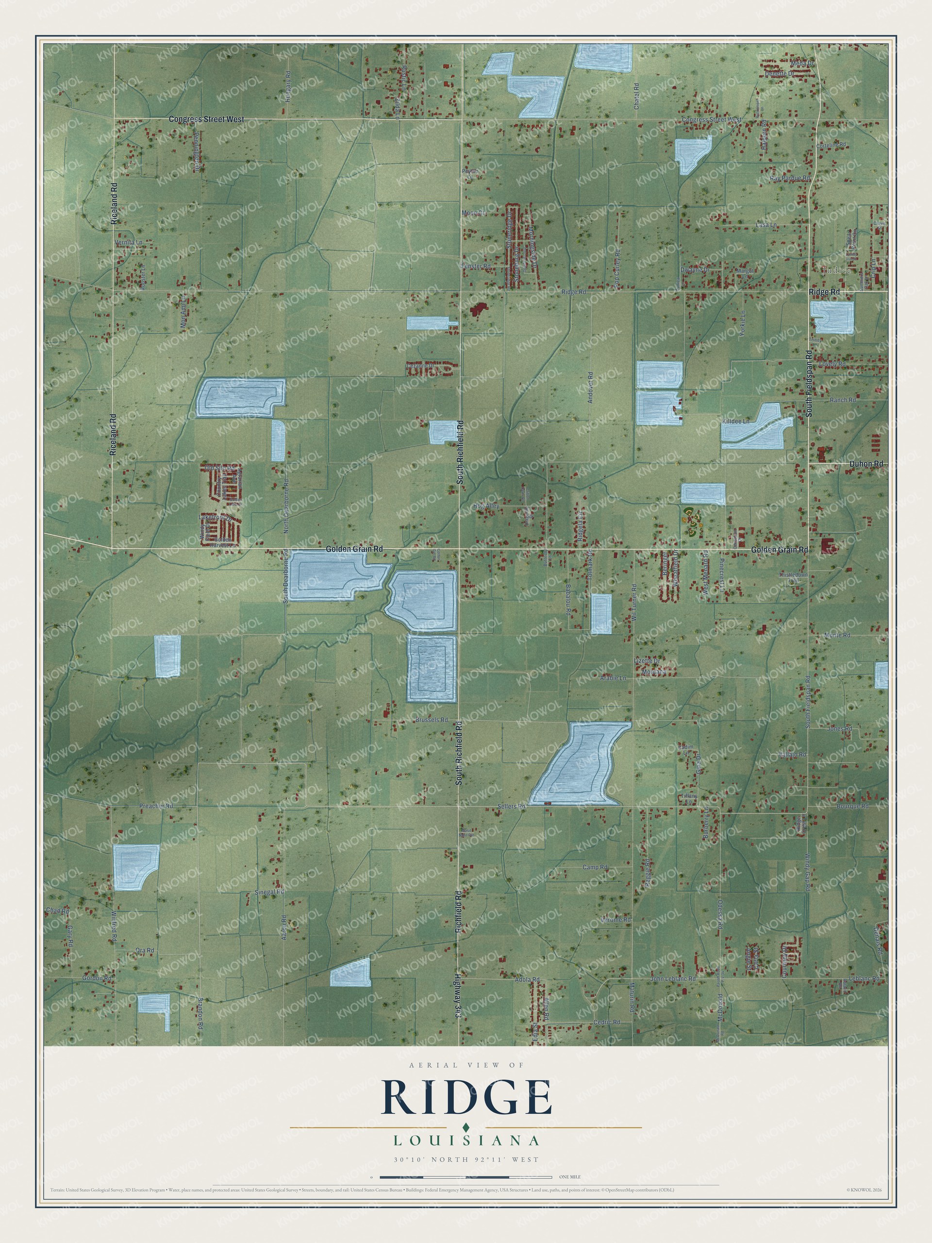
Names on this map
These names are printed on this map.
Places: Judice.
Streets and roads: Golden Grain Road, South Fieldspan Road, Ridge Road, Richfield Road, Congress Street West, South Richfield Road, Riceland Road, Highway 343, Duhon Road, Sellers Road, John Leblanc Road, Adola Road.
More street names, A to Z
Aaron Road, Agrarian Avenue, Allen Road, Andover Road, Angie Street, Arabie Lane, Babalou Road, Beringer, Bourque Road, Brandon Road, Brussels Road, Burberry Lane, Butterfly Lane, Camp Road, Carla Street, Cedric Road, Centurion Drive, Cezanne Drive, Chad Road, Chatel Road, Clifton Davis Road, Clovis Street, Corteline Road, Cotton Gin Road, Country Lakes Trail, Courtney Drive, Crip Lane, Deerfield Loop, Denais Road, Denette Drive, Dragonfly Drive, Dwayne Drive, Edia Street, Fenster Road, Gary Road, Gina Drive, Golden Harvest Lane, Golden Lake Drive, Gordon Road, Halpern Road, Hog Alley, Hungary Road, Jones Road, Killdee Lane, Lakefront Drive, Lasa Lane, Leblanc Road, Lizette Drive, Lovely Iris Lane, Lovely Road, Margot Lane, Masil Saint Pvt, Maturin Road, McDonald, McDonald Road, Meda Drive, Mon Ami Lane, Montana, Monte Road, Moon Court, Morningside Drive, North Dearborne Road, Odessa Road, Old Silo Road, Ora Road, Parish Road P-4-34, Pennington Drive, Peyton Lane, Pinecrest Lane, Pop Curley Road, Preacher Road, Ranch Road, Ray Pardue Road, Reggie Road, Retirement Lane, Ridge Crest Lane, Ridgela Circle, Roland Road, Rooster Lane, Rustic Lane, Sinegal Road, South Dearborne Road, Spear Point Circle, Stoneburg Drive, Stoneridge Drive, Stoneridge Road, Summers Oak Lane, Thistledown Trail, Tiffany Lane, Tolmark Road, Trinity Lane, Tunica Lane, Vadim Lane, Vallajo Road, Vernita Lane, Veronie Road, West Menard Road, Wheatfield Drive, Wil Turner Road, Windy Field Drive, Windy Gap Road, Winfred Road, Yorkie Lane, Zilda Lane.
See it on a wall
The Ridge map as a framed print. Swipe for more.


This beautifully detailed map of Ridge makes an attractive addition to your office, library, or den, and it can even be used to teach children the geography and history of the area. It also makes a great gift for anyone with Ridge roots. When you’re done exploring, click here to get your copy of the Ridge map.