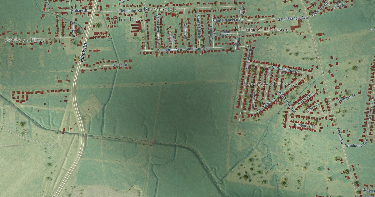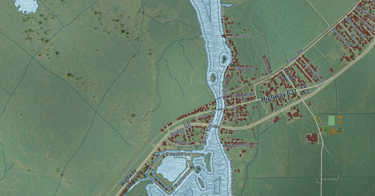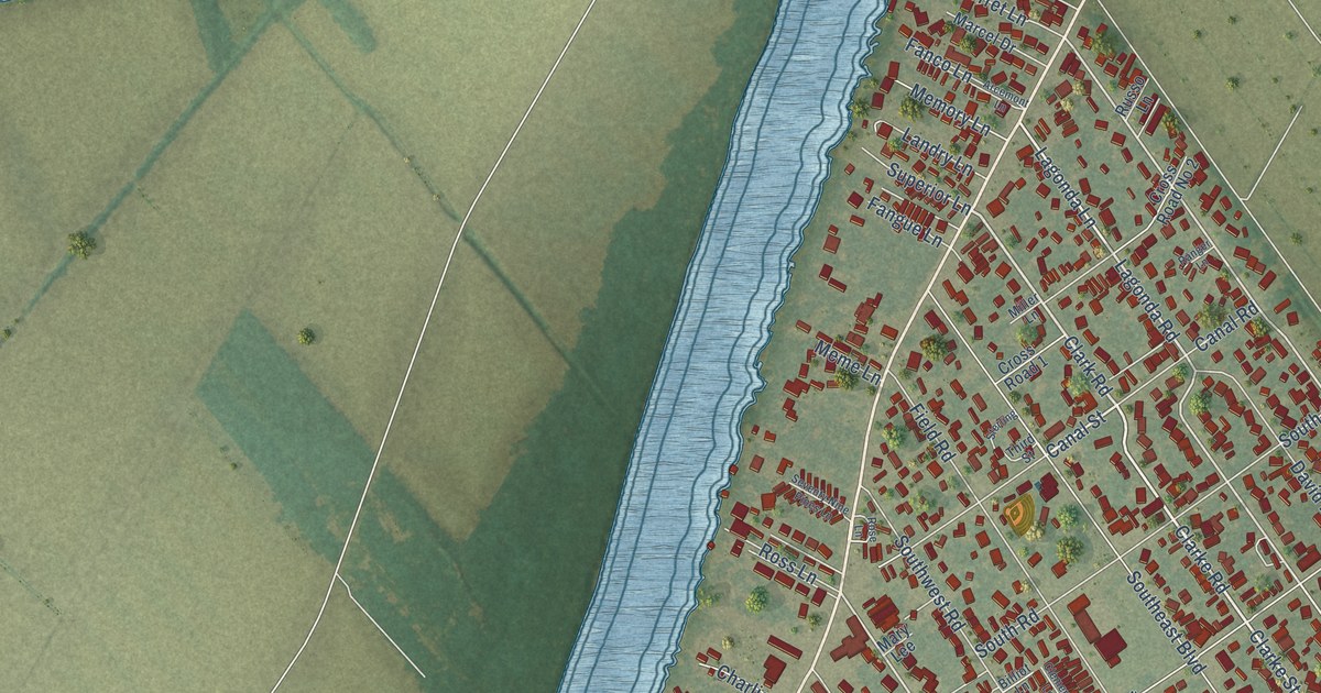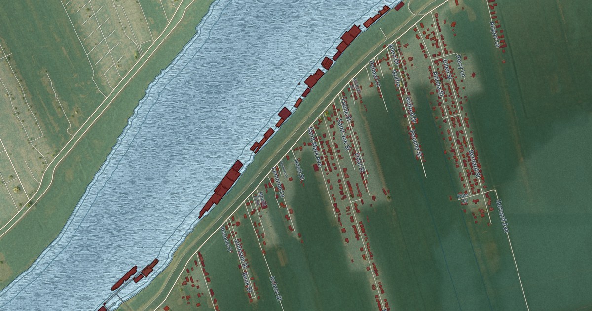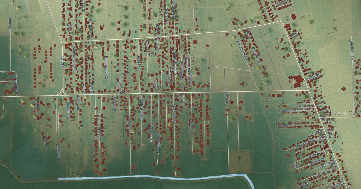
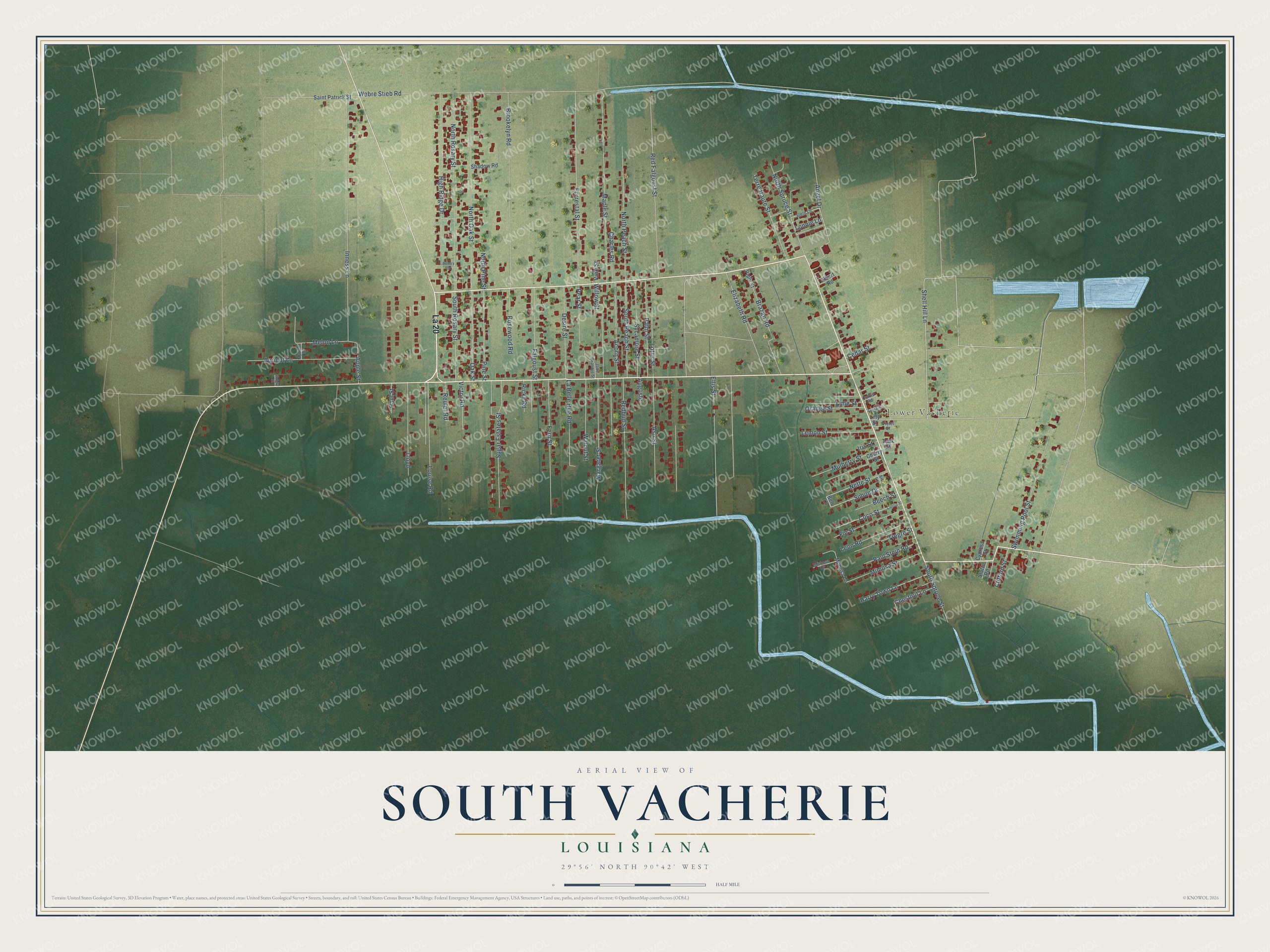
This beautifully detailed map of South Vacherie, Louisiana was created in 2026 using aerial imagery combined with modern topographical, census, street and landmark data. It's a modern aerial view of South Vacherie in St. James Parish, Louisiana, that combines modern data with a vintage aesthetic. The roads feature printed names, and if you look closely you can find your exact house accurately shown in its correct location.
Explore an aerial view of South Vacherie, Louisiana
On this map you'll find Lower Vacherie, La 20, Shell Hill Lane, Simon Drive, Angel Drive, Inness Lane, Webre Stieb Road, Ellis Street, North Rosary Street, North Oak Street, Brookelyn Road, Forrestal Street, and more. Each red shape is a building, so zoom in on the preview and look for yours.
South Vacherie is a community in St. James Parish. The Census Bureau counted 3,388 people here in 2020. South Vacherie sits about 3 miles northwest of Pleasure Bend, 5 miles south of North Vacherie and 6 miles south of Wallace. The map prints the town name in its title panel, with the coordinates below it.
Take a closer look at the South Vacherie map
Names on this map
These names are printed on this map.
Places: Lower Vacherie.
Streets and roads: La 20, Shell Hill Lane, Simon Drive, Angel Drive, Inness Lane, Webre Stieb Road, Ellis Street, North Rosary Street, North Oak Street, Brookelyn Road, Forrestal Street, Maple Street.
More street names, A to Z
Acorn Street, Albert Road, Apple Street, Apricot Drive, Apricot Lane, Art Lane, Ash Street, Auguste, Beech Street, Bell Lane, Brazan Road, Cedar Street, Charles Road, Cherry Street, Chestnut Lane, Clifford Street, Cocoa Street, Coco Street, Curtis Road, Cypress Street, Desire Street, Elizabeth Road, Falgoust Street, Fern Street, Fig Street, Guidry Street, Harry Town Lane, High Ridge Drive, Iris Street, Jake Gravois Street, La Belle Rue Road, Laura Heights, Lemon Street, Leon Road, Lilly Street, Lime Street, Lloyd, Lonnie Lane, Lotus Street, Louise Road, Margaret Street, Melon Lane, Mimosa Drive, Mimosa Lane, Mimosa Street, Mulberry Street, Nette Street, North Peach Street, North Pine Street, North Spruce Street, Oak Street, Orange Street, Palm Street, Paul Stein Road, Paul Street, Pear Street, Pine Street, Plum Street, Redbud Street, Red Falgoust Street, Reulet Road, Ricky Road, Rosary Lane, Rosewood Road, Saint Patrick Street, Shadow Road, South Peach Street, South Rosary Street, South Spruce Street, Stein Lane, Stutts Road, Sugar Estates Street, Swimming Pool Street, Sycamore Street, Teak Street, Terre Haute Street, Tregre Street, Victor Road, Vine Street, Violet Street, Walnut Street, Willow Street.
See it on a wall
The South Vacherie map as a framed print. Swipe for more.


Created by KNOWOL in 2026. The buildings are small red shapes, the roads carry their printed names, and shaded relief shows the shape of the land. The title panel reads "AERIAL VIEW OF SOUTH VACHERIE, LOUISIANA" with 29°56' NORTH 90°42' WEST.
Hang it in the hallway, the office or the cabin, or give it to someone who left South Vacherie and still calls it home. Open the preview and look for a street you know. See sizes and frames for the South Vacherie map.