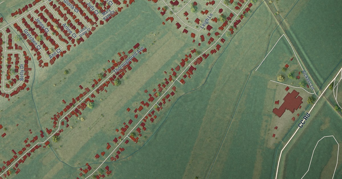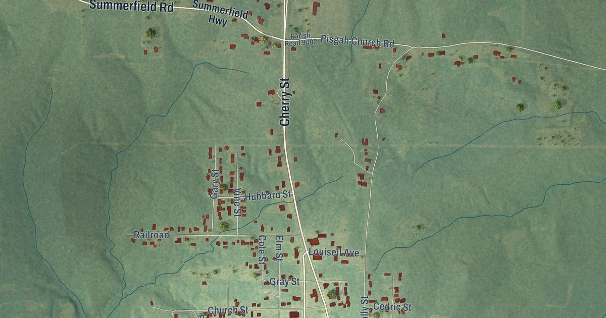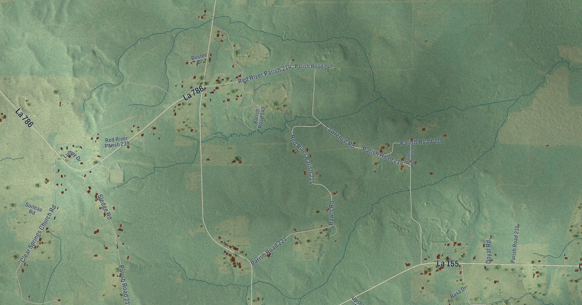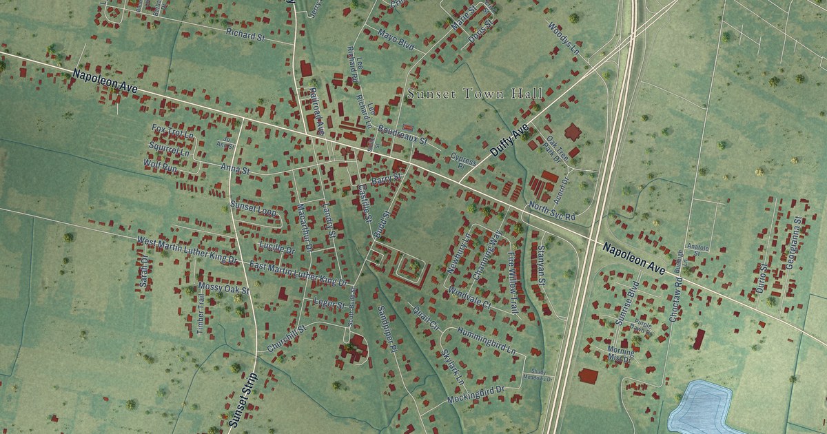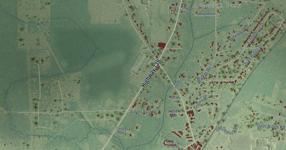
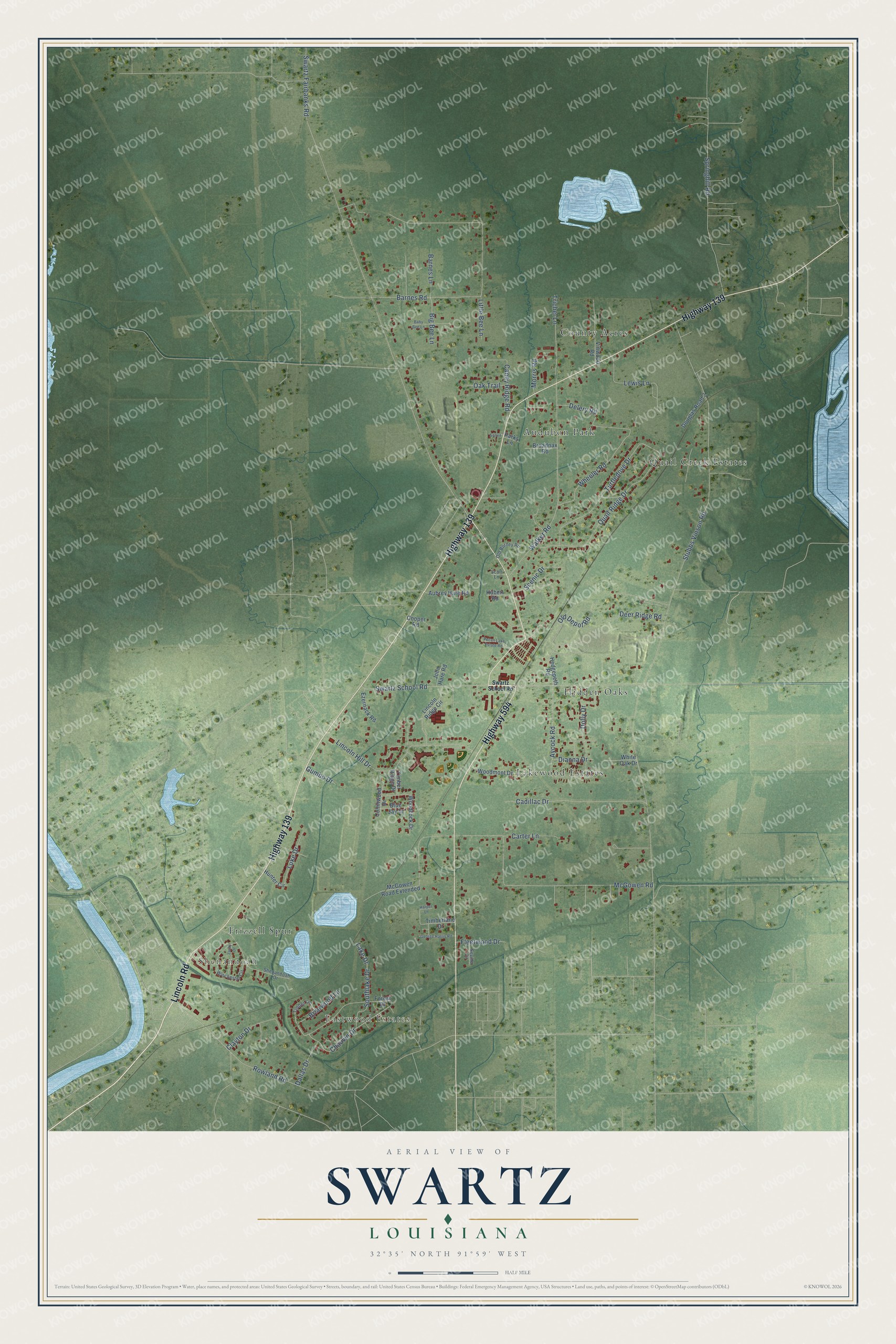
This beautifully detailed map of Swartz, Louisiana was created in 2026 using aerial imagery combined with modern topographical, census, street and landmark data. It's a modern aerial view of Swartz in Ouachita Parish, Louisiana, that combines modern data with a vintage aesthetic. The roads feature printed names, and if you look closely you can find your exact house accurately shown in its correct location.
Explore an aerial view of Swartz, Louisiana
On this map you'll find Shenandoah, Eastwood Estates, County Acres, Hidden Oaks, Lakewood Estates, Audubon Park, Quail Creek Estates, Frizzell Spur, Highway 139, Highway 594, Lincoln Road, Swartz School Road, and more. Each red shape is a building, so zoom in on the preview and look for yours.
Every town has a first chapter, and Swartz is no exception. The lumber mill at Swartz belonged to the E. G. Swartz Company, which lumberman Edward George Swartz organized in 1888. Born in Montana in 1866, he ran mills first at Chidester, Arkansas, and later at Swartz, and he sold his interest in the company in 1902. He also served a term as president of the Lafourche Basin levee board, which looked after levees on the lower Mississippi. That's from the National Cyclopaedia of American Biography.
Swartz is a community in Ouachita Parish. The Census Bureau counted 4,354 people here in 2020.
Take a closer look at the Swartz map
Names on this map
These names are printed on this map.
Places: Shenandoah, Eastwood Estates, County Acres, Hidden Oaks, Lakewood Estates, Audubon Park, Quail Creek Estates and Frizzell Spur.
Streets and roads: Highway 139, Highway 594, Lincoln Road, Swartz School Road, Chauvin Drive, Stubbs Vinson Road, Swartz Fairbanks Road, Barnes Road, McGowen Road, Springhill Road, Walker Road, Lincoln Hill Drive.
More street names, A to Z
Aubrey Hare Road, Aycock Road, Baby Bee Lane, Barnes Lane, Big Bee Lane, Blue Jay Drive, Briarwood Lane, Broadnax Road, Cadillac Drive, Caney Ridge Road, Carter Lane, Clayton Drive, Collinwood Drive, Cooper Road, Dallas Drive, Deer Ridge Road, Delery Road, Dianna Drive, Dolly Drive, Douglas Road 2, Ezernack Road, Fleetwood Drive, Forest Drive, George Harris Road, Gumbo Drive, Harper Lane, Hedgepeth Road, Hubert Road, Hunter Circle, John Hare Road, Lake Drive, Lewis Lane, Lincoln Ridge Circle, Little Bee Lane, Luke Drive, Luray Drive, McGowen Road Extended, Morris Road, Oak Trail, Old Burney Road, Old Depot Road, Parks Lane, Pecan Lake Estate Road, Quail Ridge Drive, Rowland Road, Scenic Drive, Scott Lane, Seville Circle, Shenandoah Drive, Sonya, Southlake Drive, Timber Lane, Timberlane Drive, Timber Ridge Drive, Trichel Lane, Turtledove Drive, Vinwood Road, Wheeler Road, White Oak Drive, Winchester Circle, Woodcock Drive, Woodmont Drive.
See it on a wall
The Swartz map as a framed print. Swipe for more.


Created by KNOWOL in 2026. The buildings are small red shapes, the roads carry their printed names, and shaded relief shows the shape of the land. The title panel reads "AERIAL VIEW OF SWARTZ, LOUISIANA" with 32°35' NORTH 91°59' WEST.
Hang it in the hallway, the office or the cabin, or give it to someone who left Swartz and still calls it home. Open the preview and look for a street you know. See sizes and frames for the Swartz map.