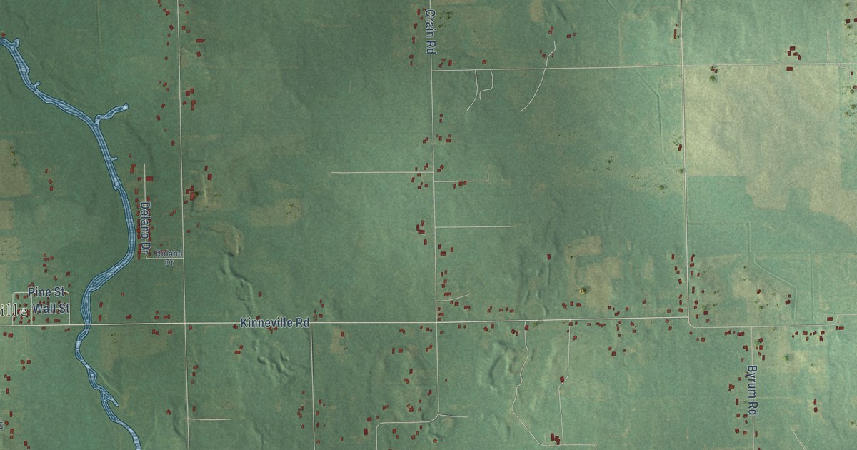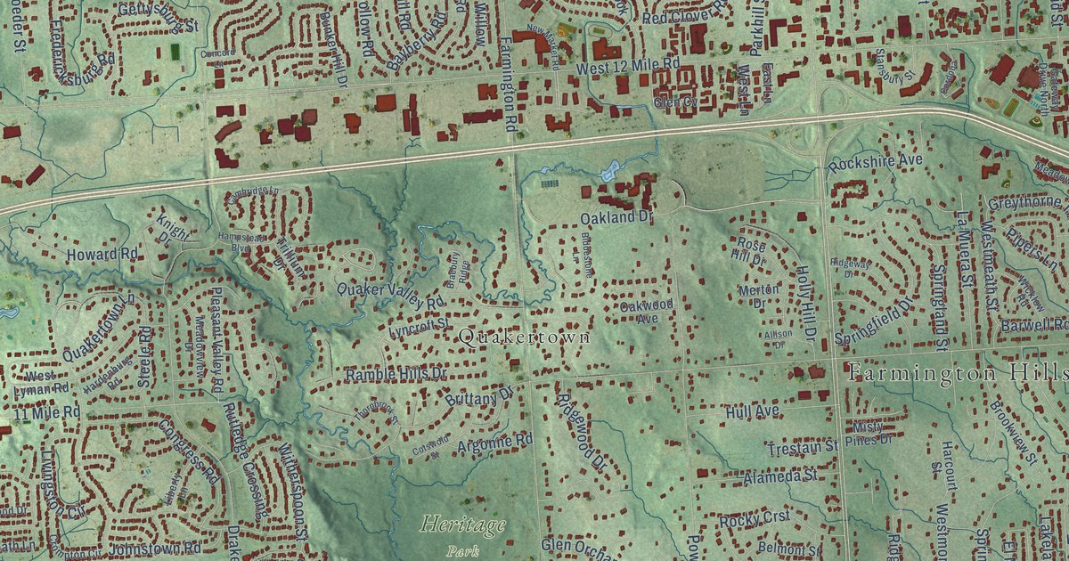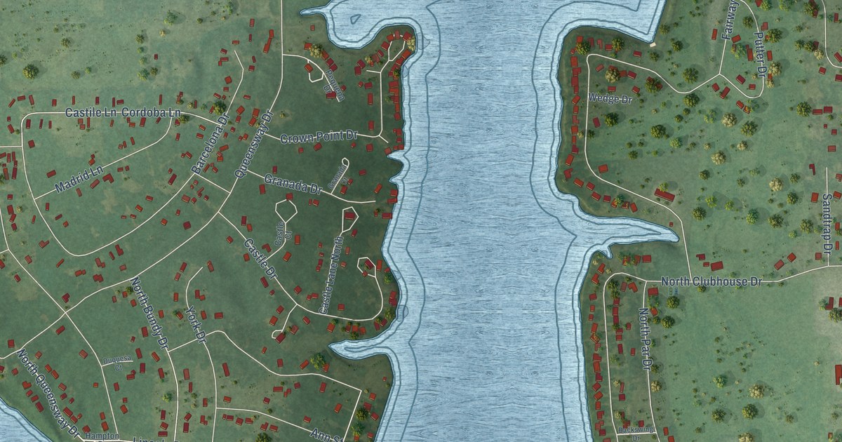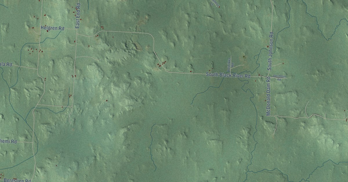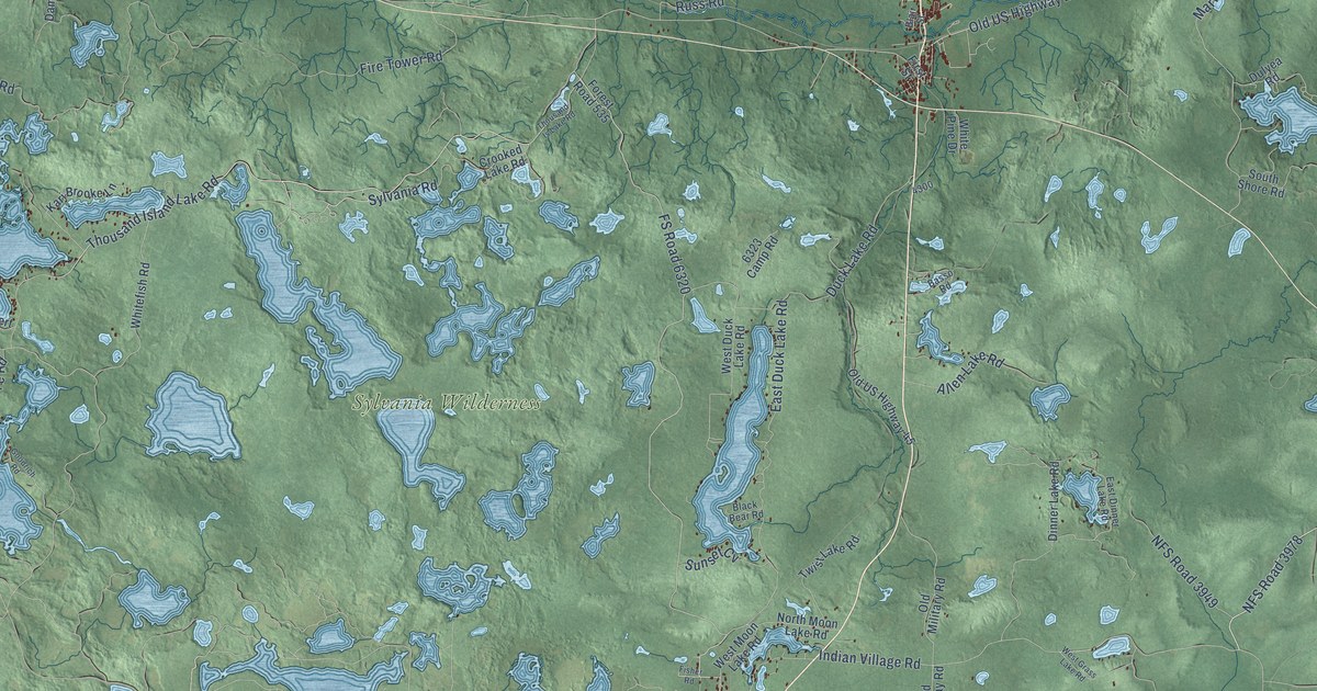
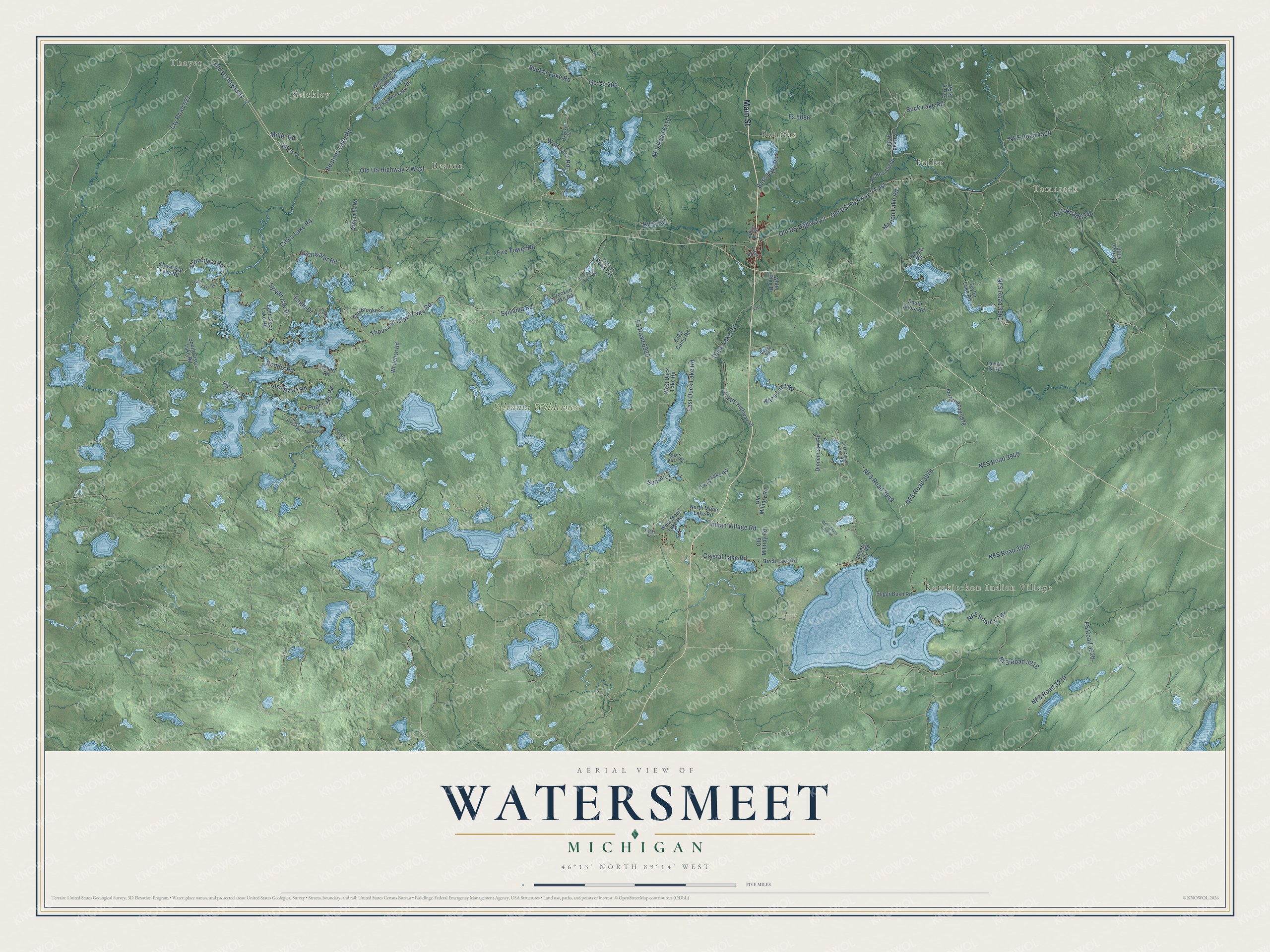
This beautifully detailed map of Watersmeet, Michigan was created in 2026 using aerial imagery combined with modern topographical, census, street and landmark data. It's a modern aerial view of Watersmeet in Gogebic County, Michigan, that combines modern data with a vintage aesthetic. The roads feature printed names, and if you look closely you can find your exact house accurately shown in its correct location.
Explore an aerial view of Watersmeet, Michigan
On this map you'll find Thayer, Stickley, Tamarack, Fuller, Katakitckon Indian Village, Sylvania Wilderness, Beaton, Bonifas, Main Street, Thousand Island Lake Road, Crystal Lake Road, NFS Road 3940, and more. Each red shape is a building, so zoom in on the preview and look for yours.
Every town has a first chapter, and Watersmeet is no exception. The Michigan Railroads History puts it this way: "Watersmeet was a village built around a junction point on the Chicago & Northwestern railroad."
The Census Bureau counted 1,456 people here in 2020.
Take a closer look at the Watersmeet map
Names on this map
These names are printed on this map.
Places: Thayer, Stickley, Tamarack, Fuller, Katakitckon Indian Village, Sylvania Wilderness, Beaton and Bonifas.
Streets and roads: Main Street, Thousand Island Lake Road, Crystal Lake Road, NFS Road 3940, NFS Road 3949, NFS Road 3978, FS Road 6320, Cty Road 527, Old US Highway - 2, Old US Highway 2 West, Old US Highway 2, Roddis Road.
More street names, A to Z
6323 Camp Road, Allen Lake Road, Bass Lake Road, Basso Road, Beatons Lake Road, Big Lake Road, Birch Lake Road, Black Bear Road, Blair Street, Buck Lake Road, Cisco Lake Road, Clearwater Road, Cloverleaf Lake Road, Cloverleaf Road, Crooked Lake Road, Damon Lk Road, Dinner Lake Road, Duck Lake Road, Dulyea Road, Eagle Drive, East Beaton Lake Road, East Cisco Lake Road, East Dinner Lake Road, East Duck Lake Road, East Mamie Road, Fire Tower Road, First Street, Fisher Road, Fish Hawk Road, Forest Road 535, Forest Road 3978, Fs 5086, FS Road 3920, FS Road 4100, FS Road 4700, Goodrich Road, Grace Lake Road, Hebert Road, Indian Village Road, Kari Brooke Lane, Marion Lake Road, Miller Road, Misery Bay Road, NFS Road 3210, NFS Road 3218, NFS Road 3340, NFS Road 3925, NFS Road 3960, NFS Road 4500, NFS Road 6110, North Moon Lake Road, Old Military Road, Old Militray Road, Old Us-2, Old US Highway 2 East, Old US Highway 45, Otter Lane, Oxyoke Road, Perch Lk Road, Poor Lake Road, Rs Road 4700, Russ Road, South Cisco Lake Road, South Shore Road, Sucker Lake Road, Sugar Bush Road, Sunset Cv, Sylvania Road, Sylvan Isle Drive, Taylor Lake Road, Taylor Lk Road, Thousand Is Lake Road, Twist Lake Road, West Beaton Lake Road, West Duck Lake Road, West Grass Lake Road, West Mamie Road, West Moon Lake Road, Whitefish Road, White Pine Drive, Wolf Lake Road.
Created by KNOWOL in 2026. The buildings are small red shapes, the roads carry their printed names, and shaded relief shows the shape of the land. The title panel reads "AERIAL VIEW OF WATERSMEET, MICHIGAN" with 46°13' NORTH 89°14' WEST.
Hang it in the hallway, the office or the cabin, or give it to someone who left Watersmeet and still calls it home. Open the preview and look for a street you know. See sizes and frames for the Watersmeet map.