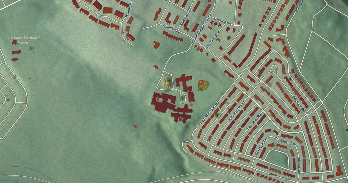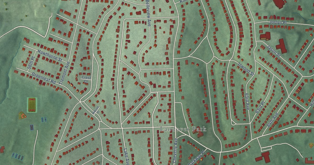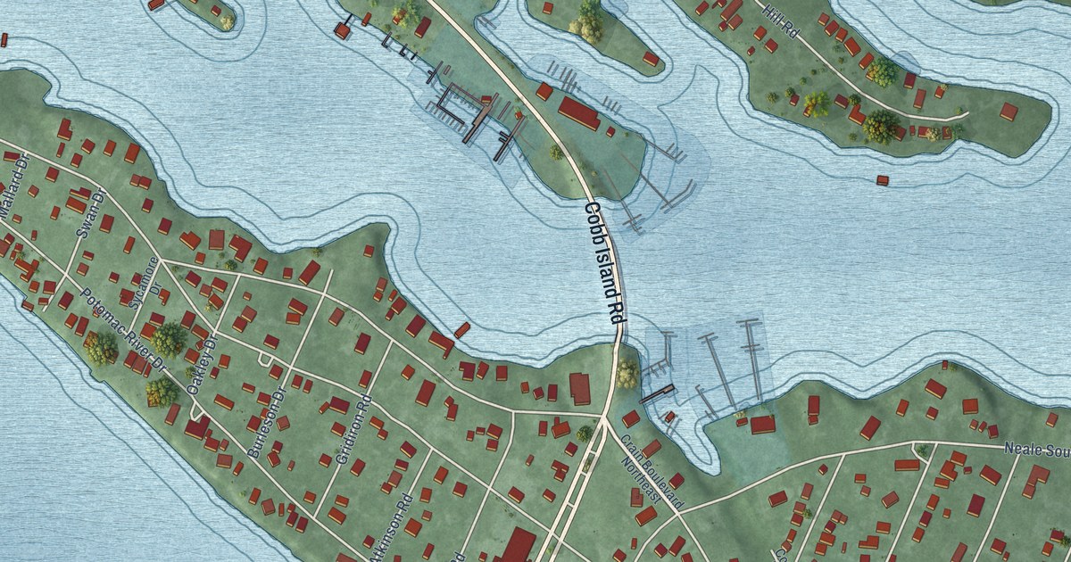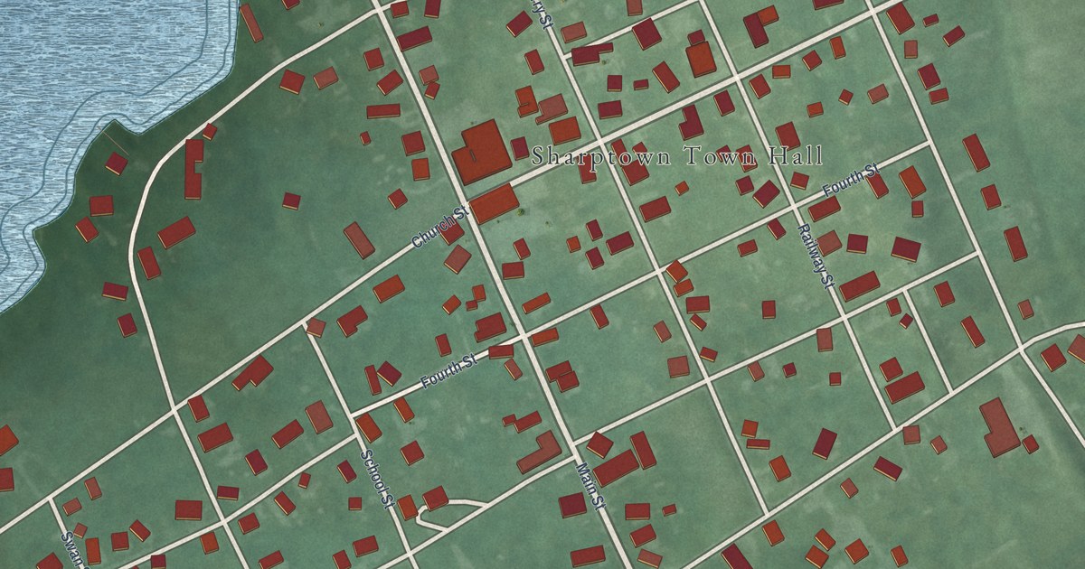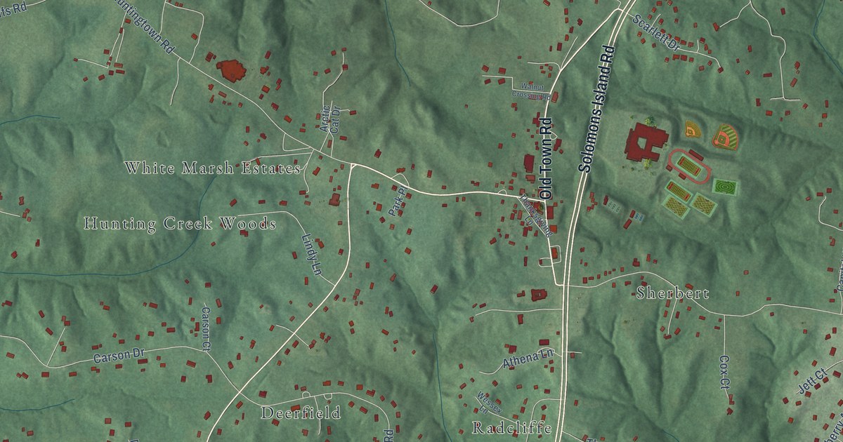
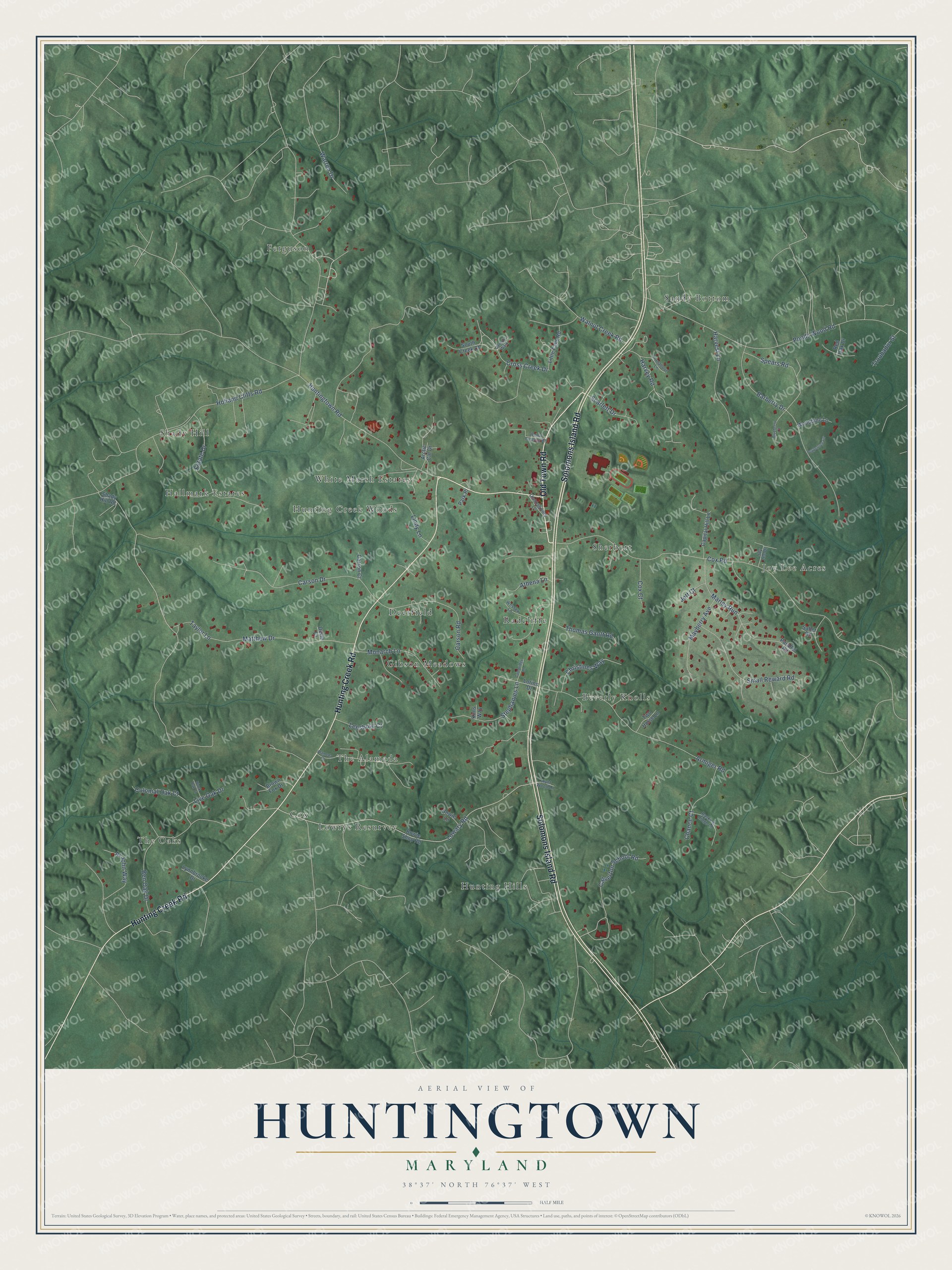
This beautifully detailed map of Huntingtown, Maryland was created in 2026 using aerial imagery combined with modern topographical, census, street and landmark data. It's a modern aerial view of Huntingtown in Calvert County, Maryland, that combines modern data with a vintage aesthetic. The roads feature printed names, and if you look closely you can find your exact house accurately shown in its correct location.
Explore an aerial view of Huntingtown, Maryland
On this map you'll find Deerfield, Sandy Bottom, The Oaks, Ferguson, Hunting Hills, Joy Lee Acres, Shady Hill, The Alameda, Beverly Knolls, Sherbert, Cox, Gibson Meadows, and more. Each red shape is a building, so zoom in on the preview and look for yours.
Huntingtown has a story worth telling. Huntingtown began as Hunting Towne, a port created under Maryland's Act of 1706 about three miles south of today's town. In the War of 1812, British troops set fire to a tobacco house there and the flames destroyed the whole community. With its river silted up, the town moved to its present crossroads. In the early and middle 1900s, Huntingtown was headquarters to Lyons, Gibson and Company, one of the region's largest lumber and construction firms. That's from the Maryland Historical Trust.
Huntingtown is a community in Calvert County. The Census Bureau counted 3,545 people here in 2020.
Take a closer look at the Huntingtown map
Names on this map
These names are printed on this map.
Places: Deerfield, Sandy Bottom, The Oaks, Ferguson, Hunting Hills, Joy Lee Acres, Shady Hill, The Alameda, Beverly Knolls, Sherbert, Cox, Gibson Meadows, Radcliffe, Lowrys Resurvey, Hallmark Estates, Hunting Creek Woods and White Marsh Estates.
Streets and roads: Old Town Road, Hunting Creek Road, Solomons Island Road, Harvey Road, Calverton School Road, Stephanies Lane, Huntingtown Road, Cox Road, Lowary Road, Ponds Wood Road, Holland Cliffs Road, Armiger Road.
More street names, A to Z
Alameda Drive, Al John Way, Arctic Cat Drive, Athena Lane, Barberry Drive, Basking Ridge Lane, Ben Oak Drive, Black Oak Court, Blueberry Court, Bowie Lane, Bowie Shop Road, Brown Fox Drive, Cambridge Lane, Capital Hill Lane, Carson Court, Carson Drive, Carson Road, Chance Court, Christines Way, Colonial Oak Court, Cox Court, Cross Creek Drive, Devin Court, Estate Drive, Harvest Lane, Hunt Wood Lane, Jared's Walk, Jett Court, Joy Lee Drive, Kims Way, Leesburg Court, Lindy Lane, Little Falls Road, Live Oak Drive, Lorins Drive, Lynnbrooke Drive, Marley Run, Matthew Drive, Mayberry Avenue, Monarch Lane, Parallel Road, Park Place, Peppertree Lane, Red Oak Drive, Saber Road, Scarlett Drive, Shady Hill Road, Small Reward Road, South Creek Court, Spears Road, Taylor Lane, Thanksgiving Lane, Thomas Gantt Road, Troubador Street, Turnabout Lane, Two Horse Lane, Walnut Creek Road, Walnut Crossing Road, Warren Drive, Wessex Lane, Woodbine Lane.
See it on a wall
The Huntingtown map as a framed print. Swipe for more.


Created by KNOWOL in 2026. The buildings are small red shapes, the roads carry their printed names, and shaded relief shows the shape of the land. The title panel reads "AERIAL VIEW OF HUNTINGTOWN, MARYLAND" with 38°37' NORTH 76°37' WEST.
It looks right in a kitchen, an office or a den, and it's a gift for anyone who grew up in Huntingtown or moved away. Open the preview and find your street. See sizes and frames for the Huntingtown map.