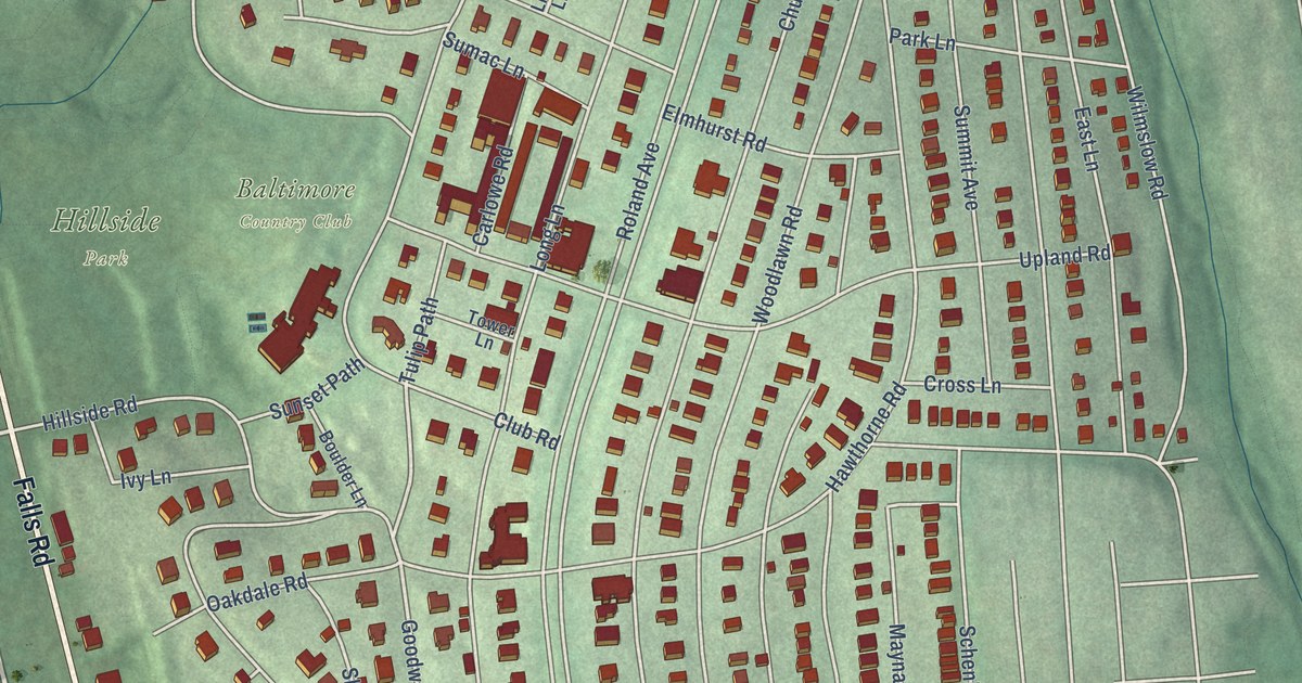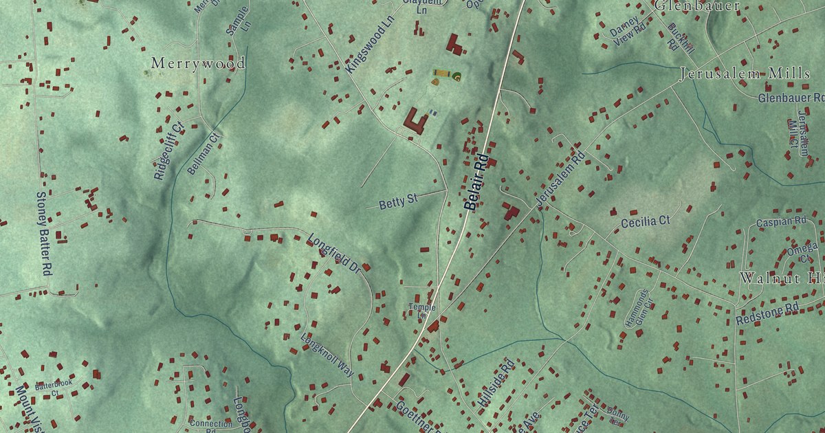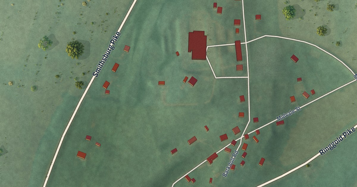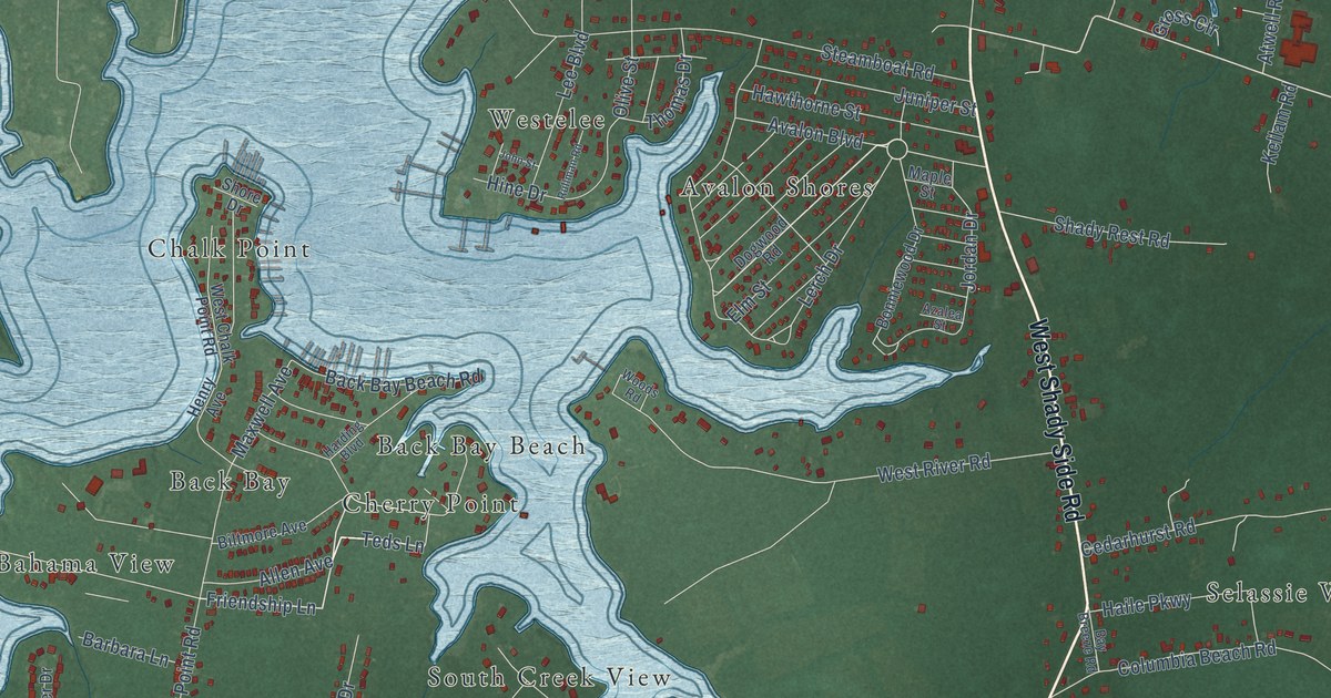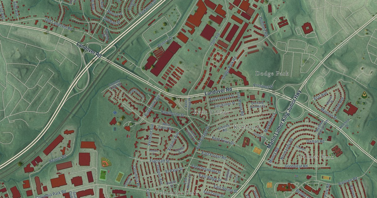
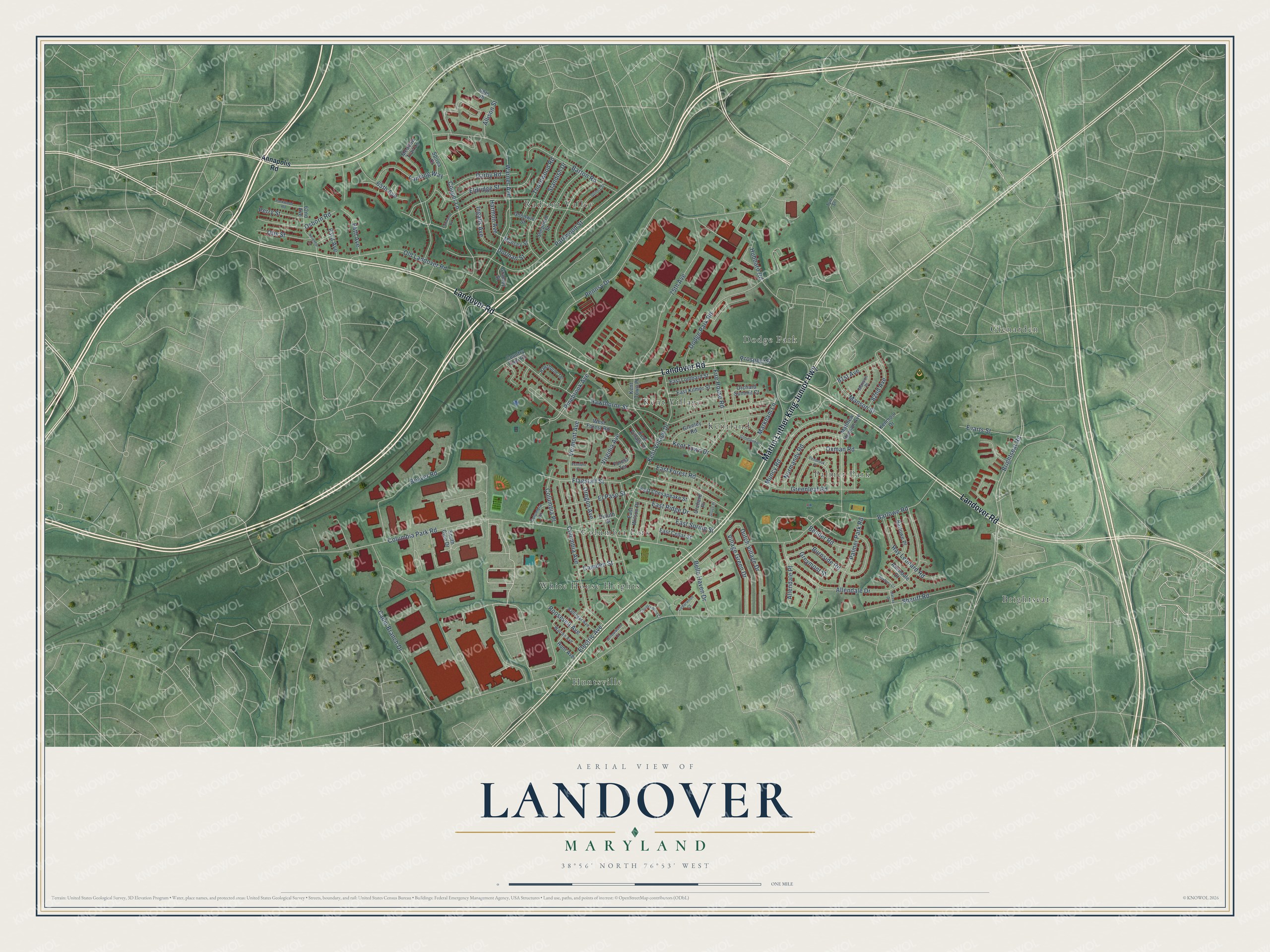
This beautifully detailed map of Landover, Maryland was created in 2026 using aerial imagery combined with modern topographical, census, street and landmark data. It's a modern aerial view of Landover in Prince George's County, Maryland, that combines modern data with a vintage aesthetic. The roads feature printed names, and if you look closely you can find your exact house accurately shown in its correct location.
Explore an aerial view of Landover, Maryland
On this map you'll find Kentland, Huntsville, Glenarden, Columbia Park, Radiant Valley, Brightseat, Dodge Park, White House Heights, Palmer Park, Kent Village, Landover Road, Martin Luther King Junior Highway, and more. Each red shape is a building, so zoom in on the preview and look for yours.
Landover has a story worth telling. Benjamin Stoddert built Beall's Pleasure, the brick house in Landover, around 1795. When John Adams became President he made Stoddert Secretary of the Navy, and in June 1798 Stoddert set up the very first office of the Secretary of the Navy, in Philadelphia. The land was first patented in 1706 to Colonel Ninian Beale, a Scot who was captured at the Battle of Dunbar and came to Maryland in 1658 as an indentured servant. That's from the National Register of Historic Places.
Landover is a community in Prince George's County. The Census Bureau counted 25,998 people here in 2020.
Take a closer look at the Landover map
Names on this map
These names are printed on this map.
Places: Kentland, Huntsville, Glenarden, Columbia Park, Radiant Valley, Brightseat, Dodge Park, White House Heights, Palmer Park and Kent Village.
Streets and roads: Landover Road, Martin Luther King Junior Highway, Pinebrook Avenue, Columbia Park Road, Brightseat Road, Sheriff Road, Hawthorne Street, Pennsy Drive, Barlowe Road, Allendale Drive, Kent Village Drive, Warner Avenue.
More street names, A to Z
62nd Avenue, 63rd Avenue, 64th Avenue, 65th Avenue, 68th Place, 75th Avenue, 81st Avenue, 82nd Avenue, Allendale Court, Allendale Place, Allison Street, Annapolis Road, Ballinger Avenue, Barlowe Place, Barton Road, Beaver Road, Belle Haven Drive, Bender Road, Burnside Road, Cabin Branch Drive, Camden Street, Cedarwood Court, Columbia Avenue, Columbia Place, Columbia Terrace, Cooper Lane, Country Club Road, Countrywood Court, Darby Road, Dodge Park Road, Dorman Street, Duluth Street, Dutch Village Drive, East Cedar Street, East Chesapeake Street, East Forest Road, East Kilmer Street, East Lombard Street, East Ridge Drive, East Spring Street, East Wilson Place, Eldridge Street, Electric Avenue, El Paso Street, Evarts Street, Fairwood Road, Fire House Road, Flagstaff Street, Forest Terrace, Goodland Drive, Goodwin Street, Gramby Street, Greeley Road, Greenleaf Road, Greymont Street, Grove Place, Harmon Avenue, Harvey Drive, Hawthorne Terrace, Hubbard Road, Hunt Avenue, Ingalls Avenue, Kenmoor Drive, Kent Town Drive, Kent Town Place, Kent Village Place, Landing Way, Manson Place, Manson Street, Markham Lane, Matthew Henson Avenue, Meadow Trail Lane, Muncy Road, Munsey Street, Neighbor Lane, Normandy Road, Old Landover Road, Orchard Place, Orchard Summit Court, Oregon Avenue, Osborn Road, Otis Street, Oxman Road, Palmer Park Road, Parkwood Road, Parkwood Street, Penbrook Place, Perry Street, Prospect Street, Quincy Street, Ray Leonard Road, Roosevelt Avenue, Roxbury Court, Shepherd Street, South Club Drive, Spirea Court, Standish Drive, Thornwood Road, Tyler Street, Vermont Avenue, Vermont Court, Village Green Drive, Virginia Avenue, Warren Avenue, West Forest Road, Willowwood Court.
See it on a wall
The Landover map as a framed print. Swipe for more.


Created by KNOWOL in 2026. The buildings are small red shapes, the roads carry their printed names, and shaded relief shows the shape of the land. The title panel reads "AERIAL VIEW OF LANDOVER, MARYLAND" with 38°56' NORTH 76°53' WEST.
It looks right in a kitchen, an office or a den, and it's a gift for anyone who grew up in Landover or moved away. Open the preview and find your street. See sizes and frames for the Landover map.