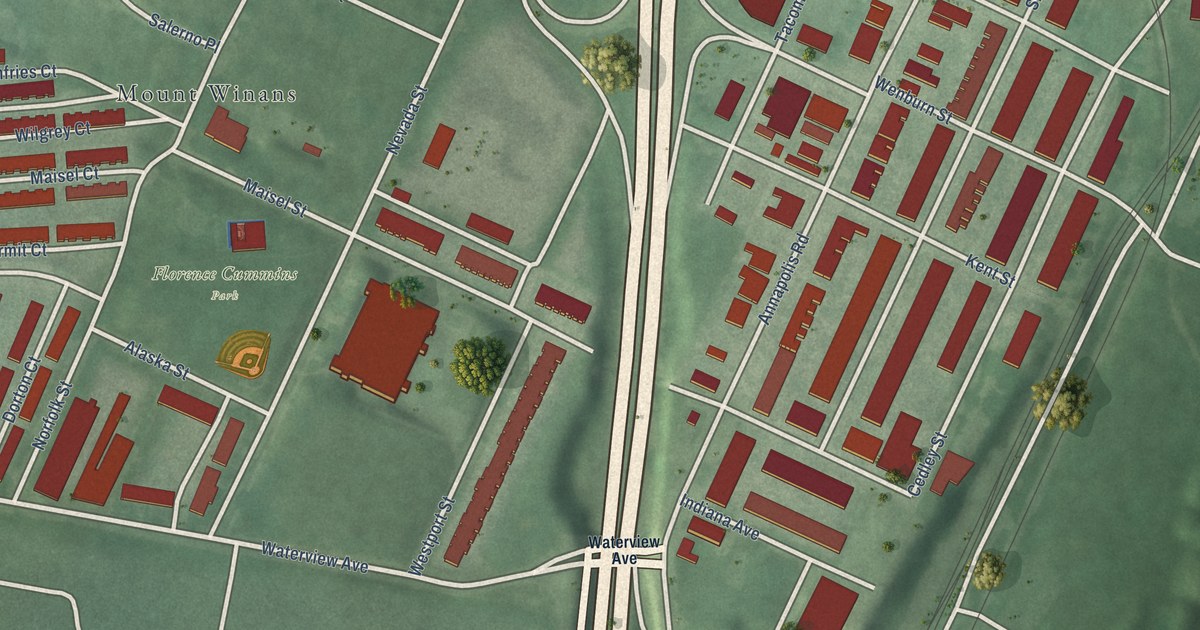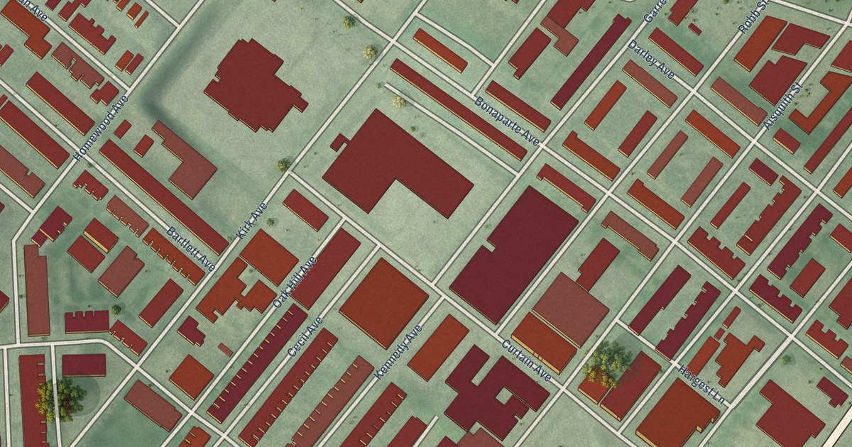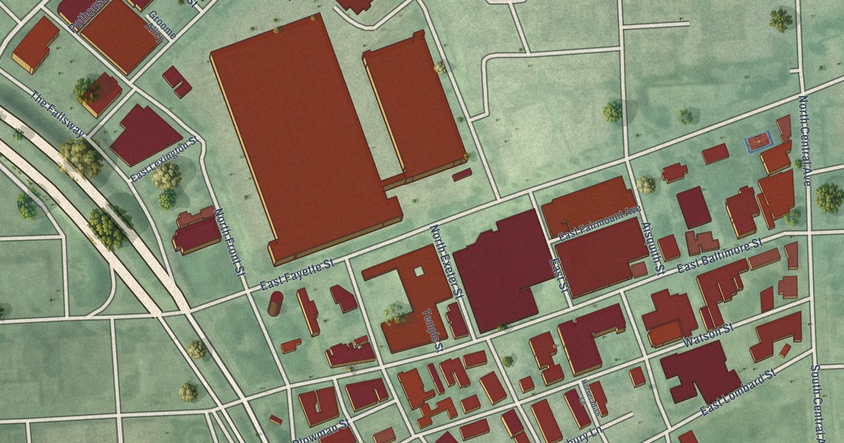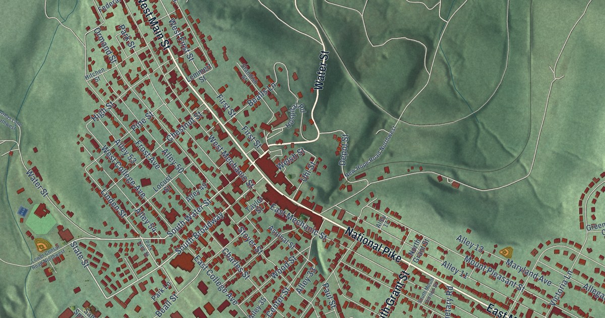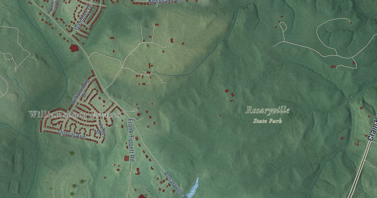
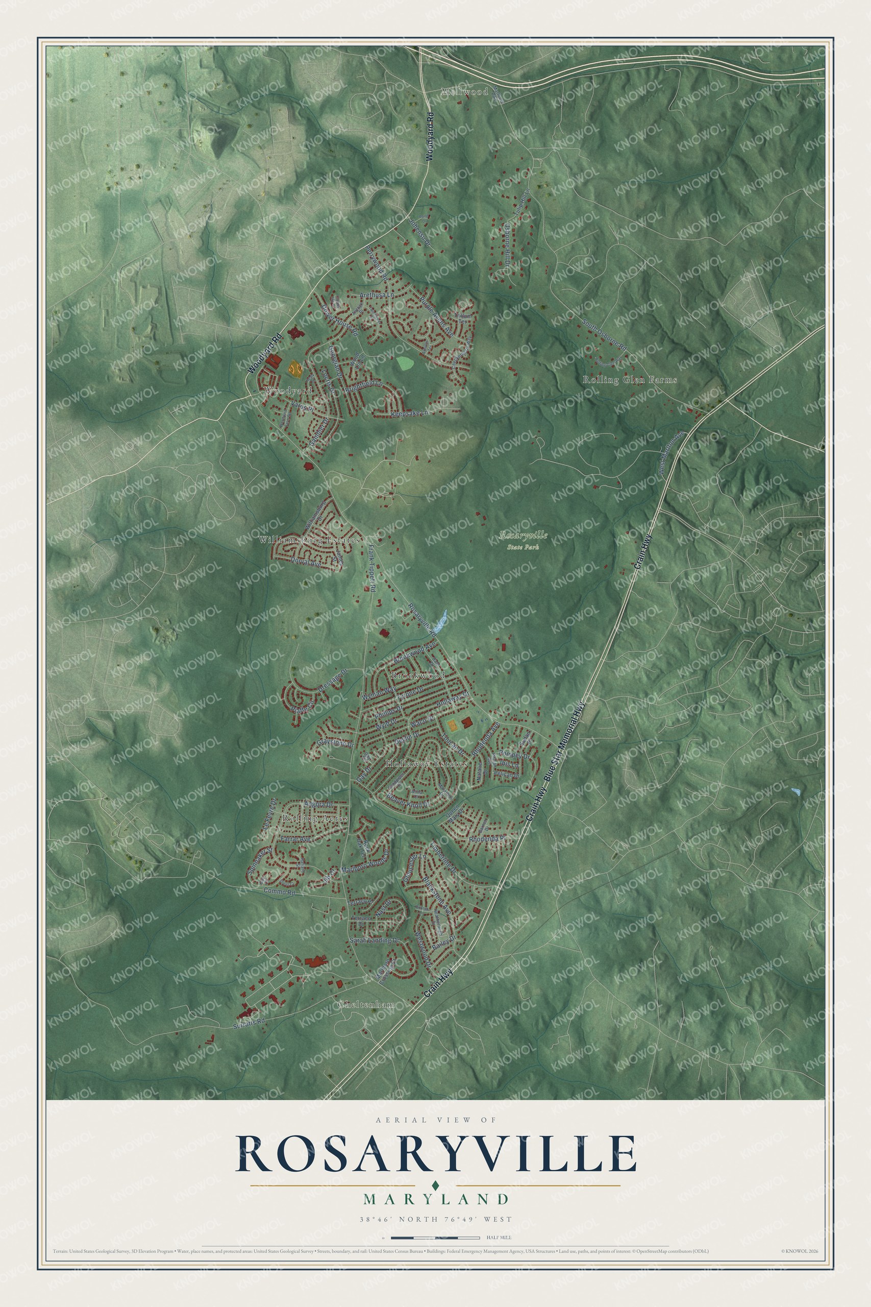
This beautifully detailed map of Rosaryville, Maryland was created in 2026 using aerial imagery combined with modern topographical, census, street and landmark data. It's a modern aerial view of Rosaryville in Prince George's County, Maryland, that combines modern data with a vintage aesthetic. The roads feature printed names, and if you look closely you can find your exact house accurately shown in its correct location.
Explore an aerial view of Rosaryville, Maryland
On this map you'll find Mellwood, Cheltenham, Rosaryville State Park, Hollaway Estates, Rolling Glen Farms, Williamsburg Estates, Rolling Acres, Woodyard, Brookwood, Woodyard Road, Crain Highway, Blue Star Memorial Highway, and more. Each red shape is a building, so zoom in on the preview and look for yours.
Rosaryville is a community in Prince George's County. The Census Bureau counted 11,548 people here in 2020. The map prints the town name in its title panel, with the coordinates below it.
Take a closer look at the Rosaryville map
Names on this map
These names are printed on this map.
Places: Mellwood, Cheltenham, Rosaryville State Park, Hollaway Estates, Rolling Glen Farms, Williamsburg Estates, Rolling Acres, Woodyard and Brookwood.
Streets and roads: Woodyard Road, Crain Highway, Blue Star Memorial Highway, Rosaryville Road, Frank Tippett Road, South Osborne Road, Surratts Road, Rhodenda Avenue, Angora Drive, Perrywood Road, Hollaway Drive, Commo Road.
More street names, A to Z
Alina Court, Antock Place, Arbutus Terrace, Arethusa Lane, Bailey Drive, Beaver Knoll Drive, Blackstone Avenue, Brightfield Lane, Brixton Lane, Brookwood Avenue, Checkerberry Way, Copper Sky Court, Dale Drive, Devlin Drive, Dorval Avenue, Dower House Road, Dressage Drive, Farrar Avenue, Gambier Drive, Garnet Drive, Gay Drive, Gay Terrace, Georgian Drive, Gloucester Lane, Graystone Drive, Guy Court, Haliard Street, Healy Place, Heatherleigh Drive, Ibis Lane, James Street, Jib Court, Johensu Drive, Keepsake Lane, Le Fevre Drive, Locris Drive, Marathon Drive, Marlboro Crossing Court, Marlboro Pike, Marlboro Woods Drive, Nast Drive, Natalie Drive, Osborne Hill Drive, Pelican Drive, Phillips Drive, Piaffe Circle, Pitman Avenue, Pompey Drive, Pond Drive, Purple Avens Avenue, Queen Mary Drive, Rhodenda Place, Rock Oak Terrace, Rolling Glen Way, Sandpiper Drive, Sarah Landing Drive, Sheet Court, Spinnaker Street, Sudan Place, Terraco Drive, Terraco Place, Timberline Drive, Toucan Drive, Trillum Terrace, Tulip Hill Lane, Twinflower Place, Tyrone Drive, Varus Place, Waco Drive, West Marlton Avenue, Westwood Drive, Williamsburg Drive, Wood Lot Lane, Woodyard Farm Road, Wyld Drive, Wyman Way.
See it on a wall
The Rosaryville map as a framed print. Swipe for more.


Created by KNOWOL in 2026. The buildings are small red shapes, the roads carry their printed names, and shaded relief shows the shape of the land. The title panel reads "AERIAL VIEW OF ROSARYVILLE, MARYLAND" with 38°46' NORTH 76°49' WEST.
It looks right in a kitchen, an office or a den, and it's a gift for anyone who grew up in Rosaryville or moved away. Open the preview and find your street. See sizes and frames for the Rosaryville map.