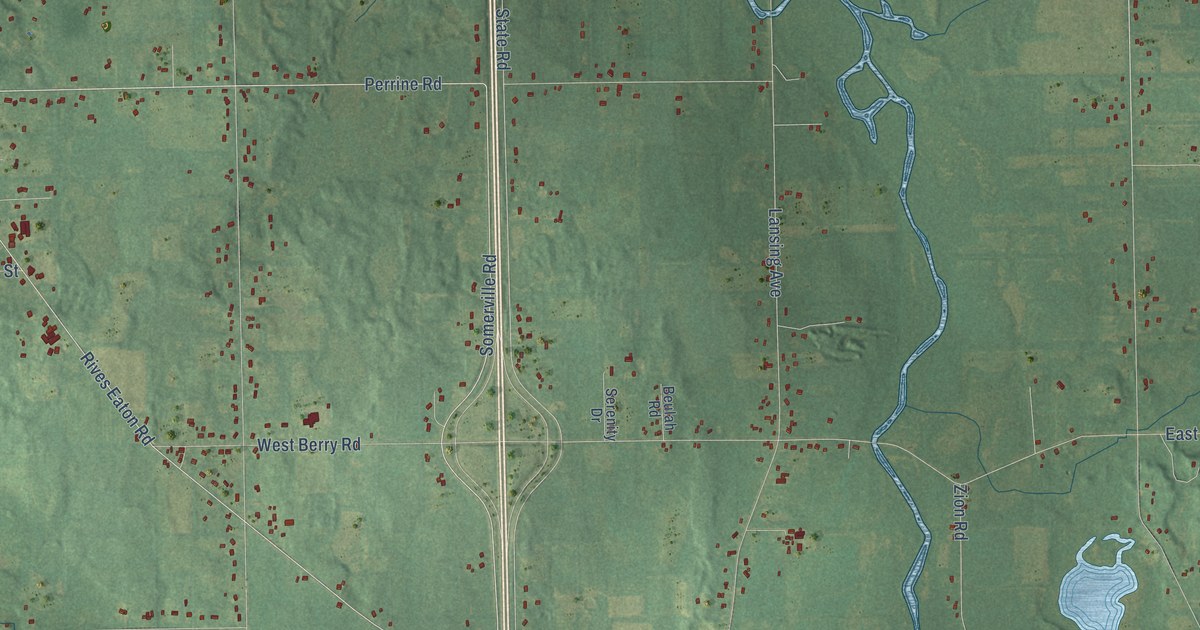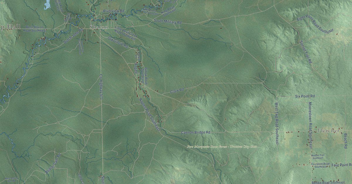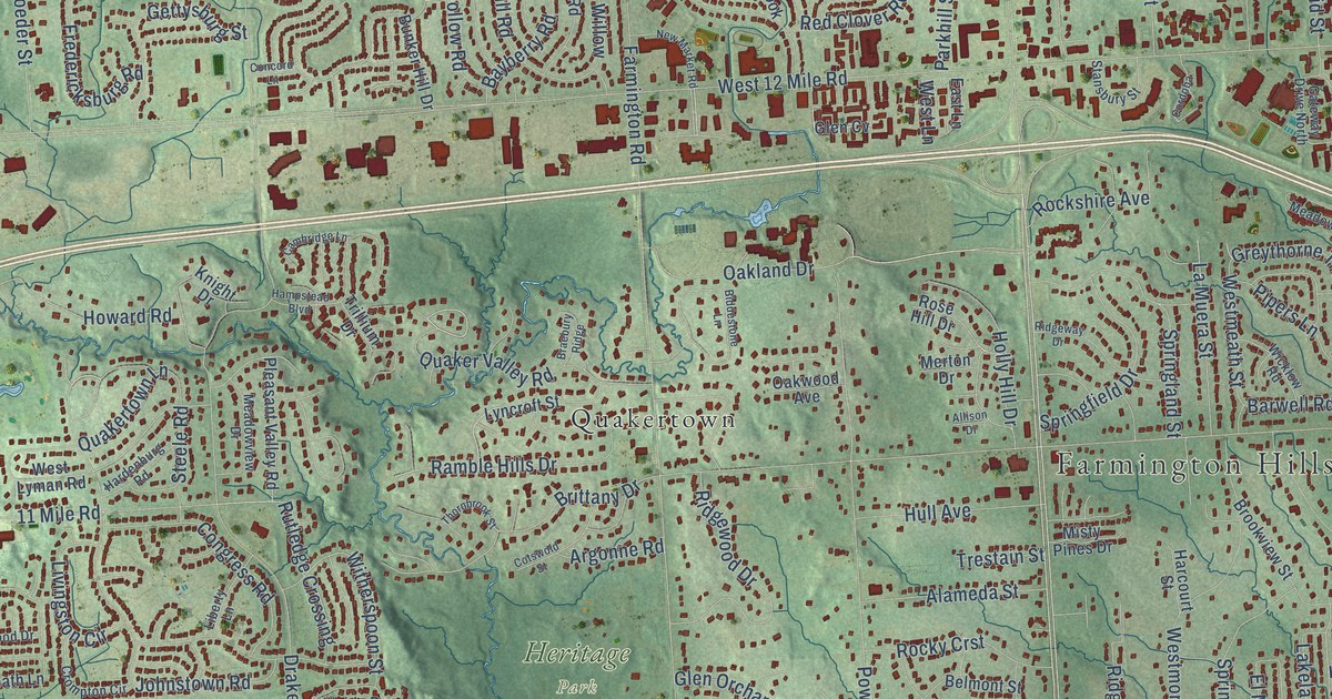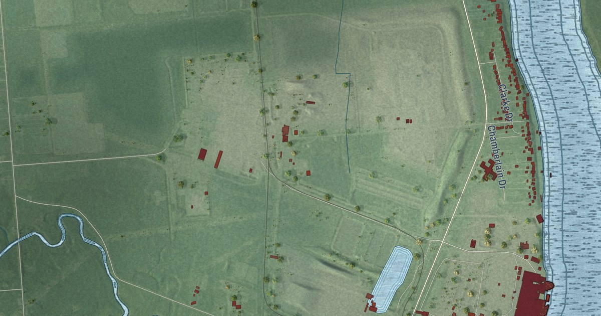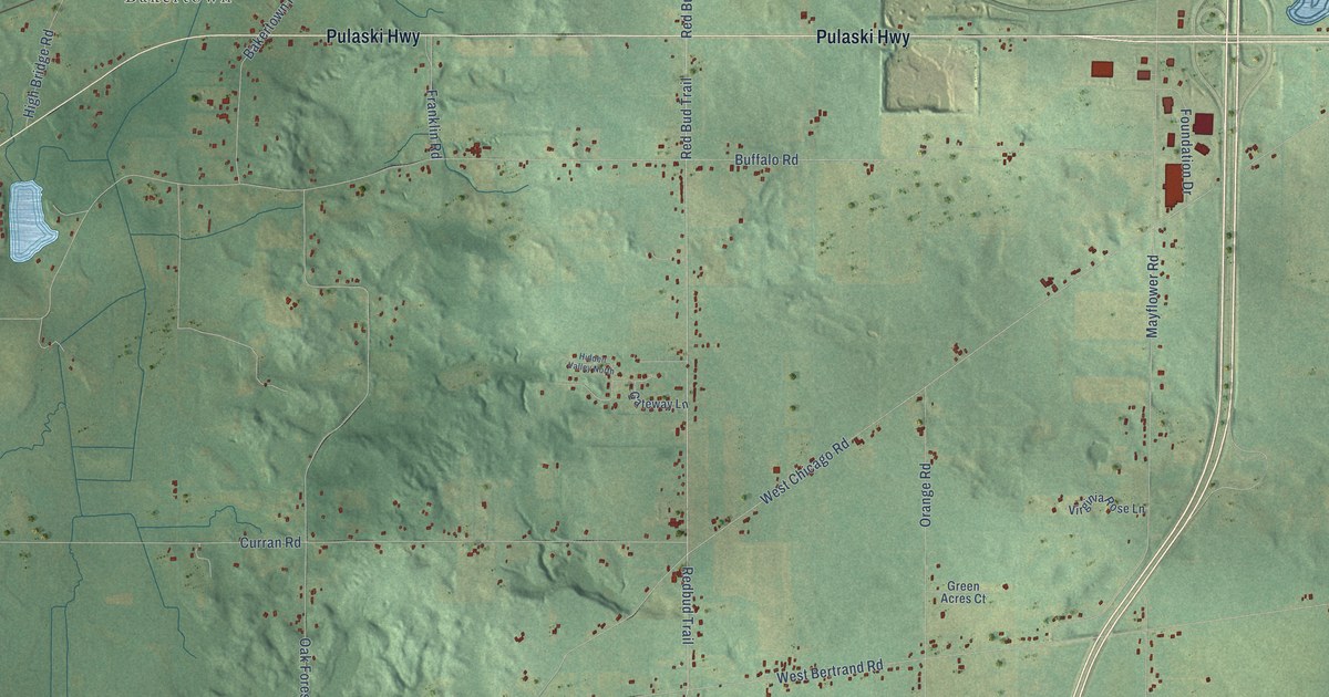
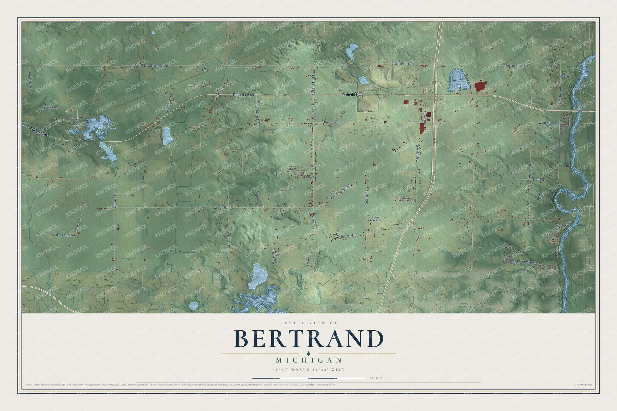
This beautifully detailed map of Bertrand, Michigan was created in 2026 using aerial imagery combined with modern topographical, census, street and landmark data. It's a modern aerial view of Bertrand in Berrien County, Michigan, that combines modern data with a vintage aesthetic. The roads feature printed names, and if you look closely you can find your exact house accurately shown in its correct location.
Explore an aerial view of Bertrand, Michigan
On this map you'll find Dayton, Bakertown, Pulaski Highway, Stonecreek Drive, Red Bud Trail South, Redbud Trail, Portage Road, York Road, Batten Road, Buffalo Road, West Chicago Road, West Bertrand Road, and more. Each red shape is a building, so zoom in on the preview and look for yours.
Bertrand has a story worth telling. The Twentieth Century History of Berrien County puts it this way: "Until 1847, the Catholics of Niles attended church at Bertrand, where a log church had been built in 1831, supplanted by a brick edifice in 1837."
The Census Bureau counted 2,611 people here in 2020.
Take a closer look at the Bertrand map
Names on this map
These names are printed on this map.
Places: Dayton and Bakertown.
Streets and roads: Pulaski Highway, Stonecreek Drive, Red Bud Trail South, Redbud Trail, Portage Road, York Road, Batten Road, Buffalo Road, West Chicago Road, West Bertrand Road, Mayflower Road, Dayton Road.
More street names, A to Z
Allouez Drive, Bakertown Road, Boyle Lake Road, Briar Road, Burrus Road, Chamberlain Road, Chevy Chase Road, Copp Road, Curran Road, Depot Street, East Galien Buchanan Road, Foundation Drive, Franklin Road, Gateway Lane, Green Acres Court, Hass Road, Hidden Valley North, High Bridge Road, High Meadow North, High Meadow South, Joliet Drive, Larkspur Trail, Mallard Drive, Oak Forest Road, Olive Branch Road, Orange Road, Orchard Lane, Pokagon Pass, Portage Prairie Trail, Red Bud Trail, Sage Road, Shoreland Drive, Signal Point Drive, Spirea Road, Virginia Rose Lane, Weaver Road, Weiser Road, West River Road, White Tail Drive, Witner Road.
Created by KNOWOL in 2026. The buildings are small red shapes, the roads carry their printed names, and shaded relief shows the shape of the land. The title panel reads "AERIAL VIEW OF BERTRAND, MICHIGAN" with 41°47' NORTH 86°22' WEST.
It looks right in a kitchen, an office or a den, and it's a gift for anyone who grew up in Bertrand or moved away. Open the preview and find your street. See sizes and frames for the Bertrand map.