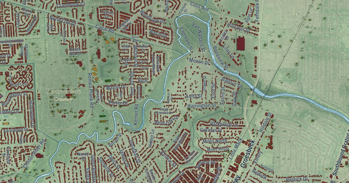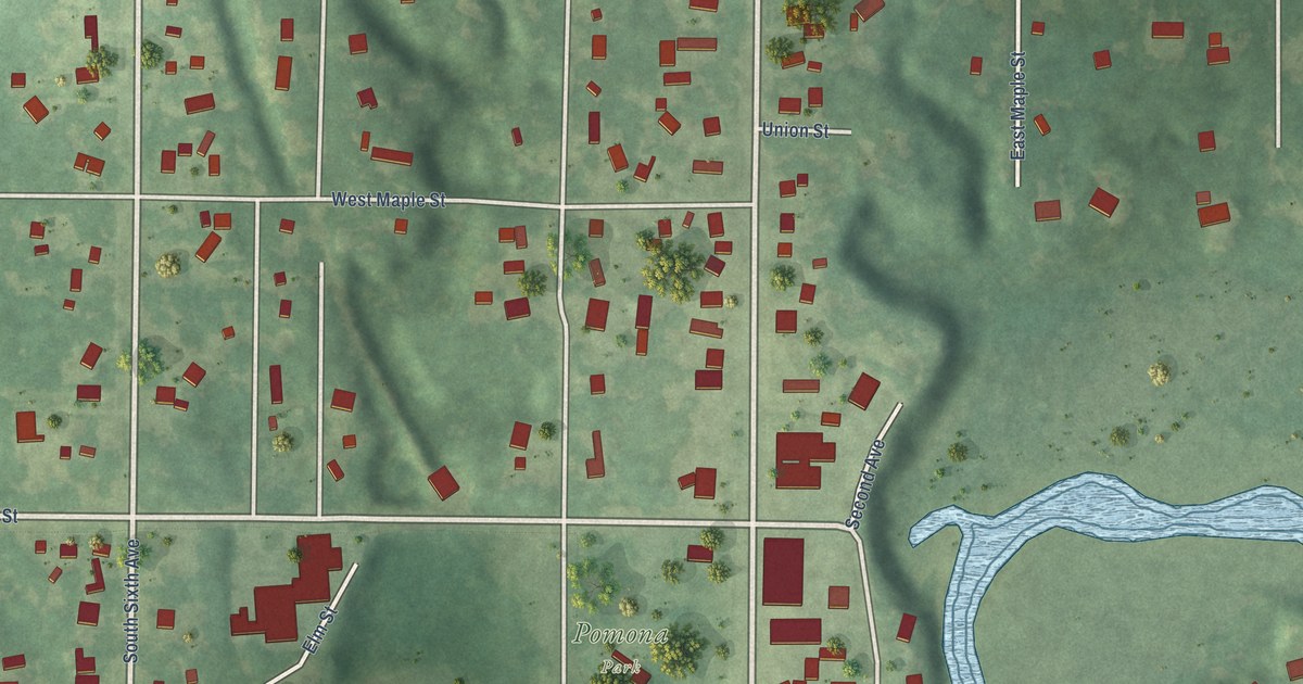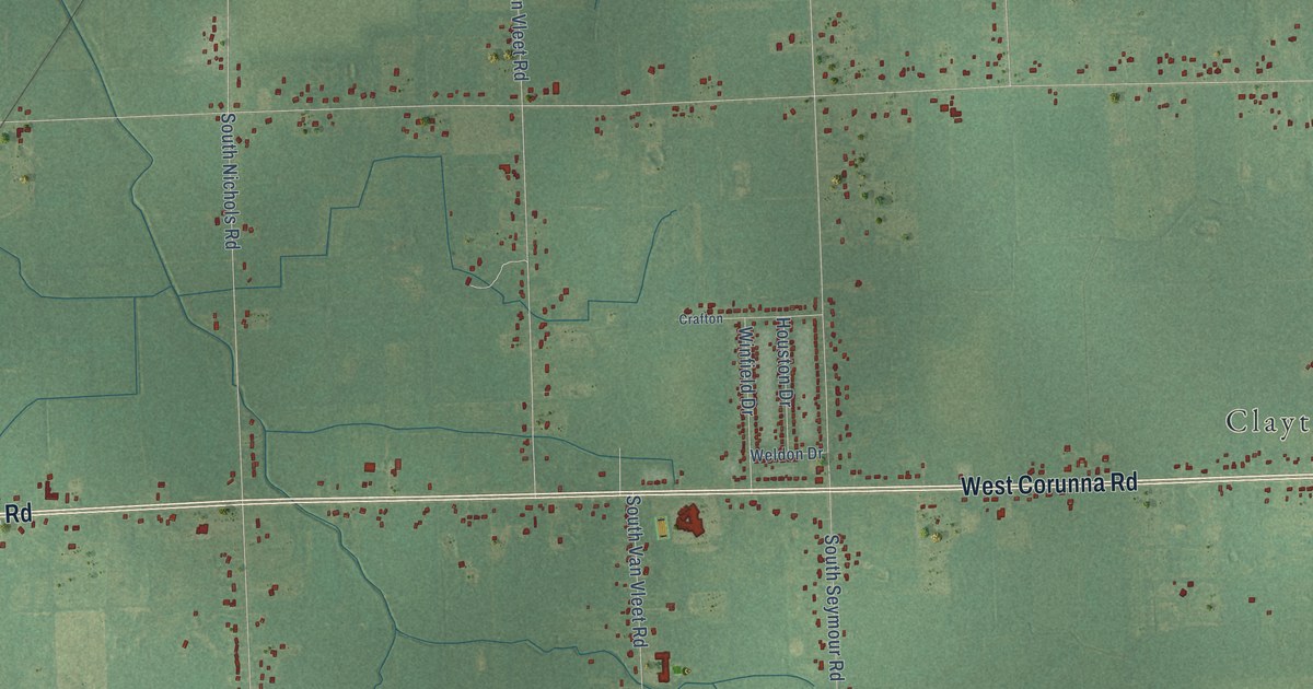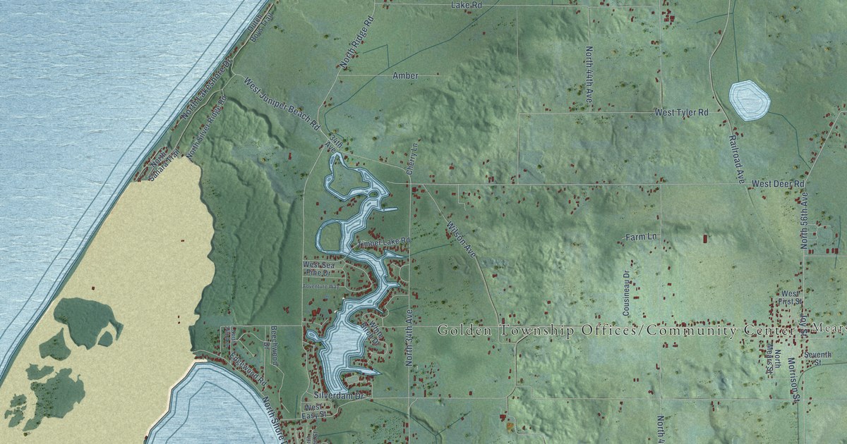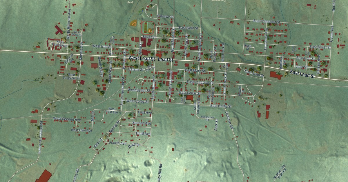
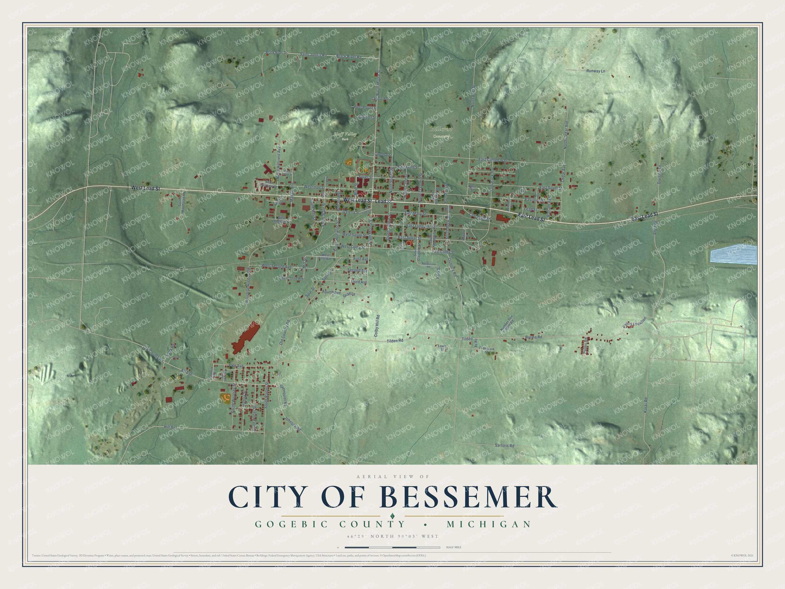
This beautifully detailed map of Bessemer, Michigan was created in 2026 using aerial imagery combined with modern topographical, census, street and landmark data. It's a modern aerial view of Bessemer in Gogebic County, Michigan, that combines modern data with a vintage aesthetic. The roads feature printed names, and if you look closely you can find your exact house accurately shown in its correct location.
Explore an aerial view of Bessemer, Michigan
On this map you'll find Yale, Bluff Valley Park, Hillcrest Cemetery, Lead Street, East Lead Street, West Lead Street, North Moore Street, Osmose Road, Palms Road, South State Street, First Avenue, South Hematite Street, and more. Each red shape is a building, so zoom in on the preview and look for yours.
Bessemer has a story worth telling. The History of the Northern Peninsula of Michigan puts it this way: "The opening of what is now the Colby mine gave Bessemer its first real start, and the second event which materially contributed to its wellbeing was the construction of the Chicago & Northwestern railroad through its site to Ironwood in 1884. This brought quite a number of settlers from Ontonagon, Rockland and other places."
Bessemer is a city in Gogebic County. The Census Bureau counted 1,805 people here in 2020.
Take a closer look at the Bessemer map
Names on this map
These names are printed on this map.
Places: Yale, Bluff Valley Park and Hillcrest Cemetery.
Streets and roads: Lead Street, East Lead Street, West Lead Street, North Moore Street, Osmose Road, Palms Road, South State Street, First Avenue, South Hematite Street, Black River Road, Tilden, South Moore Street.
More street names, A to Z
Anvil Road, Balsam Avenue, Black River Drive, Burma Road, Carlson Street, Cedar Avenue, Cinnabar Street, Colby Hill Road, Division Lane, East Cinnebar Street, East Colby Street, East Gold Street, East Iron Street, East Longyear Street, East Mary Street, East Sellar Street, East Silver Street, Eli Avenue, Florence Street, Fourth Avenue, Francesia Street, Galena Street, Granite, Grenquist Road, Hadley Street, Hematite Street, Hemlock Avenue, Hill Avenue, Hillcrest Avenue, Howell Street, Industrial Access Road, Johnson Road, Kalla Road, Koski Road, Langford Street, Leuzzo Road, Louis Street, Massie Avenue, Mill Street, Mine Street, North Beecher Street, North Case Street, North Cedar Avenue, North Clayberg Street, North East Street, North Fairview Drive, North Hillcrest Avenue, North Peck Street, North Sophie Street, North State Street, Novascone Road, Number Ten Shaft Road, Old Country Road, Old County Road, Palms Location, Park Street, Peck Street, Pine Avenue, Re Road, Rose Street, Runway Lane, Saint John's Road, Sartoris Road, Second Avenue, Silver Street, South Barber Street, South Beecher Street, South Case Street, South Clayberg Street, South Glyuna Street, South Marshalek Road, South Mill Street, South Peck Street, South Porter Street, South Sophie Street, South Woolsey Street, Spring Street, Spruce Avenue, Spur Street, State Street, Tamarack Avenue, Third Avenue, Tilden Road, West Alquist Street, West Colby Street, West First Avenue, West Galena Street, West Iron Street, West Longyear Street, West Second Avenue, West Sellar Street, West Silver Street, West Third Avenue, Yale Avenue.
Created by KNOWOL in 2026. The buildings are small red shapes, the roads carry their printed names, and shaded relief shows the shape of the land. The title panel reads "AERIAL VIEW OF CITY OF BESSEMER, GOGEBIC COUNTY • MICHIGAN" with 46°29' NORTH 90°03' WEST.
It looks right in a kitchen, an office or a den, and it's a gift for anyone who grew up in Bessemer or moved away. Open the preview and find your street. See sizes and frames for the Bessemer map.