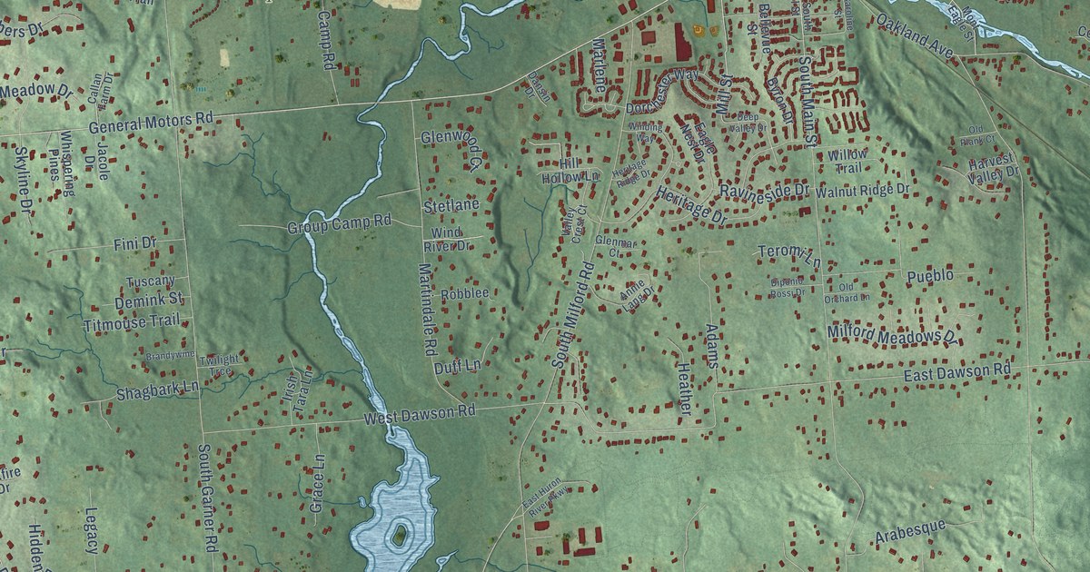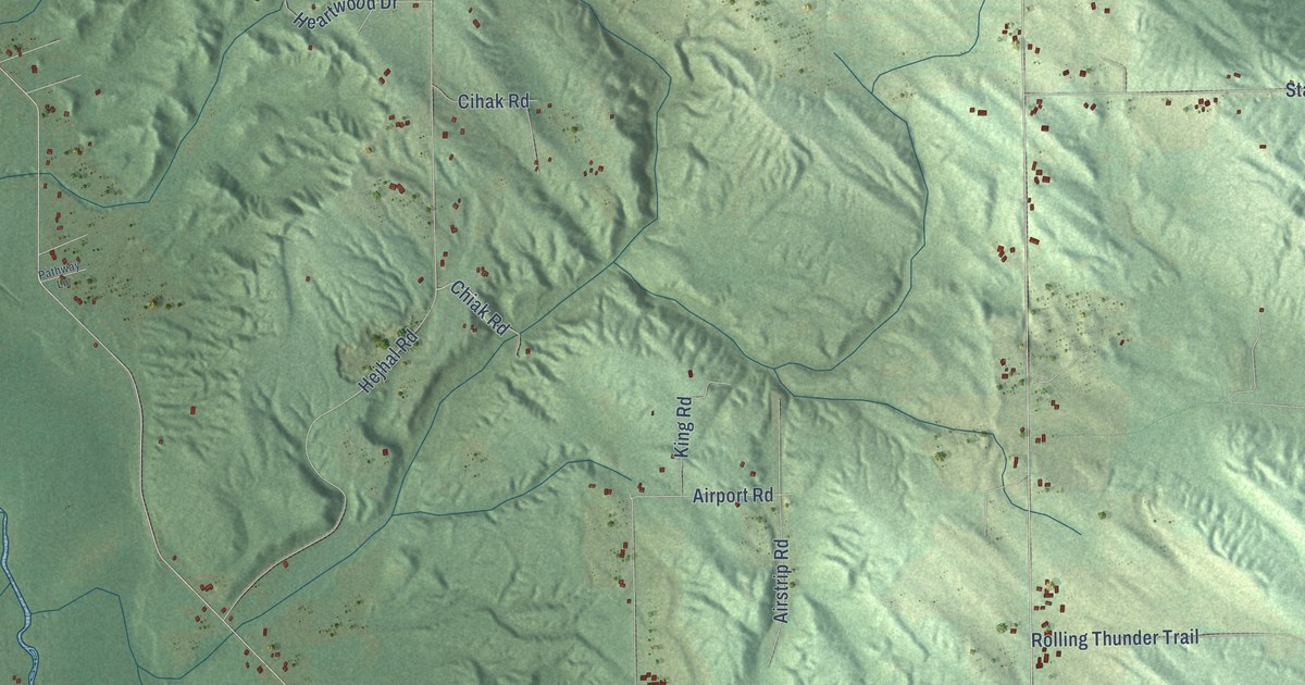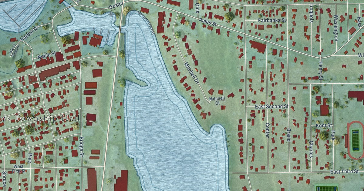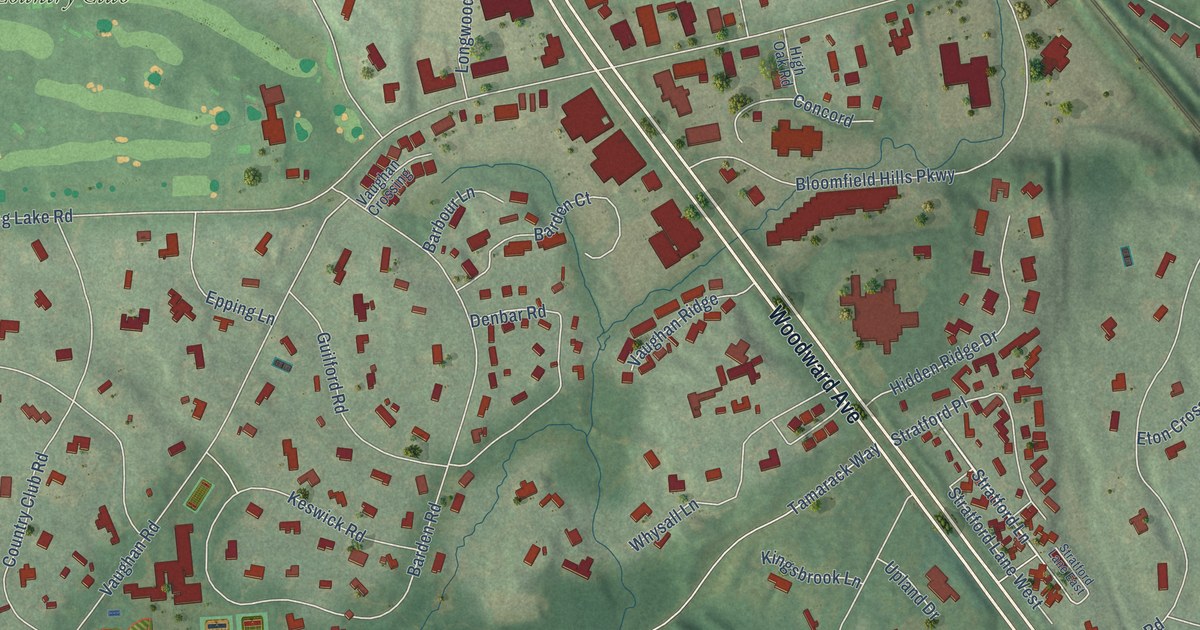
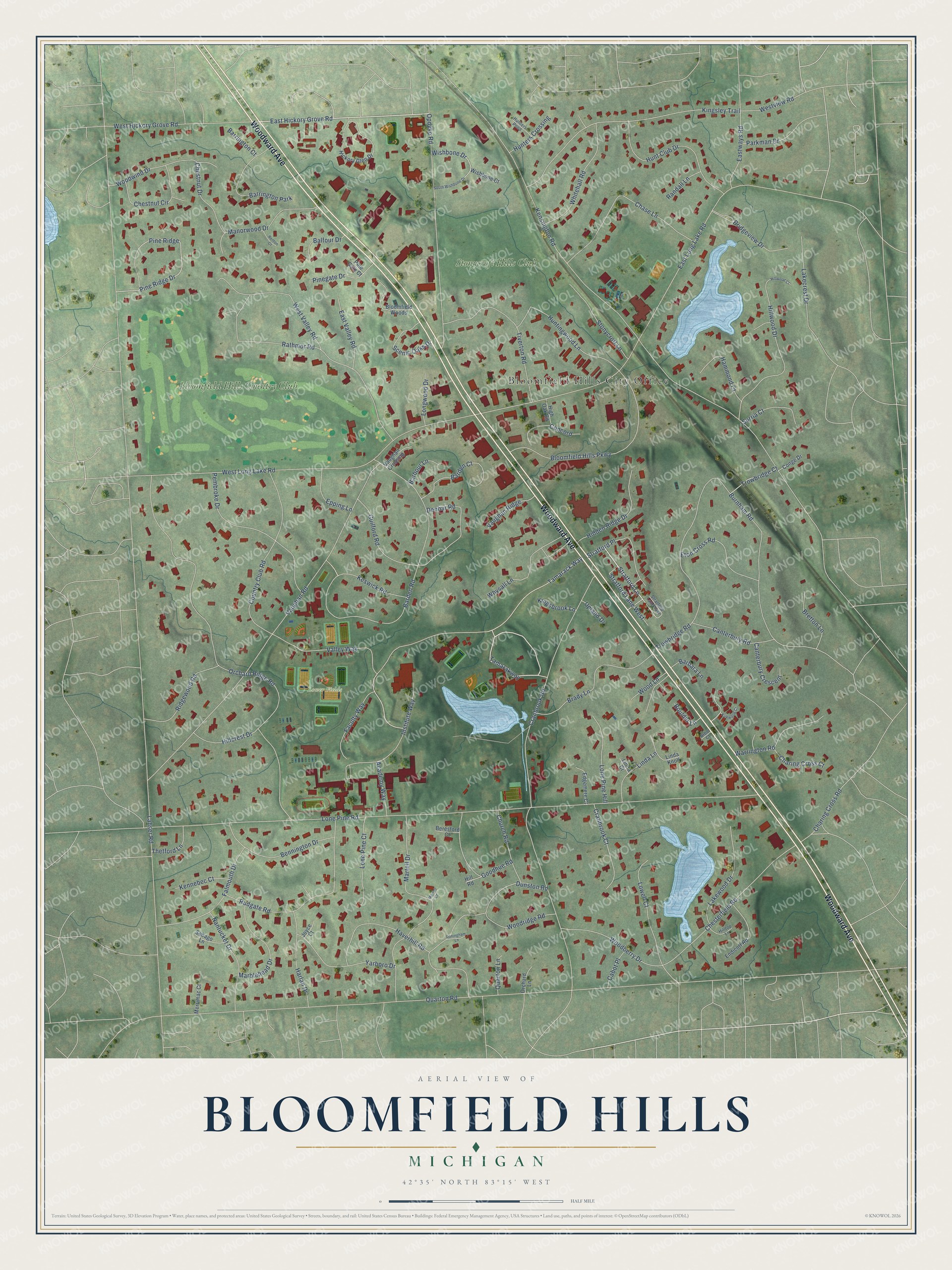
This beautifully detailed map of Bloomfield Hills, Michigan was created in 2026 using aerial imagery combined with modern topographical, census, street and landmark data. It's a modern aerial view of Bloomfield Hills in Oakland County, Michigan, that combines modern data with a vintage aesthetic. The roads feature printed names, and if you look closely you can find your exact house accurately shown in its correct location.
Explore an aerial view of Bloomfield Hills, Michigan
On this map you'll find Bloomfield Hills City Office, Lower Fields, Bloomfield Hills Country Club, Stonycroft Hills Club, Woodward Avenue, Tamarakway, East Hickory Grove Road, Stratford Lane, Lahser Road, Quarton Road, Lone Pine Road, Kensington Road, and more. Each red shape is a building, so zoom in on the preview and look for yours.
Bloomfield Hills has a story worth telling. The Michigan A Guide to the Wolverine State puts it this way: "In the early 1890’s, city dwellers, seeking privacy and quiet, began to purchase estates in the district. The name was changed to Bloomfield Hills, and in 1927 it was incorporated as a village; five years later it became a city."
Bloomfield Hills is a city in Oakland County. The Census Bureau counted 4,460 people here in 2020.
Take a closer look at the Bloomfield Hills map
Names on this map
These names are printed on this map.
Places: Bloomfield Hills City Office, Lower Fields, Bloomfield Hills Country Club, Stonycroft Hills Club and Barrington Park.
Streets and roads: Woodward Avenue, Tamarakway, East Hickory Grove Road, Stratford Lane, Lahser Road, Quarton Road, Lone Pine Road, Kensington Road, Cranbrook Road, Orchard Ridge Road, East Long Lake Road, Vaughan Road.
More street names, A to Z
Academy Way, Arbor Court, Balfour Drive, Barbara Lane, Barbour Lane, Barden Court, Barden Road, Barrington Court, Bennington Drive, Beresford Court, Bloomfield Hills Parkway, Bloomfield Woods, Boulder Lane, Brady Lane, Bretton Lane, Bridgeview Drive, Burnham Road, Cabot Place, Canterbury Crescent, Canterbury Road, Charing Cross Court, Charing Cross Road, Chase Lane, Chesterfield Road, Chestnut Circle, Chestnut Drive, Church Road, Concord, Conge Drive, Country Club Road, Cranbrook Court, Denbar Road, Doningham Lane, Dunston Road, East Valley Road, Eastways Road, Edgemere Court, Endicott Road, Epping Lane, Eton Cross Road, Faculty Way, Falmouth Drive, Goodhue Road, Guilford Road, Hammond Court, Harlan Drive, Haverhill Road, Hickory Glen Drive, Hidden Ridge Drive, High Oak Road, Hillcrest Drive, Hill Road, Hilltop Lane, Hillwood Court, Hillwood Drive, Hunt Club Drive, Hunters Crossing, Hunters Pond, Huntingwood Lane, Institute Way, Joyce Court, Kennebec Court, Keswick Road, Kingsbrook Lane, Kingsley Trail, Kirkwood Court, Lakecrest Drive, Lakewood Drive, Linda Court, Linda Knoll, Linda Lane, Lone Pine Court, Lone Pine Hill, Longwood Drive, Lowell Court, Manorwood Drive, Marblehead Drive, Martell Court, Martell Drive, Merrimac Court, Nantucket Drive, Opdyke Road, Orchard Lane, Parkman Drive, Pembroke Drive, Pine Gate Court, Pinegate Drive, Pine Ridge, Pine Ridge Drive, Quarton Lane, Randall Lane, Rathmor Road, Renton Court, Ridgewood Road, Rudgate Road, Scenic Oaks Drive, Sebago Lane, South Wishbone Drive, Stonycroft Lane, Stratford Lane East, Stratford Lane West, Stratford Place, Surria Court, Tamarack Way, Thetford Lane, Tiverton Road, Trowbridge Court, Trowbridge Road, Upland Drive, Valley Way, Vaughan Crossing, Vaughan Ridge, Warrington Road, West Hickory Grove Road, West Long Lake Road, West Valley Road, Westview Road, Whitehall Road, Whysall Lane, Wishbone Court, Wishbone Drive, Woodberry Drive, Wood Lane, Woodridge Road, Woodwind Drive, Yarboro Drive.
Created by KNOWOL in 2026. The buildings are small red shapes, the roads carry their printed names, and shaded relief shows the shape of the land. The title panel reads "AERIAL VIEW OF BLOOMFIELD HILLS, MICHIGAN" with 42°35' NORTH 83°15' WEST.
It looks right in a kitchen, an office or a den, and it's a gift for anyone who grew up in Bloomfield Hills or moved away. Open the preview and find your street. See sizes and frames for the Bloomfield Hills map.