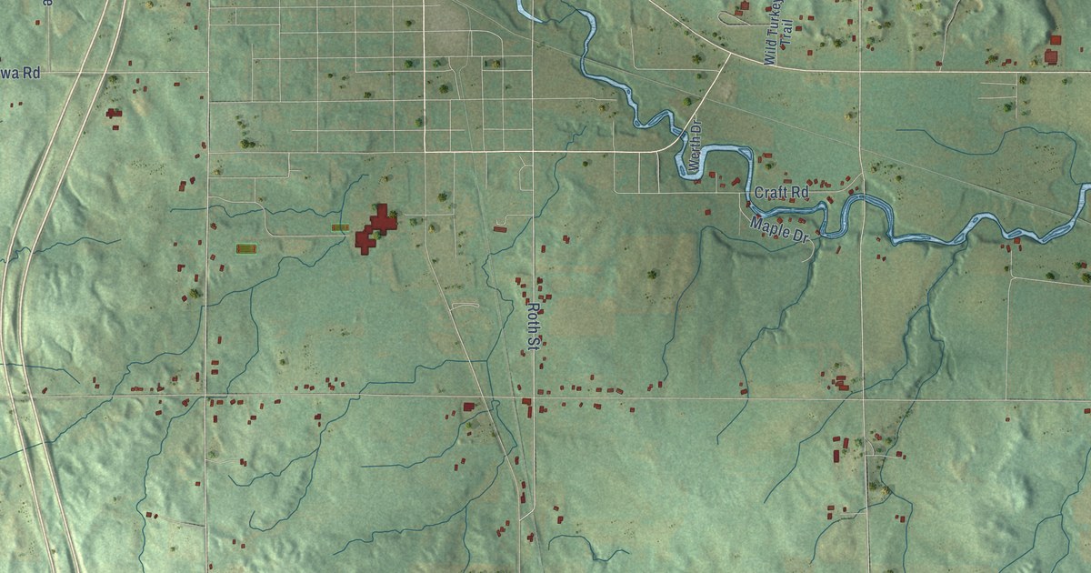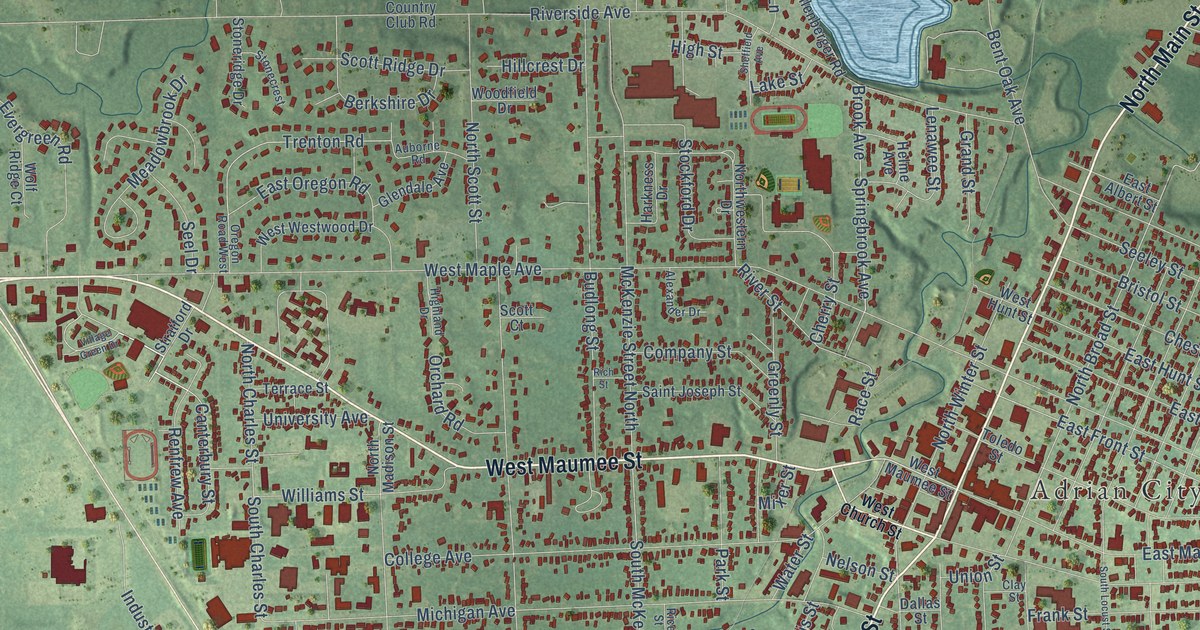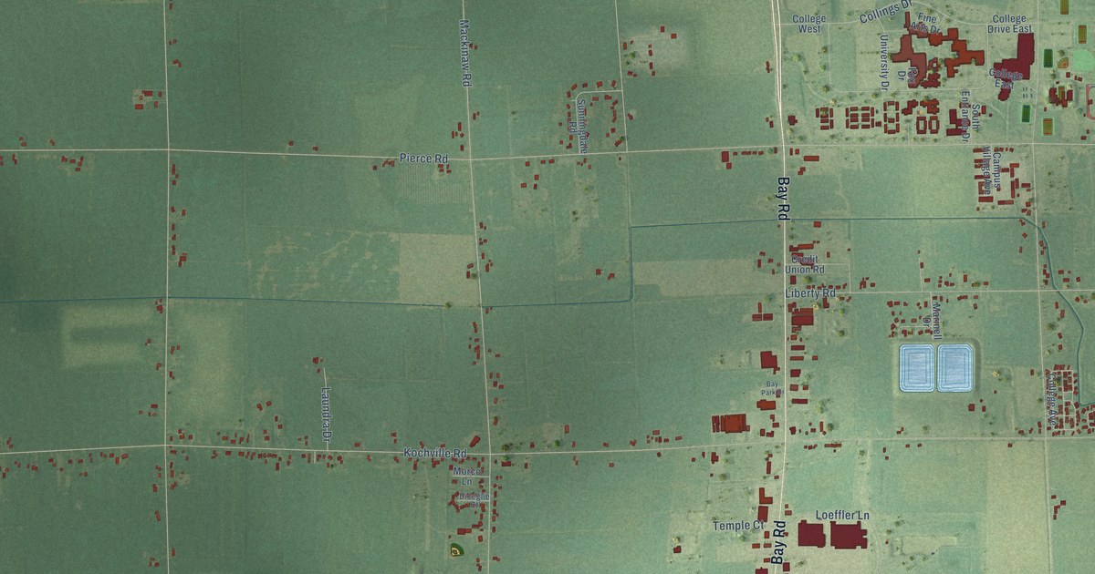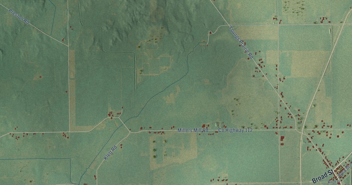
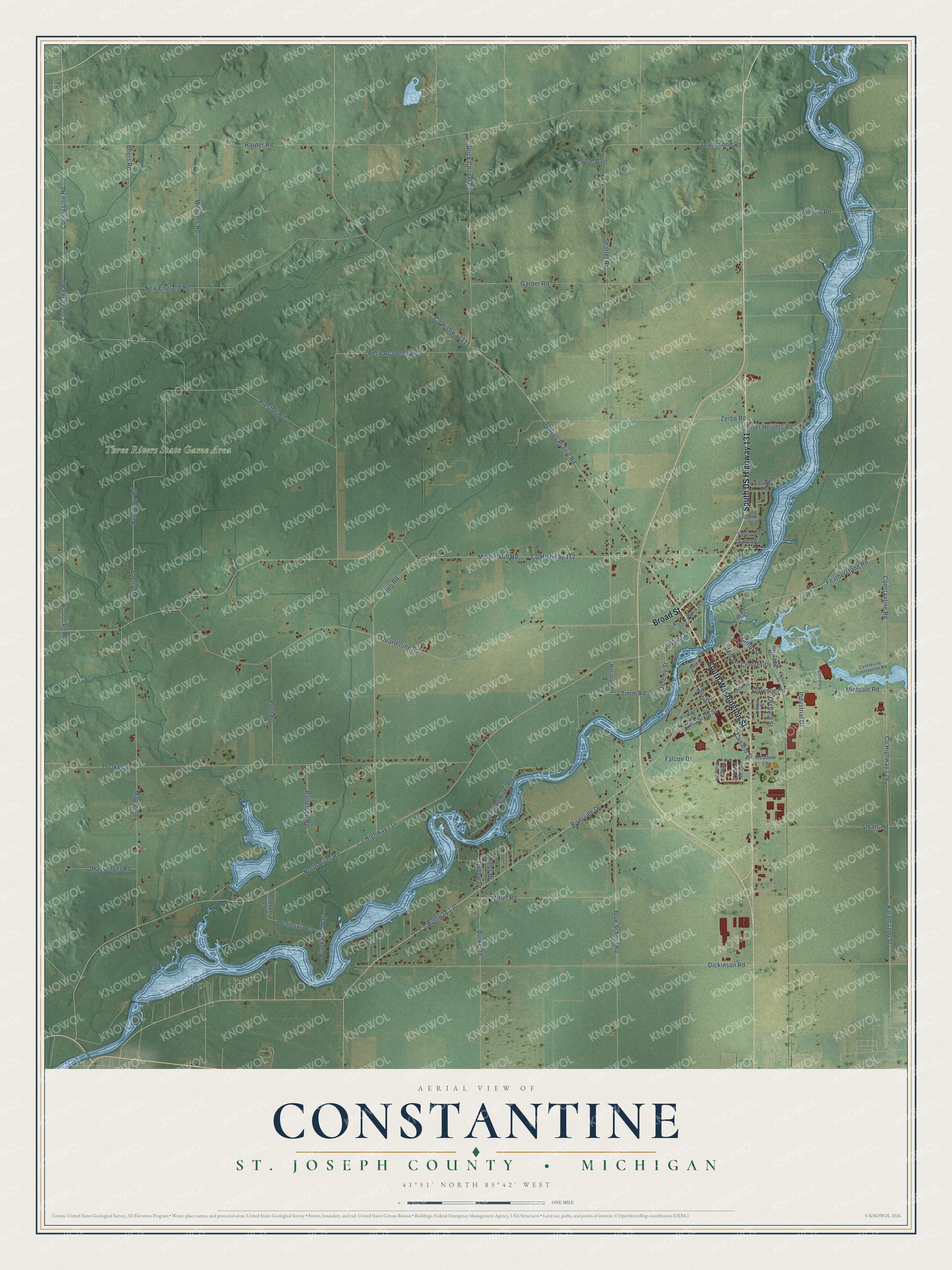
This beautifully detailed map of Constantine, Michigan was created in 2026 using aerial imagery combined with modern topographical, census, street and landmark data. It's a modern aerial view of Constantine in St. Joseph County, Michigan, that combines modern data with a vintage aesthetic. The roads feature printed names, and if you look closely you can find your exact house accurately shown in its correct location.
Explore an aerial view of Constantine, Michigan
On this map you'll find Three Rivers State Game Area, Broad Street, South US Highway 131, South Washington Street, Riverside Drive, Kalamazoo Street, Co Highway 114, Constantine Road, Norton Road, Co Highway 112, Millers Mill Road, North River Road, and more. Each red shape is a building, so zoom in on the preview and look for yours.
Constantine has a story worth telling. The History of St. Joseph County puts it this way: "The present constituted township of Constantine was organized in 1837, having been previously included in the township of White Pigeon."
The Census Bureau counted 4,037 people here in 2020.
Take a closer look at the Constantine map
Names on this map
These names are printed on this map.
Places: Three Rivers State Game Area.
Streets and roads: Broad Street, South US Highway 131, South Washington Street, Riverside Drive, Kalamazoo Street, County Highway 114, Constantine Road, Norton Road, County Highway 112, Millers Mill Road, North River Road, County Highway 111.
More street names, A to Z
Beers Road, Billys Drive, Birch Street, Black Run Way, Blue School Road, Brick Chapel Road, Burke Road, Canaris Street, Cass Street, Cemetery Street, Centreville Constantine Road, Centreville Road, Connie Street, Corey Lake Road, Country Lane, County Highway 129, County Highway 130, County Line Road, Diane Drive, Dickinson Road, Drummond Road, East Fifth Street, Falcon Drive, Featherstone Road, Florence Road, Foxtail Pine Street, Garber Road, Harder Road, Harvey Street, Hassenger Road, Horton Way, Industrial Drive, Jeremy Street, Juneberry Lane, Klett Road, Locust Street, Maple Road, Meadow Lane, Miller Road, Mill Street, Mintdale Road, Nerrman Road, New England Road, Orchard Street, Osborn Street, Oxbow Drive, Oxbow Road, Patterson Road, Peck Academy Road, Peninsula Lane, Plum Street, Preston Road, Purgatory Road, Quaker Street, Quarterline Road, Race Street, River Heights Road, Root Road, Sandra Drive, Shaffer Road, Sherry Road, Station Street, Stears Road, Timm Road, Water Street, West Fifth Street, West Sixth Street, West Water Street, White Pine Lane, Williams Road, Winding River Road, Withers Road, Youngs Prairie Road, Zerbe Road.
Created by KNOWOL in 2026. The buildings are small red shapes, the roads carry their printed names, and shaded relief shows the shape of the land. The title panel reads "AERIAL VIEW OF CONSTANTINE, ST. JOSEPH COUNTY • MICHIGAN" with 41°51' NORTH 85°42' WEST.
It looks right in a kitchen, an office or a den, and it's a gift for anyone who grew up in Constantine or moved away. Open the preview and find your street. See sizes and frames for the Constantine, St. Joseph County map.