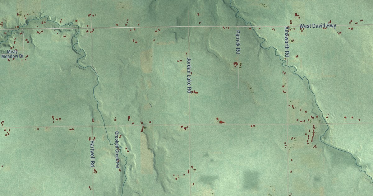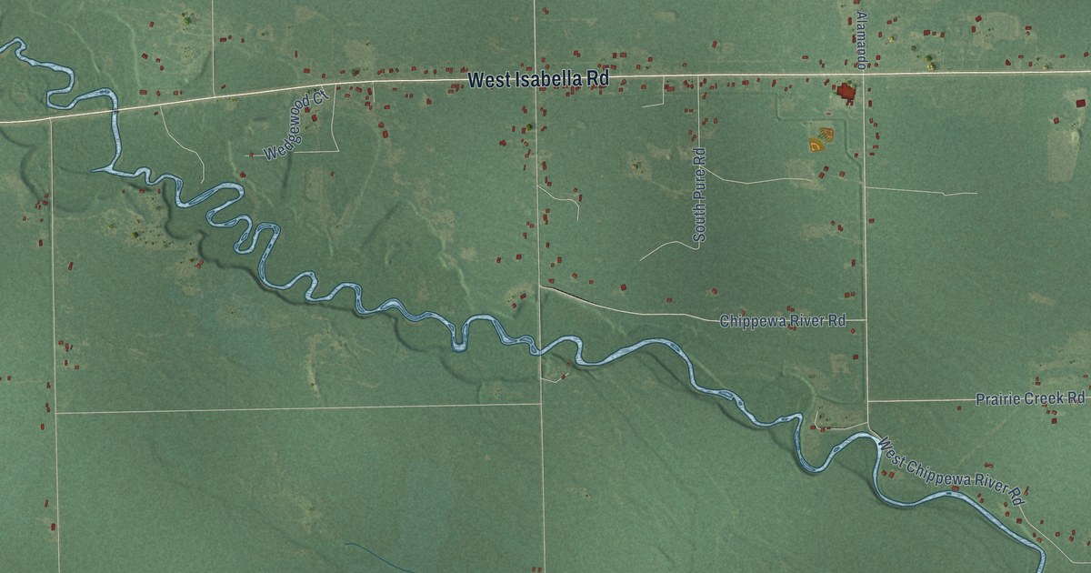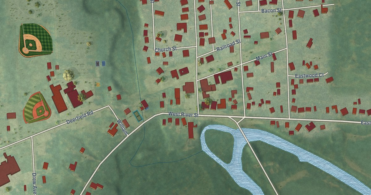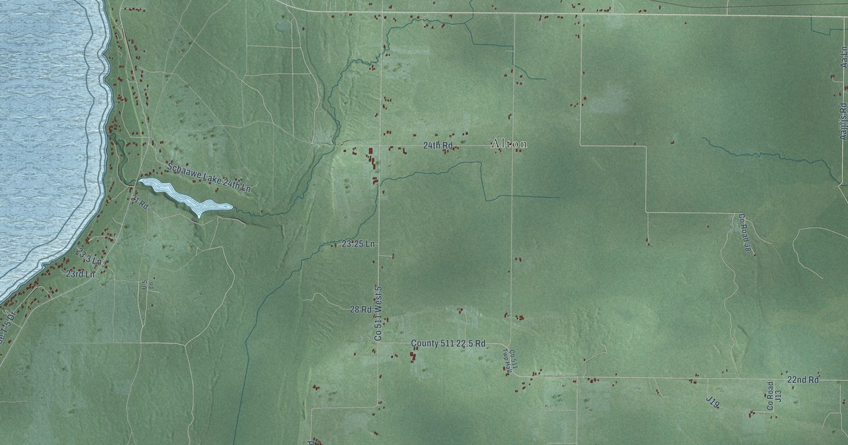
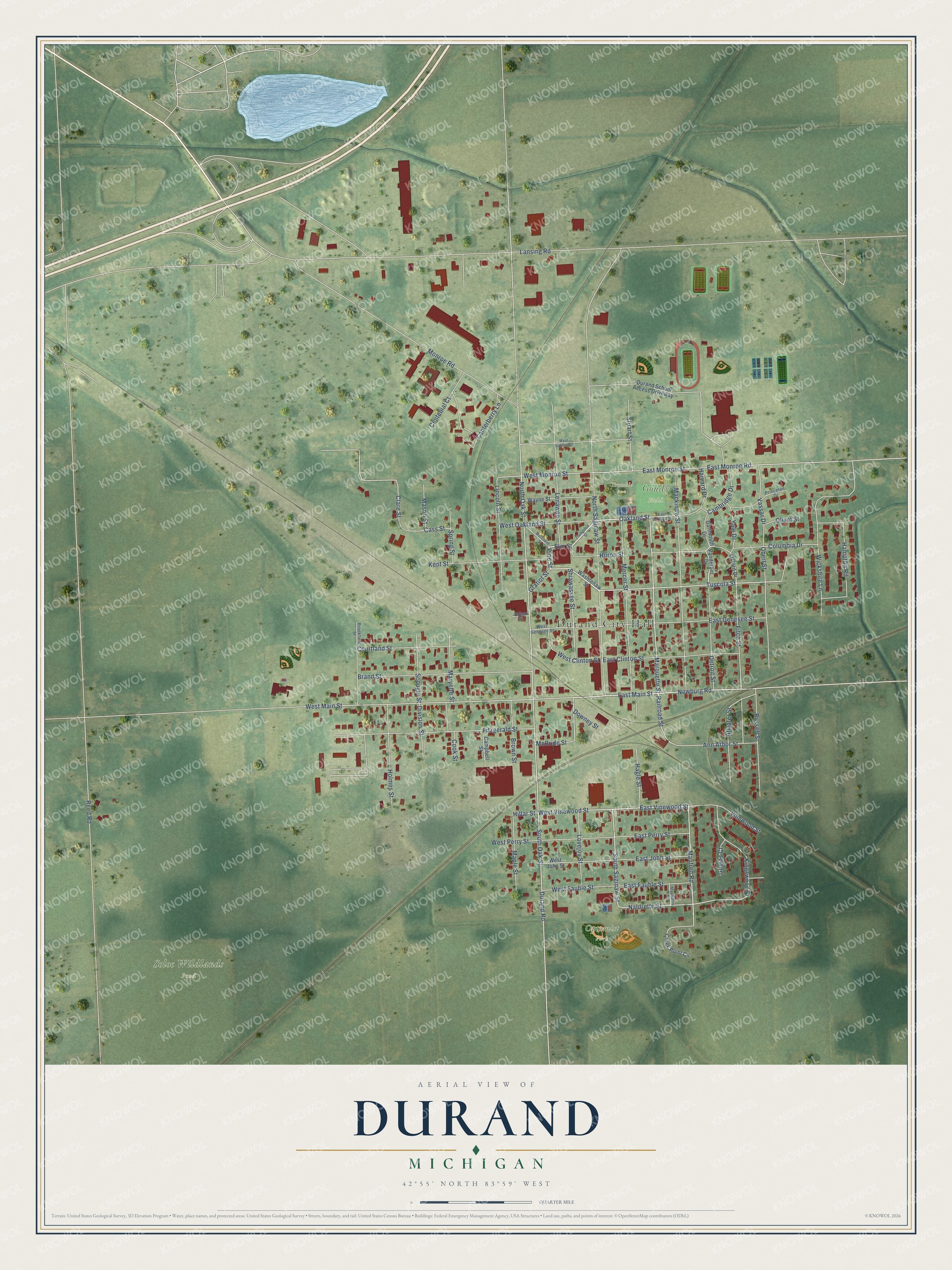
This beautifully detailed map of Durand, Michigan was created in 2026 using aerial imagery combined with modern topographical, census, street and landmark data. It's a modern aerial view of Durand in Shiawassee County, Michigan, that combines modern data with a vintage aesthetic. The roads feature printed names, and if you look closely you can find your exact house accurately shown in its correct location.
Explore an aerial view of Durand, Michigan
On this map you'll find Durand City Hall, Optomist Park, Soloc Wildlands Pond, Goudy Field, Trumble Park, Elm Street, Pine Street, Oakland Street, East Vinewood Street, Marquette Street, Manfred Road, South Saginaw Street, and more. Each red shape is a building, so zoom in on the preview and look for yours.
Here is a piece of Durand history, in the words of the record. The Past and Present of Shiawassee County puts it this way: "Mr. Brand relates with pardonable pride that he built the first saw mill, stave mill, feed mill and blacksmith shop in Durand, and was the first dealer in lumber, furniture, and clothing."
Durand is a city in Shiawassee County. The Census Bureau counted 3,507 people here in 2020.
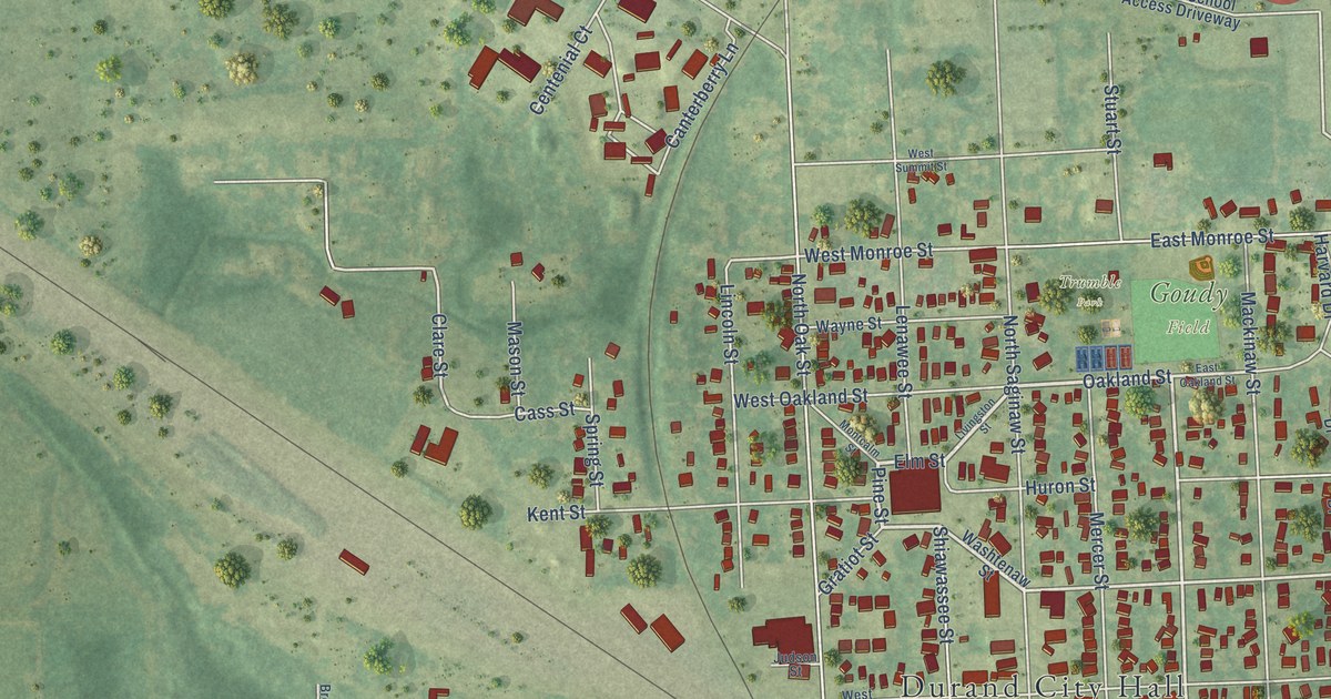
Take a closer look at the Durand map
Names on this map
These names are printed on this map.
Places: Durand City Hall, Optomist Park, Soloc Wildlands Pond, Goudy Field and Trumble Park.
Streets and roads: Elm Street, Pine Street, Oakland Street, East Vinewood Street, Marquette Street, Manfred Road, South Saginaw Street, West Vinewood Street, Newburg Road, East Main Street, Tuscola Street, Railroad Street.
More street names, A to Z
Ann Arbor Street, Atwater Street, Brand Street, Brookfield Street, Brown Street, Cambridge Drive, Campbell Street, Canterberry Lane, Cass Street, Centenial Court, Clare Street, Columbia Drive, Cook Street, Courtland Street, Creek Point Circle, Dartmouth Drive, Detroit Street, Division Street, Downey Street, Durand Road, Durand School Access Driveway, East Clinton Street, East Fauble Street, East Genesee Street, East John Street, East Monroe Road, East Monroe Street, East Oakland Street, East Perry Street, Fitch Street, Fitzgerald Street, Gomas Court, Gratiot Street, Hagle Street, Hampton Road, Harvard Drive, Hillar Street, Holmes Street, Huron Street, Judson Street, Kent Street, Kingswood Street, Lansing Road, Lenawee Street, Lincoln Street, Livingston Street, Lovejoy Street, Mackinaw Street, Mapleston Street, Maple Street, Maryette Street, Mason Street, McBride Street, Mercer Street, Monroe Road, Montcalm Street, Naldrette Street, North Oak Street, North Saginaw Street, Obert Street, Olivet Street, Oxford Drive, Princeton Drive, Reed Road, Russell Street, Scougle Street, Shiawassee Street, South Oak Street, Spring Street, Stuart Street, Vanderbilt Drive, Vassar Drive, Vinewood Street, Washtenaw Street, Wayne Street, West Clinton Street, West Fauble Street, West Genesee Street, West John Street, West Main Street, West Monroe Street, West Oakland Street, West Perry Street, West Summit Street, Wickshire Lane, Yale Drive.
Created by KNOWOL in 2026. The buildings are small red shapes, the roads carry their printed names, and shaded relief shows the shape of the land. The title panel reads "AERIAL VIEW OF DURAND, MICHIGAN" with 42°55' NORTH 83°59' WEST.
It suits a den, a classroom or a front hall, and it makes a gift for anyone with Durand roots. Open the preview and find the block you know. See sizes and frames for the Durand map.