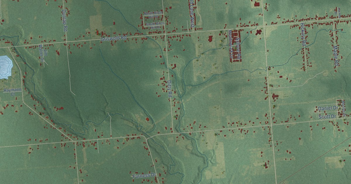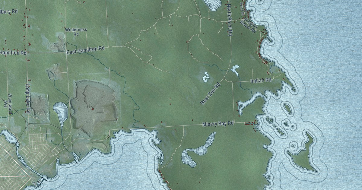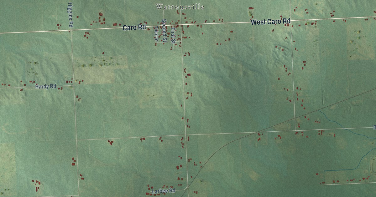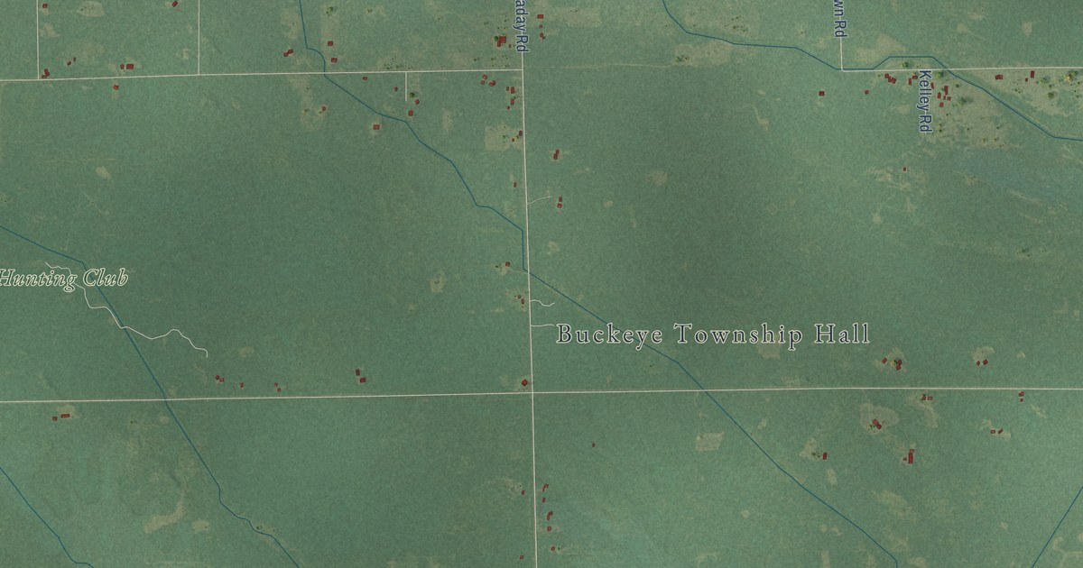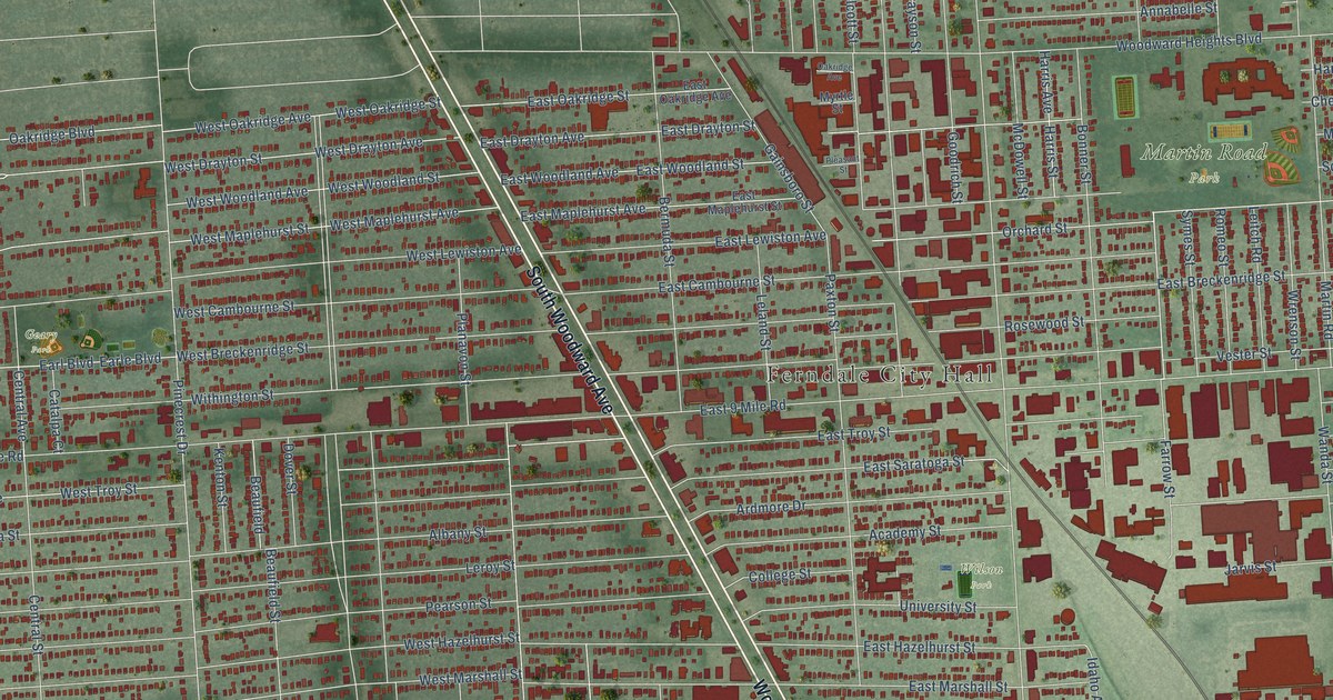
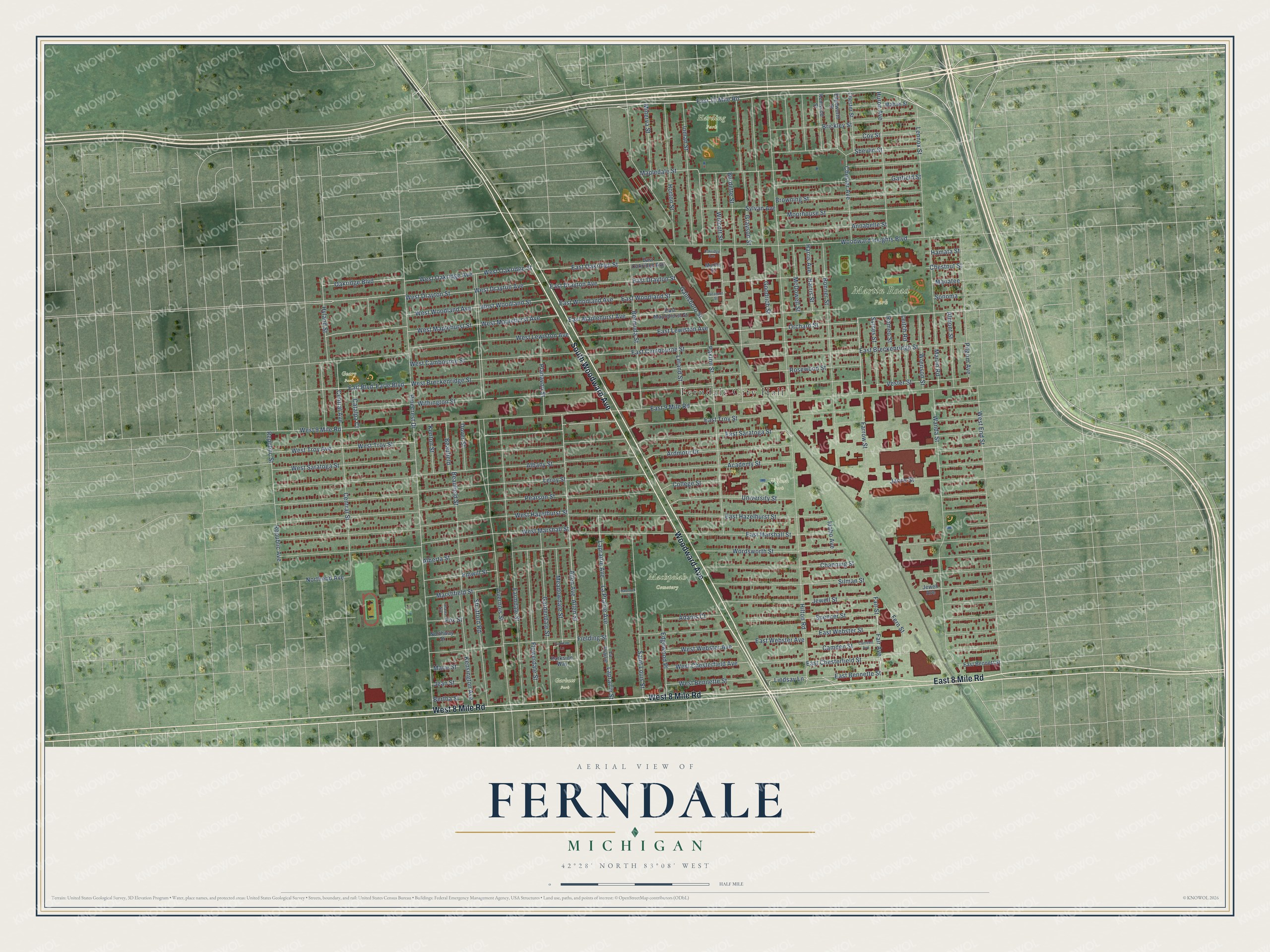
This beautifully detailed map of Ferndale, Michigan was created in 2026 using aerial imagery combined with modern topographical, census, street and landmark data. It's a modern aerial view of Ferndale in Oakland County, Michigan, that combines modern data with a vintage aesthetic. The roads feature printed names, and if you look closely you can find your exact house accurately shown in its correct location.
Explore an aerial view of Ferndale, Michigan
On this map you'll find Ferndale City Hall, Harding Park, Machpelah Cemetery, Martin Road Park, Geary Park, Garbutt Park, Wilson Park, South Woodward Avenue, Woodward Avenue, West 8 Mile Road, East 8 Mile Road, East 10 Mile Road, and more. Each red shape is a building, so zoom in on the preview and look for yours.
Every town has a first chapter, and Ferndale is no exception. The Michigan History Center puts it this way: "During the 1950s, as Oakland County's population soared, the corner of Eight Mile Road and Woodward Avenue became the most congested crossroad in Michigan."
Ferndale is a city in Oakland County. The Census Bureau counted 19,190 people here in 2020.
Take a closer look at the Ferndale map
Names on this map
These names are printed on this map.
Places: Ferndale City Hall, Harding Park, Machpelah Cemetery, Martin Road Park, Geary Park, Garbutt Park and Wilson Park.
Streets and roads: South Woodward Avenue, Woodward Avenue, West 8 Mile Road, East 8 Mile Road, East 10 Mile Road, Farrow Street, Orchard Street, Pinecrest Drive, Sylvan Avenue, West Drayton Street, Livernois Street, Hilton Road.
More street names, A to Z
Academy Street, Adams Court, Albany Street, Alberta Street, Allen Avenue, Allen Street, Almont Street, Annabelle Street, Ardmore Drive, Beaufield, Beaufield Street, Bermuda Street, Bertha Street, Bonner Street, Brickley Street, Browning Street, Burdette Street, Camden Avenue, Camden Street, Catalpa Court, Central Avenue, Central Street, Channing Street, Chester Avenue, Chester Street, Chestnut Street, College Street, Coy Street, Dover Street, Earl Boulevard, Earle Boulevard, East 9 Mile Road, East Bennette Street, East Bennett Street, East Breckenridge Street, East Cambourne Street, East Chesterfield Street, East Drayton Avenue, East Drayton Street, East Hazelhurst Street, East Lewiston Avenue, East Maplehurst Avenue, East Maplehurst Street, East Marshall Street, East Oakridge Avenue, East Oakridge Street, East Saratoga Street, East Troy Street, East Webster Avenue, East Webster Street, East Woodland Avenue, East Woodland Street, Edgewood Place, Edgeworth Street, Emwill Street, Fair Avenue, Fair Street, Farmdale Street, Fern Street, Fielding Street, Flowerdale Street, Fox Street, Gainsboro Street, Gardendale Street, Garfield Street, Goodrich Street, Grayson Street, Hamata Street, Hancock Court, Harris Avenue, Harris Street, Horton Street, Huron Avenue, Hyland Street, Idaho Avenue, Inman Street, Jarvis Street, Jean Street, Jewell Avenue, Jewell Street, Kensington Avenue, Kenton Street, Kenwood Street, La Prairie, Laprairie Avenue, La Prairie Avenue, Laprairie Street, Leitch Road, Leland Street, Lennox Street, Leroy Street, Lindsay Lane, Mahan Street, Manatee, Mapledale Street, Marie Street, Marshfield Street, Martin Road, McDowell Street, Meadowdale Street, Minerva Street, Moorhouse Street, Myrtle Street, Northend Avenue, Northway Street, Oakridge Avenue, Oakridge Boulevard, Parkdale Lane, Parkside Way, Paxton Street, Pearson Street, Pilgrim Avenue, Planavon Street, Pleasant Street, Republic Avenue, Republic Street, Romeo Street, Rosewood Street, Saint Louis Street, Shasta Avenue, Shevlin Street, Silman Street, Sonoma, Spencer Street, Stratford Road, Symes Street, University Street, Vester Street, Wanda Street, West 9 Mile Road, West Bennette Street, West Breckenridge Street, West Cambourne Street, West Chesterfield Avenue, West Drayton Avenue, West End Street, West Hazelhurst Street, West Lewiston Avenue, West Maplehurst Avenue, West Maplehurst Street, West Marshall Street, West Oakridge Avenue, West Oakridge Street, West Saratoga Street, West Troy Avenue, West Troy Street, West Webster Avenue, West Woodland Avenue, West Woodland Street, Withington Street, Wolcott Street, Woodward Heights Boulevard, Wordsworth Street, Wrenson Street.
Created by KNOWOL in 2026. The buildings are small red shapes, the roads carry their printed names, and shaded relief shows the shape of the land. The title panel reads "AERIAL VIEW OF FERNDALE, MICHIGAN" with 42°28' NORTH 83°08' WEST.
Hang it in the hallway, the office or the cabin, or give it to someone who left Ferndale and still calls it home. Open the preview and look for a street you know. See sizes and frames for the Ferndale map.